Foamfire Valley and Hutaaka — the Lost Valley, 2 miles per hex (1986)
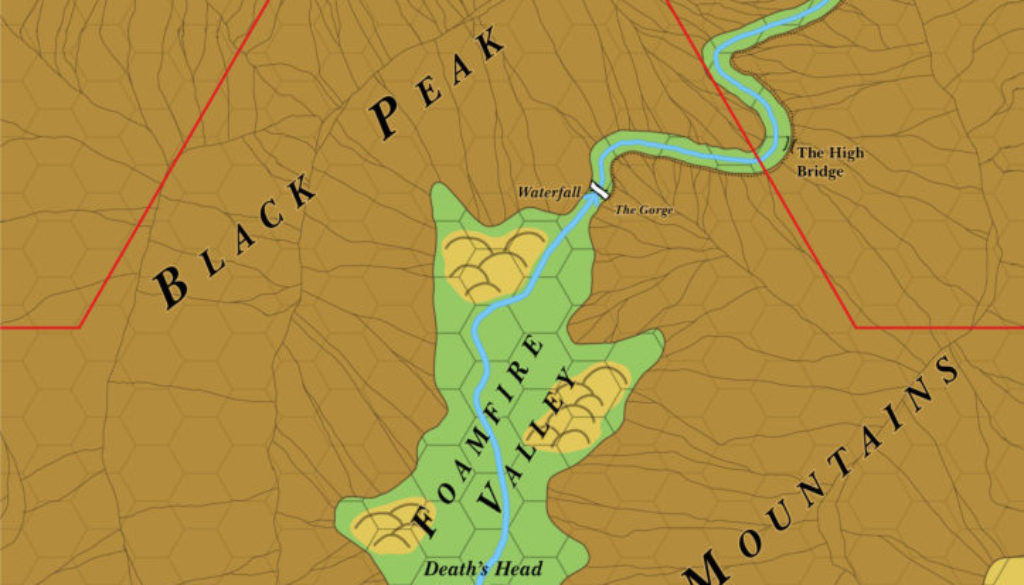
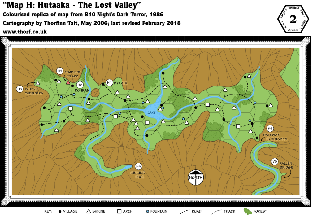
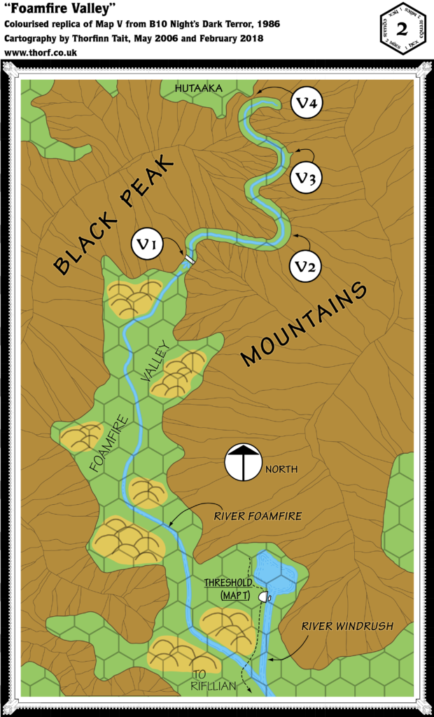
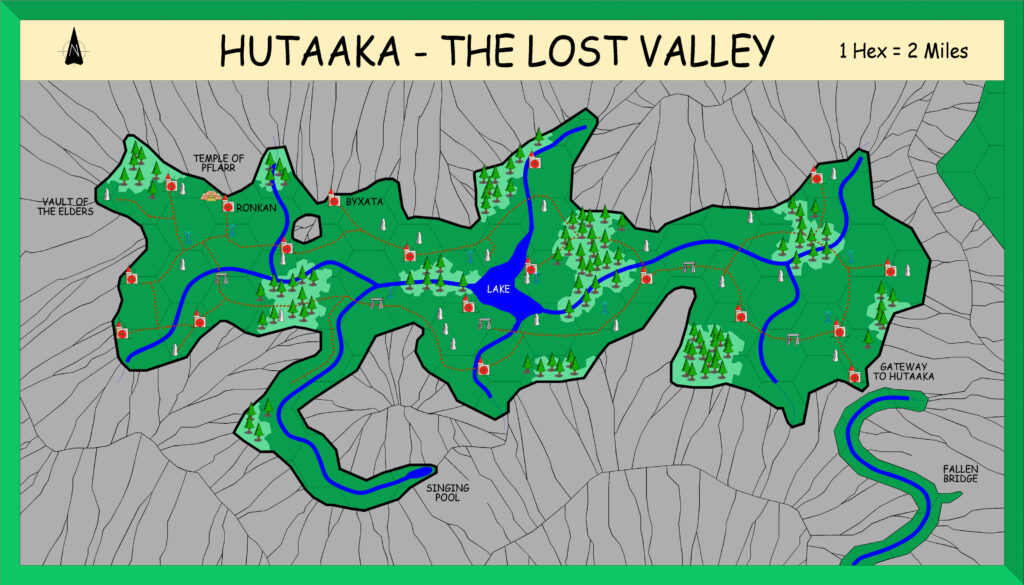
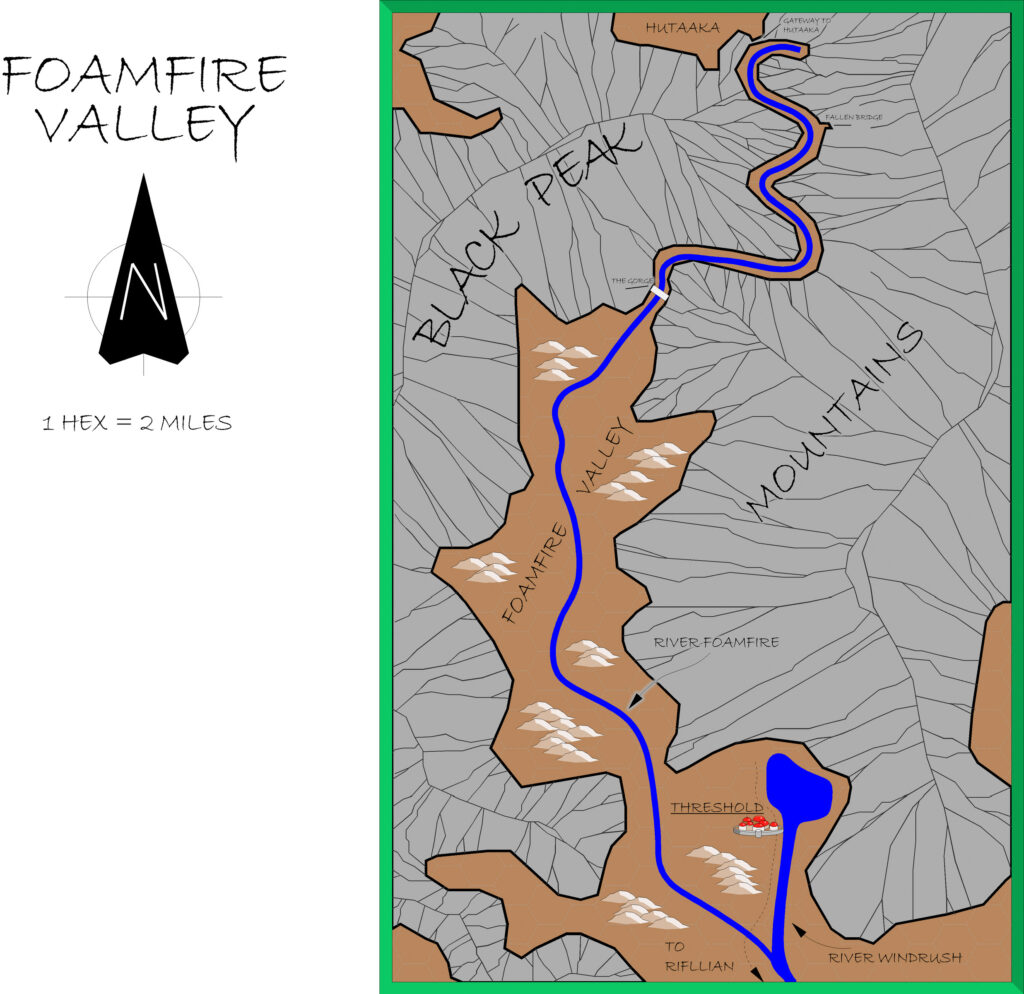
This is a combined version of B10’s pair of 2 mile per hex maps of the Foamfire Valley and the Lost Valley. Not only that, it also folds in the mountains from the Eastern Karameikos map, which have been used to fill out the corners of the map.
Fitting these two valleys together was another huge challenge, because the published maps do not fit together precisely. In the end I chose to join them using the trail to Hutaaka through the mountains as a way to link them up seamlessly, which has worked rather well.
Finally, the large scale has allowed various features from 1983’s Basic and Expert Rules Set to be added to the map around Threshold.
Chronological Map (February 2022)
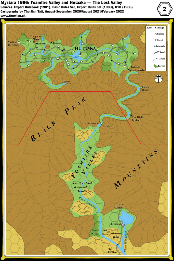
This map is part of the Mystara 1986 series of chronological maps. It is an updated map, incorporating all available sources and made internally consistent with other maps in its series. But it only uses sources published in or before 1986.
For more information, see Appendix C: Cartographic Chronology.
Sources
- Mystara 1985
- B10 Night’s Dark Terror (1986) (PDF at DriveThruRPG)
Revisions
For detailed notes, see the posts for each individual source map at the links above.
- Caves in the nearby hills from the solo adventure. (Basic Rules Set 1983 Players Manual p. 3)
- Castle Mistamere can now be placed 3 miles north of Threshold. (Basic Rules Set 1983 Dungeon Masters Rulebook p. 4)
- The Black Woods, 5 miles west of town, have also been marked. (Expert Rules Set 1983)
References
- Let’s Map Mystara 1986 — the original project thread for this map
- Let’s Map Mystara Together discussion thread at The Piazza (link leads to this map’s post)
- Karameikos at the Vaults of Pandius
Thanks to:
Paul Dupuis, Robin.

