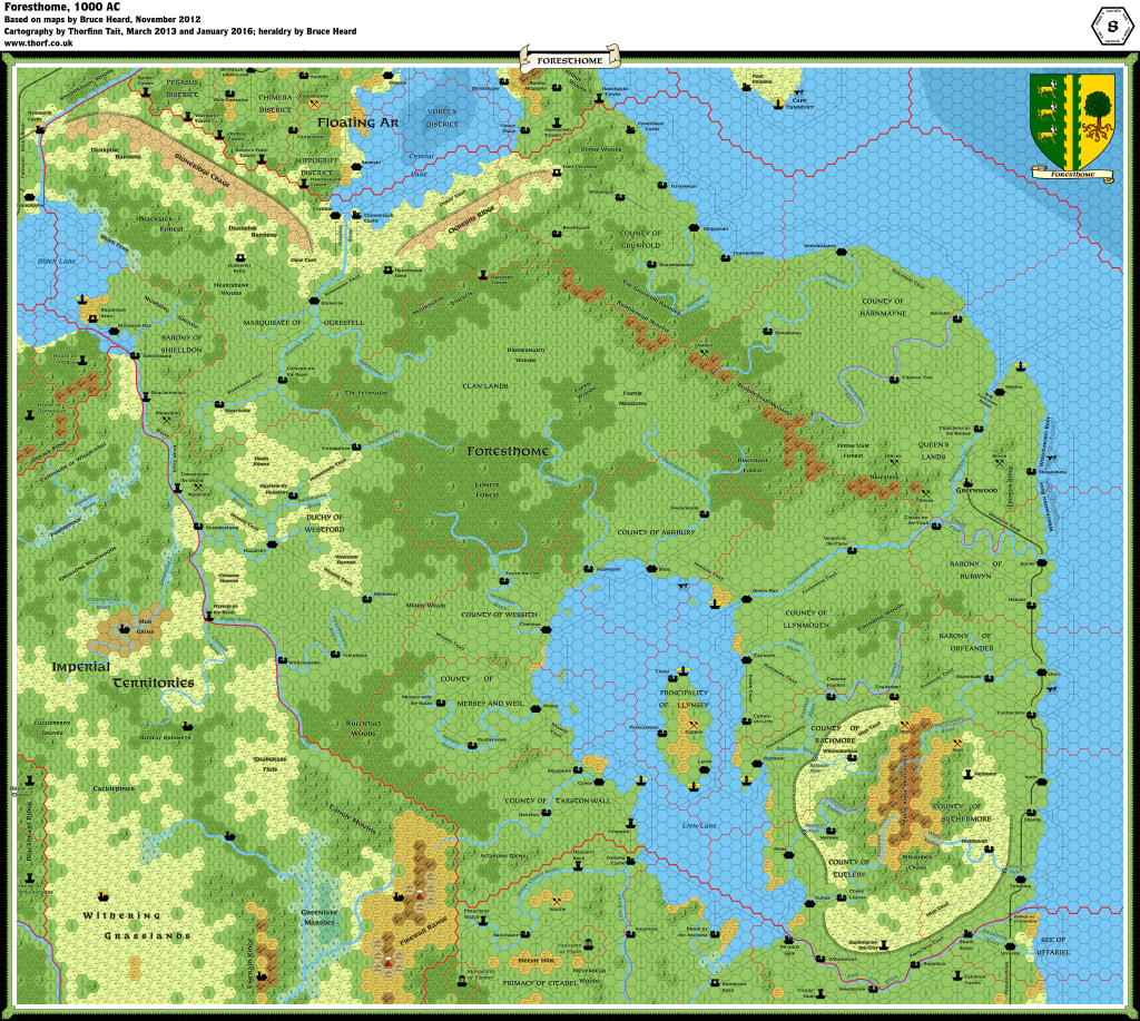
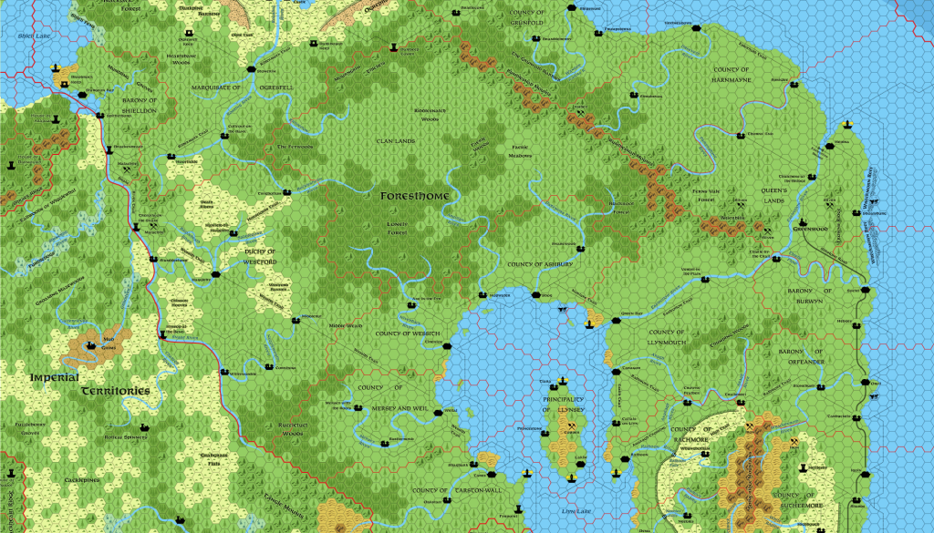
Foresthome, 8 miles per hex
It is perhaps the largest realm of Alphatia. One might think it a single block of similar people, but that would be incorrect. […]The United Kingdom of Foresthome encompasses a total of eighteen dominions, including the Queen’s Lands. The nation stretches more than 900 miles from its southeastern edge to the Fris River in the northwest. Provinces defined their borders from a combination of natural barriers, non-human clan demographics, and spheres of political influence radiating from key cities.
from Bruce Heard’s Eyes in the Woods: Foresthome
Map (updated 12th January 2016)
 Updated map of the Alphatian Kingdom of Foresthome, 8 miles per hex
Sources
- Foresthome, 8 mile per hex map by Bruce Heard
- Dawn of the Emperors (1989)
- The Empire of Alphatia 24 mile per hex poster map
Notes
As with all his Alphatia 8 mile per hex maps, Bruce Heard added a great deal of detail and character to the region when converting from 24 miles per hex. The Atlas considers Bruce’s map to be the definitive source for Foresthome.Foresthome has one instance of lake bifurcation, with the Llyn Lake draining into the Sea of Esterhold by two separate rivers — both of which also bifurcate before reaching the coast. Although this phenomenon is rare, it does occur in the real world.


2 February 2016 @ 6:01 am
Hi Thorf, you forgot the name of the Wall river in Tarston-Wall.
2 February 2016 @ 6:04 am
… and you might also consider this comment from Bruce
“Note from the Author: the trail names probably should be edited on the map. The Rathmore Trail should continue across the Anaragh toward Rathoon, while the one connecting with Taragor should be renamed accordingly.”
(http://bruce-heard.blogspot.de/2012/11/Foresthome04.html)