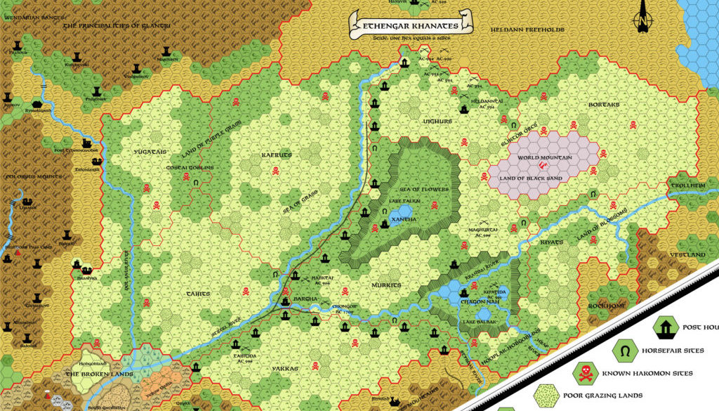
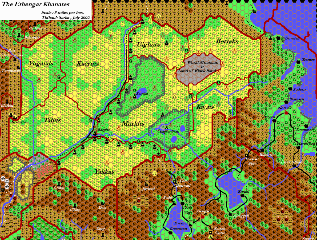
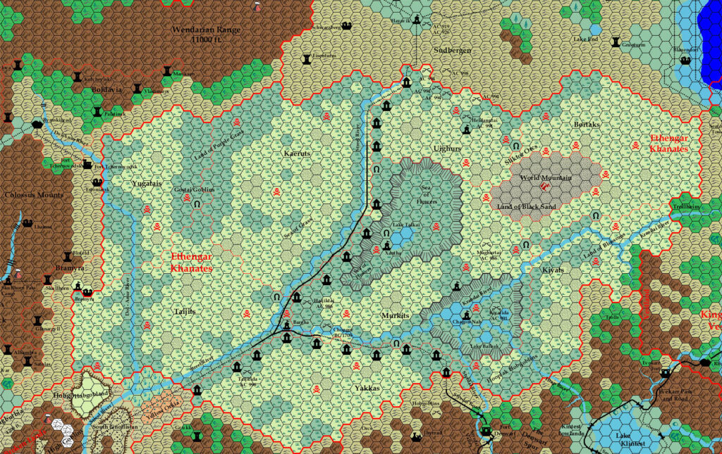
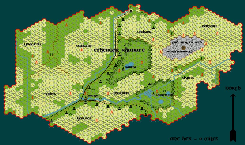
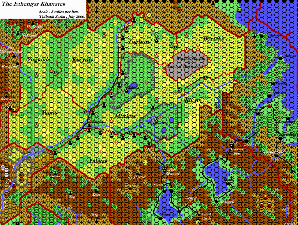
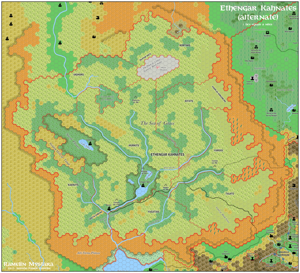
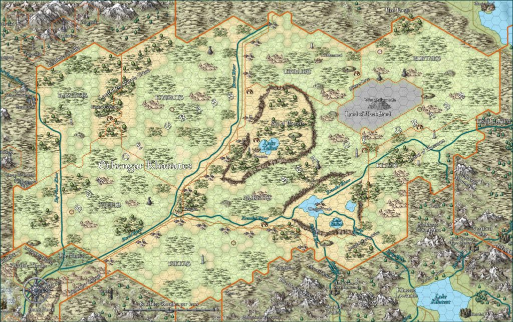
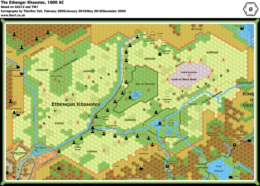
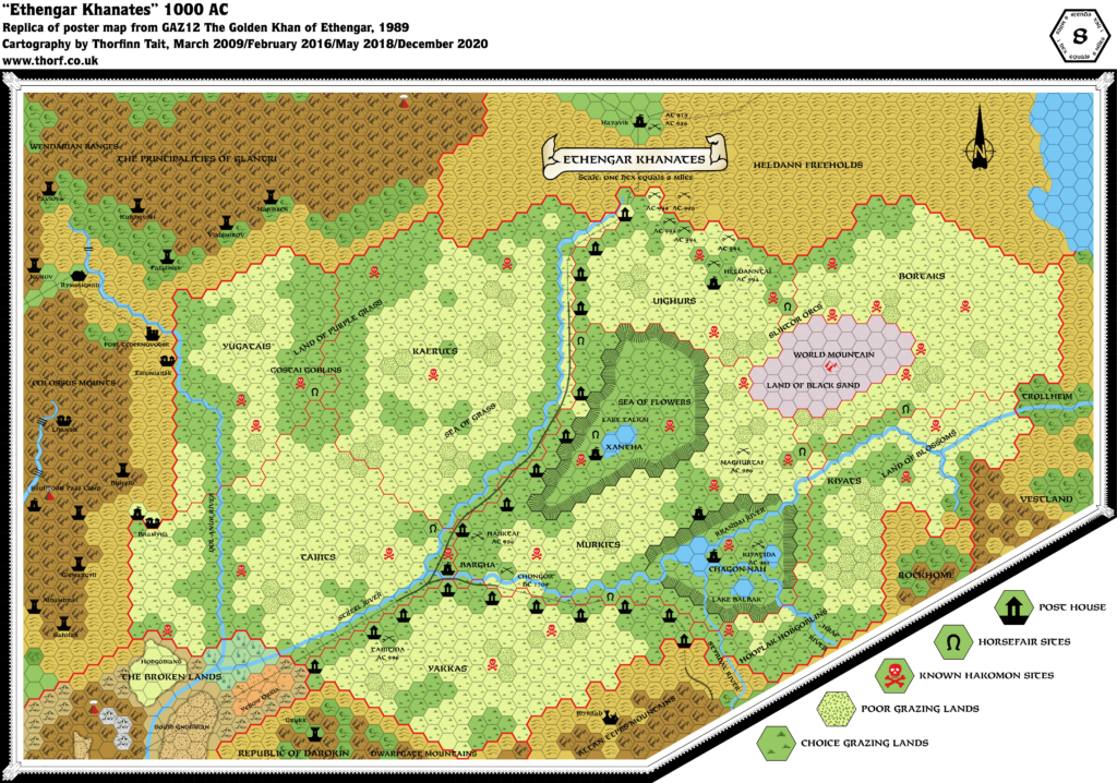
GAZ12 Ethengar, 8 miles per hex
GAZ12’s map has seen much criticism for the perception of its steppes as being far too small for the culture. This of course originated in the X1/Expert Set map. It introduced two new variations of the grasslands hex to make the blanket grasslands of the Khanates more interesting. It also introduced the Post House symbol, which was often repurposed in later fan-created maps.
This map is significant also for the large chunk of Heldann it reveals, although unfortunately there was very little detail to speak of.
Replica Map (December 2020)
Sources
- GAZ12 The Golden Khan of Ethengar (1989) (PDF at DriveThruRPG)
- Poster map (Cartography by Dennis Kauth, Dave Sutherland, and Frey Graphics)
Chronological Analysis
This is Map 110. It was published in June 1989. The updated version of this map is Ethengar, 8 miles per hex. See also Appendix C for annual chronological snapshots of the area. For the full context of this map in Mystara’s publication history, see the upcoming Let’s Map Mystara 1989.
The following lists are from the Let’s Map Mystara project. Additions are new features, introduced in this map. Revisions are changes to previously-introduced features. Hex Art & Fonts track design elements. Finally, Textual Additions are potential features found in the related text. In most cases, the Atlas adopts these textual additions into updated and chronological maps.
Coming soon

