GAZ4 Safari Island
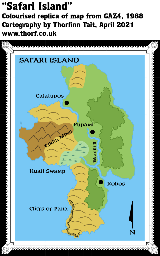
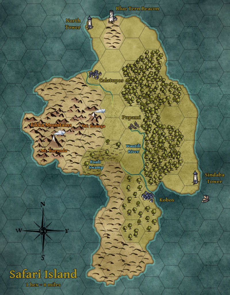
In addition to the poster map showing Ierendi at 8 miles per hex, GAZ4 included a couple of detailed maps of individual islands. One of these was Safari Island, whose detailed map appeared twice in the pages of the Gazetteer.
The map is a black and white line-art map, eschewing the hex format for a cleaner, simpler style. Although it’s not a great deal more detailed than the full hex map, it does provide a few extra details for the island.
Replica Map (April 2021)

Sources
- GAZ4 The Kingdom of Ierendi (1987) (PDF at DriveThruRPG)
- Page 34 map/page 45 map (identical)
Chronological Analysis
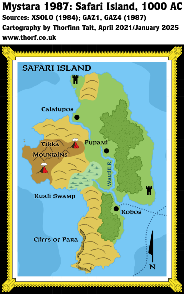
This is Map 75. It was published in 1987. The updated version of this map has not yet been released. See also Appendix C for annual chronological snapshots of the area. For the full context of this map in Mystara’s publication history, see the upcoming Let’s Map Mystara 1987.
The following lists are from the Let’s Map Mystara project. Additions are new features, introduced in this map. Revisions are changes to previously-introduced features. Hex Art & Fonts track design elements. Finally, Textual Additions are potential features found in the related text. In most cases, the Atlas adopts these textual additions into updated and chronological maps.
Additions
- Rivers — The Wautili River is named here for the first time.
- Terrain — The Cliffs of Para are new. The Tikka Mountains are on the 8 mile per hex map, but gain a name here. The same is true of the Kuali Swamp.
Revisions
- Rivers — The Wautili River’s course has been adjusted about an 8 mile hex to the east, and it now flows southwest around Pupami before proceeding due south. It also originates a little further south. Part of the 8 mile per hex map’s course has been left intact, now a tributary. Finally, there is another river flowing northwest to Calatupos.
- Terrain — The volcanoes of the 8 mile per hex map are not marked here, likely an oversight.
Hex Art & Fonts
- Art — Black and white line art.
- Font — Feinen Bold throughout.
Textual Additions (GAZ4, 1987)
- Beaches — GAZ4 page 37b: “Many come simply to relax on the island’s beaches”. Clearly the island has some unmarked beaches. These could be marked on the map, likely at spots on the eastern coast, and possibly around Calatupos. GAZ4 page 7c mentions that most islands have beaches on the eastern and southern coasts. Page 7a also mentions “narrow sandy beaches” beneath the northern and western coastal slopes, so perhaps there are some at the foot of the Cliffs of Para, too.
- Settlements — Kobos is “the capital and principal settlement of Safari Island.” It has a population of 800. The other settlements are “Calatupos, population 349, on the northwest coast, and Pupami, population 178, in the interior along the Wautili River.” These three villages are the main settlements, comprising 1,327 of the listed island population of 5,375. “The rest of the island’s population is scattered in small fishing settlements along the coast and in the communities supporting the island’s wilderness and adventure park facilities.” (All GAZ4 page 37ab)
- Terrain — “Ninety percent of Safari Island’s interior has been set aside as a government-supervised wilderness park.” (GAZ4 page 37c)


