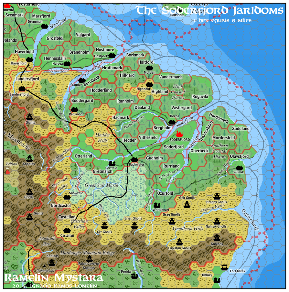
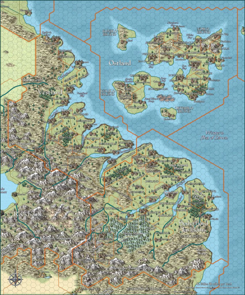
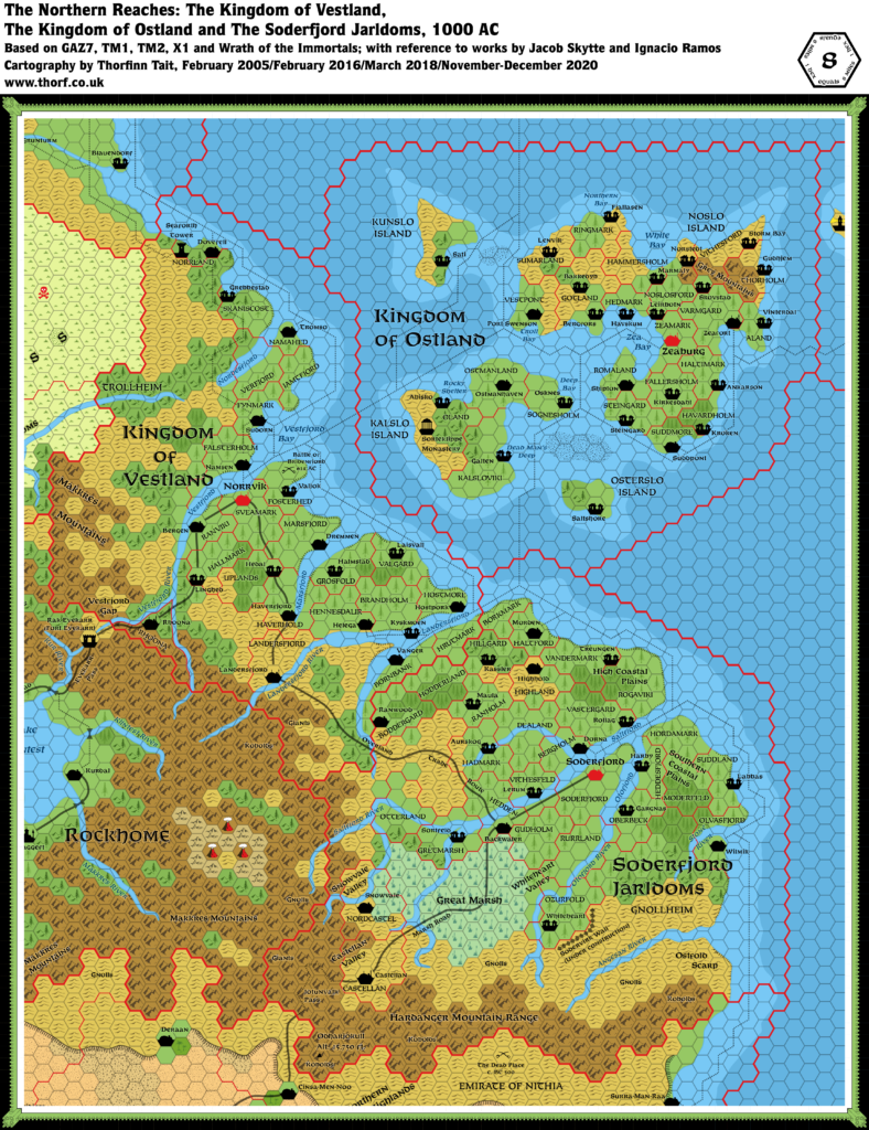
GAZ7 Soderfjord, 8 miles per hex Overview
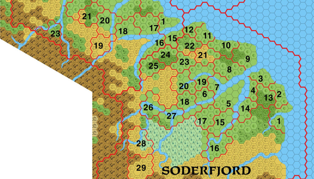
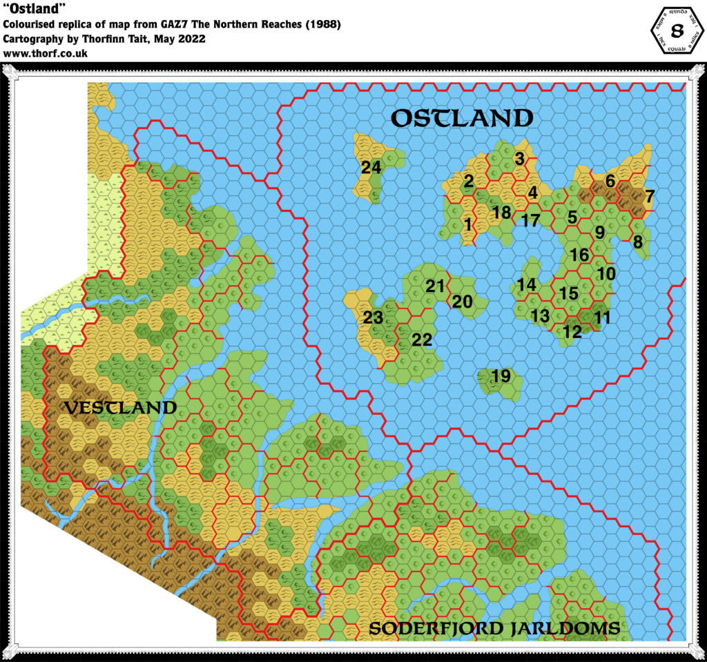
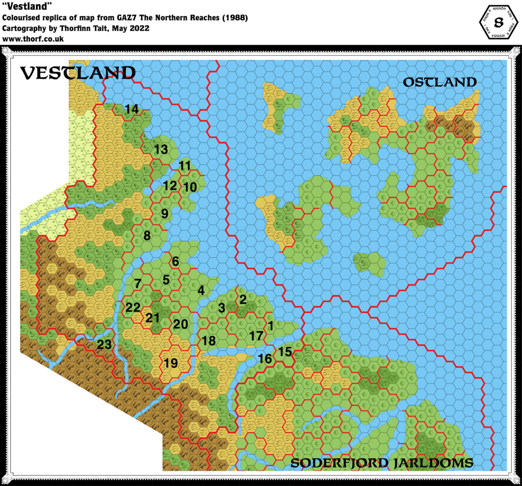
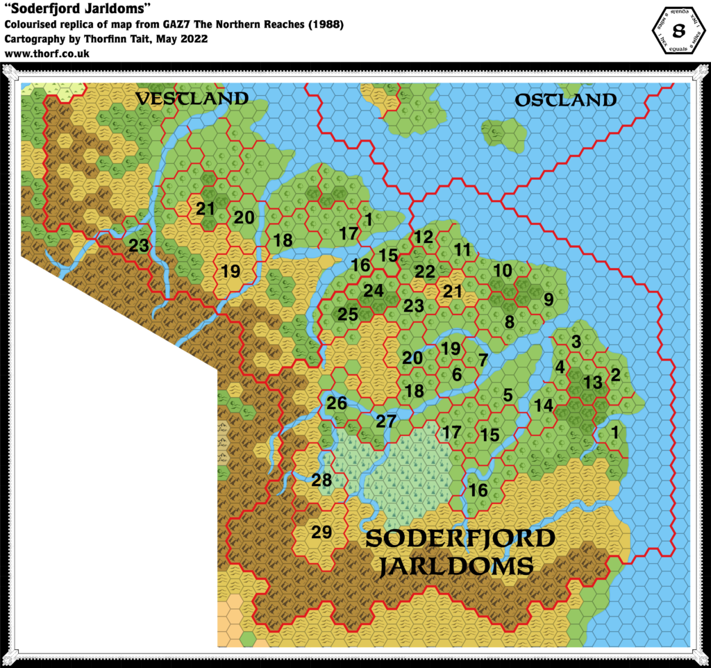
As noted in the post for the full overview map, this was an excerpt of that map with added dominion numbers. This third and final map covered the dominions of Soderfjord. As with Ostland and Vestland, the dominions are numbered on the map, corresponding to a list in the text of GAZ7.
This map had one peculiar feature in that some of the numbers for Vestland were also included. While this could have caused some initial confusion, the borders of the countries are clearly marked, so it was a minor issue.
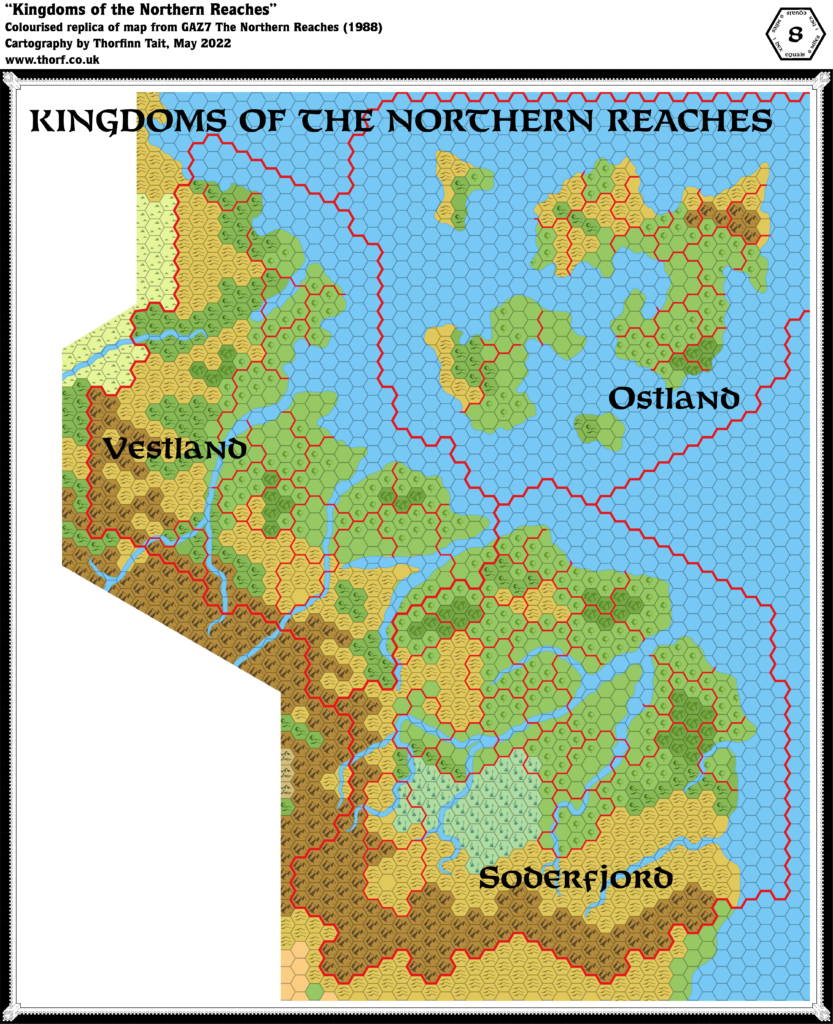
Replica Map (May 2022)
Sources
- GAZ7 The Northern Reaches (1988) (PDF at DriveThruRPG)
- Soderfjord Jarldoms, DM Book page 18 map (Cartography by Dave Sutherland, Dennis Kauth)
Chronological Analysis
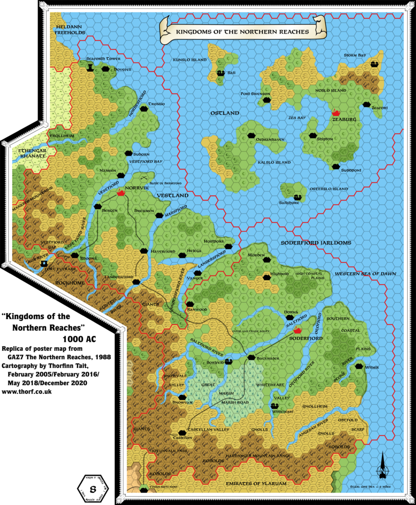
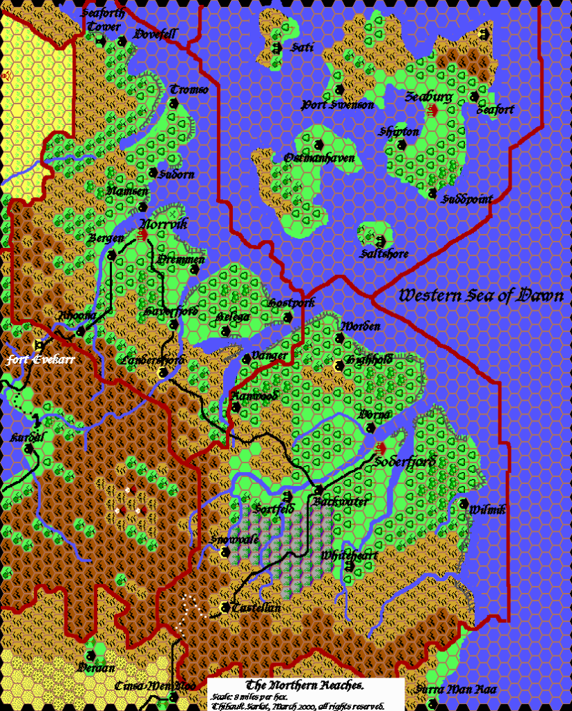
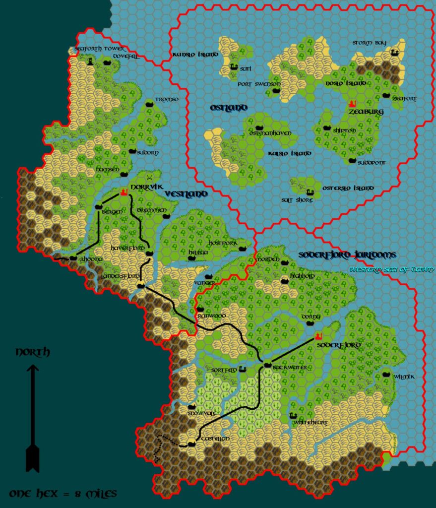
This is Map 96. It was published in July 1988. The updated version of this map is Northern Reaches, 8 miles per hex. See also Appendix C for annual chronological snapshots of the area. For the full context of this map in Mystara’s publication history, see Let’s Map Mystara 1988.
The following lists are from the Let’s Map Mystara project. Additions are new features, introduced in this map. Revisions are changes to previously-introduced features. Hex Art & Fonts track design elements. Finally, Textual Additions are potential features found in the related text. In most cases, the Atlas adopts these textual additions into updated and chronological maps.
Additions
- Dominions — The numbers correspond to a key in the text of GAZ7. This map therefore enables the identification of Soderfjord’s individual jarldoms for the first time.

