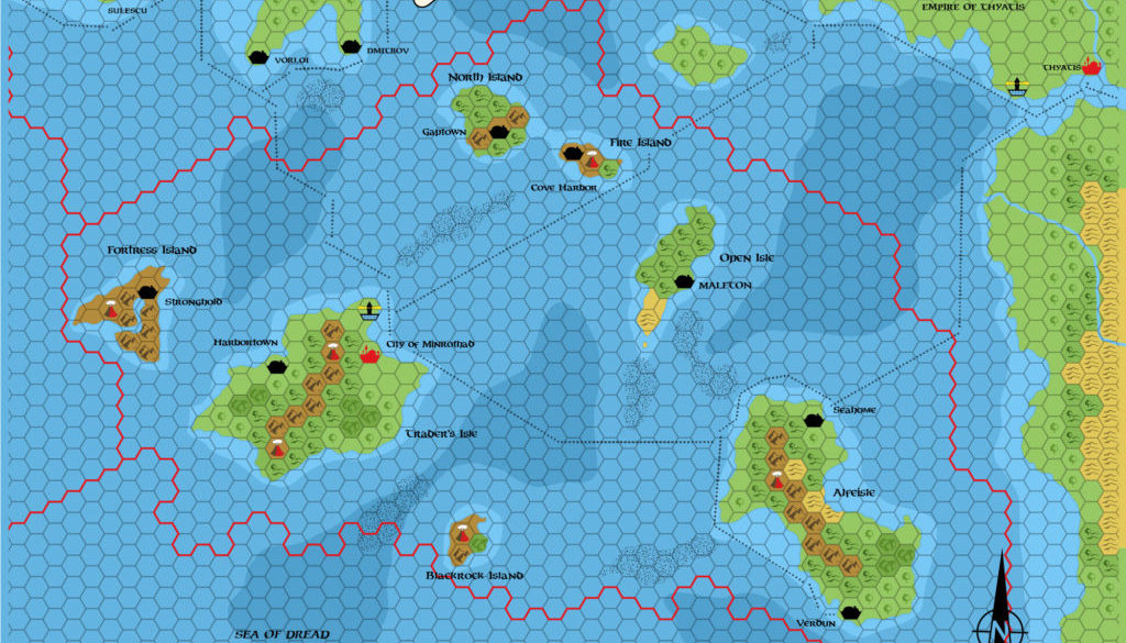
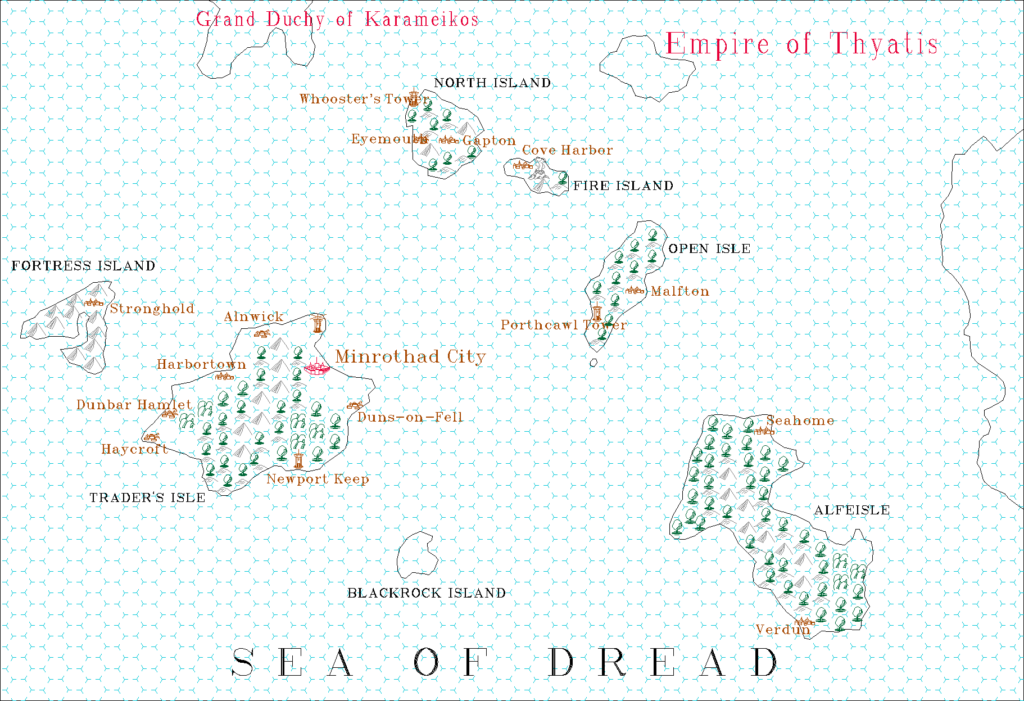
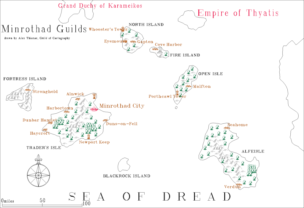
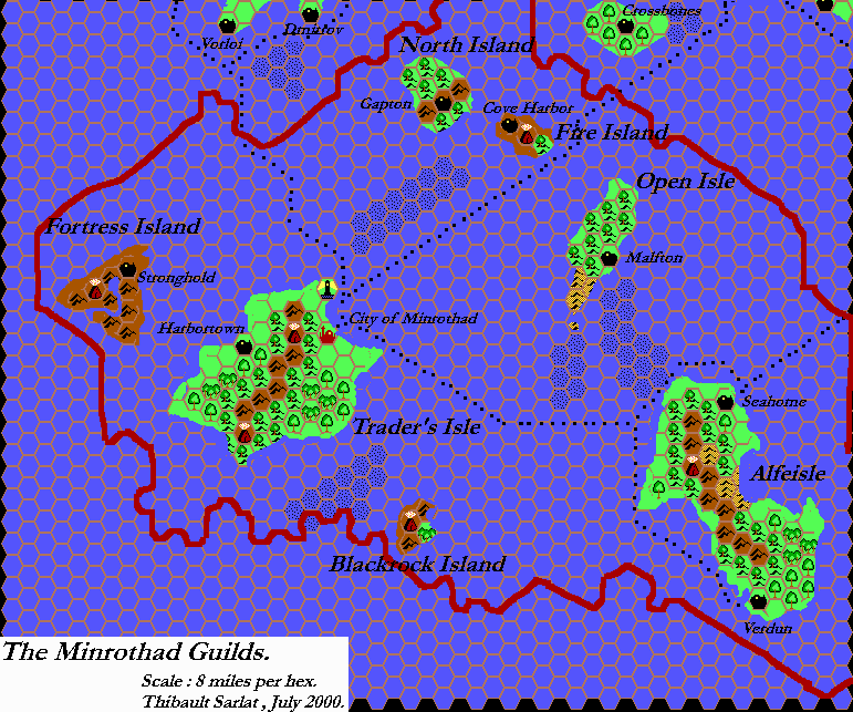
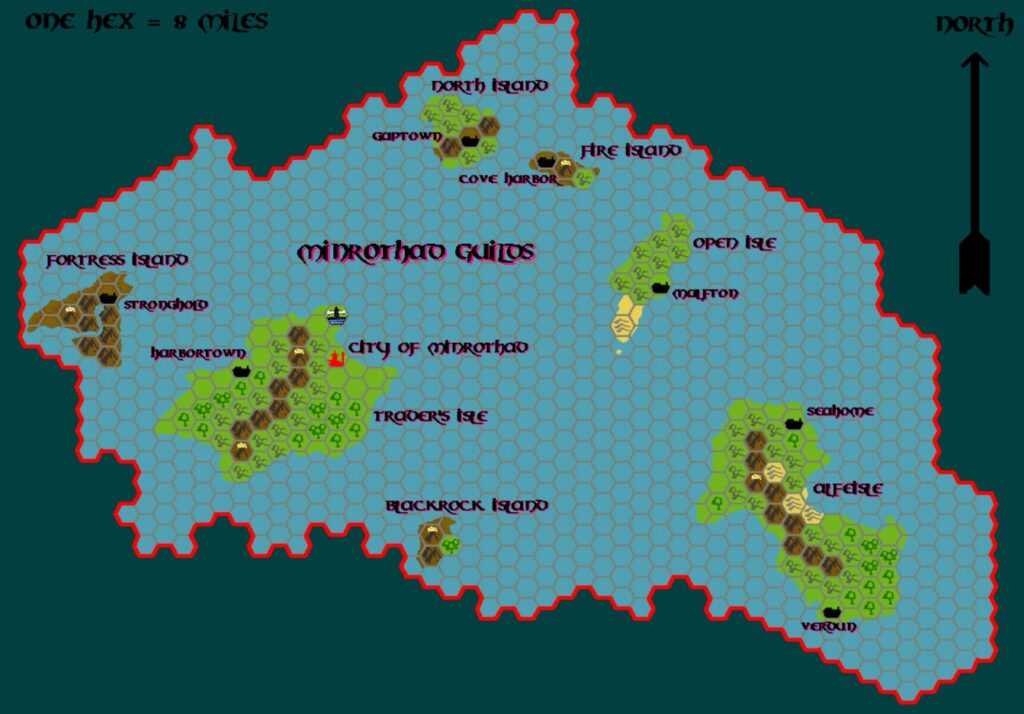
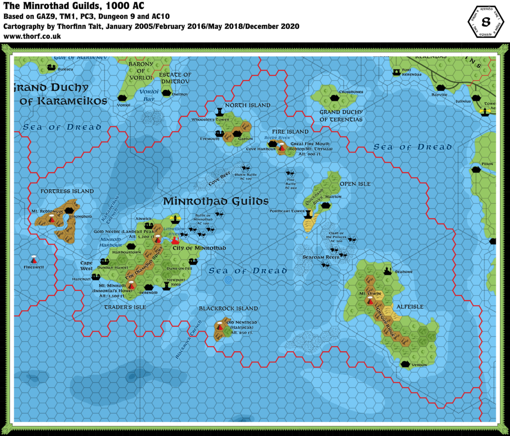
GAZ9 Minrothad, 8 miles per hex
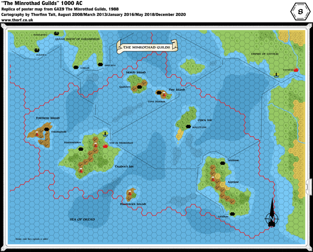
One of the most minimalistic maps to appear in the Gazetteer series, GAZ9’s Minrothad map nonetheless has a frugal charm all of its own. The original map also had the peculiarity of marking its deeper waters with a shade of pink.
Replica Map (December 2020)
Sources
- GAZ9 The Minrothad Guilds (1988) (PDF at DriveThruRPG)
- Poster map (Cartography by Dave Sutherland, Dennis Kauth)
Chronological Analysis
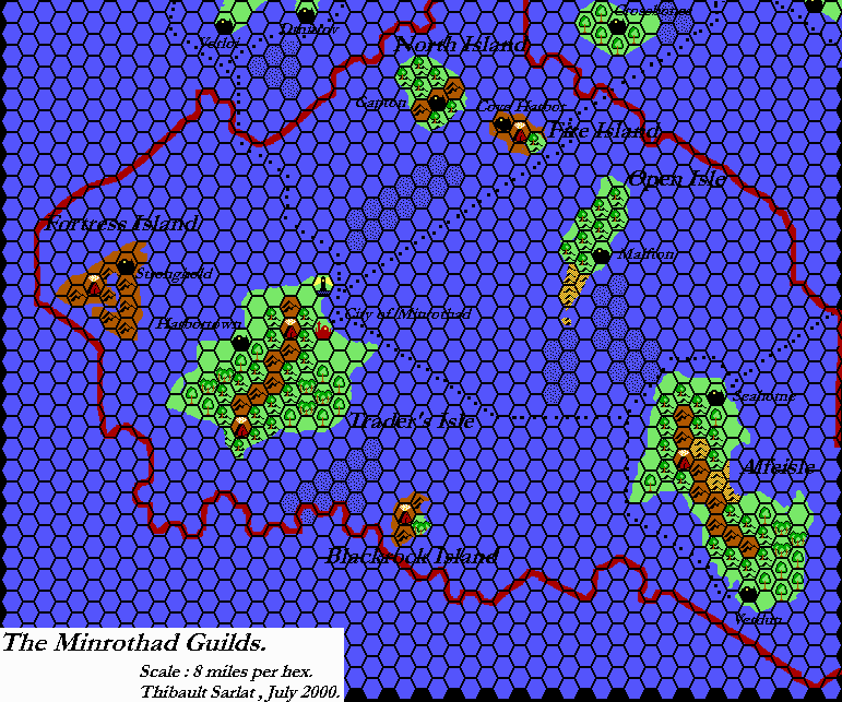
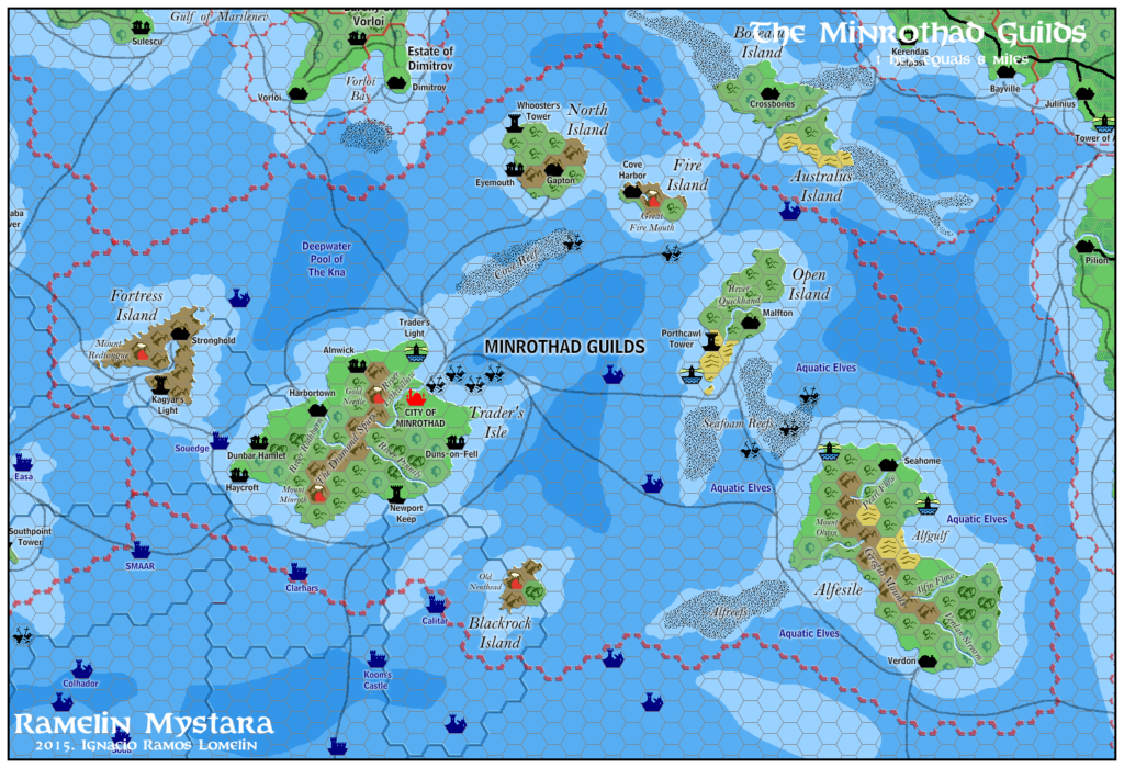
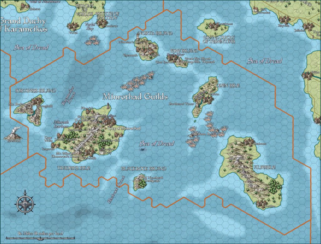
This is Map 99. It was published in November 1988. The updated version of this map is Minrothad, 8 miles per hex. See also Appendix C for annual chronological snapshots of the area. For the full context of this map in Mystara’s publication history, see Let’s Map Mystara 1988.
The following lists are from the Let’s Map Mystara project. Additions are new features, introduced in this map. Revisions are changes to previously-introduced features. Hex Art & Fonts track design elements. Finally, Textual Additions are potential features found in the related text. In most cases, the Atlas adopts these textual additions into updated and chronological maps.
Under Construction! Please check back again soon for updates.
Additions
- Lakes —
- Rivers —
- Settlements —
- Terrain —
Revisions
- Seas —
- Spellings —
Hex Art & Fonts
- Symbols — Gazetteer series standard.
- Fonts — Feinen throughout.

Textual Additions (GAZ9)
- Spellings —

