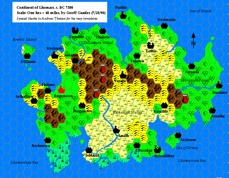
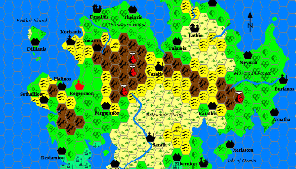
Geoff’s Lhomarr, 48 miles per hex
Lhomarr marked an important change in Geoff’s mapping. Two months before, in May 1998, Andrew Theisen had debuted his new hex mapping system, and from this point on Geoff switched from his trademark hand-drawn maps to Andrew’s new system. It’s easy to see the attraction in digital maps — especially considering how labour-intensive hand-drawn maps are to make.
The map itself is interesting for a number of reasons. It’s the Outer World precursor to Geoff’s original Hollow World nation of Selhomarr, but unlike Selhomarr, Lhomarr occupied an entirely new landmass that doesn’t appear on any official maps. Of course, this is due to its Atlantis-inspired history. But the end result is a new landmass on Mystara’s surface. In fact, Geoff’s write-up of Lhomarr places an entire chain of islands in ancient Mystara.
Finally, the scale is 48 miles per hex — an incredibly rare scale that only ever appeared on a single officially published map, and has barely appeared on any fan-made maps either.
Fan-made Map by Geoff Gander (July 1998)

This is an original map created by one of Mystara’s excellent fan cartographers. For more information on the cartographer, including a gallery of all their maps, see also Appendix M: Mappers of Mystara.
Sources
- None (it’s entirely Geoff’s original work)
Secondary Sources
- Lhomarr: The Lands, Its People and Their History from the MML posted 27 April 1998 (Vaults of Pandius)
References
- All of Geoff’s maps at the Atlas of Mystara
- Geoff’s entry in Appendix M: Mappers of Mystara
- Geoff’s author page at the Vaults of Pandius
Chronological Analysis
This is a fan-made map. It was published in July 1998. The updated Atlas version of this map is not yet available. See also Appendix C for annual chronological snapshots of the area. For the full context of this map in Mystara’s publication history, see the upcoming Let’s Map Mystara 1998. (Please note that it may be some time before the project reaches this point.)
The following lists are from the Let’s Map Mystara project. Additions are new features, introduced in this map. Revisions are changes to previously-introduced features. Hex Art & Fonts track design elements. Finally, Textual Additions are potential features found in the related text. In most cases, the Atlas adopts these textual additions into updated and chronological maps.
Coming Soon


