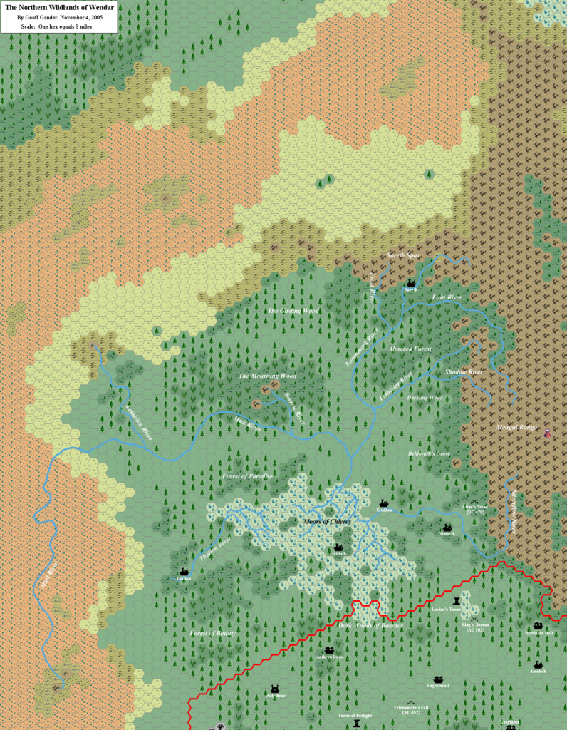
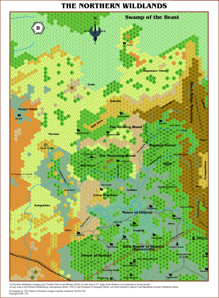
Geoff’s Northern Wildlands, 8 miles per hex
In the wave of activity on the Mystara Message Board in mid- to late-2005, the community came together to collaborate on detailing the nation of Wendar. Geoff was one of the key contributors in this project, coming up with many settlement names and descriptions. His work on the area naturally led to thinking about the area northwest of Wendar, and specifically why Wendar had not expanded into what looked like a natural extension of its territory.
This map is the result. Geoff conceived of a dangerous wilderness land of adventure, into which the Wendarian people had sent both expeditions and settlers — all ultimately unsuccessful. There is an element of tragedy to this, too, which lends gravity to Wendar’s already rather troubled history.
This would be the last of Geoff’s amazing run of solo projects to produce a large overland map — or rather, the last in which he did it all by himself. By this time, he had been working on major maps almost every year since 1996. After this, Geoff’s mapping shifted more towards collaborative projects, with the occasional small map.
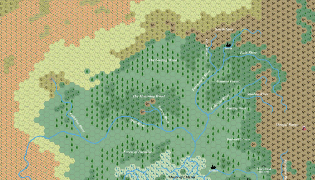
Fan-made Map by Geoff Gander (November 2005)

This is an original map created by one of Mystara’s excellent fan cartographers. For more information on the cartographer, including a gallery of all their maps, see also Appendix M: Mappers of Mystara.
Sources
- Original work
Fan Sources
- Atlas of Mystara (2005-present)
- Wendar: A Mini Gazetteer from the MMB posted 16 August 2005 (Vaults of Pandius)
- Timeline of the Wendarian Northern Wildlands from the MMB posted 9 September 2005 (Vaults of Pandius)
References
- All of Geoff’s maps at the Atlas of Mystara
- Geoff’s entry in Appendix M: Mappers of Mystara
- Geoff’s author page at the Vaults of Pandius
Chronological Analysis
This is a fan-made map. It was published in November 2005. The updated Atlas version of this map is not yet available. See also Appendix C for annual chronological snapshots of the area. For the full context of this map in Mystara’s publication history, see the upcoming Let’s Map Mystara 2005. (Please note that it may be some time before the project reaches this point.)
The following lists are from the Let’s Map Mystara project. Additions are new features, introduced in this map. Revisions are changes to previously-introduced features. Hex Art & Fonts track design elements. Finally, Textual Additions are potential features found in the related text. In most cases, the Atlas adopts these textual additions into updated and chronological maps.
Coming Soon


