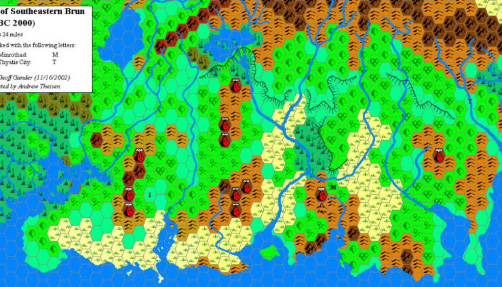
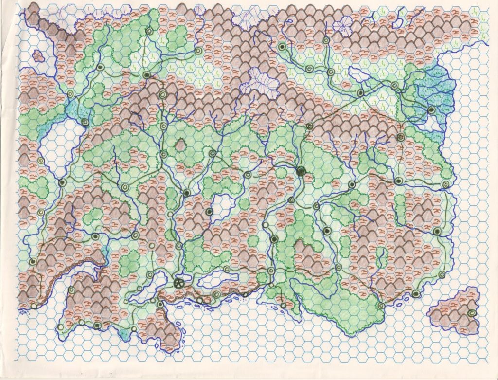
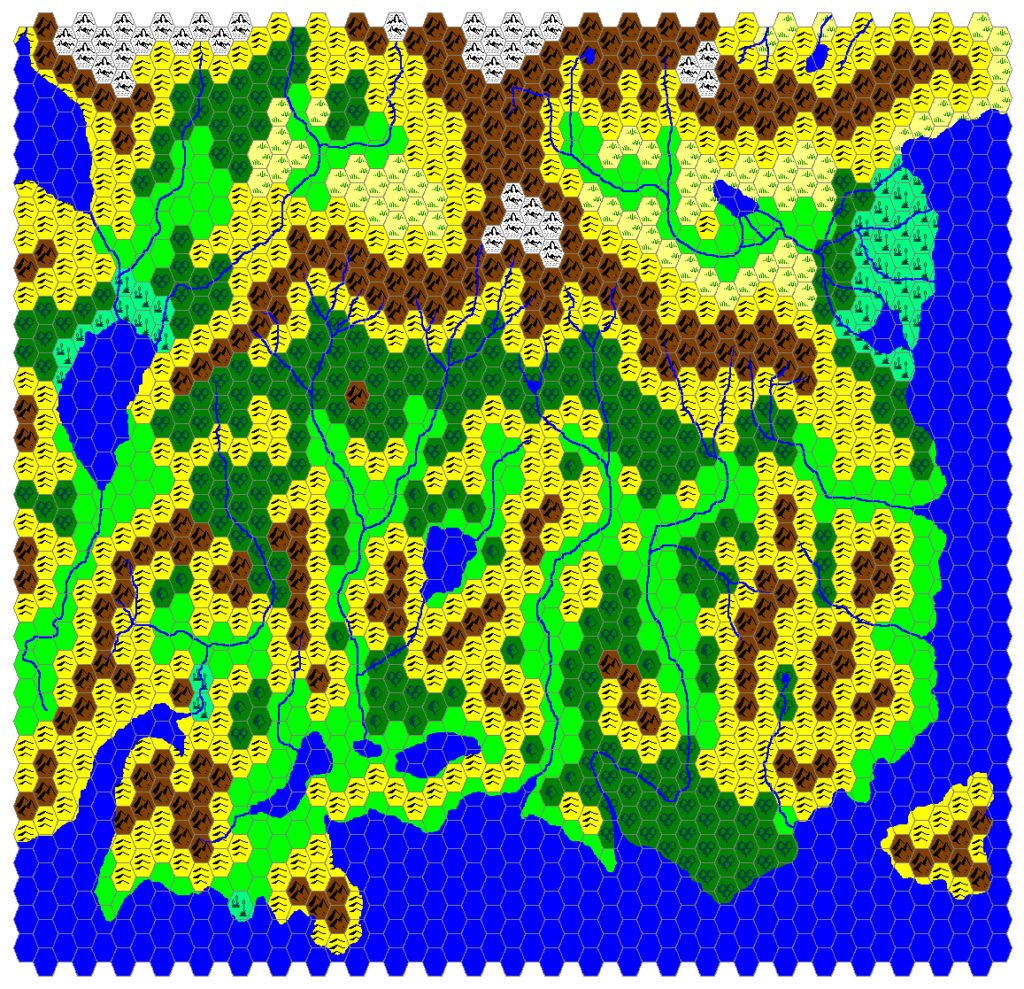
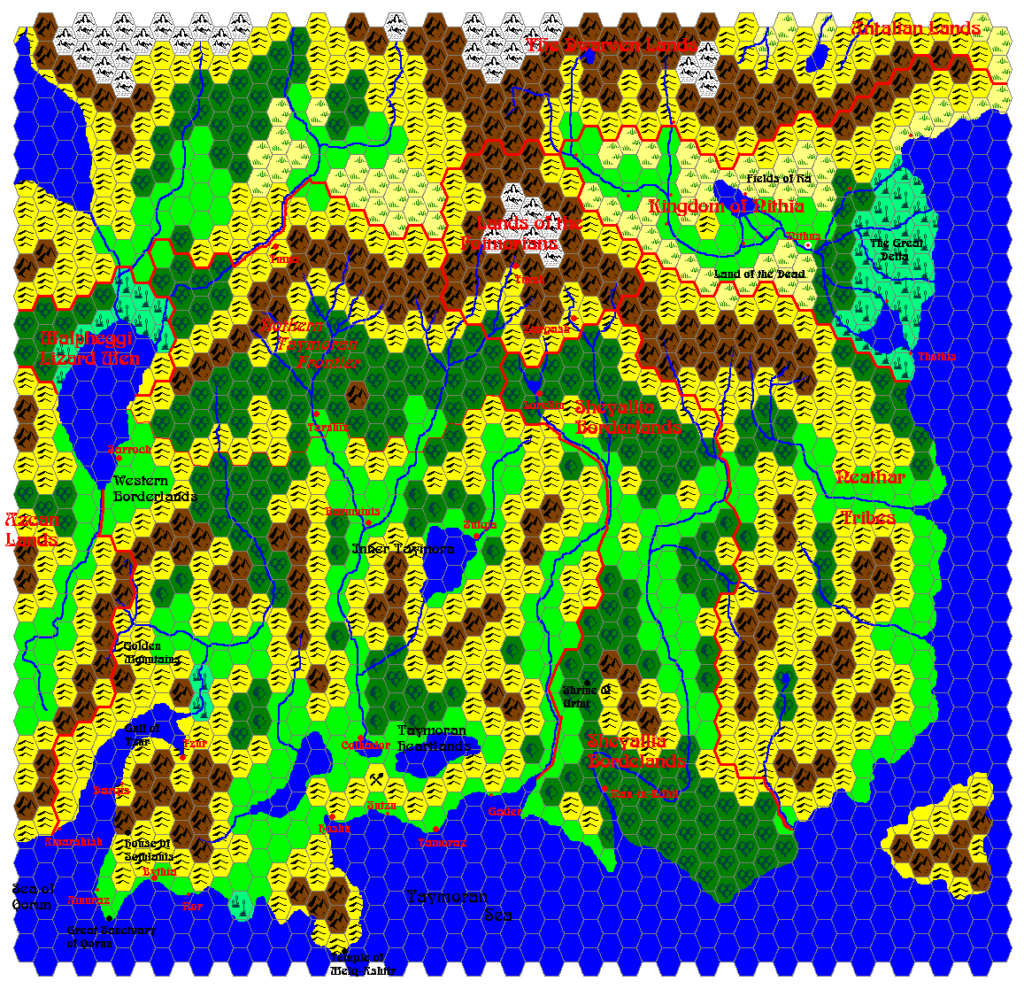
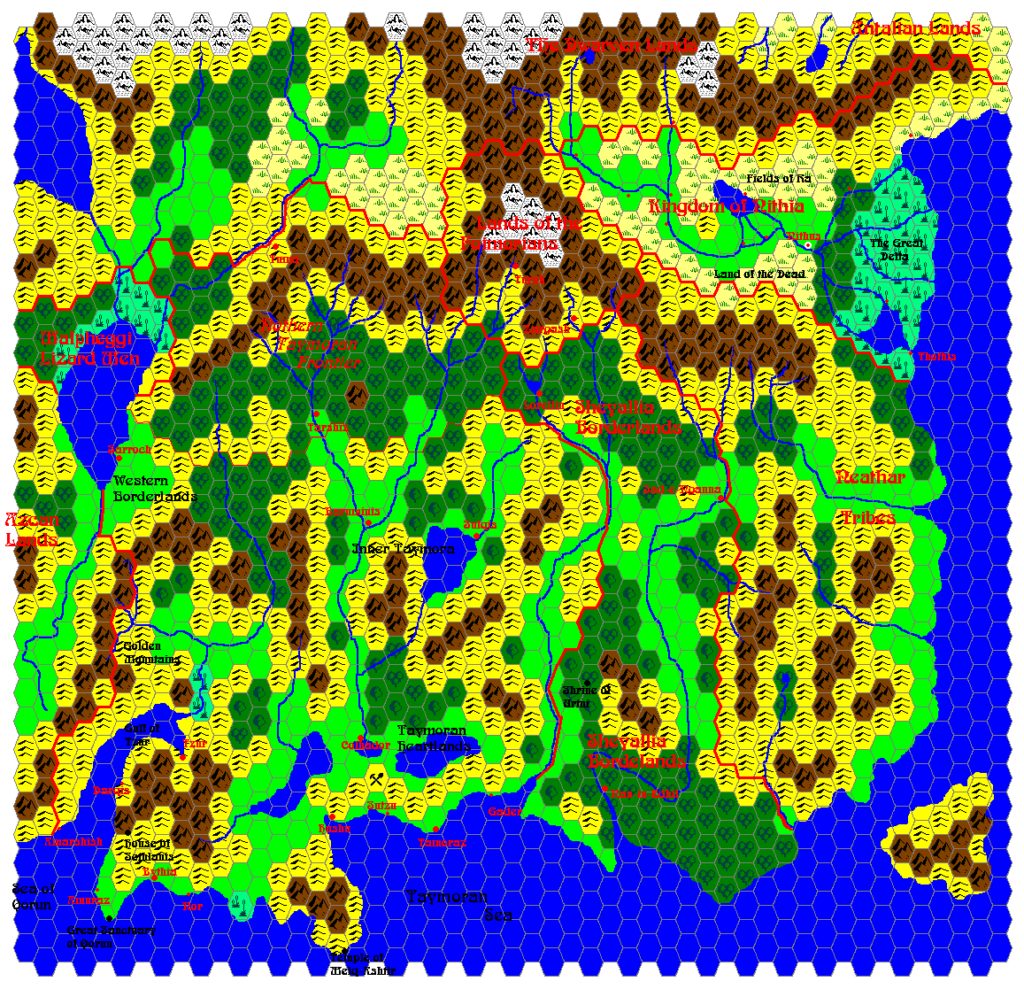
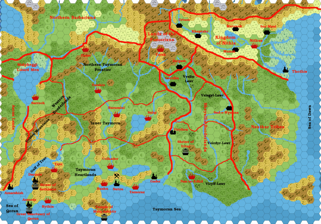
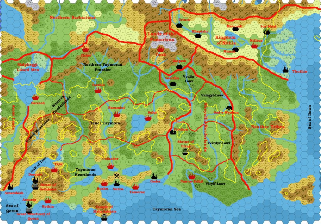
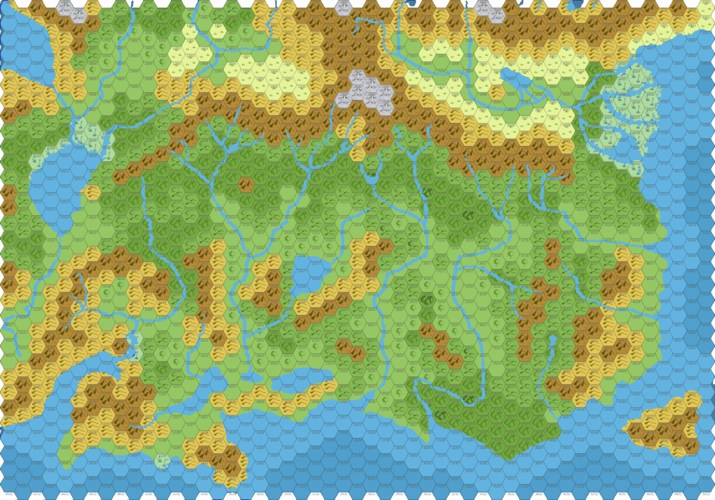
Geoff’s Southeastern Brun 2000 BC, 24 miles per hex
Geoff’s take on ancient Taymora — the Known World of 2000 BC — was the second such attempt to map what would later become the submerged lands of the Sea of Dread; James Mishler’s map had appeared three years earlier. Geoff decided to take a slightly different tack from James, keeping many of the modern landforms largely intact: the plateaus show where the post-cataclysm coastline will eventually be, and Geoff’s terrain is slightly more similar to modern terrain in the island nations.
John Calvin went on to incorporate much of Geoff’s map into his vision of the area in Mystara 2300 BC, starting some seven years later.
Fan-made Map by Geoff Gander (November 2002)
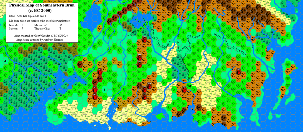
This is an original map created by one of Mystara’s excellent fan cartographers. For more information on the cartographer, including a gallery of all their maps, see also Appendix M: Mappers of Mystara.
Sources
- PC3 The Sea People (1990) (PDF at DriveThruRPG)
References
- All of Geoff’s maps at the Atlas of Mystara
- Geoff’s entry in Appendix M: Mappers of Mystara
- Geoff’s author page at the Vaults of Pandius
Chronological Analysis
This is a fan-made map. It was published in November 2002. The updated Atlas version of this map is not yet available. See also Appendix C for annual chronological snapshots of the area. For the full context of this map in Mystara’s publication history, see the upcoming Let’s Map Mystara 2002. (Please note that it may be some time before the project reaches this point.)
The following lists are from the Let’s Map Mystara project. Additions are new features, introduced in this map. Revisions are changes to previously-introduced features. Hex Art & Fonts track design elements. Finally, Textual Additions are potential features found in the related text. In most cases, the Atlas adopts these textual additions into updated and chronological maps.
Coming Soon

