Hule, 24 miles per hex (1984)
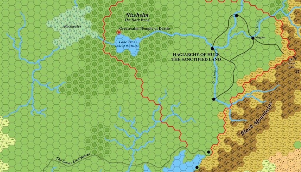
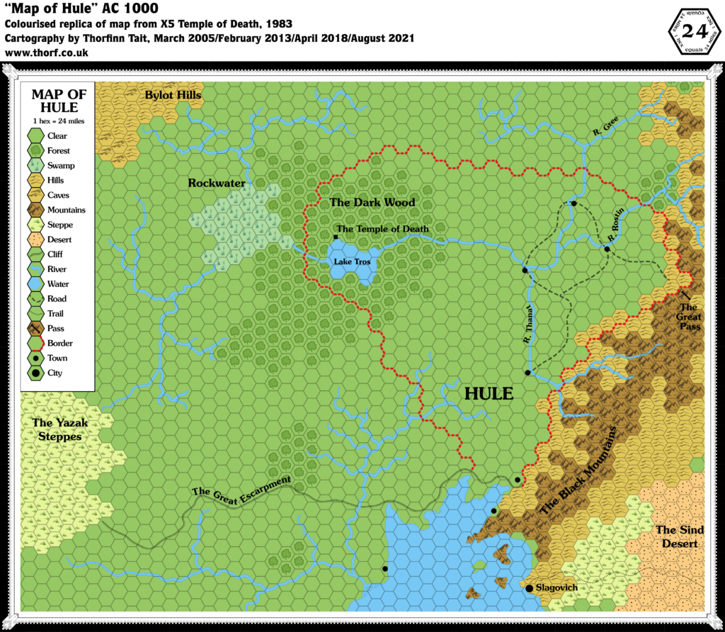
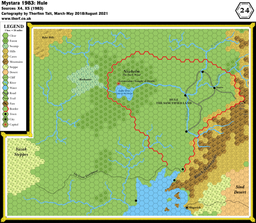
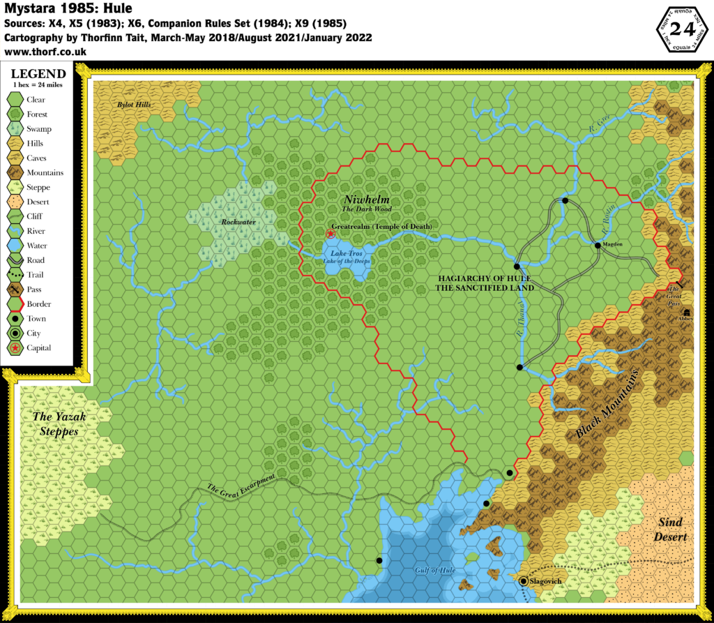
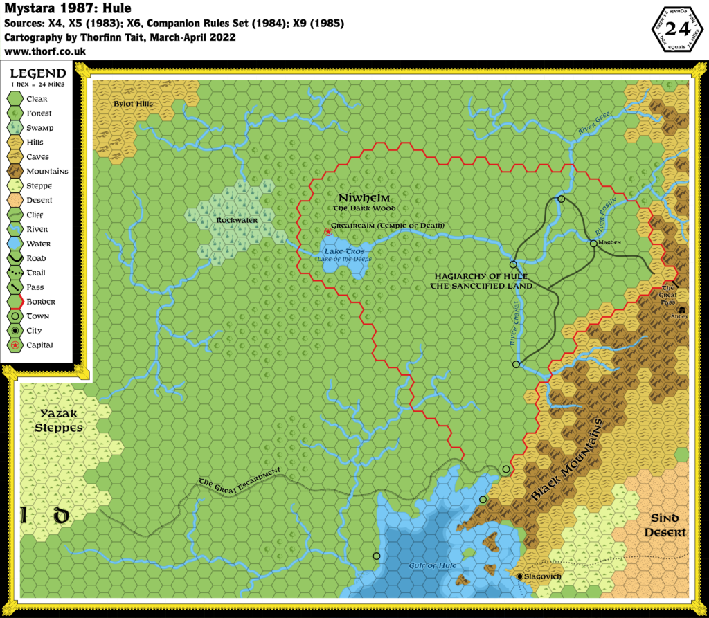
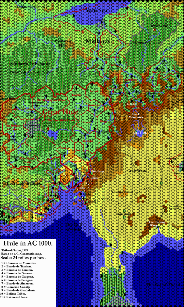
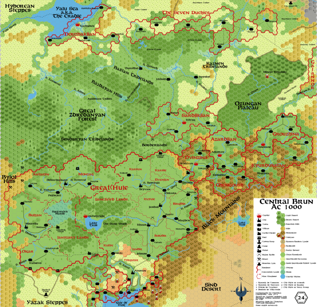
You’d be forgiven for thinking that nothing has changed since 1983. In fact, there were only a few developments in 1984 that affected this map, all stemming from X6’s Wild Lands maps. First, the edge of X6’s sea depth markings have encroached southwest of Slagovich; second, a shipping lane now leads south out of Slagovich. Finally, the coast near Slagovich has been tweaked slightly.
Chronological Map (January 2022)
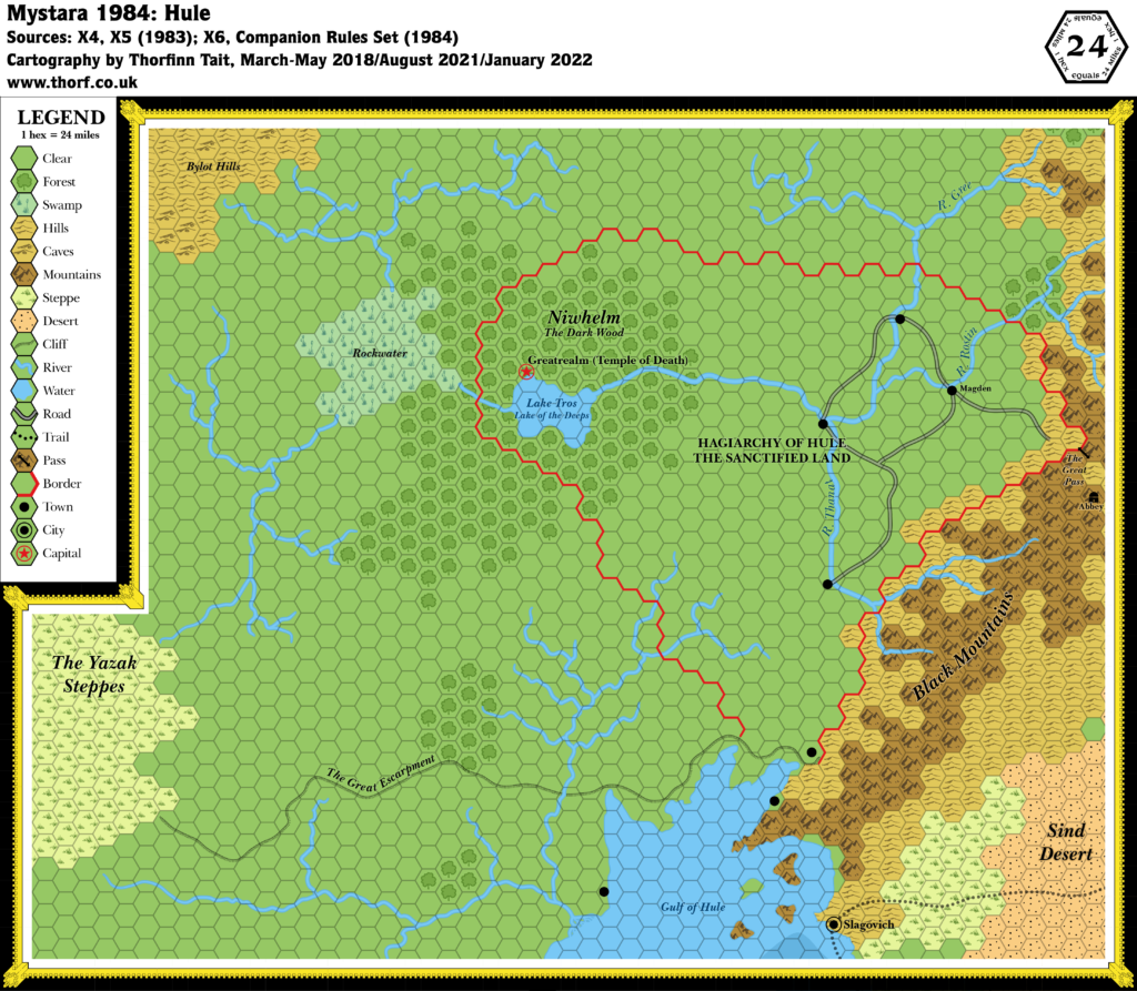
This map is part of the Mystara 1984 series of chronological maps. It is an updated map, incorporating all available sources and made internally consistent with other maps in its series. But it only uses sources published in or before 1984.
For more information, see Appendix C: Cartographic Chronology.
Sources
- Mystara 1983
- Companion Rules Set (1984) (PDF at DriveThruRPG)
- X6 Quagmire! (1984) (PDF at DriveThruRPG)
- CM1 Test of the Warlords (1984) (PDF at DriveThruRPG)
Revisions
For detailed notes, see the posts for each individual source map at the links above.
- Depths — X6’s depths didn’t reach very far into the Gulf of Hule at all — just as far as Slagovich, really. I have smoothed off the transition for now so that there isn’t a sharp line where X6 ended.
References
- Let’s Map Mystara 1984 — the original project thread for this map
- Let’s Map Mystara Together discussion thread at The Piazza (link leads to this map’s post)
- Hule at the Vaults of Pandius



11 January 2022 @ 6:54 pm
I think these maps are great – I think all your maps are great – but I particularly like these reconstructed year by year maps. makes we want to play a Mystara 1984/5 campaign with all those empty spaces top be filled with new empires…