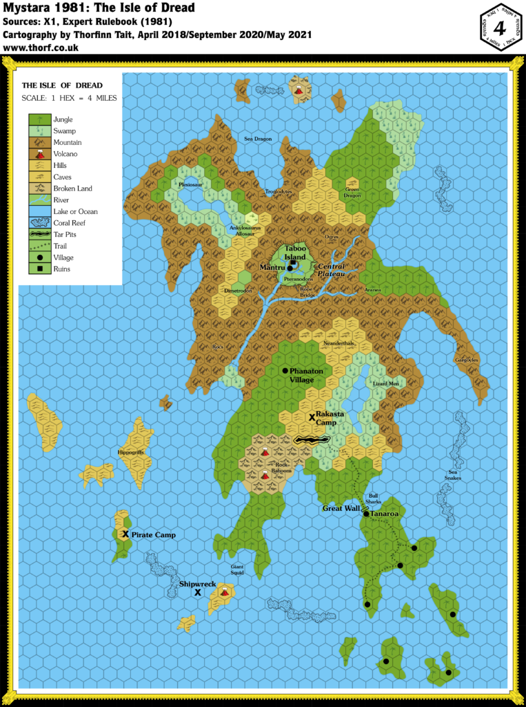
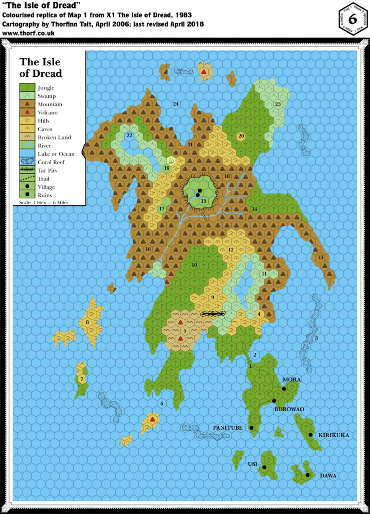
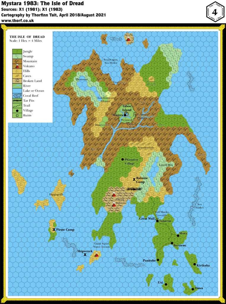
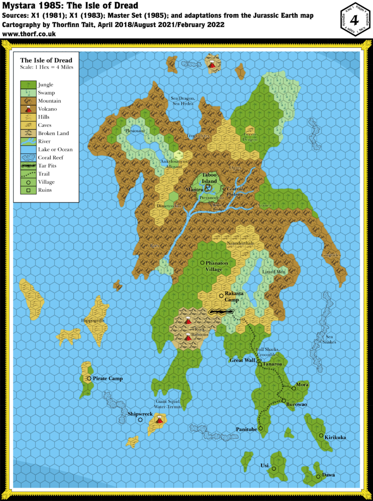
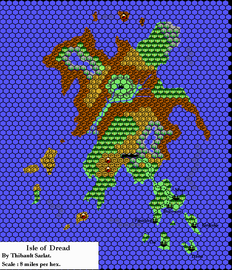
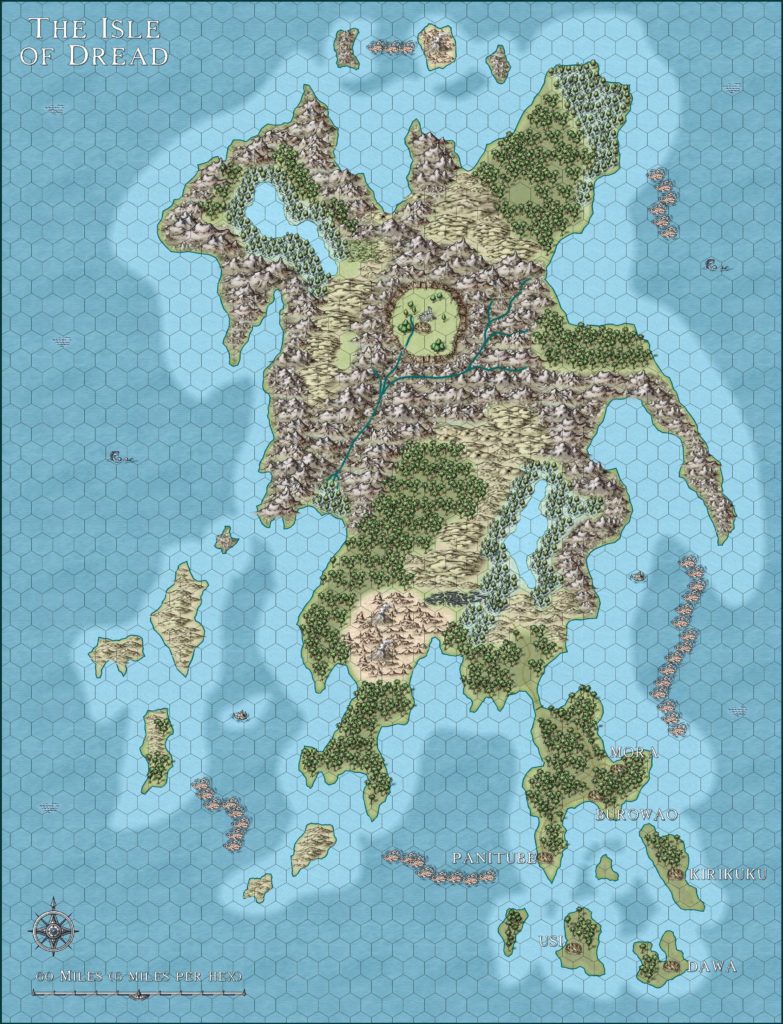
Isle of Dread, 4 miles per hex (1987)
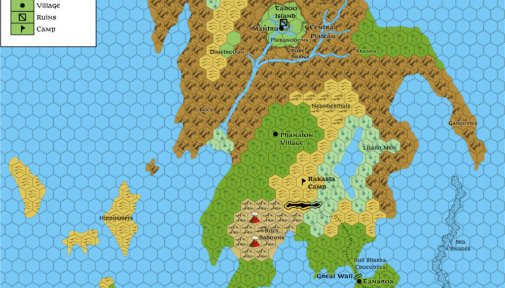
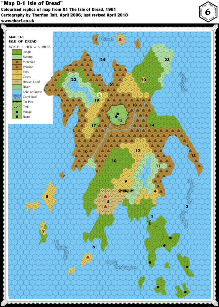
This is a simple art and font update to bring the map into line with the Gazetteer Legend. While the large scale would normally dictate the use of the full hex settlement symbols, doing so would have caused problems with both Tanaroa (which shares its hex with the Great Wall) and Mantru (in the same hex as Taboo Island and its ruins), so I have elected to stick to the smaller symbols.
Chronological Map (March 2022)
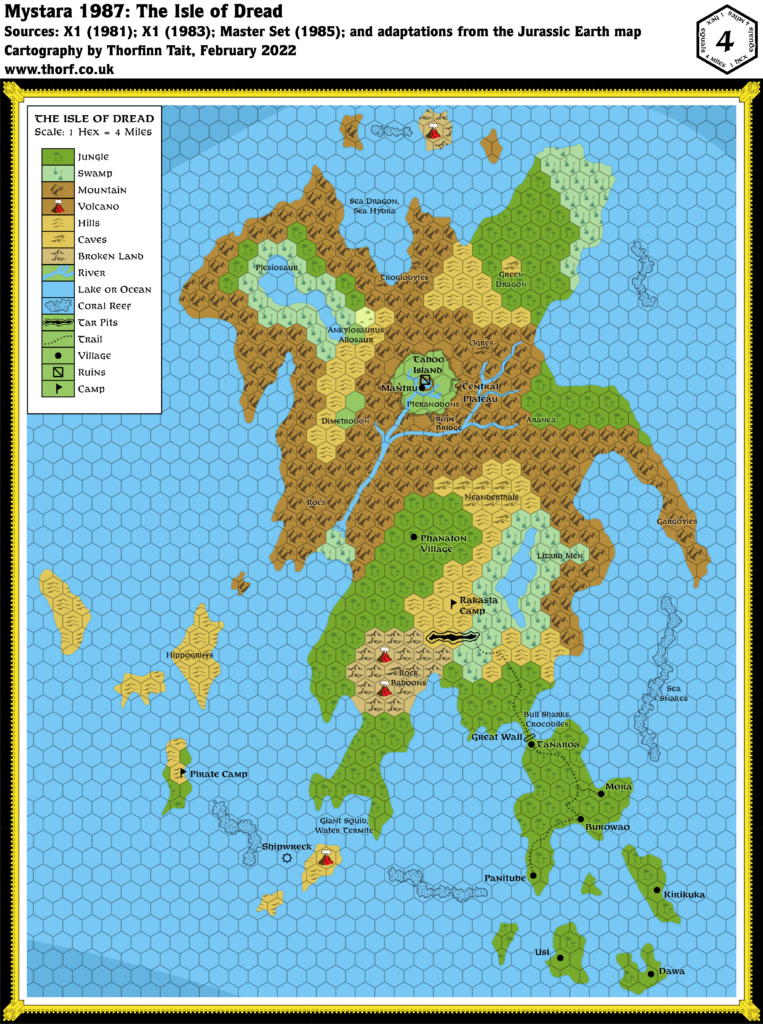
This map is part of the Mystara 1987 series of chronological maps. It is an updated map, incorporating all available sources and made internally consistent with other maps in its series. But it only uses sources published in or before 1987.
For more information, see Appendix C: Cartographic Chronology.
Sources
- Mystara 1985
- GAZ1 The Grand Duchy of Karameikos (1987) (PDF at DriveThruRPG)
Revisions
For detailed notes, see the posts for each individual source map at the links above.
- Hex Art & Fonts — Updated to 1987 standards.
References
- Let’s Map Mystara 1987 — the original project thread for this map
- Let’s Map Mystara Together discussion thread at The Piazza (link leads to this map’s post)
- The Sea of Dread and the Thanegioth Archipelago at the Vaults of Pandius

