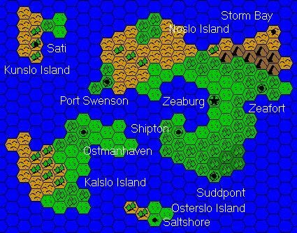
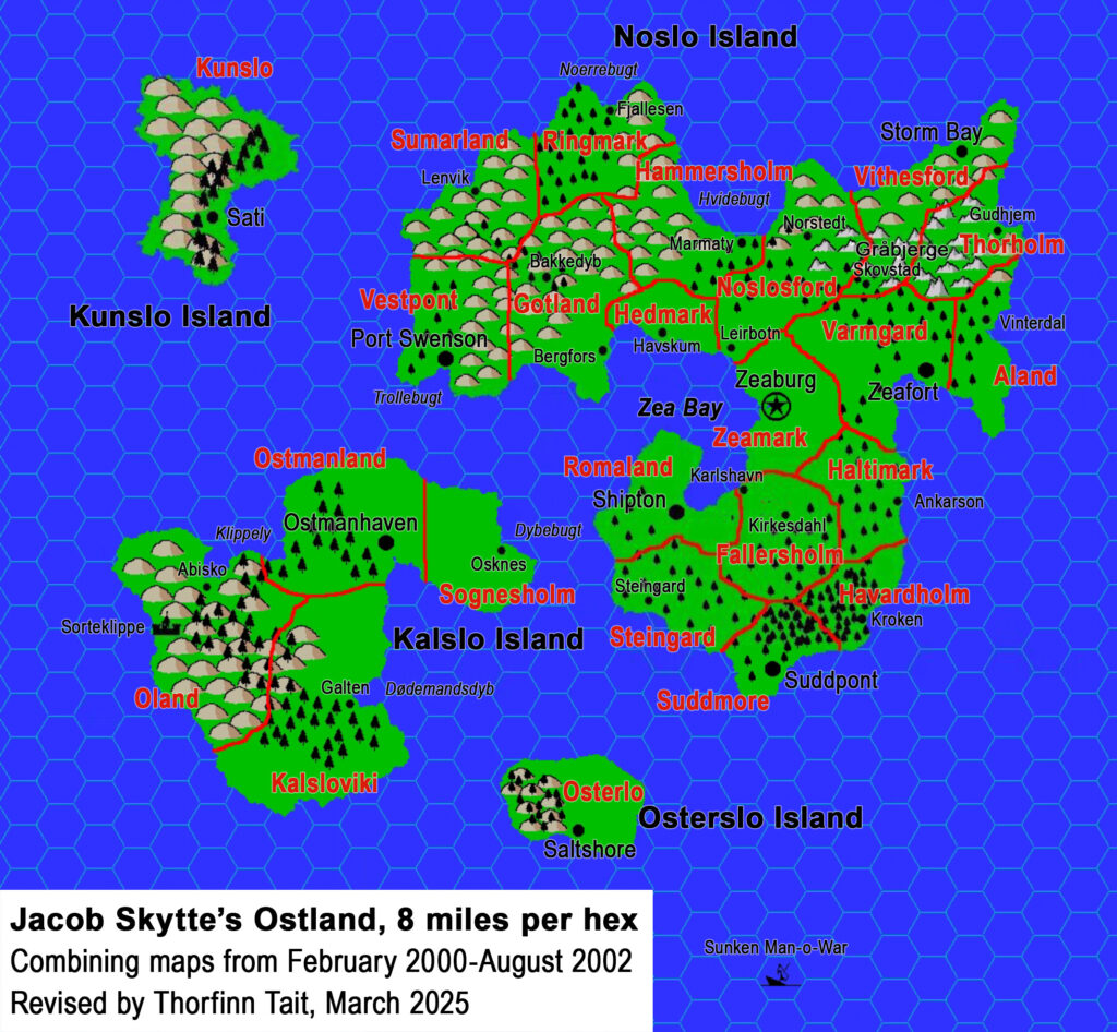
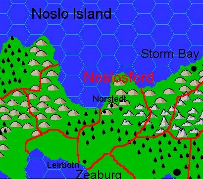
Jacob’s Noslosford, 8 miles per hex
In a first for his domain designs, Jacob added not one but two villages to this map. You can easily see why — it seems likely that Noslosford would want to exploit their having a foothold in Zea Bay in the south as well as part of the coastline in the north. He also mentioned mining, so there are quite a few things to add to the map.
Fan-made Map by Jacob Skytte (March 2000)
This is an original map created by one of Mystara’s excellent fan cartographers. For more information on the cartographer, including a gallery of all their maps, see also Appendix M: Mappers of Mystara.
The Atlas has been unable to contact the original cartographer. This map therefore appears here without explicit permission from its creator. Any information on how to get in touch with them would be most welcome.
Sources
- GAZ7 The Northern Reaches (1988) (PDF at DriveThruRPG)
Fan Sources
- The Complete Domains of Ostland 1st Ed by Jacob Skytte (August 2002) (Vaults of Pandius)
- The Clan Domain of Noslosford (March 2000) (Vaults of Pandius)
References
- All of Jacob’s maps at the Atlas of Mystara
- Jacob’s author page at the Vaults of Pandius
Chronological Analysis
This is a fan-made map. It was probably published in March 2000. The updated Atlas version of this map is Northern Reaches, 8 miles per hex. See also Appendix C for annual chronological snapshots of the area. For the full context of this map in Mystara’s publication history, see the upcoming Let’s Map Mystara 2000.
The following lists are from the Let’s Map Mystara project. Additions are new features, introduced in this map. Revisions are changes to previously-introduced features. Hex Art & Fonts track design elements. Finally, Textual Additions are potential features found in the related text. In most cases, the Atlas adopts these textual additions into updated and chronological maps.
Additions
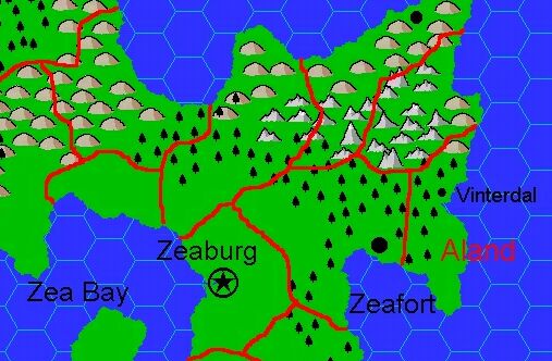
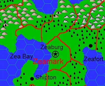
- Settlements — The villages of Norstedt near the north coast, and Leirbotn on the southern coast near Zeaburg. Leirbotn previously appeared in the table of Ostland Clans and Dominions (GAZ7 Player’s Book page 13), but never before on a map.
Revisions
- None.
Hex Art & Fonts
- Hex Art — Highly saturated Campaign Cartographer 2 non-hex art style.
- Font — Arial.
Textual Additions (Complete Domains of Ostland, 2000-2002)
- Mines — The domain is noted to have a mine, presumably iron as they produce weapons and armour.
- Rulers — Geirstein Thorgelson is the Jarl, Head of Clan Noslosford. Although the name was listed in GAZ7 (Player’s Book page 13), Jacob worked up a full description.
- Settlements — The population of Leirbotn is listed as 480, Norstedt as 420.