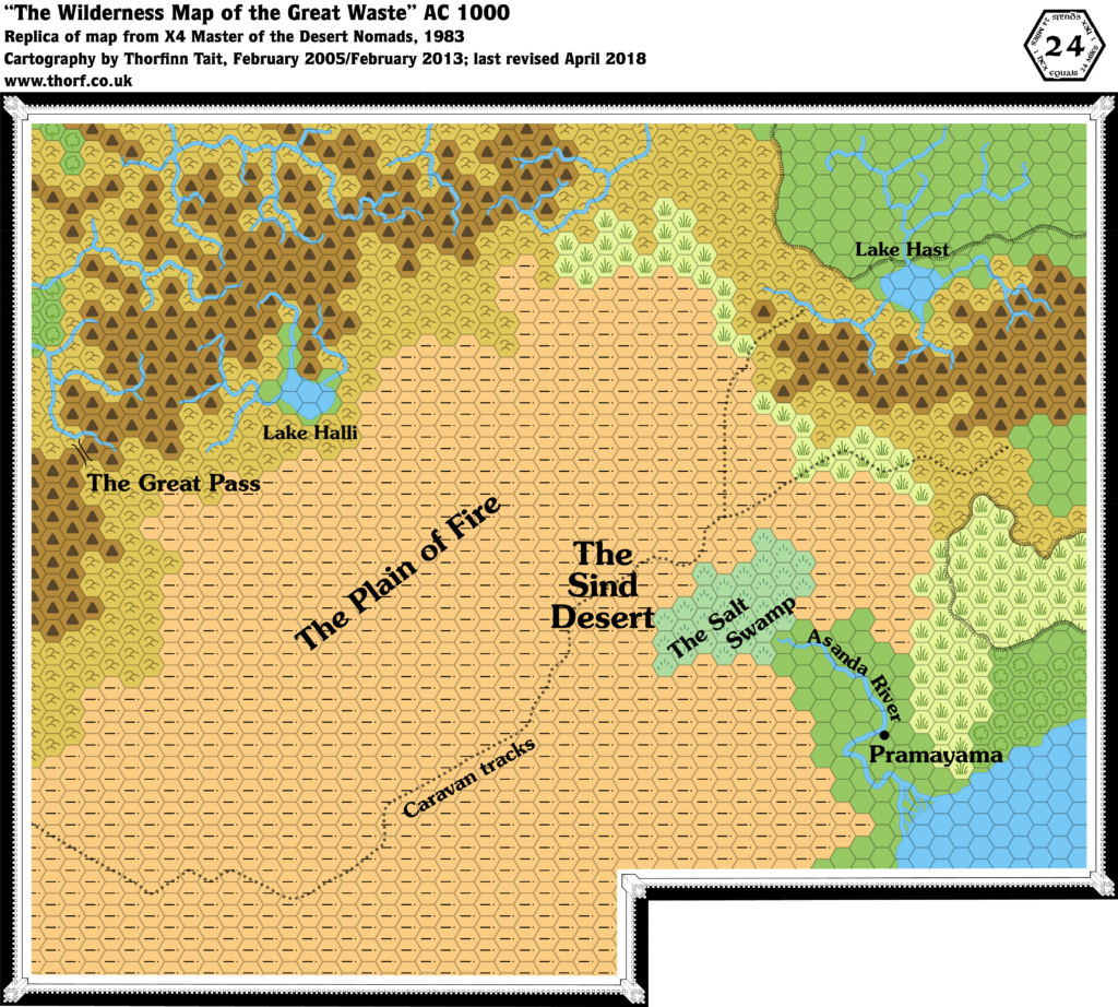
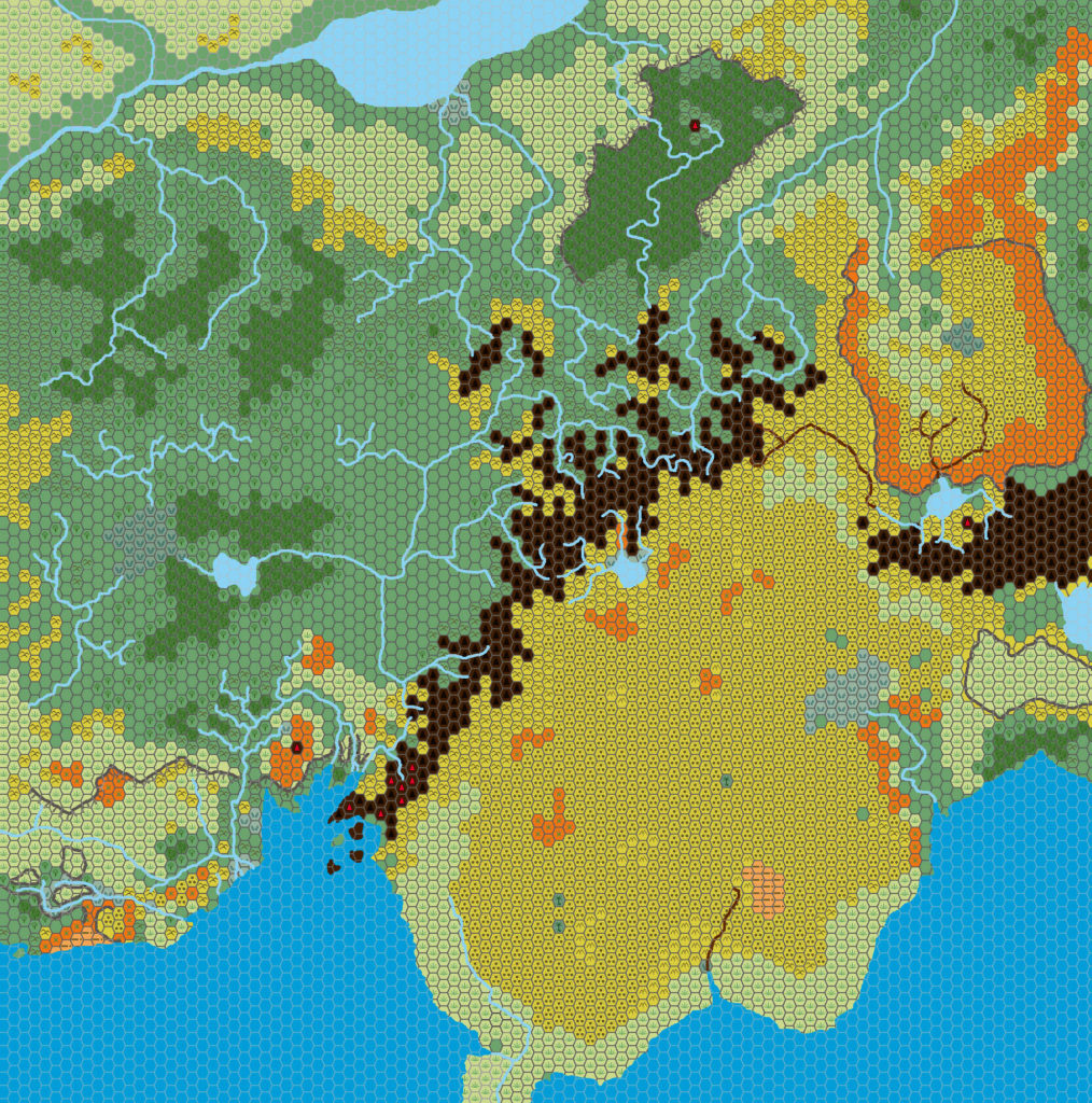
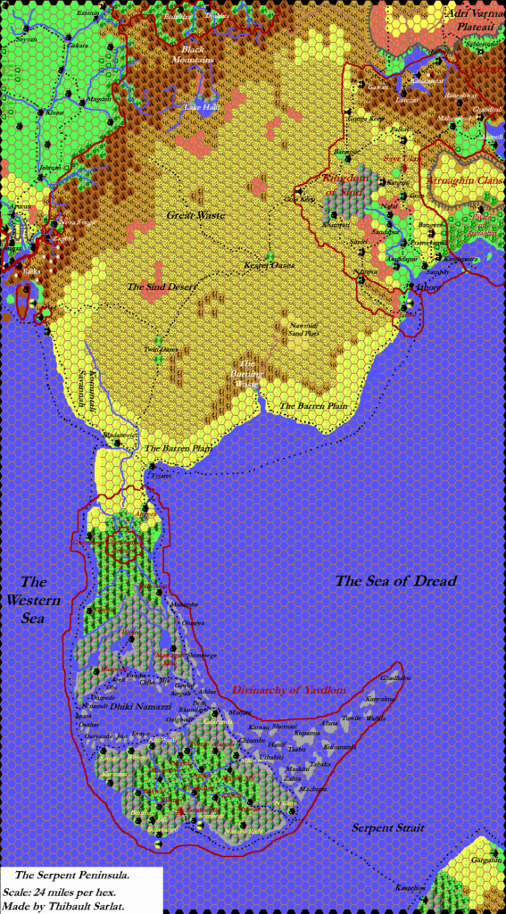
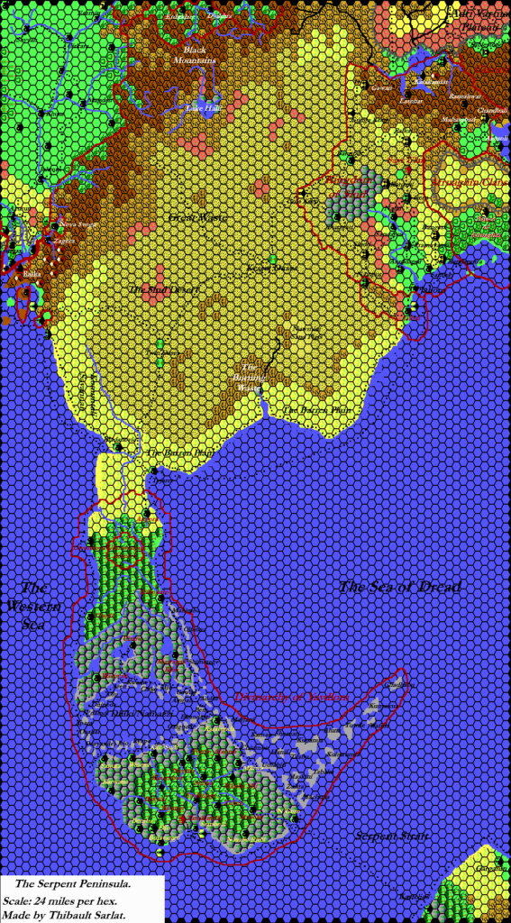
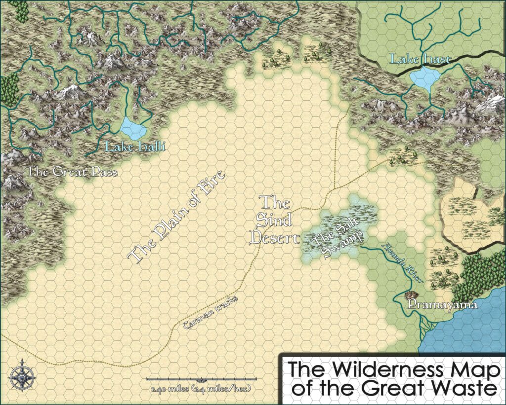
Kal’s Sind, 24 miles per hex
Along with his Borea, 24 miles per hex map, this was one of two updates to Andrea’s Brun, 24 miles per hex v2 map.
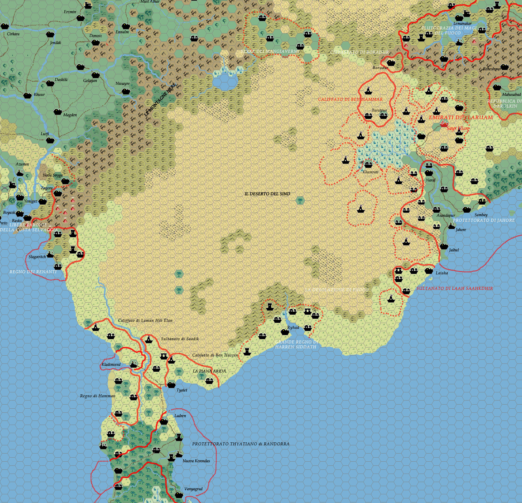
The Sind Desert update includes more extensive additions, in the form of new labelled settlements as well as borders and political labels.
One of these is particularly interesting, as Sind itself (previously labelled “Regno di Sayrt”) has now become “Emirati di Ylaruam”. So Andrea relocated Ylaruam to the Sind Desert, apparently merging it with the Kingdom of Sind: the nation is the Emirate of Ylaruam, while the capital is Sayr Ulan. Given the lack of labels originating in Ylaruam, it may be that this was an in-game event rather than a redesign — a quick check of the full Brun map shows that Ylaruam did not vanish, but instead became a verdant green country, with its settlements intact. But as with all of Andrea’s maps, without further information on his campaign, we can’t tell for sure what happened.
Regardless, it may well be that Andrea was the first fan cartographer to experiment with relocating Ylaruam here — something that quite a few others have done since.
Fan-made Map by Andrea Francolini (January 2009)
This is an original map created by one of Mystara’s excellent fan cartographers. For more information on the cartographer, including a gallery of all their maps, see also Appendix M: Mappers of Mystara.
Sources
- Champions of Mystara (1993) (PDF at DriveThruRPG)
Fan Sources
References
- All of Andrea’s maps at the Atlas of Mystara
- Andrea’s entry in Appendix M: Mappers of Mystara (upcoming)
- Andrea’s author page at the Vaults of Pandius
Chronological Analysis
This is a fan-made map. It was published in January 2009. The updated Atlas version of this map is not yet available. See also Appendix C for annual chronological snapshots of the area. For the full context of this map in Mystara’s publication history, see the upcoming Let’s Map Mystara 2009.
The following lists are from the Let’s Map Mystara project. Additions are new features, introduced in this map. Revisions are changes to previously-introduced features. Hex Art & Fonts track design elements. Finally, Textual Additions are potential features found in the related text. In most cases, the Atlas adopts these textual additions into updated and chronological maps.
Under Construction! Please check back again soon for updates.