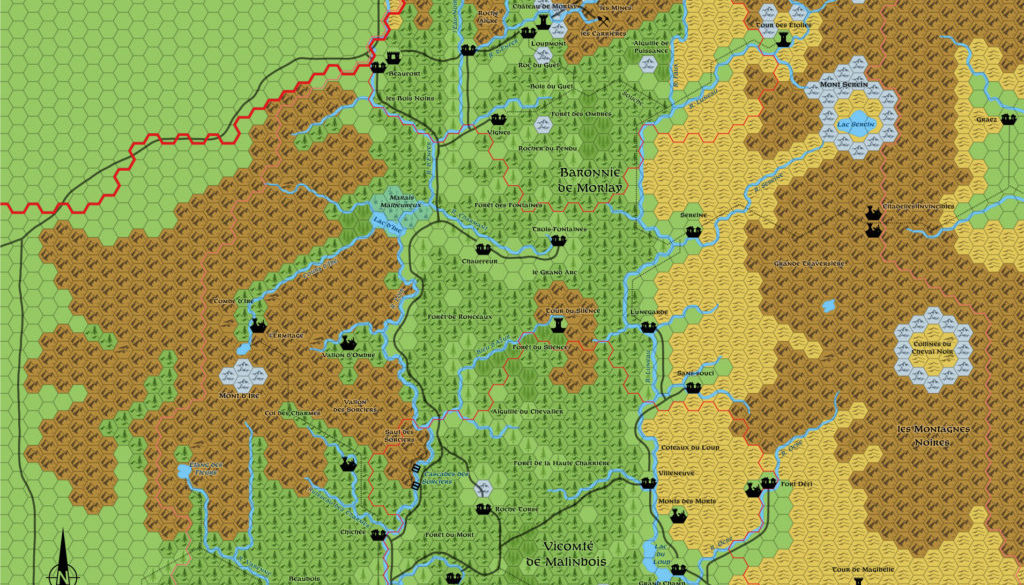
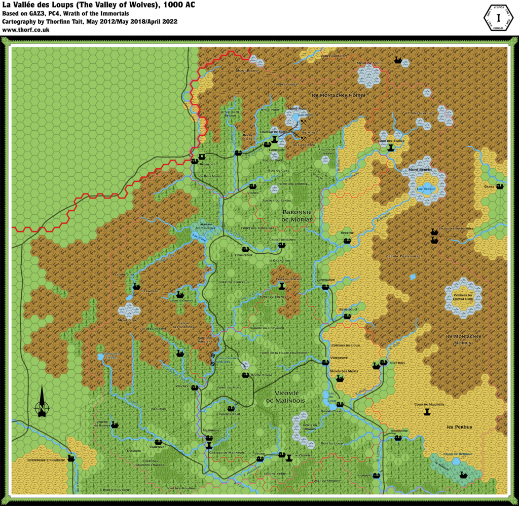
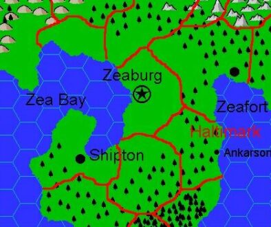
La Vallée des Loups, 1 mile per hex
La Vallee des Loups is the northern extension of the Isoile Valley. Nestled between Mont d’Ire and les Montagnes Noires (the Black Mountains), the valley contains rolling hills, extensive forests, and many rapid streams. Even at its lower, southern end, the valley floor is roughly 5,000′ above sea level.
Two main rivers cut through the valley. The Loir runs swiftly down the western edge of the valley and includes many rapids and waterfalls. North of Lac d’Ire the river is called d’Enfer. The Luneau meanders its way down the eastern side of the valley, separating the rolling grassy foothills of les Montagnes Noires from the forested hills of the valley’s center.
Tall basalt crags—called aiguilles—dot the valley in mute testimony of the volcanic nature of the region. Many small volcanoes in the area are now so weathered and overgrown as to be indistinguishable from the surrounding forested hills. Their rounded basins often contain good grazing lands.
from PC4 Night Howlers, by Ann Dupuis
Map (April 2022)
Sources
- PC4 Night Howlers (1992) (PDF at DriveThruRPG)
Secondary Sources
Comments
I have not yet attempted to reconcile this map with later fan developments, most notably those of Emanuele Betti and Michael Berry. Before I do this, I would like to work through possible additions from earlier sources, so I will leave this until after I’ve finished work on Mystara 1992. In the meantime, I’m presenting my original updated map as it first appeared in 2012, with just hex art updates.
Notes
- Map edges — The original map clipped some features on the edge of the map, most notably on the eastern edge. I have expanded the map to show these in full. At the same time, I have restored the area that was hidden beneath the map legend in the top left corner.
References
- Glantri at the Vaults of Pandius
Thanks to:
Ann Dupuis, Paul Dupuis, Thibault Sarlat

