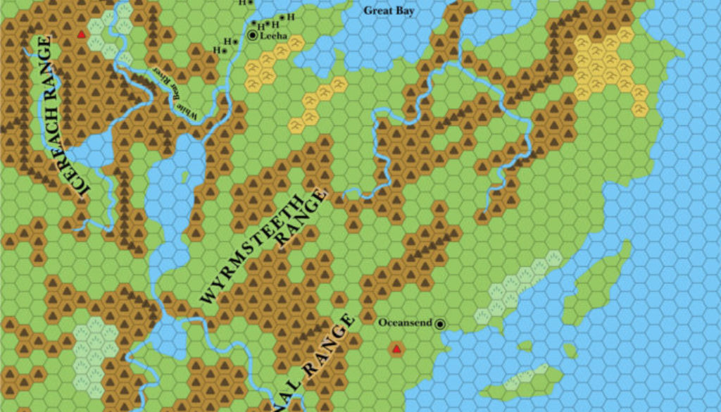
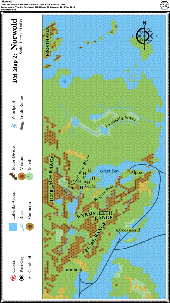
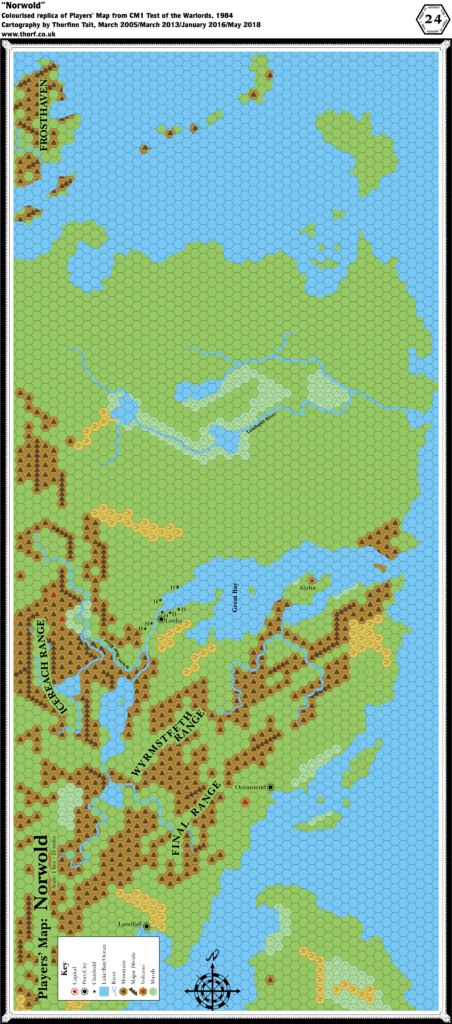
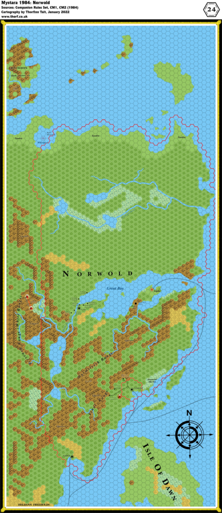
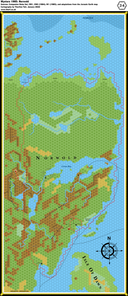
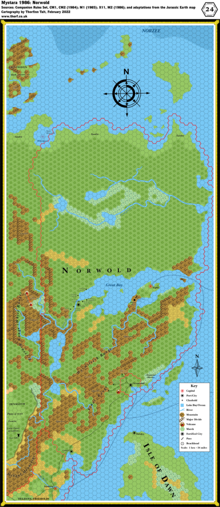
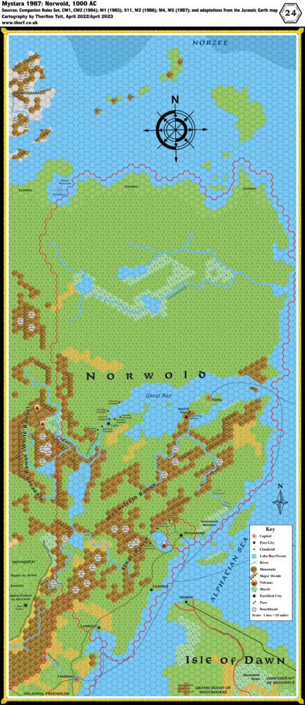
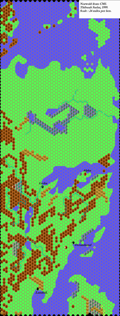
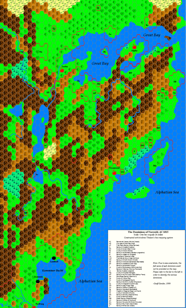
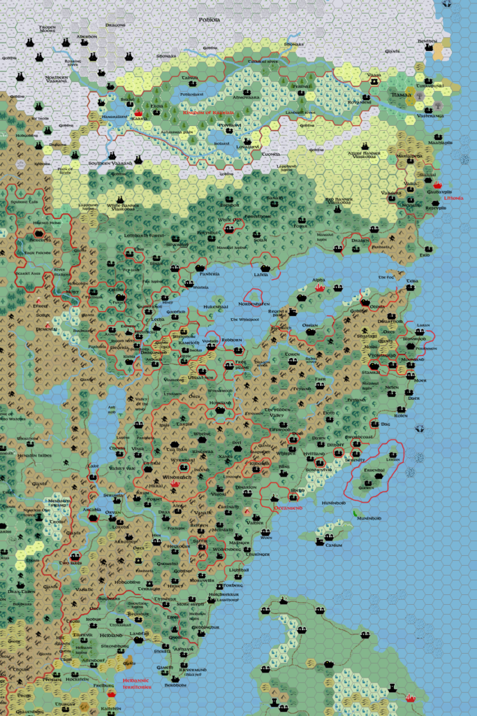
M2 Norwold, 24 miles per hex
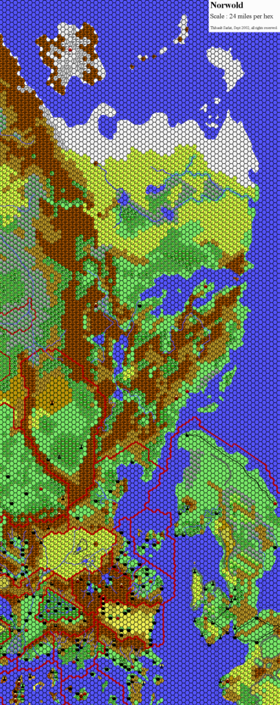
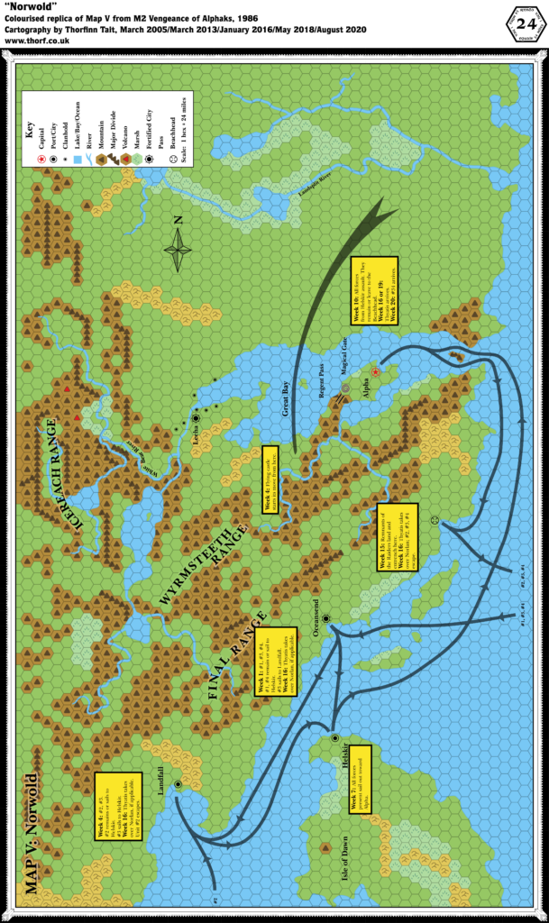
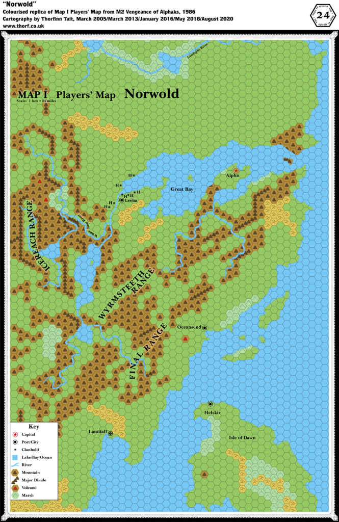
As with the module itself, M2’s maps of Norwold were very much “more of the same”. In fact, they duplicated CM1’s original map to such an extent that the Atlas originally only included them as a combined map. The one thing of note with this map is that it was the first to include any settlements on the Isle of Dawn, with the introduction of the port town of Helskir.
Replica Map (August 2020)
Sources
- M2 Vengeance of Alphaks (1986) (PDF at DriveThruRPG)
- “Map V: Norwold”, inside cover
- “Map I Players’ Map: Norwold”, cover gatefold
- Cartography by David C. Sutherland III
Chronological Analysis
This is Map 47. It was published in May 1986. The updated version of this map has not yet been released. See also Appendix C for annual chronological snapshots of the area. For the full context of this map in Mystara’s publication history, see Let’s Map Mystara 1986.
The following lists are from the Let’s Map Mystara project. Additions are new features, introduced in this map. Revisions are changes to previously-introduced features. Hex Art & Fonts track design elements. Finally, Textual Additions are potential features found in the related text. In most cases, the Atlas adopts these textual additions into updated and chronological maps.
Additions
- Features — The Beachhead and the Magical Gate are both new, though presumably temporary locations just for M2’s adventure.
- Mountain Passes — Regent Pass is marked on the map for the first time; previously it was only referenced in CM1’s text.
- Settlements — Helskir appears for the first time on this map.
Revisions
- Settlements — Oceansend, Alpha, and Leeha are shown to be fortified.
- Terrain — The island at the mouth of the Great Bay has gained mountain symbols.
Hex Art & Fonts
- Fonts — Baskerville.
- New Symbols — Fortified City (a combination of the Capital and City symbols with the spiked circle from the Module Location/Point of Interest symbol), Magical Gate (a whirlpool-like swirl), Beachhead (a circle with lines pointing to its centre, like the sights of a gun).

Textual Additions (M2, May 1986)
- Barbarians — Barbarians of the Red Banner are located “anywhere north of the Great Bay” (page 23).
- Heraldry — The blue star pennants are the symbol of Baron Norlan of Qeodhar (page 5).
- Military — Pages 22 and 23 include extensive army and navy rosters for not just Norwold but also a whole host of other nations.
- Races — The military rosters (pages 22-23) suggest the races inhabiting various nations and regions: Thonia’s army includes horsemen and pegataurs; Western Minaea’s is a pirate fleet; the Alphatian armies seem to be exclusively human; Minrothad’s sailors are all human; Norwold’s armies are mostly humans and elves, with halflings from Leeha and dwarves from Stormhaven.
- Regions — The military rosters (pages 22-23) reference two regions previously featured on the Master Set world map: Lands of Thonia and Western Minaea.
- Rulers — Lernal the Swill is noted as “governor” or Landfall (page 21). Previously CM1 had listed him as “lord”, though neither of these titles was capitalised. The military rosters include numerous leaders, some of whom may be rulers: Krondell the One-Eyed, a pirate of Western Minaea; Sire Rodnox, leader of the Regent Pass Fortress and its garrison; and others. (Pages 22-23) Prerolled characters include two new dominion rulers, Bardeen Longwalker from Ostland and Winnefred of the Lake, who “spent her early years adventuring in the Ethengar Khanate”. Other PCs are Trent the White from Heldann, Adik de Chevas, Lucci Dhay from Karameikos, and Delsel Oaktree. (All page 32)
- Settlements — The text refers to a few settlements, some on the map, others not:
- Dawn Rising is a small fortified town to be placed in a PC’s or friendly NPC’s dominion. It has a town map (Map I, page 15), but otherwise no fixed location. We can add this to the already rather extensive list of things without a set location in Norwold. Note that the town name is derived from the section and map heading, “Storm at Dawn Rising”. It’s a little ambiguous whether or not this was intended as the town name. (Page 6)
- Similarly, Coiger de Mory’s lair “is housed in one of a series of forested bluffs overlooking a small river. The area is remote, far from any human, demi-human, or humanoid communities” (page 8 and Map II, page 16). This is another unplaced location.
- Helskir is barely mentioned, appearing only as a rallying and resupplying point for Baron Norlan and the Thyatian forces (page 21). The army lists don’t even list it by name, instead only saying “Isle of Dawn” (page 23).
Special thanks to Michele Carpita for contributions to this list.
Analysis
M2’s map is very much geared towards the adventure. As a result, though it appears that it’s full of new details, in fact there is little to add to CM1’s Norwold. The Beachhead is a prime example of this, as it sits in a spot that is surely a prime location for a city, and yet represents just a temporary tactical position. So too with the Magical Gate.
On the other hand, the new Fortified City symbols are great, but they also present us with a fascinating dilemma: this symbol only appears here, never to be reprised in future maps. It is a nice little addition, giving extra information about settlements in a very concise and intuitive way. Should we therefore adopt it in all maps moving forward? Doing so would undoubtedly be difficult, as we are lacking this information for the majority of marked cities on the map. Moreover, if the symbol is used at all, its absence then implies no fortifications.
The best solution for this seems to be to adopt it only on the separate Norwold map, leaving it off the combined Brun map.
Finally, as with previous Norwold modules, there’s quite a bit here that could be placed on the map, such as the dominions of the prerolled characters. See CM1’s Norwold map for those details. For now, as there is no way to conclusively place these details on the map, we will just note them for future reference.
Join in the Discussion at The Piazza
Come and join in the discussion about this map at The Piazza, where I am holding a “read through” of the Let’s Map Mystara project.

