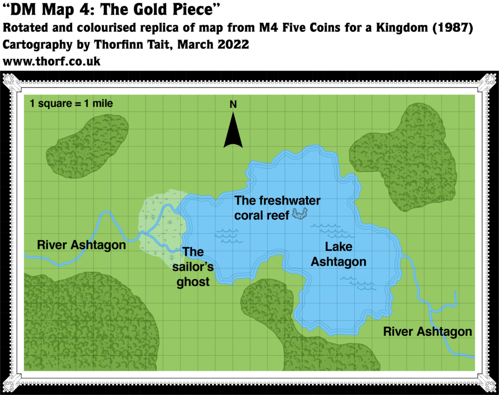
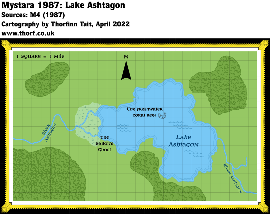
M4 Lake Ashtagon, 1 mile per square
Like many of the Master-level adventures, 1987’s M4 located a lot of its action in other planes. Consequently, though it was set in Norwold, it not provide much in the way of new details to add to the map. Aside from the overview map, there were various encounter maps, of which just this one map had a scale small enough to provide significant geographical features. At 26 miles across by 16 miles high, this map neatly fits within a single hex of CM1’s Norwold map.
Replica Map (March 2022)

Sources
- M4 Five Coins for a Kingdom (1987) (PDF at DriveThruRPG)
- Page 11 map (Cartography by William Reuter)
Chronological Analysis
This is Map 57. It was published in June 1987. The updated version of this map has not yet been released. See also Appendix C for annual chronological snapshots of the area. For the full context of this map in Mystara’s publication history, see Let’s Map Mystara 1987.
The following lists are from the Let’s Map Mystara project. Additions are new features, introduced in this map. Revisions are changes to previously-introduced features. Hex Art & Fonts track design elements. Finally, Textual Additions are potential features found in the related text. In most cases, the Atlas adopts these textual additions into updated and chronological maps.
Under Construction! Please check back again soon for updates.
Additions
- Rivers —
Revisions
- Settlements —
Hex Art & Fonts
- Symbols — Hand-drawn.
- Fonts — Helvetica throughout.
Textual Additions (M5, November 1987)
Settlements —


