
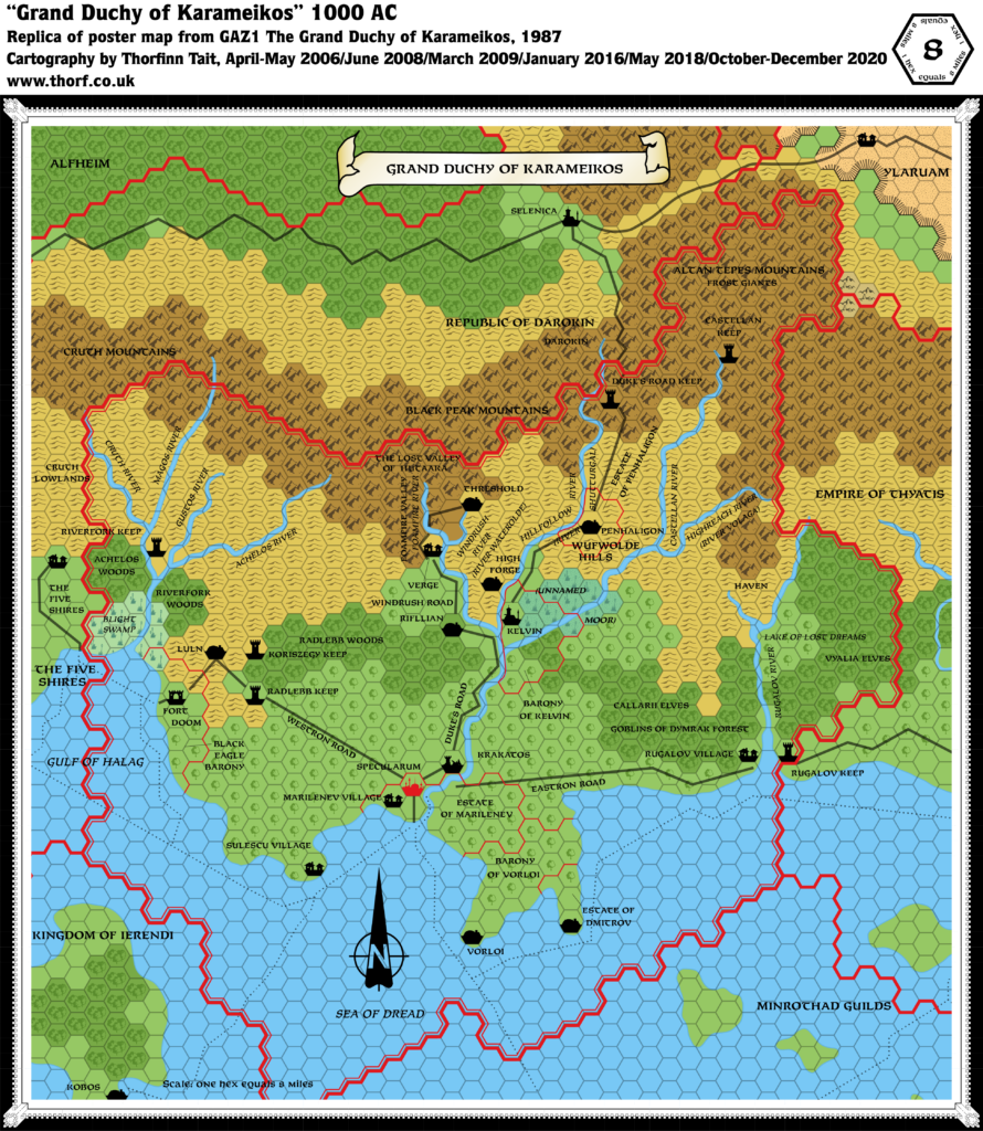
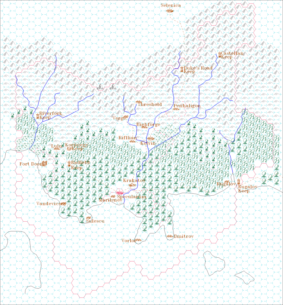
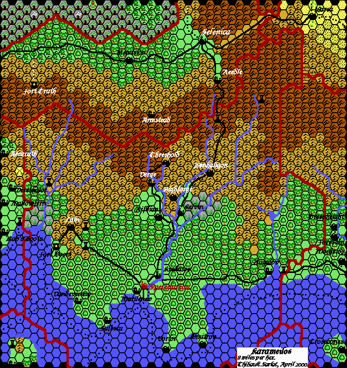
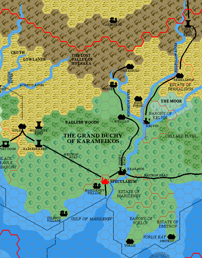
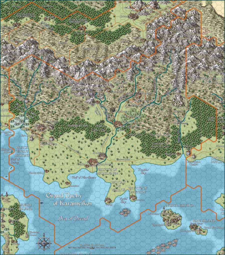
Mark’s Karameikos, 8 miles per hex v2
Fourteen years after his first fragmentary map of Karameikos, Mark produced this map. I have marked them as versions, but really the previous one, made in MS Paint, was just a sliver of central Karameikos, whereas this one, made in Paint.NET, actually includes far more. This is likely because this map was an expansion of his new Alfheim map, and together they were simply trials on the way to a new full Known World map — which he would produce a few months later.
Strangely enough, this map reverses some edits Mark had made in his previous versions of Karameikos. For example, Kelvin now appears in its GAZ1 location, rather than relocated to the riverfork one hex to the south. And the Barony of Threshold is no longer marked. These are likely due to the large time difference between the maps rather than a deliberate change of mind.
For more on Mark’s first Paint.NET style, see the post for his full Known World map from September 2019.
Fan-made Map by Mark Howard (June 2019)
This is an original map created by one of Mystara’s excellent fan cartographers. For more information on the cartographer, including a gallery of all their maps, see also Appendix M: Mappers of Mystara.
Sources
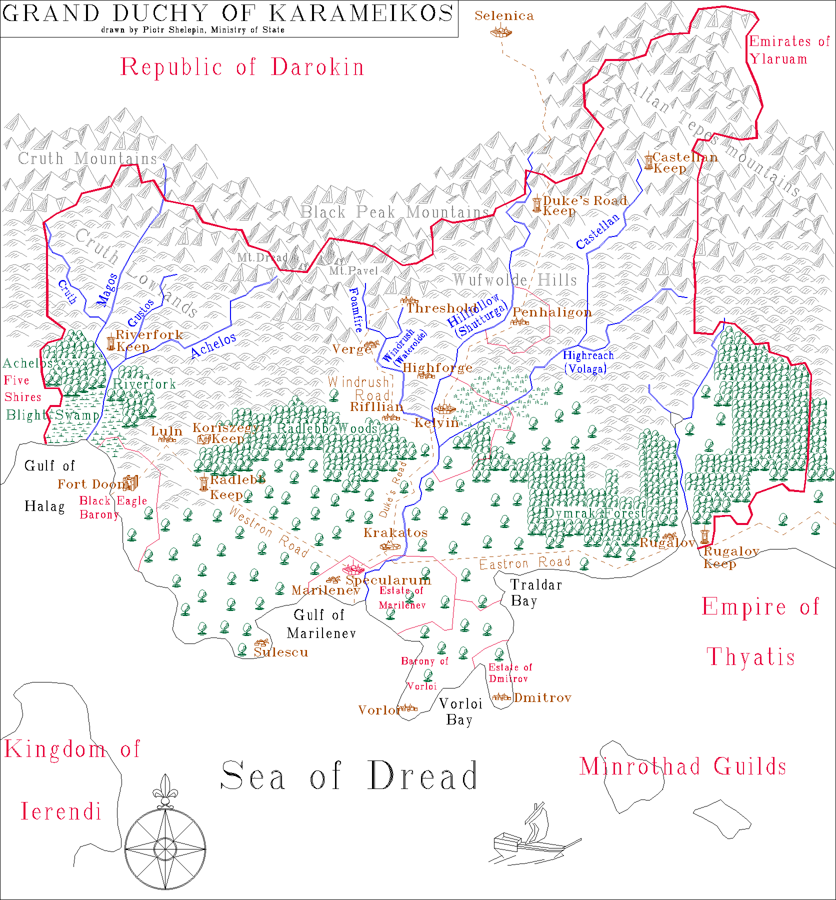
- GAZ1 The Grand Duchy of Karameikos (1987) (PDF at DriveThruRPG)
- DDA3 Eye of Traldar (1991) (PDF at DriveThruRPG)
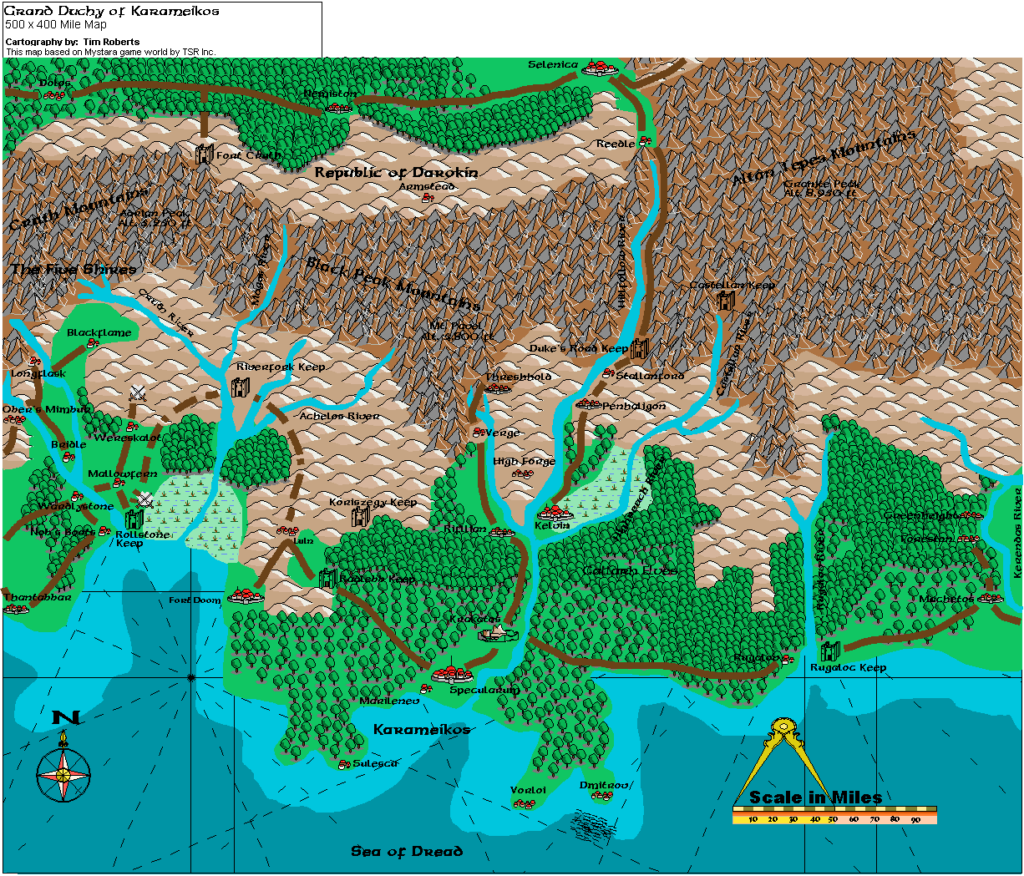
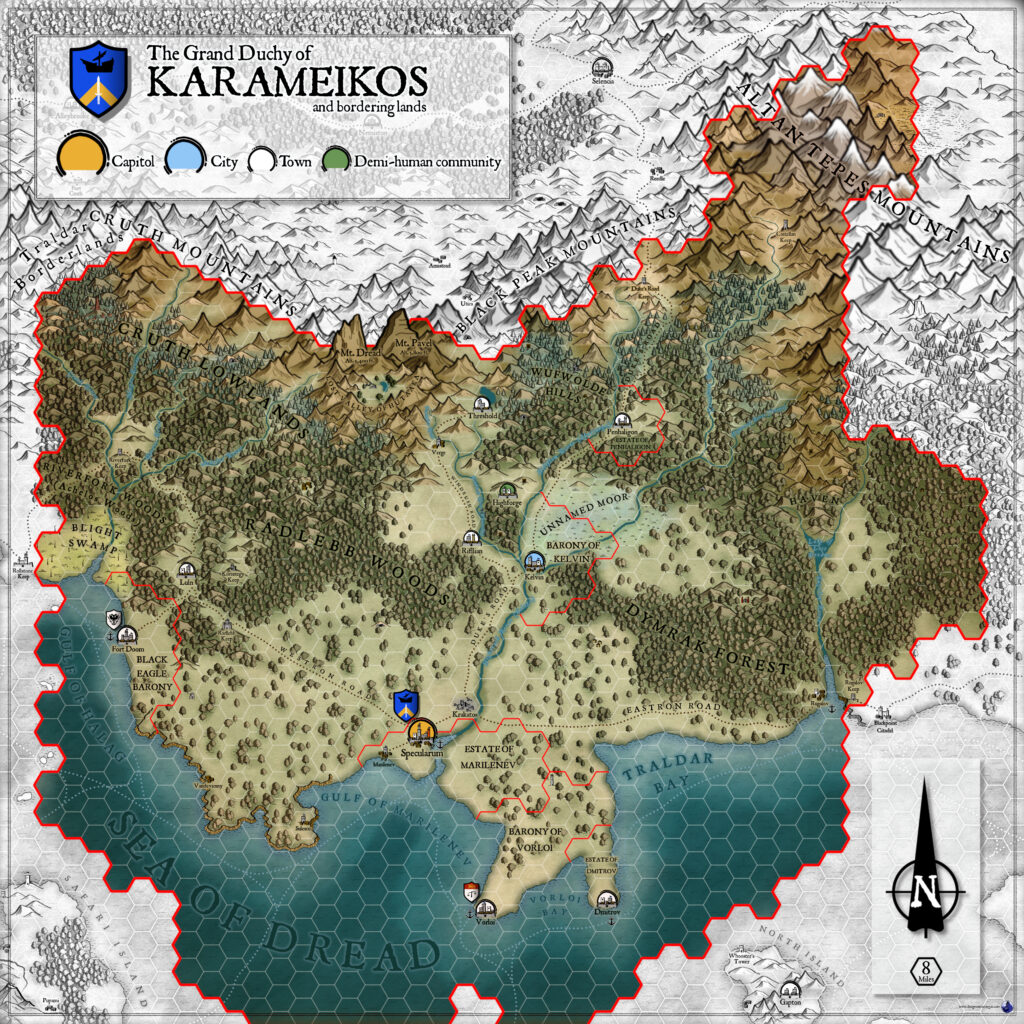
- Karameikos, 8 miles per hex
Fan Sources
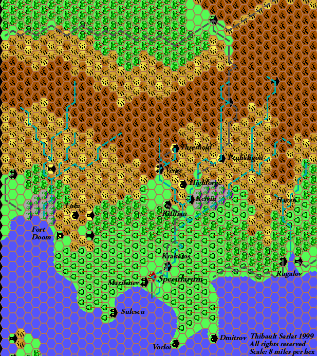
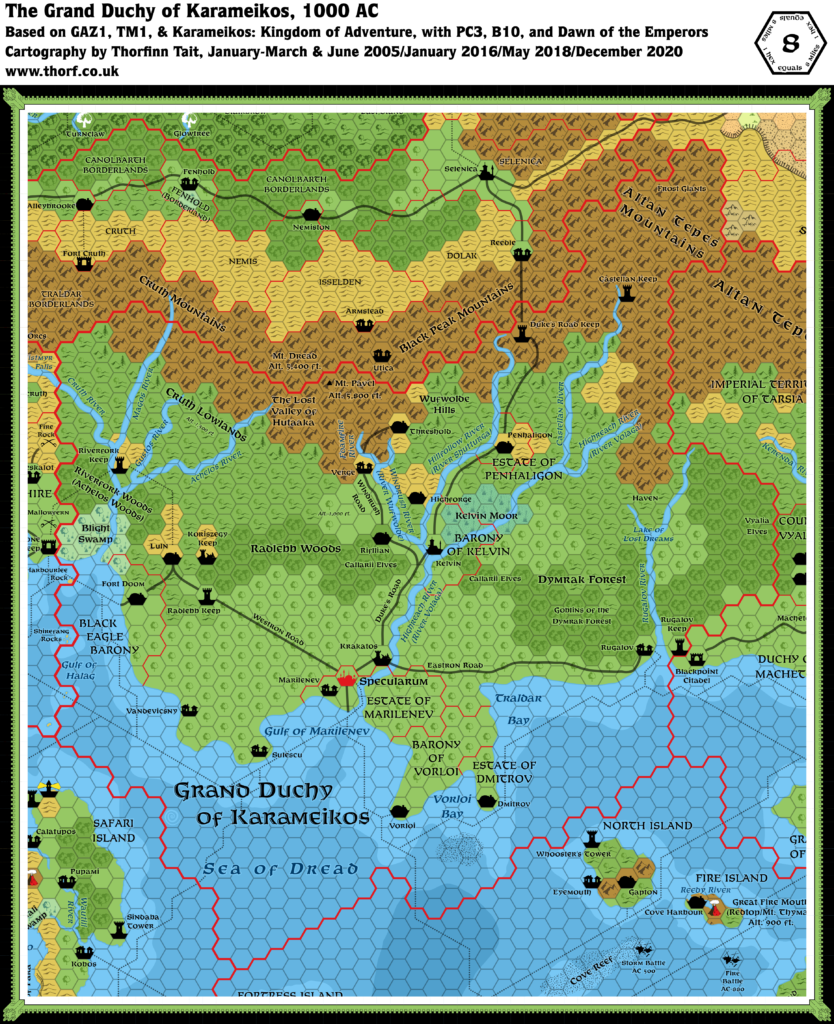
- Mark’s Karameikos, 8 miles per hex v1 (January 2005)
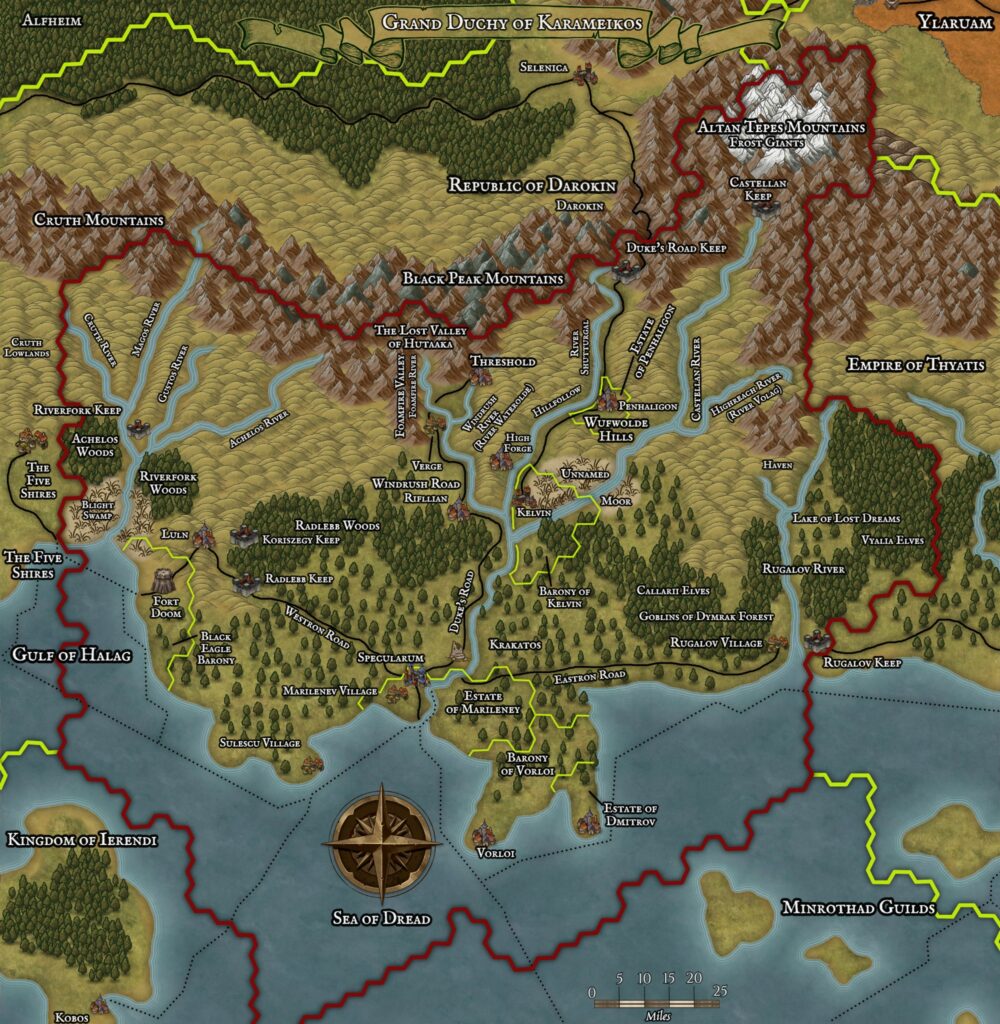
- Karameikos at Mark’s web site (June 2019)
References
- All of Mark’s maps at the Atlas of Mystara
- Mark’s entry in Appendix M: Mappers of Mystara (upcoming)
- Mark’s author page at the Vaults of Pandius
Chronological Analysis
This is a fan-made map. It was published in June 2019. The updated Atlas version of this map is not yet available. See also Appendix C for annual chronological snapshots of the area. For the full context of this map in Mystara’s publication history, see the upcoming Let’s Map Mystara 2019.
The following lists are from the Let’s Map Mystara project. Additions are new features, introduced in this map. Revisions are changes to previously-introduced features. Hex Art & Fonts track design elements. Finally, Textual Additions are potential features found in the related text. In most cases, the Atlas adopts these textual additions into updated and chronological maps.
Under Construction! Please check back again soon for updates.
Additions
Revisions
- Settlements —
")
")
")