Mystaros’ Isle of Ochalea
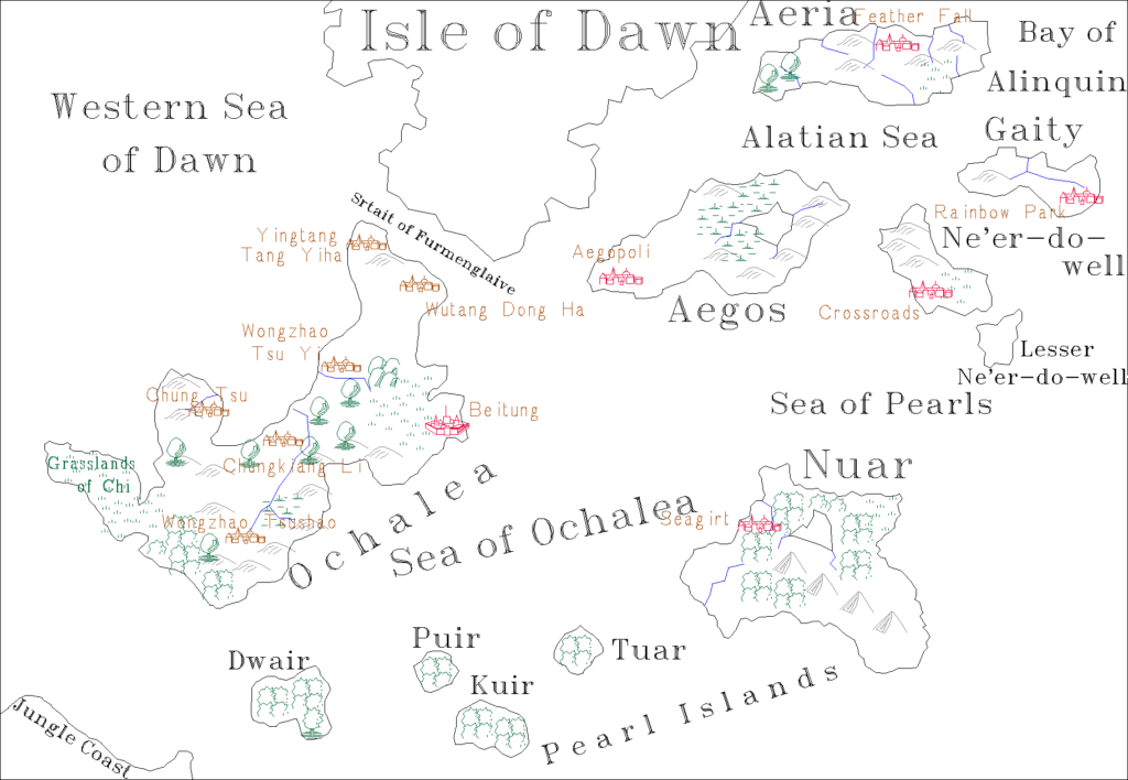
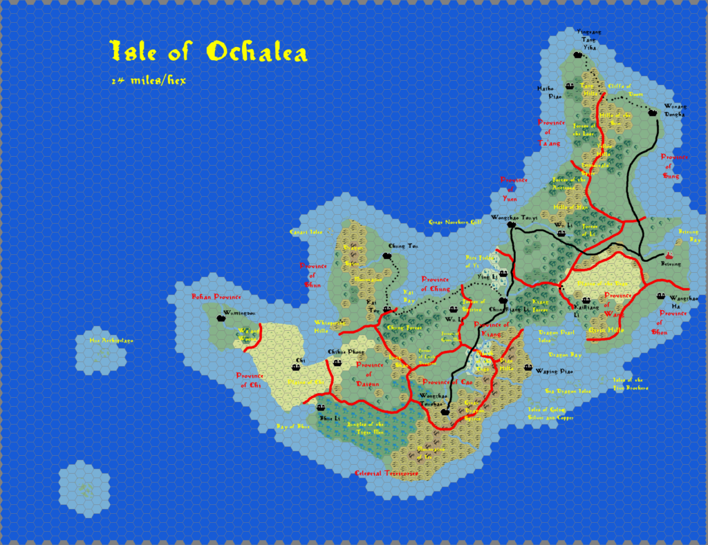
The second set of maps James posted were hand-drawn, with labels and other elements added in the computer. The subject: Ochalea, about which he also wrote a gazetteer.
The map came in two flavours: political, with province borders and names overlaid; and geographical, with just the terrain and associated place names. The former is really just an overlay added to the latter, and you can see both of these maps below.
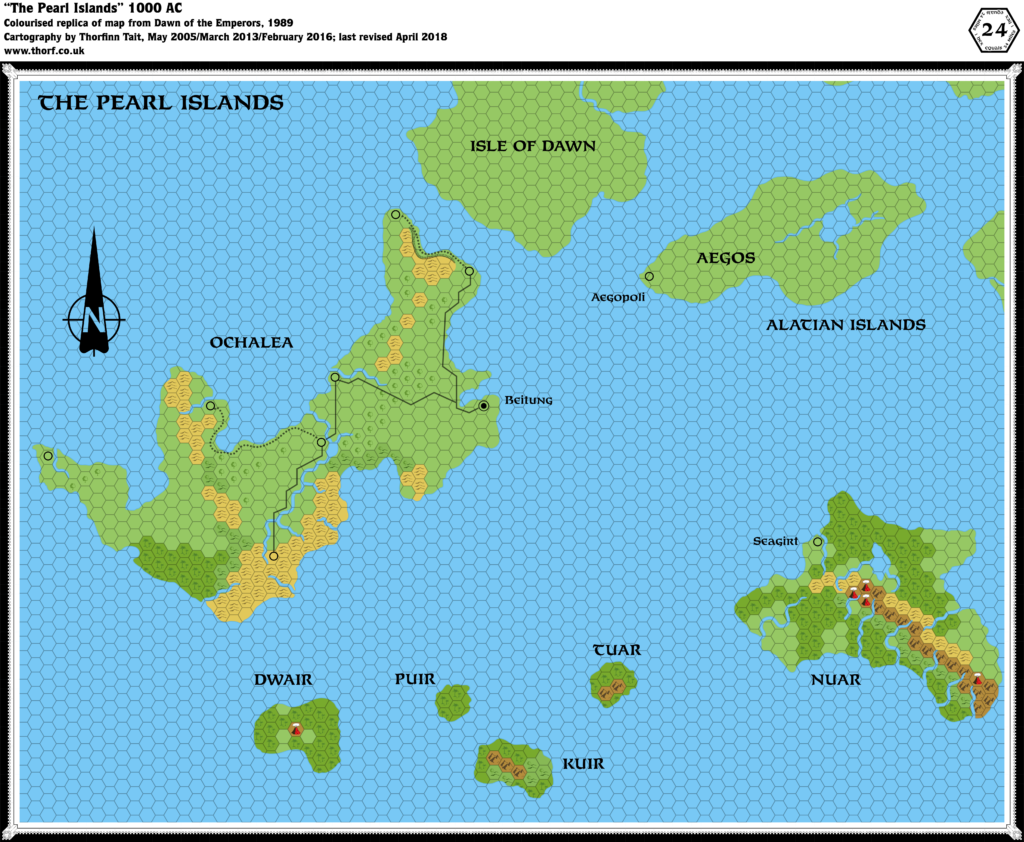
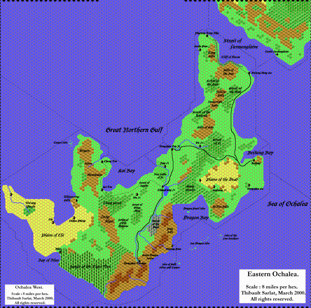
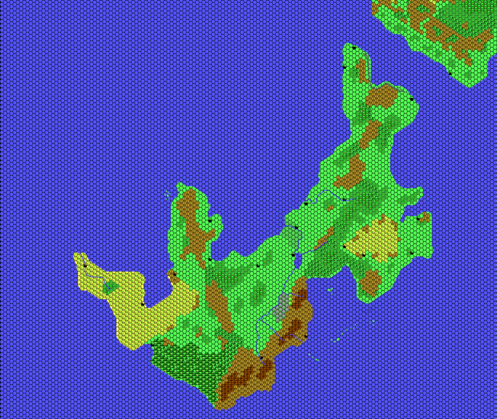
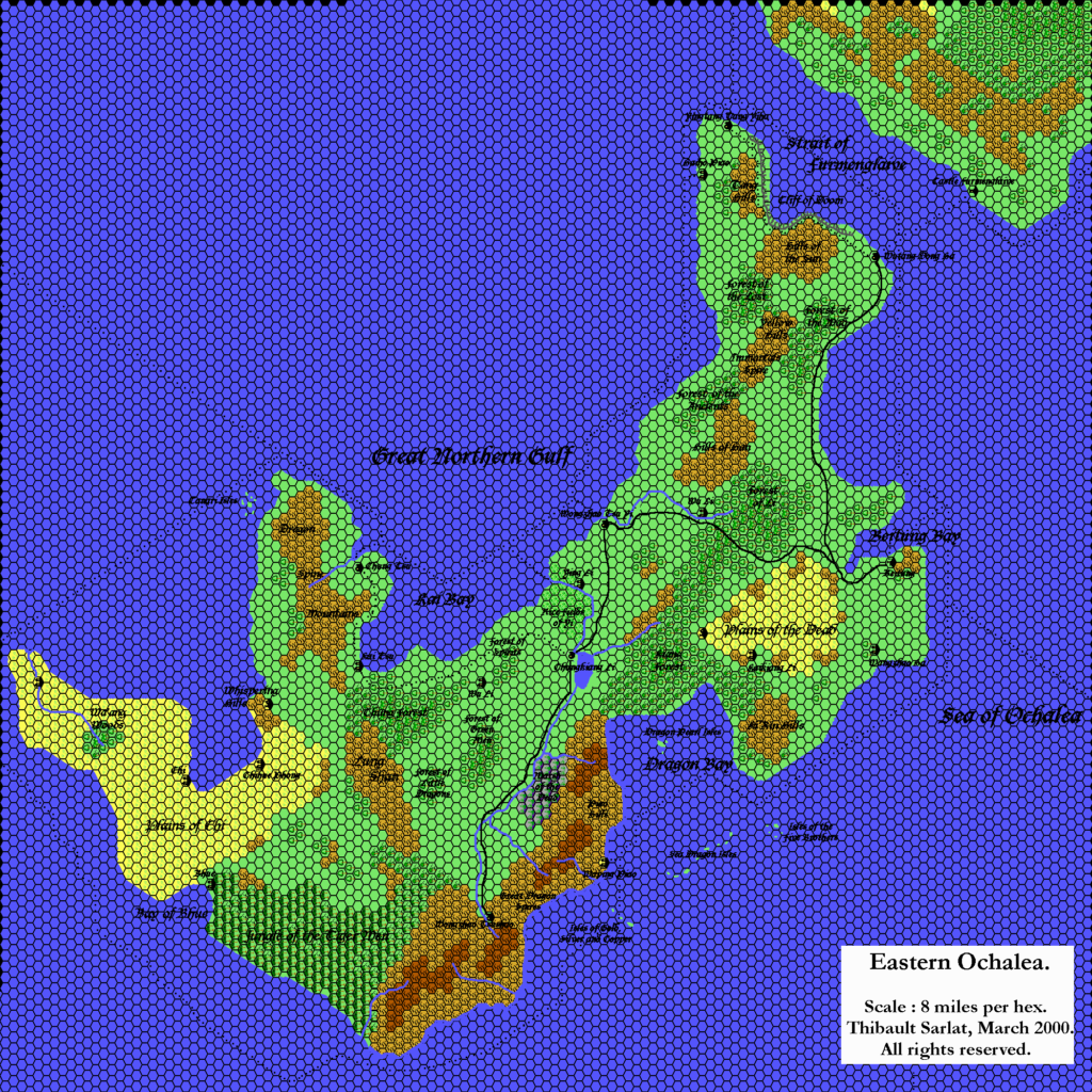
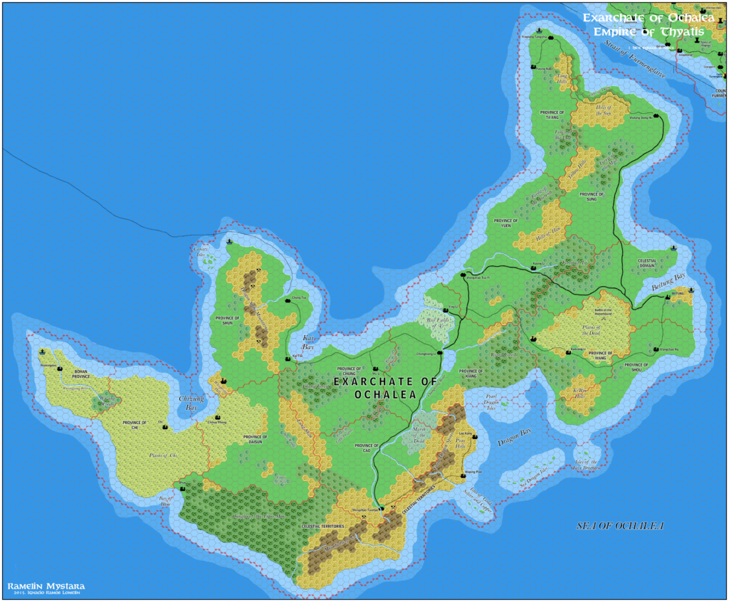
James’s designs for Ochalea added much to the existing map included in Dawn of the Emperors, and his work would serve as a base line for later fan developments, including Thibault Sarlat’s version soon afterwards, as well as John Calvin’s more than a decade later.
Fan-made Maps by James Mishler (September 1998)
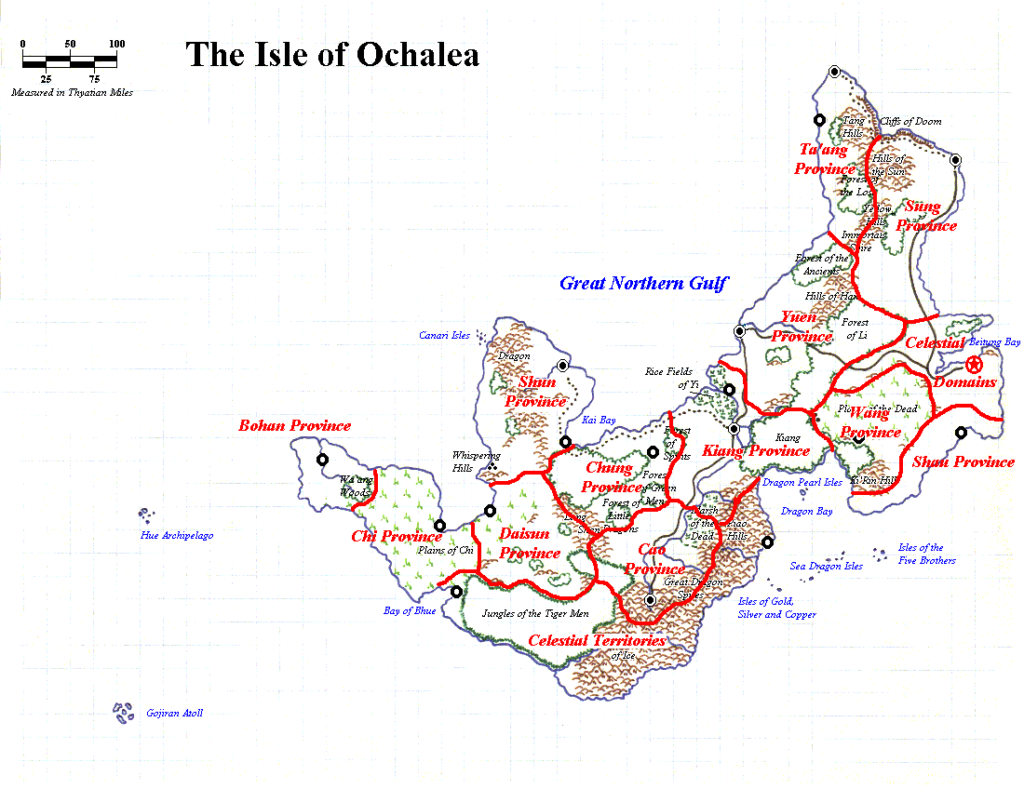
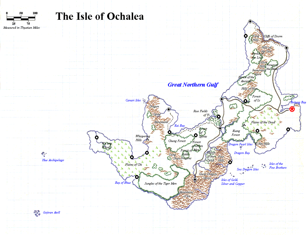
This is an original map created by one of Mystara’s excellent fan cartographers. For more information on the cartographer, including a gallery of all their maps, see also Appendix M: Mappers of Mystara.
Sources
- Dawn of the Emperors (1989) (PDF at DriveThruRPG)
Fan Sources
- Ochalean Gazetteer by James Mishler (October 1998) (Vaults of Pandius)
References
- All of James’s maps at the Atlas of Mystara
- James’s entry in Appendix M: Mappers of Mystara
- James’s author page at the Vaults of Pandius
Chronological Analysis
This is a fan-made map. It was published in September 1998. The updated Atlas version of this map is not yet available. See also Appendix C for annual chronological snapshots of the area. For the full context of this map in Mystara’s publication history, see the upcoming Let’s Map Mystara 1998. (Please note that it may be some time before the project reaches this point.)
The following lists are from the Let’s Map Mystara project. Additions are new features, introduced in this map. Revisions are changes to previously-introduced features. Hex Art & Fonts track design elements. Finally, Textual Additions are potential features found in the related text. In most cases, the Atlas adopts these textual additions into updated and chronological maps.
Coming Soon



14 March 2025 @ 7:22 am
I wonder if his original Japanese version is extant.