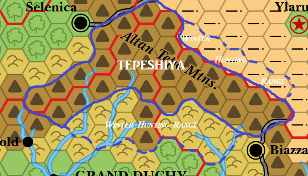
Mystaros’ Tepeshiya, 24 miles per hex
James’s most recent foray back into the Known World came in 2019, when he worked on a new setting of lost tribes in the Altan Tepe Mountains between Karameikos, Darokin, Ylaruam, and Thyatis. He named this region Tepeshiya, and detailed some of his thoughts on his blog.
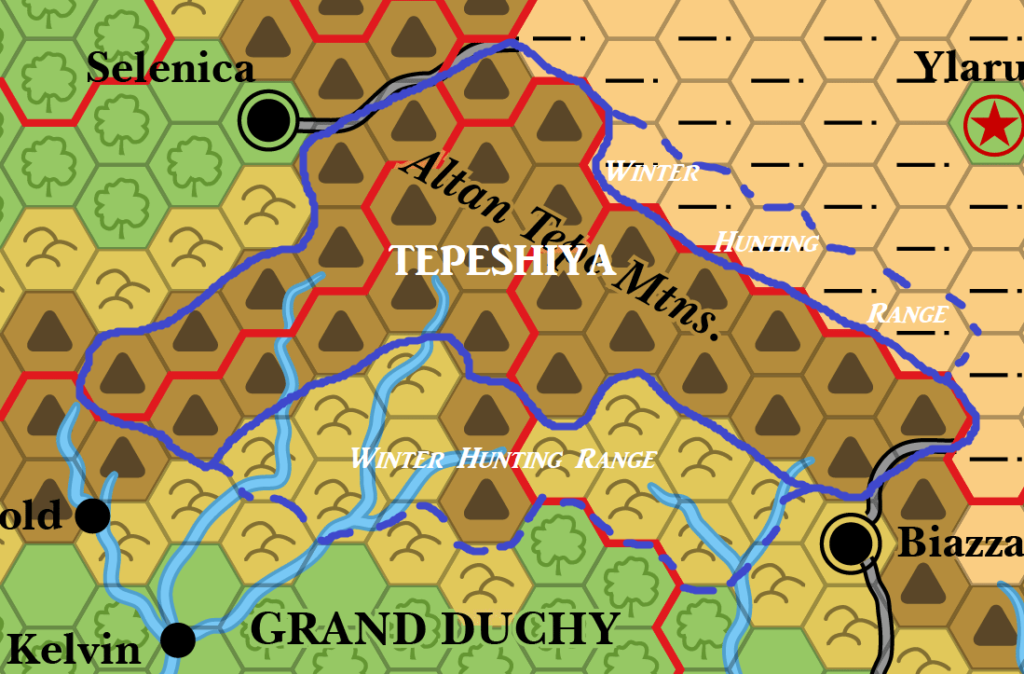
This map depicts the area overlaid on X1’s Known World map, at 24 miles per hex. “Winter Hunting Range” refers to the raids of the frost giants during the snowy winter months.
Fan-made Map by James Mishler (September 2019)
This is an original map created by one of Mystara’s excellent fan cartographers. For more information on the cartographer, including a gallery of all their maps, see also Appendix M: Mappers of Mystara.
Work in progress map: This map is incomplete. It appears here in the most recent state available, but it may be missing certain elements.
Sources
- Original Work
- X1 The Isle of Dread (1983) (PDF of 1981 version at DriveThruRPG)
Secondary Sources
- Altan Tepes and the Tepeshy at Adventures in Gaming v2
References
- All of James’s maps at the Atlas of Mystara
- James’s entry in Appendix M: Mappers of Mystara
- James’s author page at the Vaults of Pandius
Chronological Analysis
This is a fan-made map. It was published in 2019. The updated Atlas version of this map is not yet available. See also Appendix C for annual chronological snapshots of the area. For the full context of this map in Mystara’s publication history, see the upcoming Let’s Map Mystara 2019. (Please note that it may be some time before the project reaches this point.)
The following lists are from the Let’s Map Mystara project. Additions are new features, introduced in this map. Revisions are changes to previously-introduced features. Hex Art & Fonts track design elements. Finally, Textual Additions are potential features found in the related text. In most cases, the Atlas adopts these textual additions into updated and chronological maps.
Coming Soon


