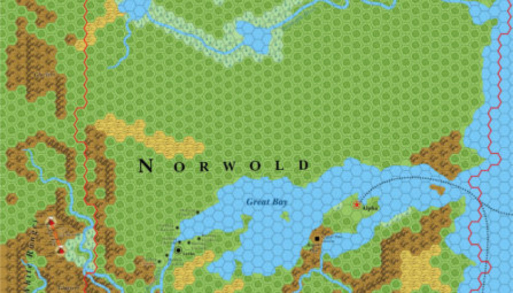
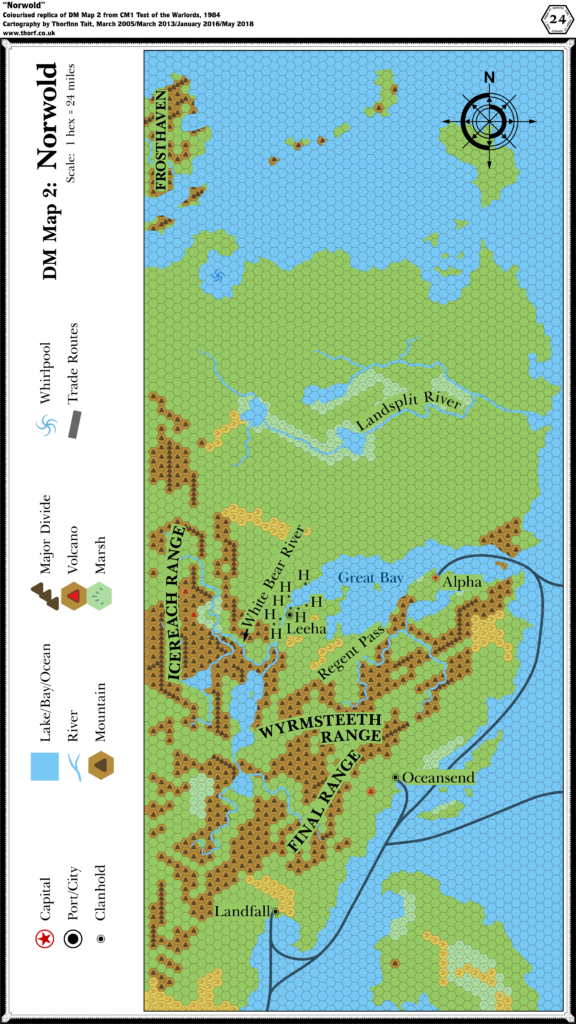
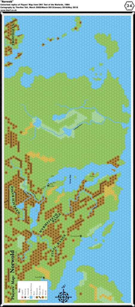
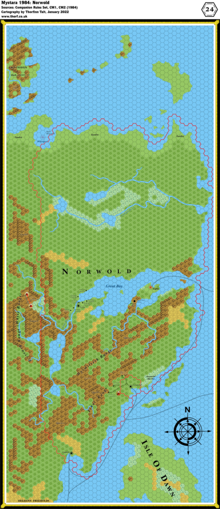
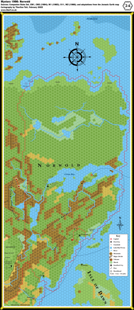
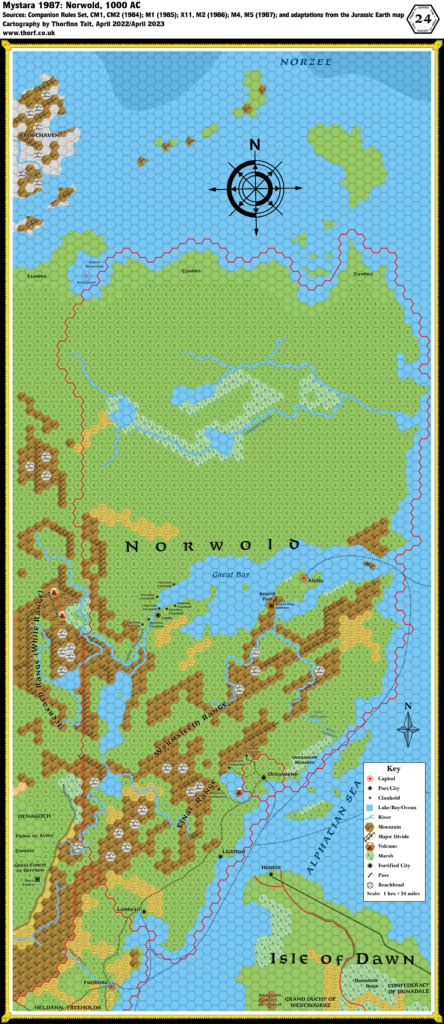
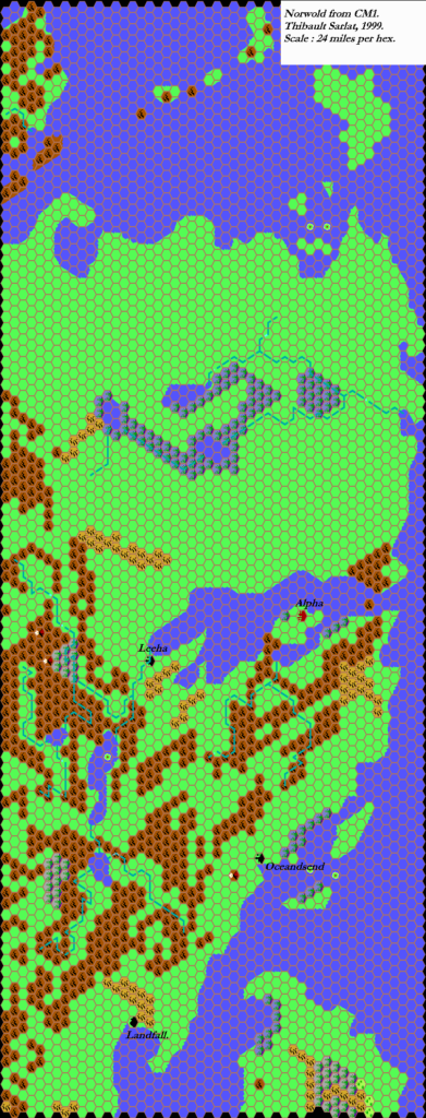
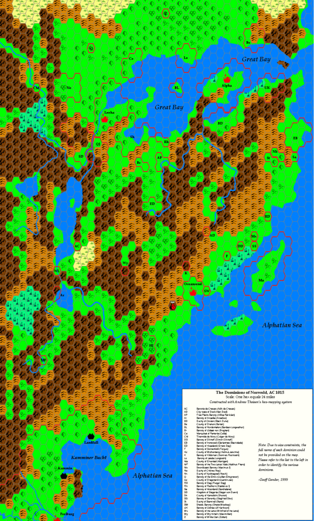
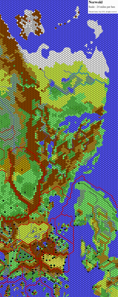
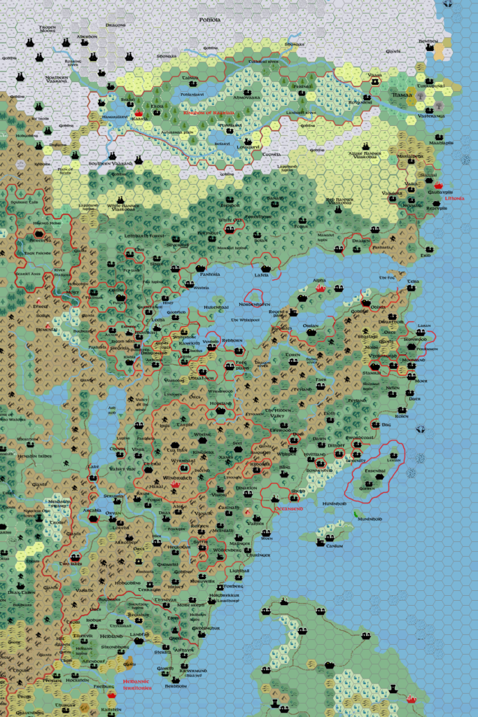
Norwold, 24 miles per hex (1985)
There were only two minor changes to Norwold in 1985: M1 provided a name for the northern sea, Norzee, and the Jurassic Earth map provided rough ocean depths in the same area. Otherwise, it’s identical to 1984’s Norwold.
Chronological Map (January 2022)
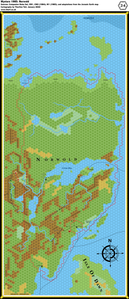
This map is part of the Mystara 1985 series of chronological maps. It is an updated map, incorporating all available sources and made internally consistent with other maps in its series. But it only uses sources published in or before 1985.
For more information, see Appendix C: Cartographic Chronology.
Sources
- Mystara 1984
- M1 Into the Maelstrom (1985) (PDF at DriveThruRPG)
Revisions
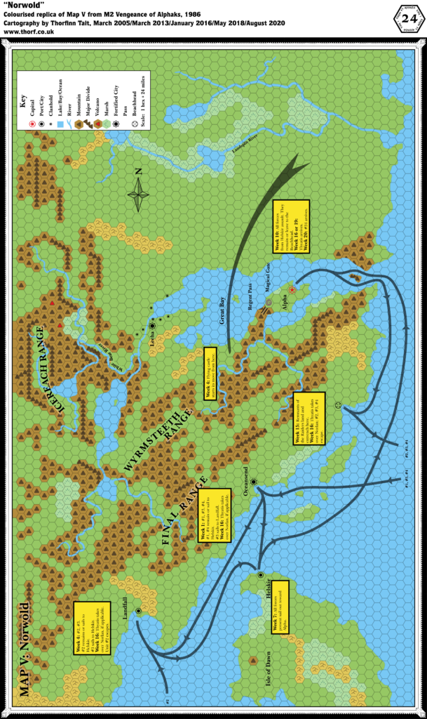
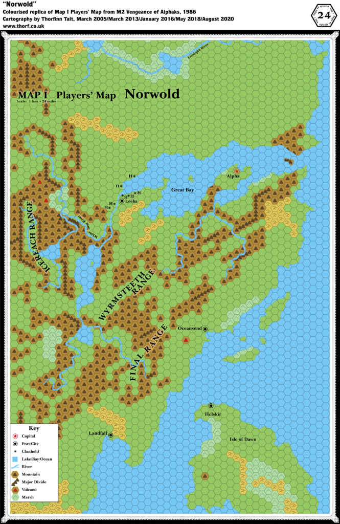
For detailed notes, see the posts for each individual source map at the links above.
- Depths — Rough depths from the Jurassic Earth map have been incorporated in the far north.
References
- Let’s Map Mystara 1985 — the original project thread for this map
- Let’s Map Mystara Together discussion thread at The Piazza (link leads to this map’s post)
- Norwold at the Vaults of Pandius

