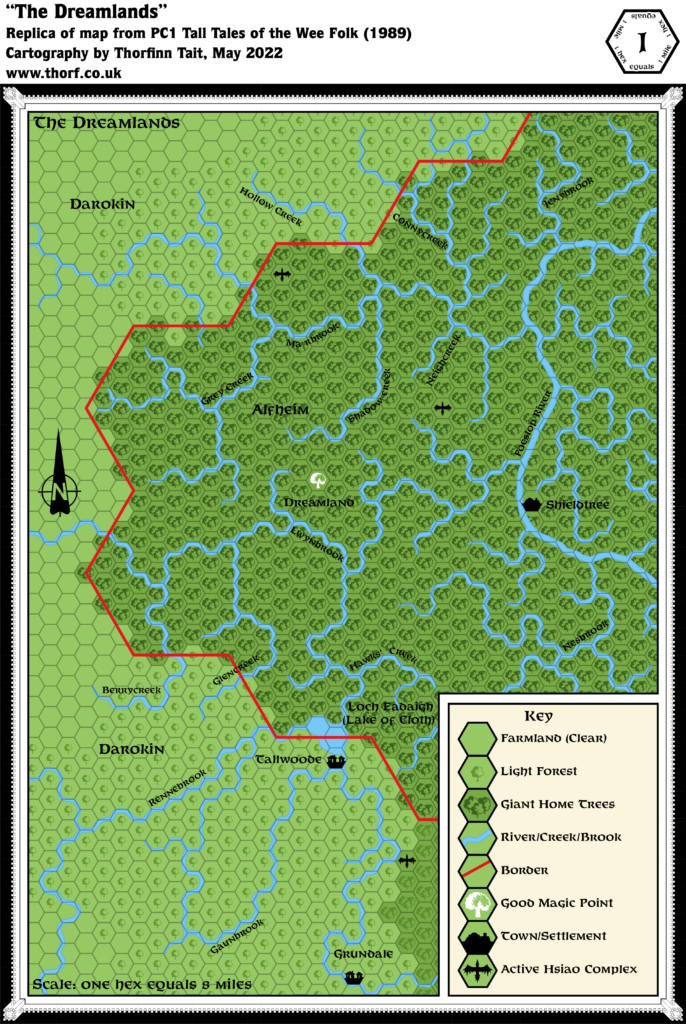
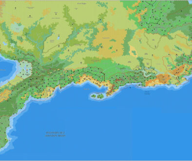
PC1 The Dreamlands, 1 mile per hex
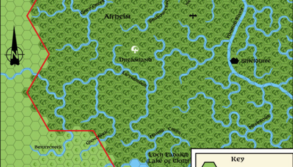
PC1 detailed a small section of western Alfheim centred around the Dreamland Good Magic Point. It didn’t really add a lot in the way of features, other than a couple of villages. Although the map was labelled 8 miles per hex, that clearly applies to the macro hexes sketched out by the border; the smaller grid is most certainly 1 mile hexes.
The main innovation of the map is the new symbol for Active Hsiao Complexes. This was only ever used on this map. The other peculiarity is the map’s rivers, which mostly follow the hex grid closely. The Foestop River originated in GAZ5, while most of the smaller tributaries are new here. Some of them are a bit strange — most notably the unconnected fragment in the top left.
Replica Map (May 2022)
Sources
- PC1 Tall Tales of the Wee Folk (1989) (PDF at DriveThruRPG)
- Cover gatefold map (Cartography by Dennis Kauth and Steve Sullivan)
Chronological Analysis
This is Map 125. It was published in October 1989. The updated version of this map has not yet been released. See also Appendix C for annual chronological snapshots of the area. For the full context of this map in Mystara’s publication history, see Let’s Map Mystara 1989.
The following lists are from the Let’s Map Mystara project. Additions are new features, introduced in this map. Revisions are changes to previously-introduced features. Hex Art & Fonts track design elements. Finally, Textual Additions are potential features found in the related text. In most cases, the Atlas adopts these textual additions into updated and chronological maps.
Coming Soon

