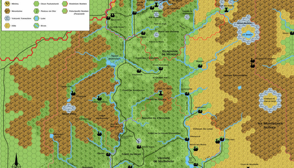
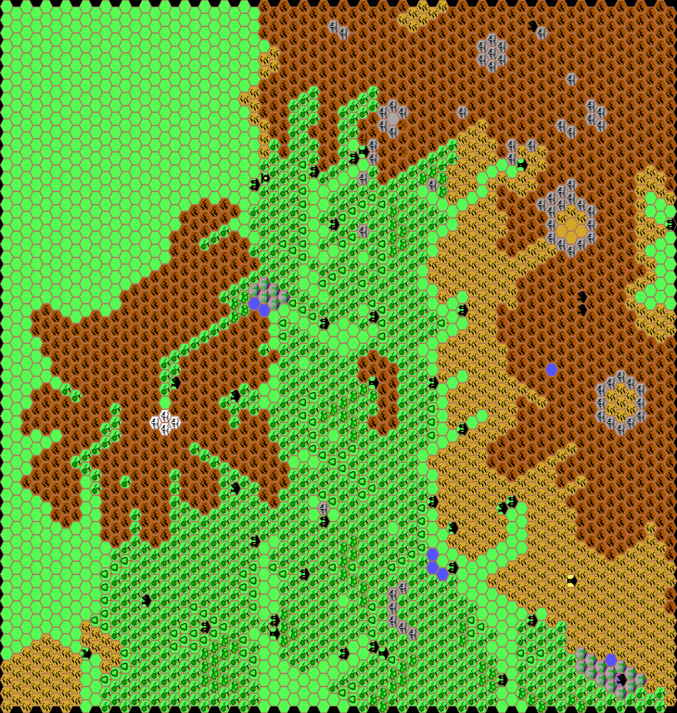
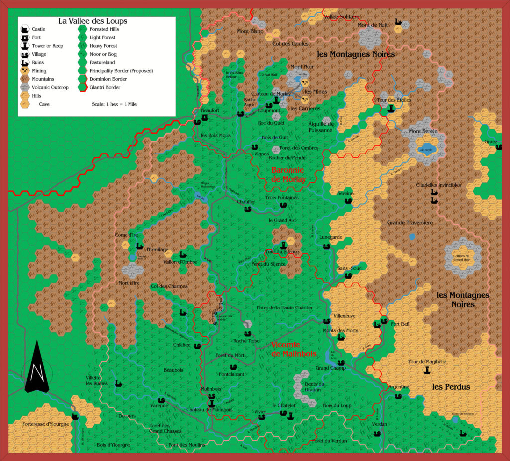
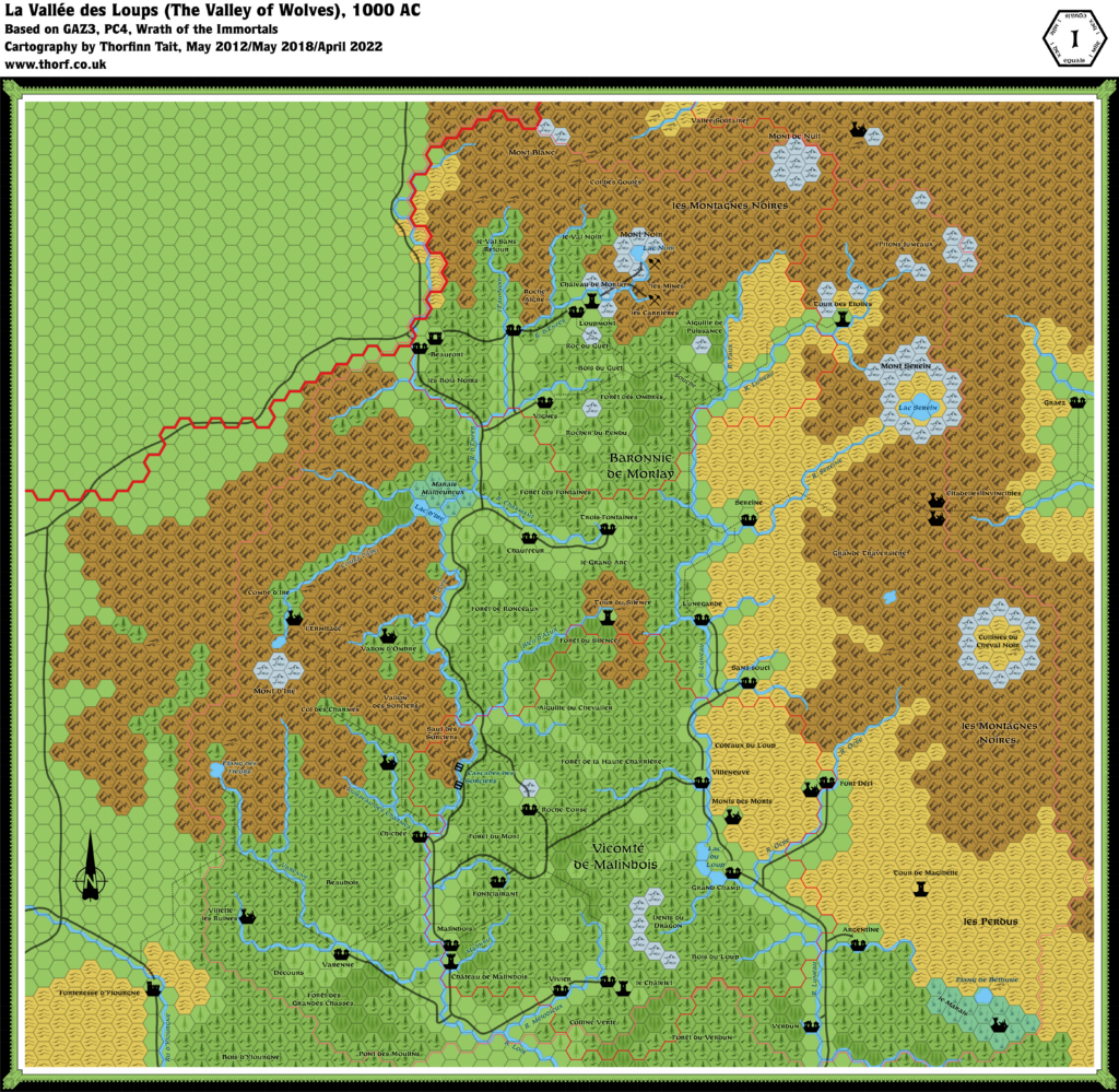
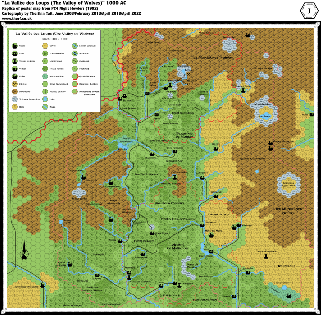
PC4 La Vallée des Loups, 1 mile per hex
PC4 introduced the only 1 mile per hex poster map that would ever appear in official publications. It wasn’t the first map made at this scale, but it was the first to cover such a wide area at this level of detail.
This super-large scale map delves into the area of Morlay-Malinbois, the eponymous “Valley of Wolves”. It’s a fundamentally different beast from the usual 8 mile hex maps, providing a wealth of detail that would be impossible at a smaller scale.
The pioneering 1 mile per hex scale was later taken up by fan cartographers, most notably the work of Robin, and for Glantri Emanuele Betti and of course Michael Berry — both of whom were inspired to expand this map to cover the whole nation at this scale.
Replica Map (April 2022)
Sources
- PC4 Night Howlers (1992) (PDF at DriveThruRPG)
- Poster map (Cartography by Diesel)
Chronological Analysis
This is Map 211. It was published in October 1992. The updated version of this map is La Vallée des Loups, 1 mile per hex. See also Appendix C for annual chronological snapshots of the area. For the full context of this map in Mystara’s publication history, see Let’s Map Mystara 1992.
The following lists are from the Let’s Map Mystara project. Additions are new features, introduced in this map. Revisions are changes to previously-introduced features. Hex Art & Fonts track design elements. Finally, Textual Additions are potential features found in the related text. In most cases, the Atlas adopts these textual additions into updated and chronological maps.
Under Construction! Please check back again soon for updates.

