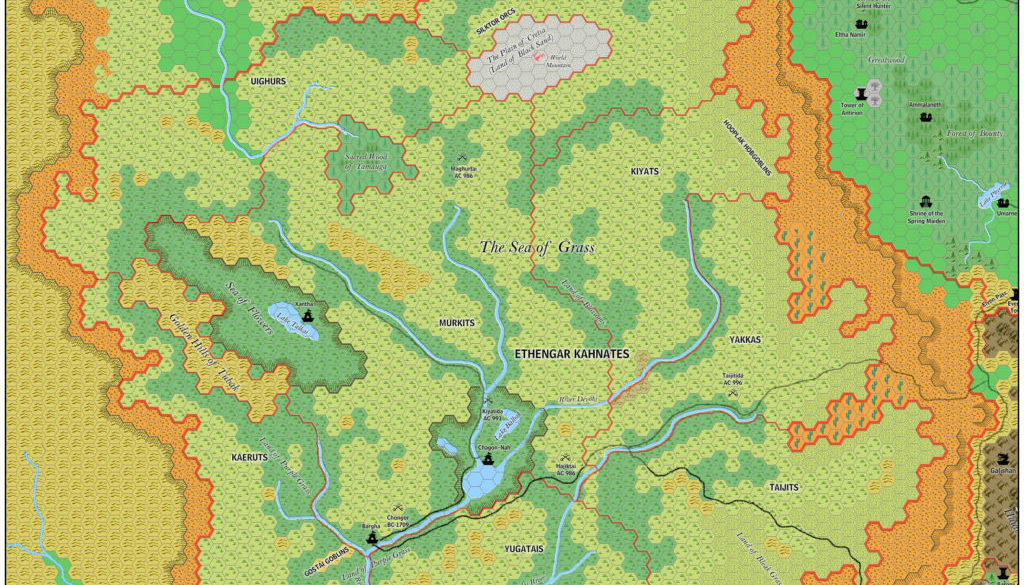
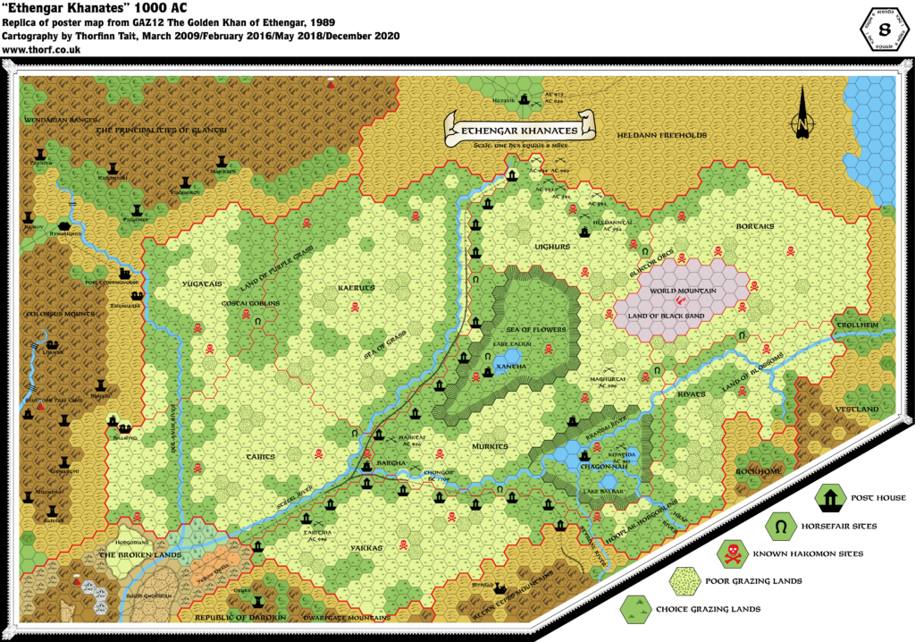
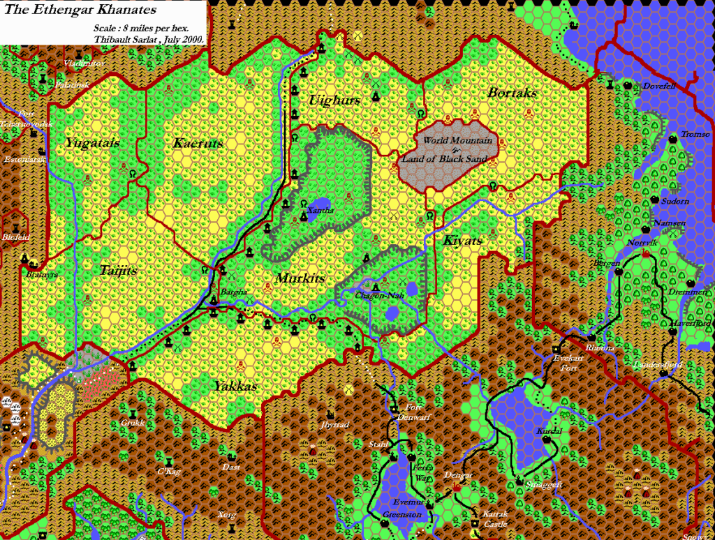
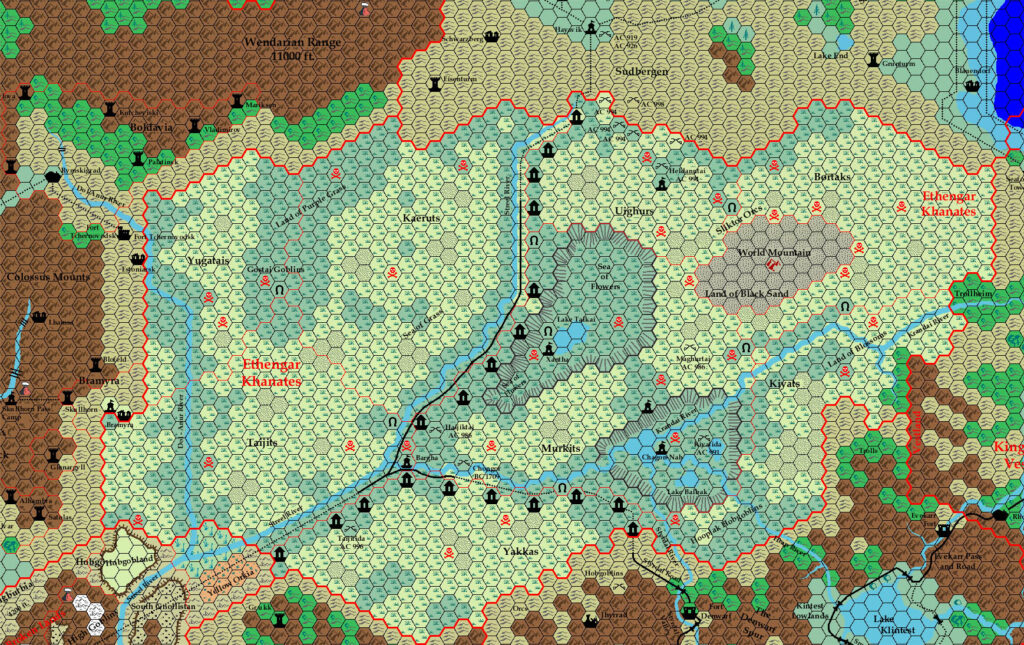
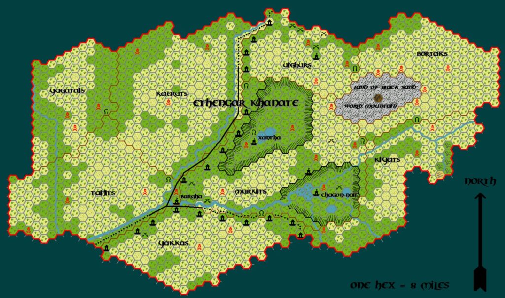
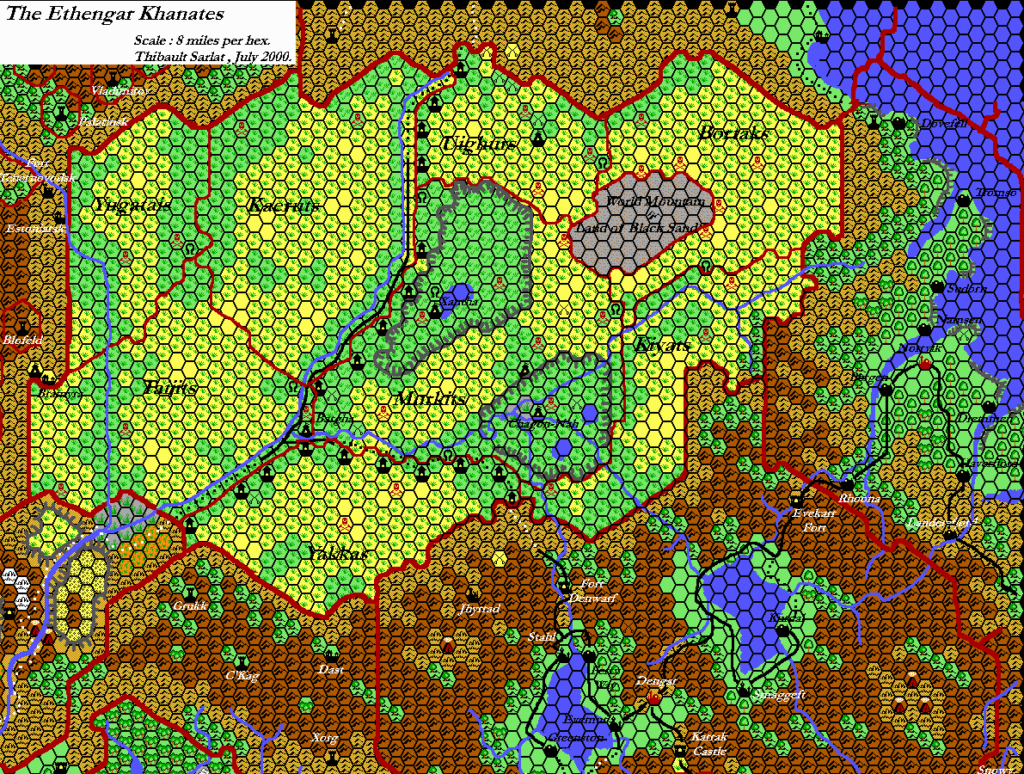
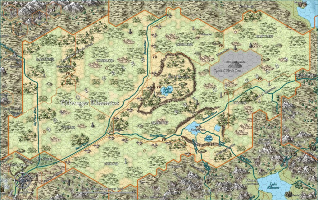
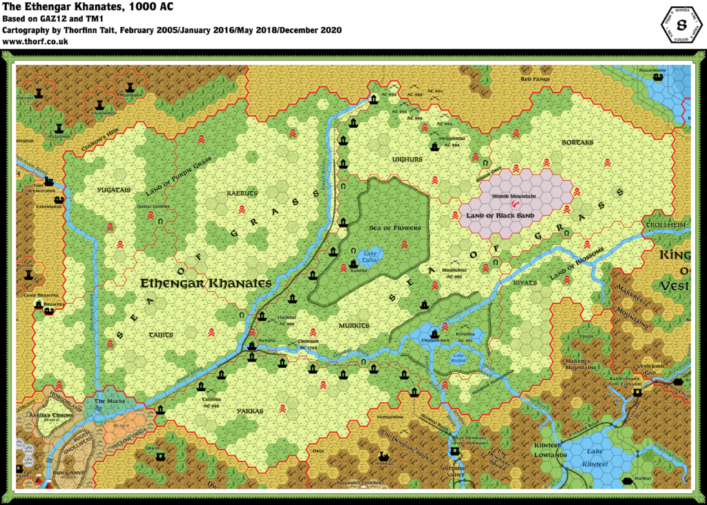
Ramelin’s Ethengar, 8 miles per hex v1
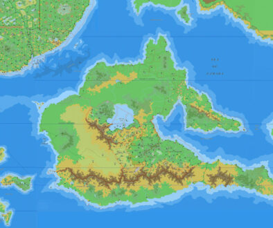
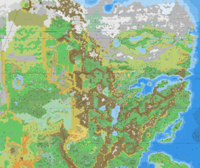
November 2015 was a momentous month for Jose’s project, as he finalised more than thirty individual maps over a couple of days. The first set covered most of the Known World, while the second finished that off and then moved west to cover the Serpent Peninsula and the Savage Coast.
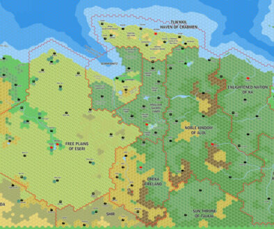
This map from the second set continued to deal with the western borders of the Known World. As far as I can see, Jose never produced a stand-alone version of his original Ethengar map, although parts of it are visible on maps of surrounding nations. This was therefore his first full Ethengar map, but it depicts his alternate view of an Ethengar shifted up onto the Adri Varma Plateau rather than the original Ethengar. In doing this, he expanded the nation, giving the horse lords more space, as well as an area of natural expansion to the northwest.
Fan-made Map by Jose Ignacio Ramos Lomelin (November 2015)
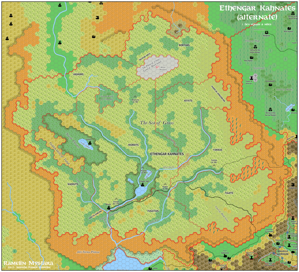
This is an original map created by one of Mystara’s excellent fan cartographers. For more information on the cartographer, including a gallery of all their maps, see also Appendix M: Mappers of Mystara.
Sources
- GAZ12 The Golden Khan of Ethengar (1989) (PDF at DriveThruRPG)
References
- All of Jose’s maps at the Atlas of Mystara
- Jose’s entry in Appendix M: Mappers of Mystara (upcoming)
- Jose’s author page at the Vaults of Pandius
Chronological Analysis
This is a fan-made map. It was published in November 2015. The updated Atlas version of Ethengar is Ethengar, 8 miles per hex. See also Appendix C for annual chronological snapshots of the area. For the full context of this map in Mystara’s publication history, see the upcoming Let’s Map Mystara 2015.
The following lists are from the Let’s Map Mystara project. Additions are new features, introduced in this map. Revisions are changes to previously-introduced features. Hex Art & Fonts track design elements. Finally, Textual Additions are potential features found in the related text. In most cases, the Atlas adopts these textual additions into updated and chronological maps.
Coming Soon

