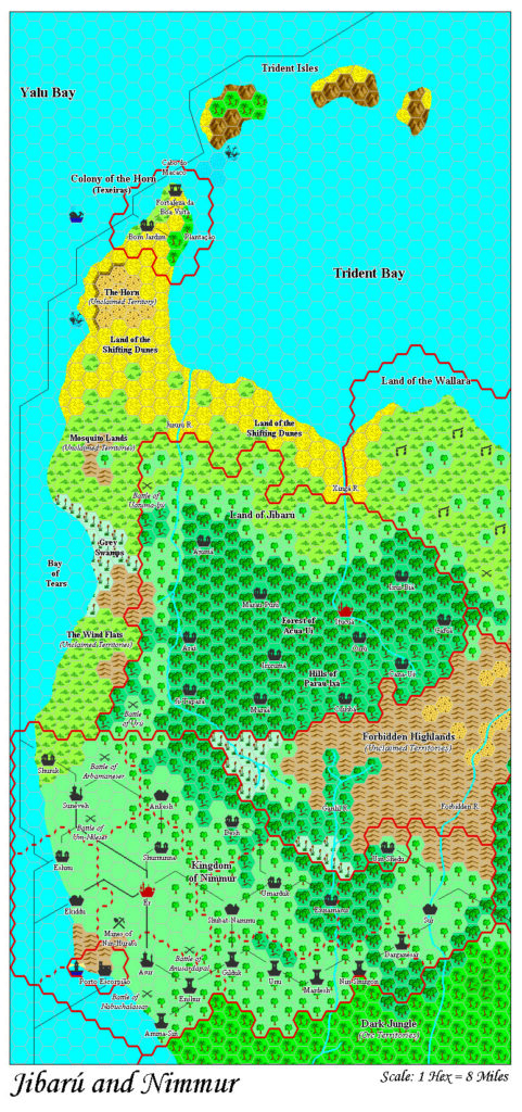
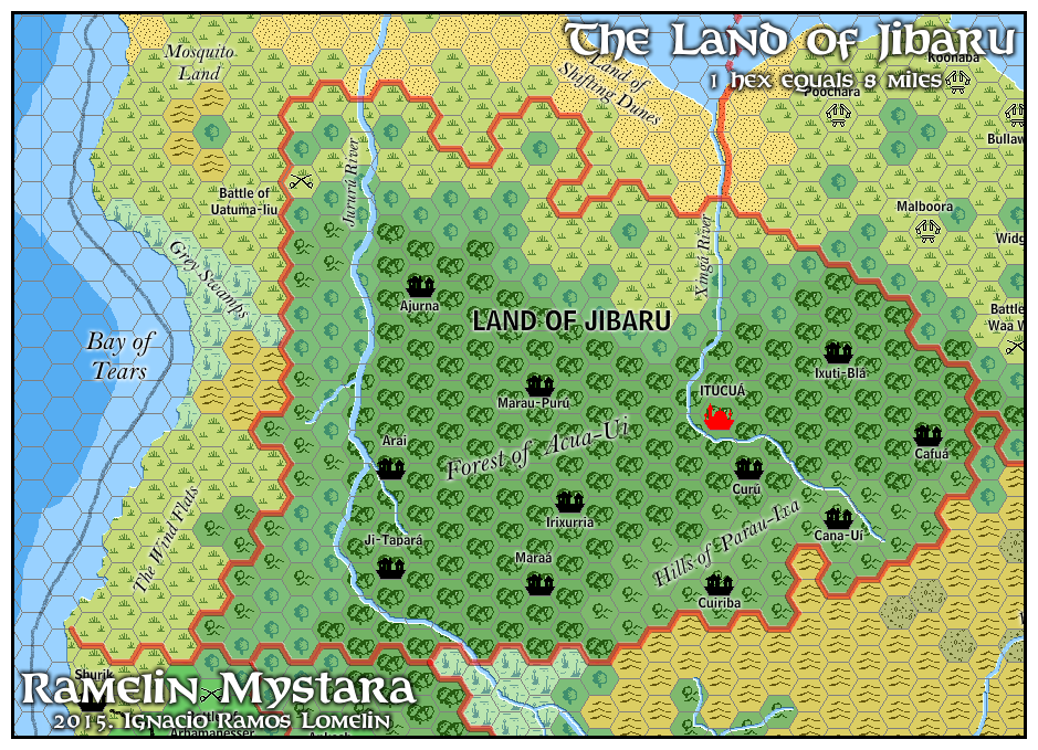
Ramelin’s Jibarú, 8 miles per hex
After sharing a set of maps including Kaarjala, Kavkaz and Blackheart in late January 2016, Jose next turned his sights to the Savage Coast area. In early February he finalised four maps of the area, although he only posted one to his Pinterest page.
The phanaton nation of Jibarú was the first of these. As with most of his Savage Coast maps, Jose changed little from the original Voyage of the Princess Ark maps he was adapting. This is not a surprise, because in general Jose’s additions to maps for Ramelin Mystara tended to focus on areas with little development, which could not be said of the always rather dense Princess Ark maps.
Fan-made Map by Jose Ignacio Ramos Lomelin (February 2016)
This is an original map created by one of Mystara’s excellent fan cartographers. For more information on the cartographer, including a gallery of all their maps, see also Appendix M: Mappers of Mystara.
Sources
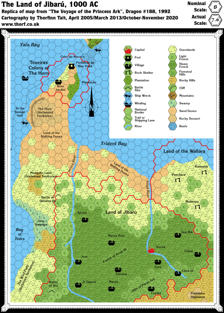
- The Voyage of the Princess Ark Part 33: Lords of shade and hue, Dragon #186 (October 1992)
- The Voyage of the Princess Ark Part 35: The return home, Dragon #188 (December 1992)
- The Known World Grimoire: The sting and the sun, Dragon #192 (April 1993) (HTML version at Vaults of Pandius)
- Red Steel (1994) (PDF at DriveThruRPG)
- Trident Bay
Fan Sources
- None
References
- All of Jose’s maps at the Atlas of Mystara
- Jose’s entry in Appendix M: Mappers of Mystara (upcoming)
- Jose’s author page at the Vaults of Pandius
Chronological Analysis
This is a fan-made map. It was published in February 2016. The updated Atlas version of this map is not yet available. See also Appendix C for annual chronological snapshots of the area. For the full context of this map in Mystara’s publication history, see the upcoming Let’s Map Mystara 2016.
The following lists are from the Let’s Map Mystara project. Additions are new features, introduced in this map. Revisions are changes to previously-introduced features. Hex Art & Fonts track design elements. Finally, Textual Additions are potential features found in the related text. In most cases, the Atlas adopts these textual additions into updated and chronological maps.
Revisions
- Coastline — As usual for his maps, Jose roughened the coastlines slightly.
- Sea Depths — Red Steel included two stages of deeper water around the coasts. Jose’s depths are similar to these overall, but they don’t match, especially in small details.
- Shipping Lanes — Although Red Steel featured a shipping lane passing the Bay of Tears, it avoided entering the bay itself. Jose has changed the course to make it hug the coast more tightly.
- Spelling — Jose made the following changes to spelling from the original maps. In all likelihood most of these were errors rather than deliberate choices; the Dragon maps were always a little hard to read, especially from the low resolution scans available online.
- Ajumá became Ajurna.
- Araí became Arai.
- Battle of Arbamaneser became Battle of Arbamanesser.
- Battle of Uatuma-Ijú became Battle of Uatuma-Iiu.
- Cuiribá became Cuiriba.
- Forest of Acua-Uí became Forest of Acua-Ui.
- Hills of Parau-Ixá became Hills of Parau-Ixa.
- Irixumá became Irixurria.
- Ixui-Biá became Ixuti-Blá.
- Jibarú became Jibaru.
- Land of the Shifting Dunes became Land of Shifting Dunes.
- Shuruk became Shurik.
Hex Art & Fonts
- Hex Art — Ramelin Mystara standard.
- Fonts — Bell MT (major geographic and all water labels), Bell Centennial (all other labels), Feinen (titling).