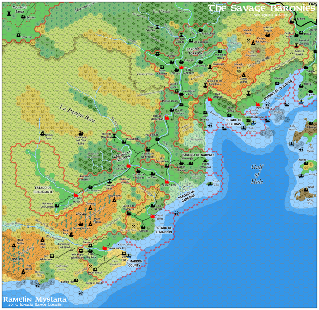
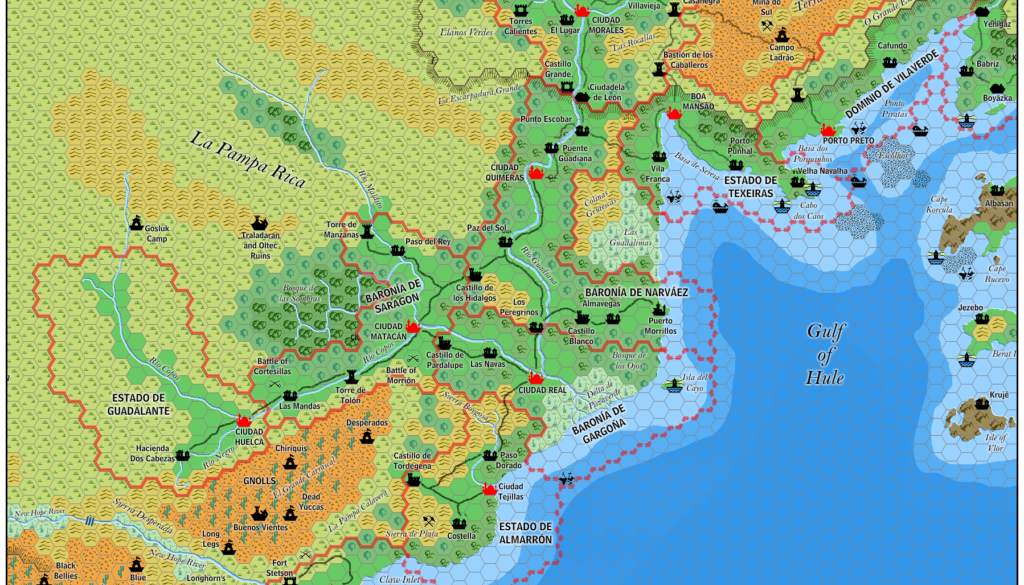
Ramelin’s Savage Baronies, 8 miles per hex
November 2015 was a momentous month for Jose’s project, as he finalised more than thirty individual maps over a couple of days. The first set covered most of the Known World, while the second finished that off and then moved west to cover the Serpent Peninsula and the Savage Coast.
Continuing the second set, Jose moved west along the Savage Coast. As with his City States map, we can see parts of Christian Constantin’s Hule appearing in the corners of the map. The Baronies themselves, of course, remain much as they appeared in Dragon Magazine — they were always pretty well detailed, after all.
Fan-made Map by Jose Ignacio Ramos Lomelin (November 2015)

This is an original map created by one of Mystara’s excellent fan cartographers. For more information on the cartographer, including a gallery of all their maps, see also Appendix M: Mappers of Mystara.
Sources
- The Voyage of the Princess Ark Part 21: The Savage Baronies, Dragon 174 (October 1991)
- The Voyage of the Princess Ark Part 22: Arsenic and old mantillas, Dragon 175 (November 1991)
- The Voyage of the Princess Ark Part 23: Shoutout at South Gulch, Dragon 176 (December 1991)
Fan Sources
- Christian’s Hule, 8 miles per hex
- Hulean Gaz Chapter 1: Geography (Vaults of Pandius) by Christian Constantin
References
- All of Jose’s maps at the Atlas of Mystara
- Jose’s entry in Appendix M: Mappers of Mystara (upcoming)
- Jose’s author page at the Vaults of Pandius
Chronological Analysis
This is a fan-made map. It was published in November 2015. The updated Atlas version of this map is not yet available. See also Appendix C for annual chronological snapshots of the area. For the full context of this map in Mystara’s publication history, see the upcoming Let’s Map Mystara 2015. (Please note that it may be some time before the project reaches this point.)
The following lists are from the Let’s Map Mystara project. Additions are new features, introduced in this map. Revisions are changes to previously-introduced features. Hex Art & Fonts track design elements. Finally, Textual Additions are potential features found in the related text. In most cases, the Atlas adopts these textual additions into updated and chronological maps.
Coming Soon


