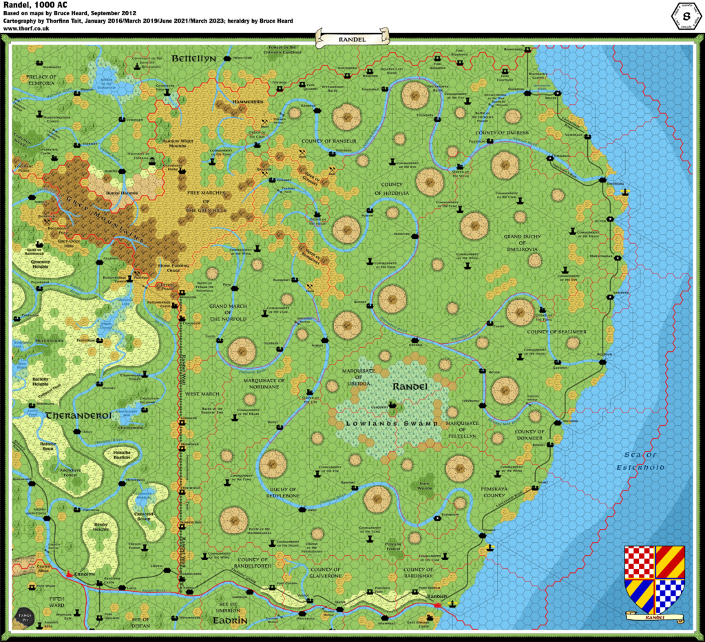
Randel, 8 miles per hex
A curious geological feature strikes first-time visitors. Seen from an airship at a high altitude, a pattern of mesas makes the land look as if it were covered with giant bubbles. These formations are arid, porous, and filled with caverns. Rocky spires tower above larger mesas, like giant spires. Seen from the land, the formations’ flat tops become more revealing as to their fauna. With some patience and a bit of luck, one may observe a giant, bat-winged creature taking off in search of a meal. Although originally called randels (a play on the word “roundel,”) these mesas became better known as dragon crags. This most curious topography brought about the creation of this realm and its social makeup.
from Bruce Heard’s The Alphatian Province of Randel
Map (March 2023)

Sources
- The Empire of Alphatia, 24 mile per hex poster map from Dawn of the Emperors (1989)
- Randel, 8 mile per hex map by Bruce Heard
Notes
As with all his Alphatia 8 mile per hex maps, Bruce Heard added a great deal of detail and character to the region when converting from 24 miles per hex. The Atlas considers Bruce’s map to be the definitive source for Randel.
There are two more instances of river bifurcation in this map. Perhaps the Alphatians enjoy splitting their rivers as a matter of aesthetics.
References
First published 13th January 2016.


3 January 2019 @ 3:21 am
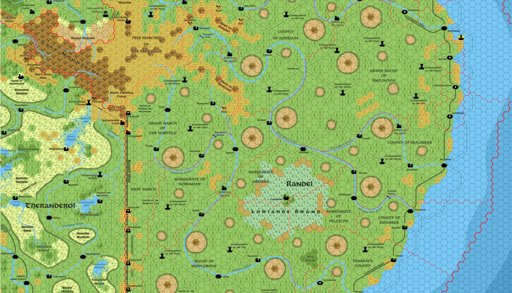
You have an empty space where the (city? town? village?) of Hoddives should be. The only reason one knows it’s there is the label and the trails leading to it.
21 March 2019 @ 6:54 pm
Great catch! Thank you so much!
Seriously, these maps were so dense, I’m sure there are other mistakes or omissions. Please don’t hesitate to point them out if you find any more.