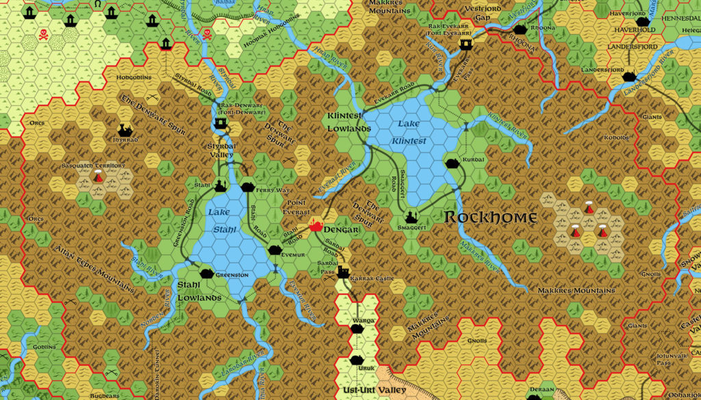
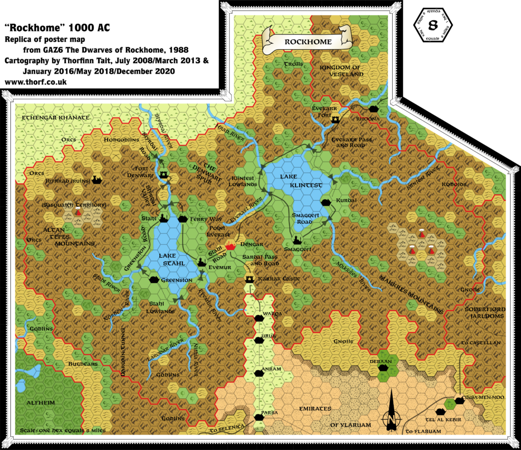
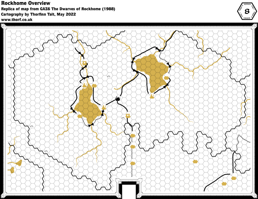
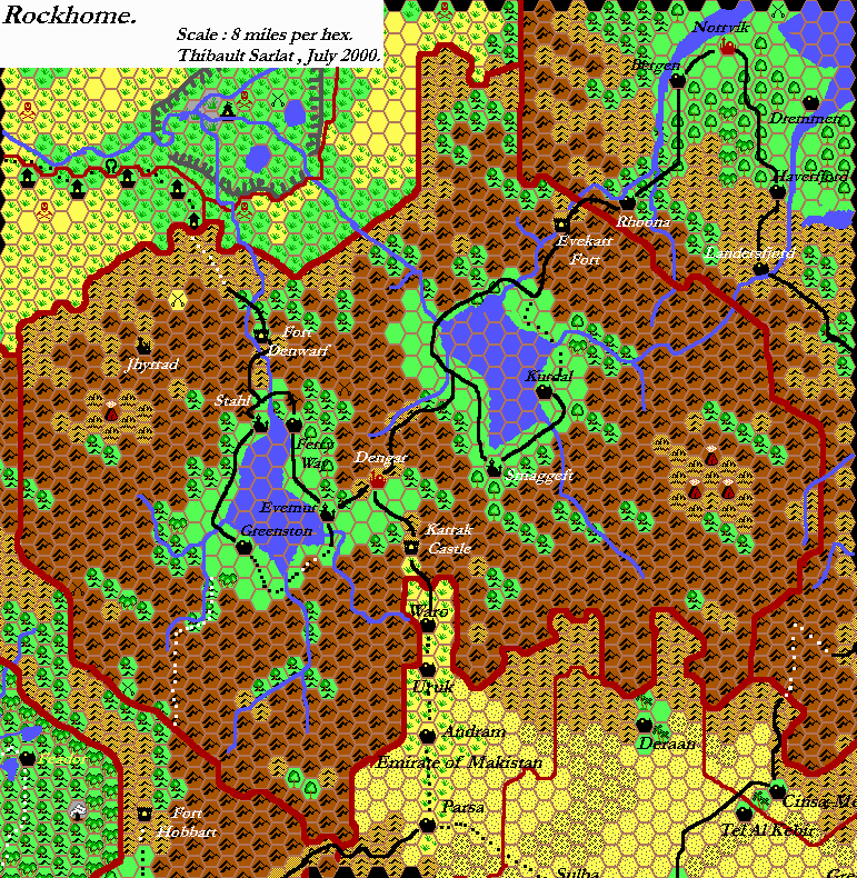
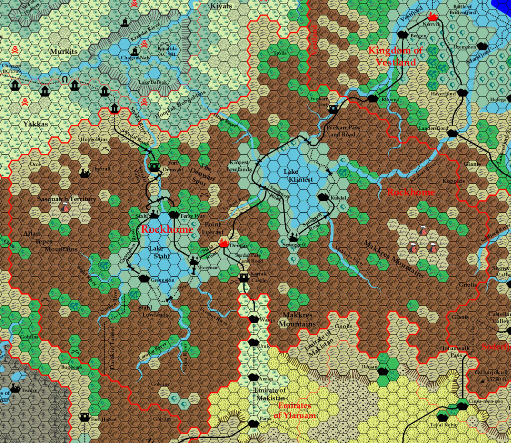
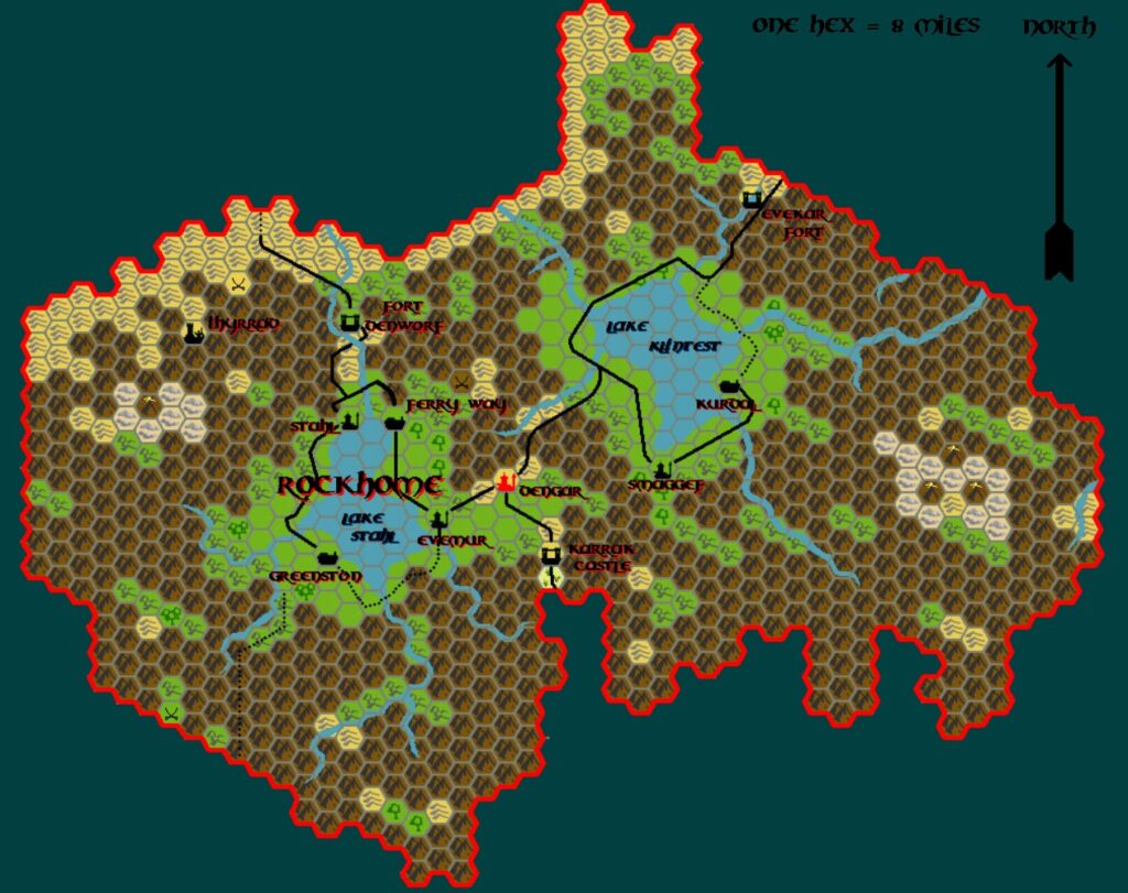
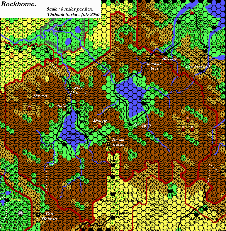
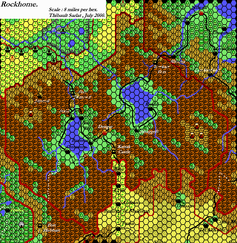
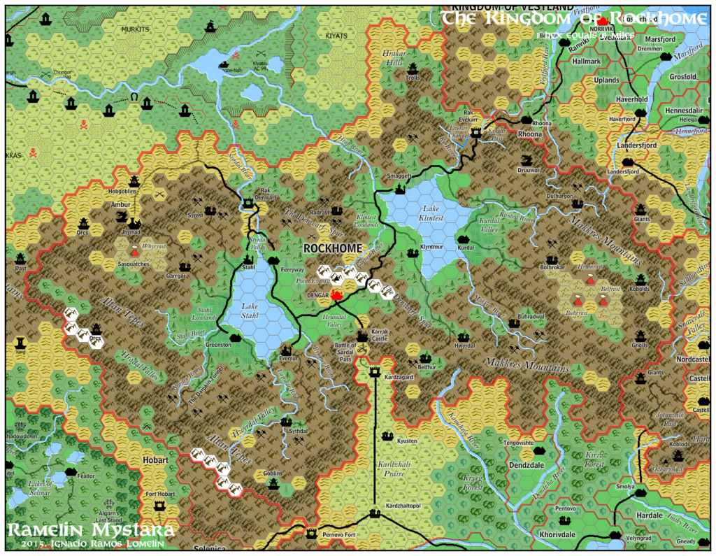
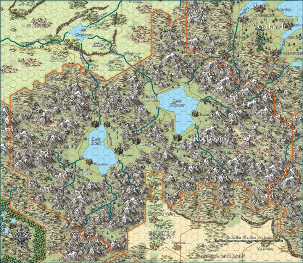
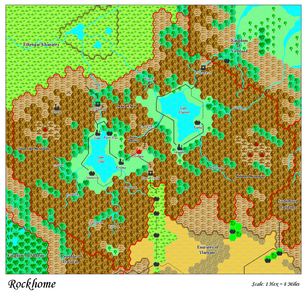
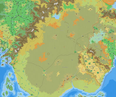
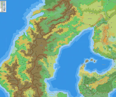
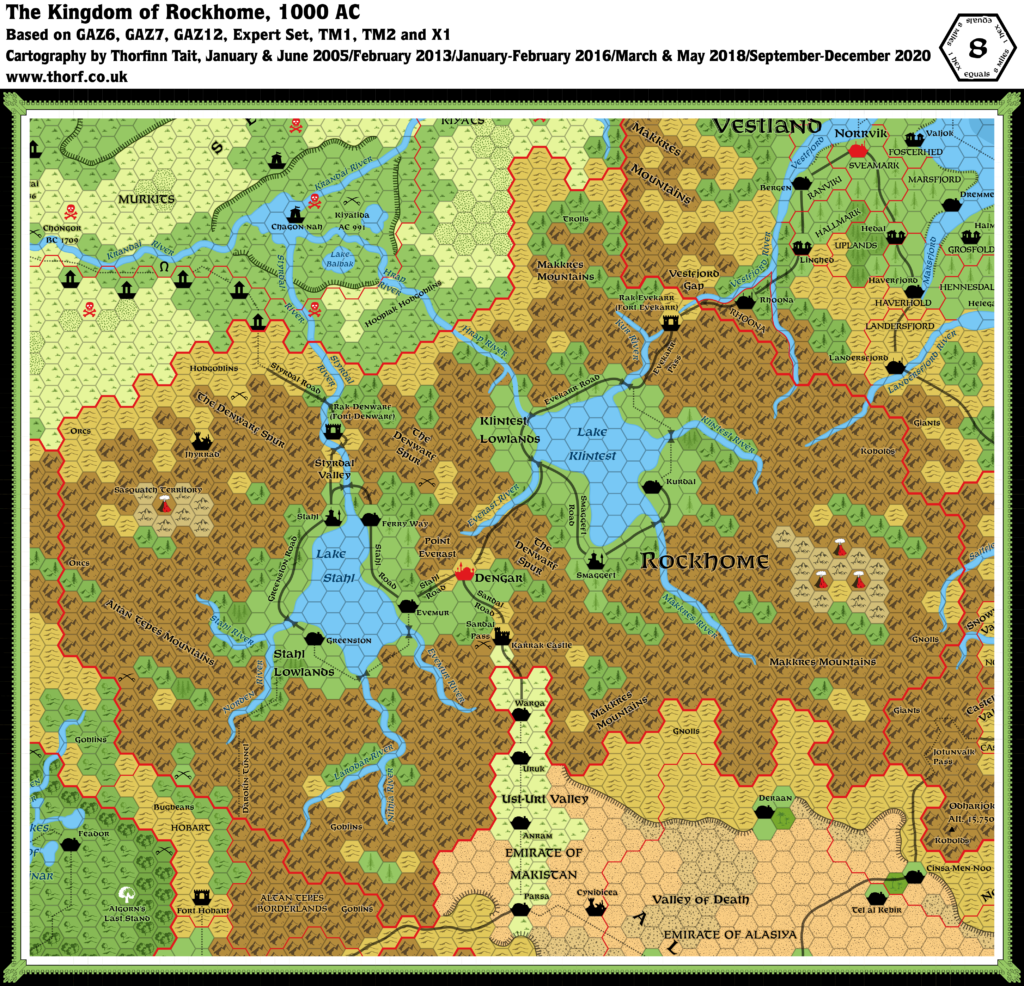
Rockhome, 8 miles per hex
Though the human eye first notices the land’s natural beauties, it is the nation’s mineral resources which endear it to the dwarven inhabitants. The mountains are riddled with caves and extensive cavern networks, the preferred homes of the dwarves, and are rich in various metal ores.
Additionally, the rough and rocky nature of the land — there are only three major roads which enter Rockhome, all along easily-defended mountain passes — makes Rockhome easy to defend. Standing garrisons, and in some places the terrible winters, keep the nation safe from invasion.
from GAZ6 The Dwarves of Rockhome, by Aaron Allston
Map (December 2020)
Sources
- GAZ6 The Dwarves of Rockhome (1988) (PDF at DriveThruRPG)
- GAZ7 The Northern Reaches (1988) (PDF at DriveThruRPG)
- GAZ12 The Golden Khan of Ethengar (1989) (PDF at DriveThruRPG)
- TM1 The Western Countries (1989)
- TM2 The Eastern Countries (1989)
- Rules Cyclopedia (1991) (PDF at DriveThruRPG)
- Dungeons & Dragons Expert Rules Set (1983) (PDF at DriveThruRPG)
- X1 The Isle of Dread (1981) (PDF at DriveThruRPG)
Comments
The most mountainous realm of the Known World, Rockhome suffers slightly from the flat portrayal of mountains in the hex map format. It encompasses the Denwarf Spur, a range nestled between the Altan Tepes and the Makkres Mountains. It also, of course, suffers from the lack of an underground map.
Another problem is river and lake bifurcation, notably around Lake Klintest and three of its rivers, the Hrap, the Kur and the Klintest. The updated map solves references X1’s Known World map to solve these problems.
Notes
- Evekarr Road — TM1 has this road in the mountains. GAZ6’s original position on the shore of Lake Klintest seems more likely.
- Everkarr Pass & Road — this caption was misspelled as Evekar Pass & Road in TM1. The error was carried over onto TM2. The Atlas goes with GAZ6’s Evekarr.
- Evemur — this settlement is marked as a city on all official maps, but GAZ6 (page 55a) lists its population as standing at 12,000. This would make it a large town. The text twice refers to it as a city, but the same is true of other settlements detailed in GAZ6, such as Kurdal (population 2,000) which is also repeatedly called a city. It seems clear that Evemur should be marked as a town.
- Hrap River — GAZ6’s description of Lake Klintest makes it sound like this river is a tributary of Lake Klintest, whereas in fact it appears to be the lake’s main outflow. The original X1/Expert Set Known World map confirms this. GAZ6 adds a source for the river, without indicating which way the river was intended to be flowing — whether it bifurcates at the source, and flows into Lake Klintest; or the source simply joins the river flowing northwest into Ethengar. The Atlas considers the Hrap to be Lake Klintest’s only outflow, with the source as a small tributary to the northward-flowing Hrap.
- Klintest River — GAZ6’s map had this river bifurcating shortly after its source, with courses flowing both east and west. This was reproduced in all later maps, including GAZ7 and TM2. However, reference to the original Known World map in X1/Expert Set shows that this river was never meant to be connected to the river flowing east into Vestland. The updated map therefore cuts this link, reverting the Klintest River into its X1/Expert Set form. (See also the entry for Landsfjord River in the Northern Reaches updated map.)
- Kur River — described in GAZ6 but not labelled on the map, nor on TM1. However it was marked on GAZ7. GAZ6 has this river bifurcating shortly after the source, with the Kur flowing southwest into Lake Klintest, and the Vestfjord flowing northeast into Vestland. However, as with the Klintest River, an examination of X1/Expert Set‘s Known World map shows that the Kur was never meant to join with the Vestfjord. Furthermore, GAZ6’s map actually has an unexplained gap in the river at the point of Fort Evekarr, such that the rivers are not actually seen to be joined. Therefore the Atlas considers the Kur and Vestfjord rivers to be separate.
- Makkres Mountains altitude — “To the east [of Ethengar], the Makkres range towers up to a height of 15,000 feet”. (GAZ12 DM’s Guide page 6a)
- Northern Rockhome — near the Trolls label on GAZ6’s map, TM1 has a clear hex where GAZ6 has a forested hill hex. Forested hills seem more consistent with the surrounding terrain.
- Styrdal Road — GAZ12 adjusted the location of this road so that it enters Ethengar about 16 miles west of its GAZ6 location. This change was then adopted in TM1, and the updated map uses this version.
- Styrdal Valley — this label is in different positions in GAZ6 and TM1. According to GAZ6, it is supposed to refer to the valley in the Denwarf Spur that contains Fort Denwarf.
- Villages — although the map shows no villages at all, the text very much supports their addition (GAZ6 page 6c): “Not named on this map, but an important part of Rockhome, are the hundreds of small villages, particularly farming villages in the lowlands and mining villages dotting the Altan Tepe and Makkres Mountain ranges. Some are above-ground, but the majority are underground settlements, some established in existing caverns and others dug from the living rock.”
References
- Rockhome at the Vaults of Pandius
- Rockhome map thread at The Piazza
- Klintest has three outflows — discussion thread at The Piazza
Thanks to:
Kheldren, Joe Mason (JoeNotCharles), Mike, Sheldon Morris (Hugin), Robin, Satyros, Shawn Stanley, Andrew Theisen (Cthulhudrew)

