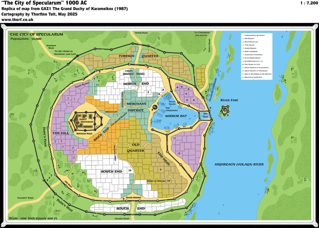
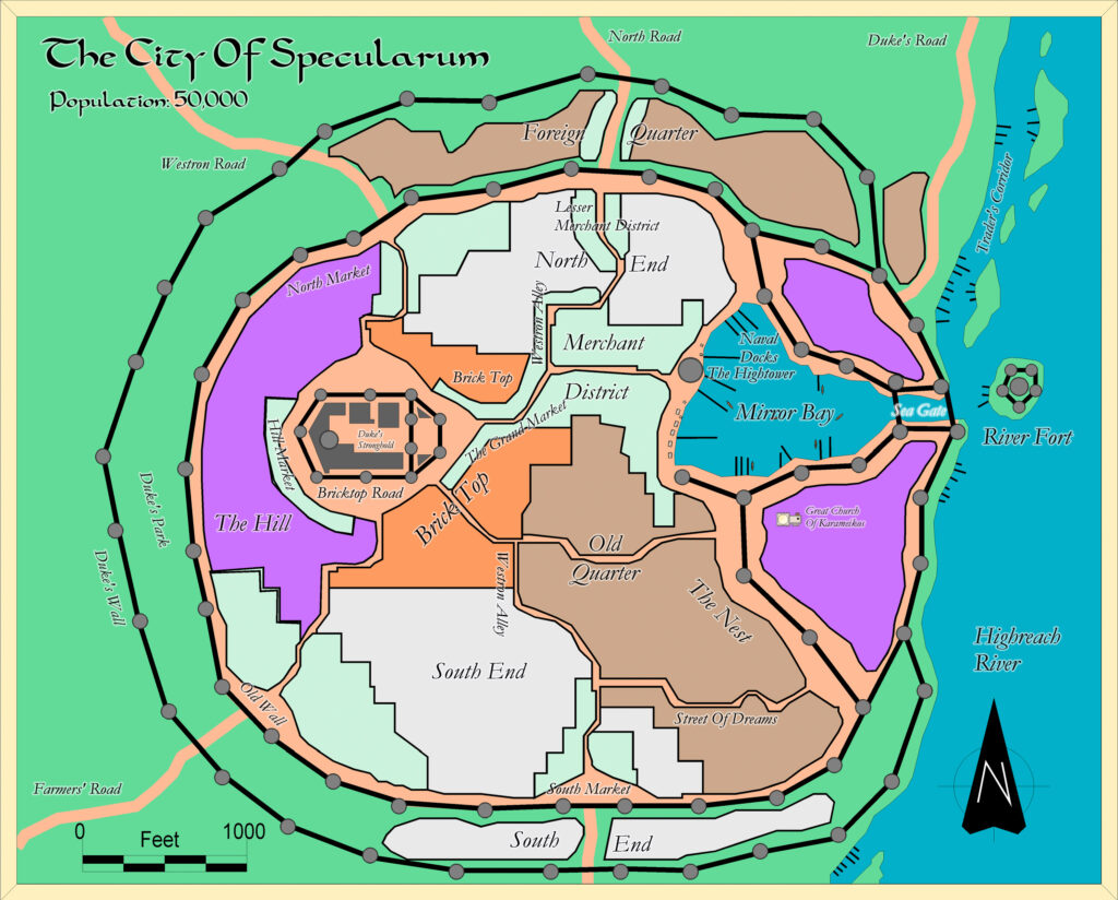
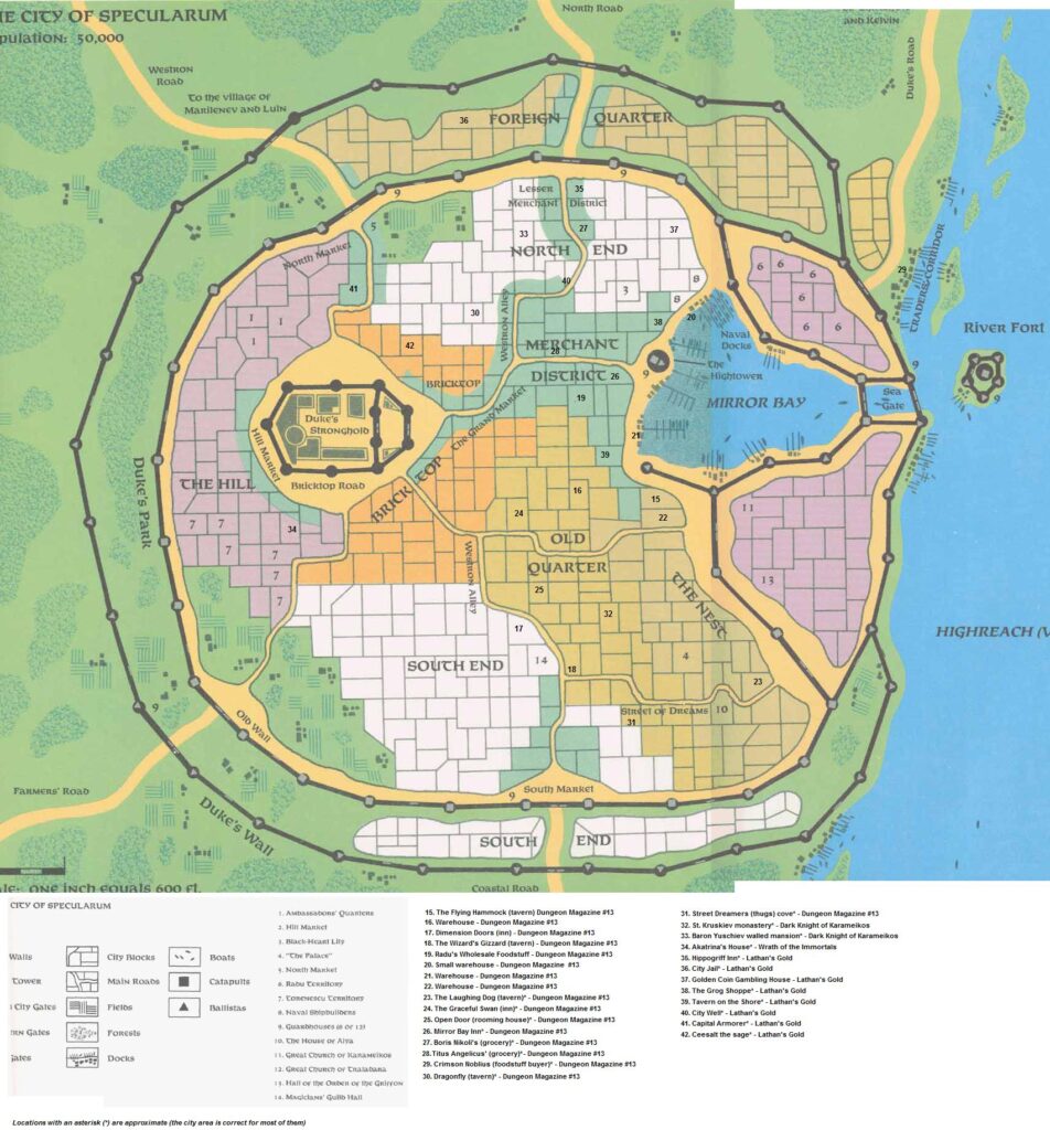
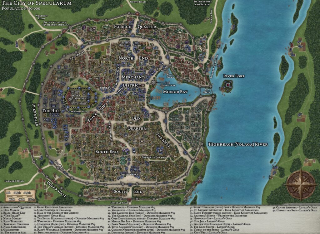
Specularum, 0.5 miles per hex (1984)
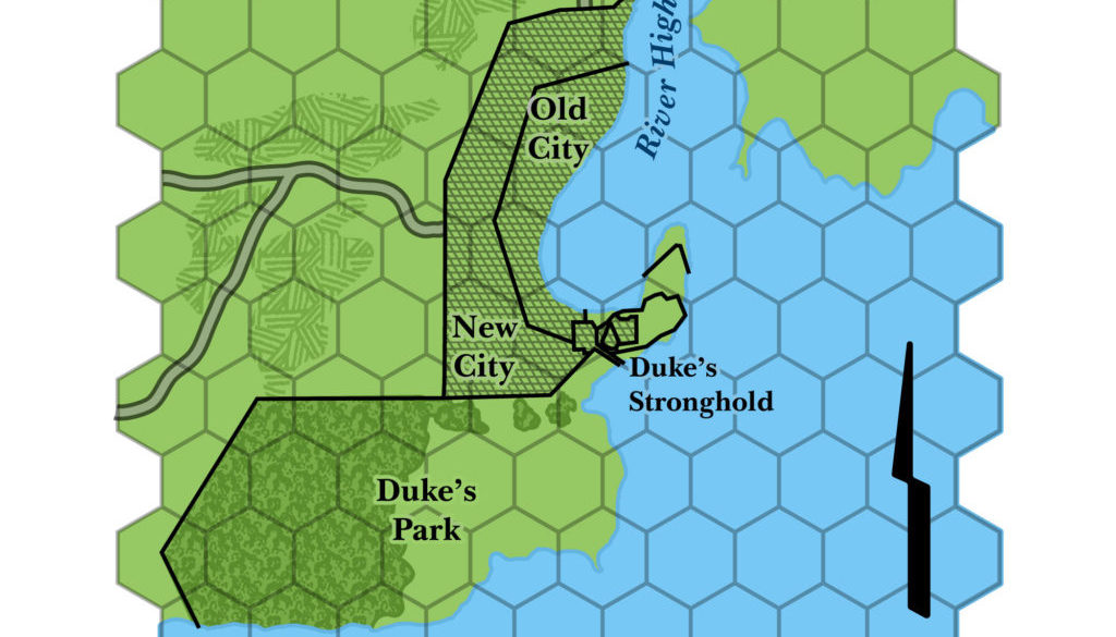
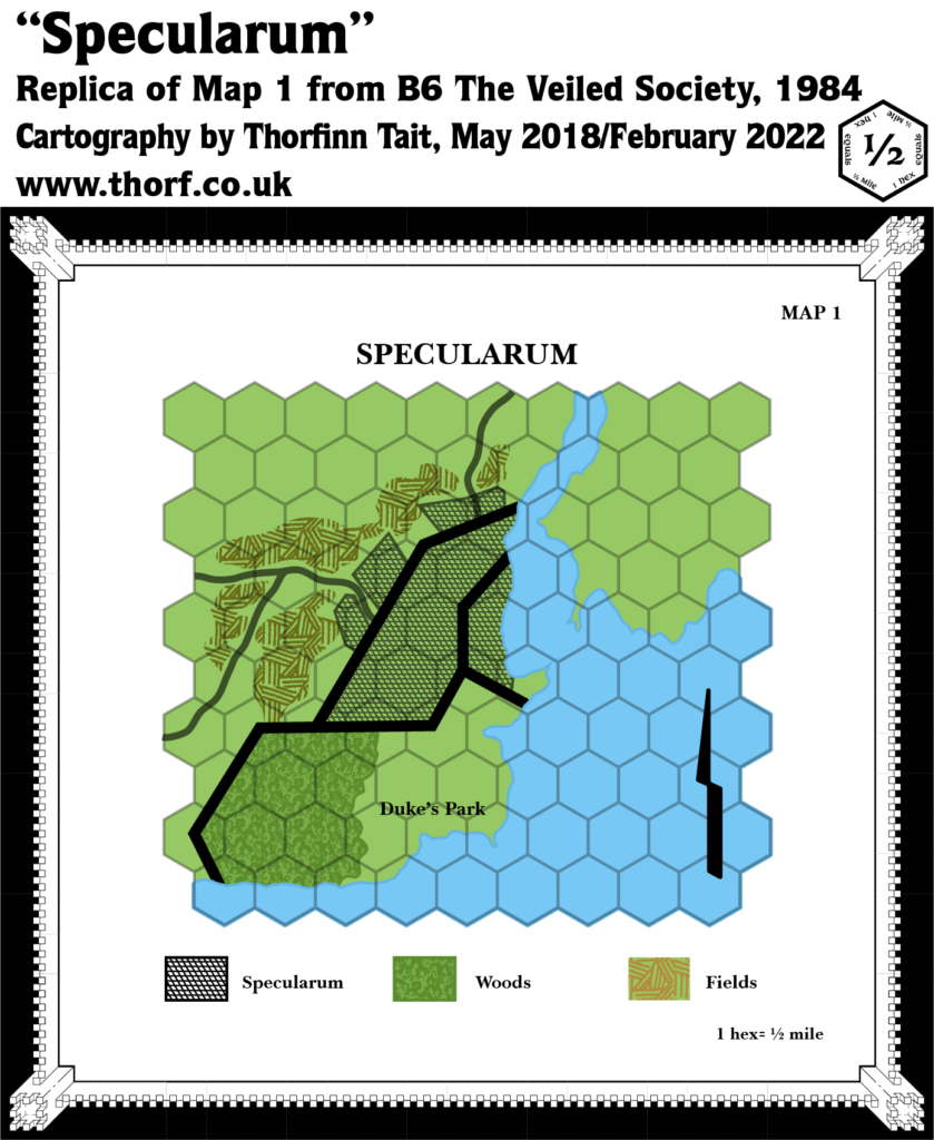
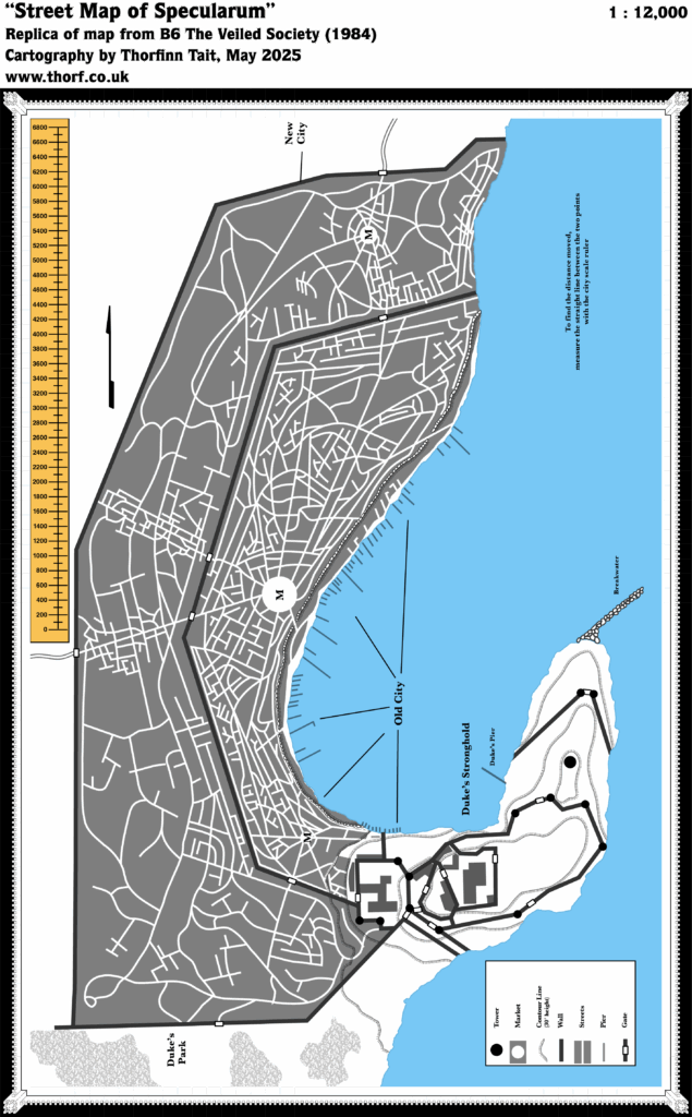
The maps from B6 did not match up well at all, so I have adapted this map to incorporate the large scale town map of Specularum. I scaled the town map precisely using the ruler included on B6’s gatefold, then lined it up with the area map using three points as landmarks: the southern wall between the city and Duke’s Park, and the two roads leaving the city. Happily, all of these fit rather nicely.
As a result, although the area map showed urban areas outside the walls, the town map did not, so these have been removed. Another option would be to include them in the empty areas north and south of the western road. I was able to shift the farms around a little without removing any of them.
It’s nice to have these maps fully compatible for 1984. Specularum would later receive an entirely different map in 1987.
Chronological Map (January 2022)
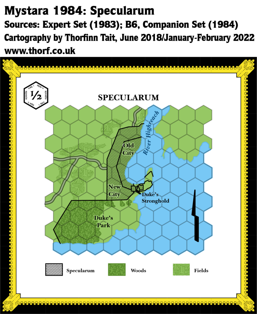
This map is part of the Mystara 1984 series of chronological maps. It is an updated map, incorporating all available sources and made internally consistent with other maps in its series. But it only uses sources published in or before 1984.
For more information, see Appendix C: Cartographic Chronology.
Sources
- Mystara 1983
- Companion Rules Set (1984) (PDF at DriveThruRPG)
- B6 The Veiled Society (1984) (PDF at DriveThruRPG)
- Specularum, 0.5 miles per hex
- Specularum town map
Revisions
For detailed notes, see the posts for each individual source map at the links above.
- Coasts — The coast has been constructed by splitting the area map’s coasts into two pieces and fitting them around the town map’s coast, which overwrites the part of the coast next to the city.
- Settlements — Specularum has been changed to precisely match its appearance on the town map.
References
- Let’s Map Mystara 1984 — the original project thread for this map
- Karameikos at the Vaults of Pandius

