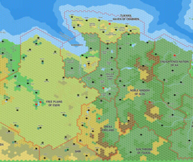
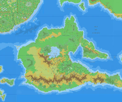
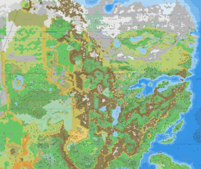
Sturm’s Fyarash, 8 miles per hex
Francesco’s Karameikos Development thread at The Piazza didn’t just produce a highly detailed map of Karameikos. It also birthed not one but two separate projects, each mapping out the familiar territory in new and rather unique ways.
The second of these projects was Karameikos’ Underdeep, miles below the surface of the world. Francesco envisioned multiple layers, with the deepest levels as much as 500 miles underground, and others much closer to the surface at less than 100 miles. He populated them with ancient creatures left over from the planet’s elemental past (for which see his 99,9999985% Mystara history article).
Fyarash, or the Fire Nations, was the deepest of the upper levels he detailed, sitting at between 85 and 90 miles under the ground. He mapped this realm out using the familiar 8 mile per hex scale, with Karameikos’ border and settlement locations visible as an overlay on the map.
It’s a fascinating look at civilisations in the far depths of the planet’s crust, and the map itself is highly creative, with a host of modified and new icons to go with it. It’s also rather a work-in-progress, with no title, labels, or key — all of which would be wonderful to see, I’m sure you’ll agree.
Fan-made Map by Francesco Defferrari (April 2013)

This is an original map created by one of Mystara’s excellent fan cartographers. For more information on the cartographer, including a gallery of all their maps, see also Appendix M: Mappers of Mystara.
Work in progress map: This map is incomplete. It appears here in the most recent state available, but it may be missing certain elements.
Sources
- None
Fan Sources
- Karameikos developing thread at The Piazza, starting at this post (18th April 2013)
References
- All of Francesco’s maps at the Atlas of Mystara
- Francesco’s entry in Appendix M: Mappers of Mystara (upcoming)
- Francesco’s author page at the Vaults of Pandius
Chronological Analysis
This is a fan-made map. It was published in April 2013. The updated Atlas version of this map is not yet available. See also Appendix C for annual chronological snapshots of the area. For the full context of this map in Mystara’s publication history, see the upcoming Let’s Map Mystara 2013. (Please note that it may be some time before the project reaches this point.)
The following lists are from the Let’s Map Mystara project. Additions are new features, introduced in this map. Revisions are changes to previously-introduced features. Hex Art & Fonts track design elements. Finally, Textual Additions are potential features found in the related text. In most cases, the Atlas adopts these textual additions into updated and chronological maps.
Under Construction! Please check back again soon for updates.


