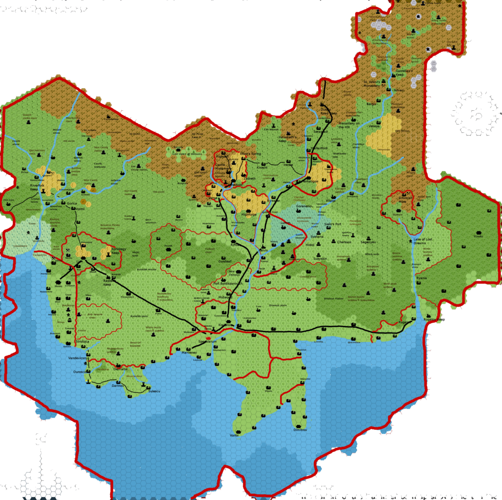
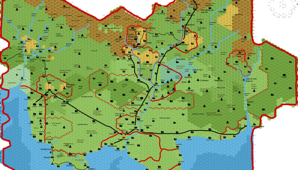
Sturm’s Karameikos, 3.2 miles per hex v1
After creating his full map of Brun, Francesco next decided to zoom right in on a single nation, to develop it as fully as he could. For this he chose Karameikos, “the starting point of Mystara”. And then he set about doing his usual magic, reviewing all the official and fan sources he could find and adding their content to the map.
By this point Karameikos had already seen major development by numerous authors, but Francesco noted that it nevertheless had “huge areas of which we know almost nothing”.
Therefore, he took Giampaolo Agosta’s Karameikos, 3.2 miles per hex map, and started adding details. At the same time, he outlined his changes and additions in a thread at The Piazza. The original posted map is lost at this point. This map is the oldest remaining version, date-stamped 27th December. The thread began on 4th December, and this version clearly includes changes noted by Francesco up until late December.
Fan-made Map by Francesco Defferrari (December 2011)

This is an original map created by one of Mystara’s excellent fan cartographers. For more information on the cartographer, including a gallery of all their maps, see also Appendix M: Mappers of Mystara.
Sources
- Expert Rulebook (1981) (PDF at DriveThruRPG)
- Expert Rulebook (1983) (PDF at DriveThruRPG)
- B10 Night’s Dark Terror (1986) (PDF at DriveThruRPG)
- GAZ1 The Grand Duchy of Karameikos (1987) (PDF at DriveThruRPG)
Fan Sources
- Agathokles’ Karameikos, 3.2 miles per hex (2010)
- Karameikos developing thread at The Piazza (2011-2014)
References
- All of Francesco’s maps at the Atlas of Mystara
- Francesco’s entry in Appendix M: Mappers of Mystara (upcoming)
- Francesco’s author page at the Vaults of Pandius
Chronological Analysis
This is a fan-made map. It was published in December 2011. The updated Atlas version of this map is not yet available. See also Appendix C for annual chronological snapshots of the area. For the full context of this map in Mystara’s publication history, see the upcoming Let’s Map Mystara 2011. (Please note that it may be some time before the project reaches this point.)
The following lists are from the Let’s Map Mystara project. Additions are new features, introduced in this map. Revisions are changes to previously-introduced features. Hex Art & Fonts track design elements. Finally, Textual Additions are potential features found in the related text. In most cases, the Atlas adopts these textual additions into updated and chronological maps.
Under Construction! Please check back again soon for updates.


