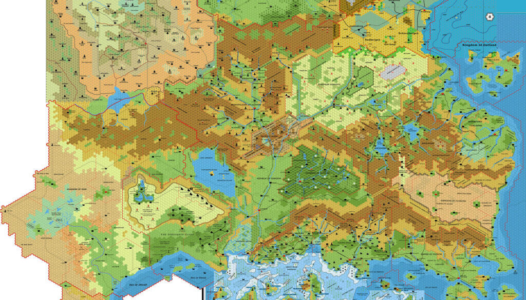
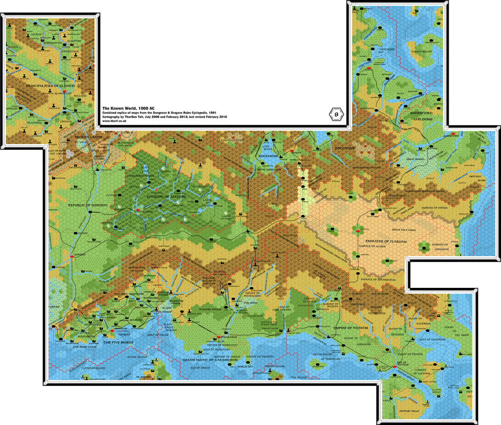
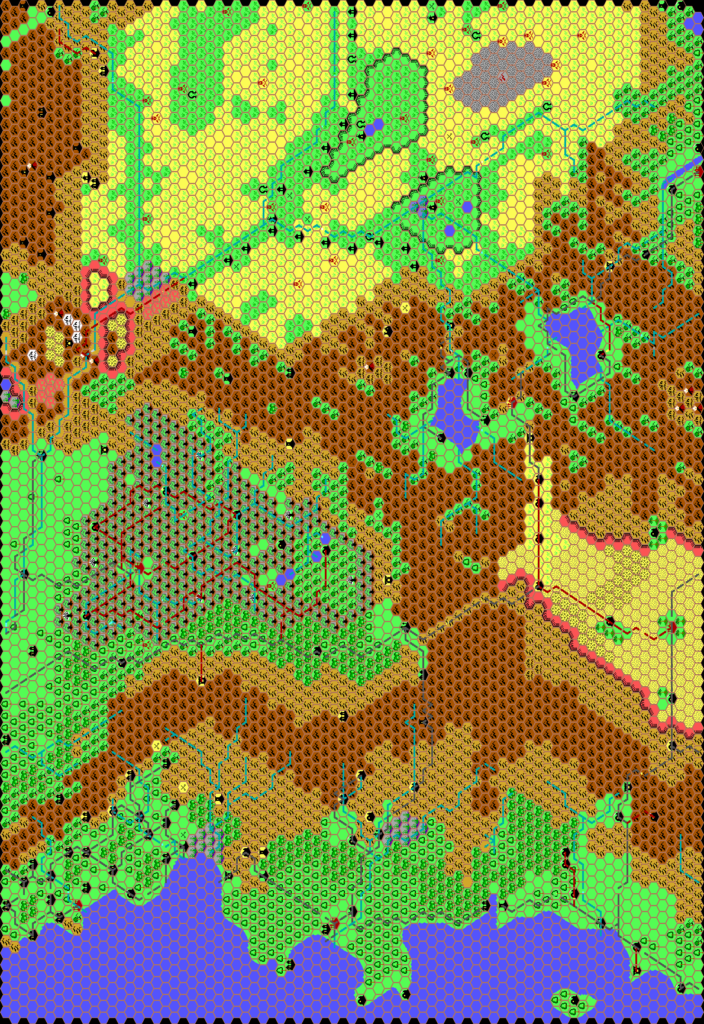
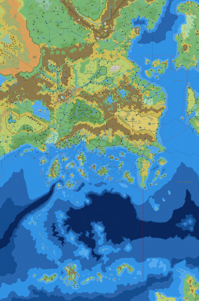
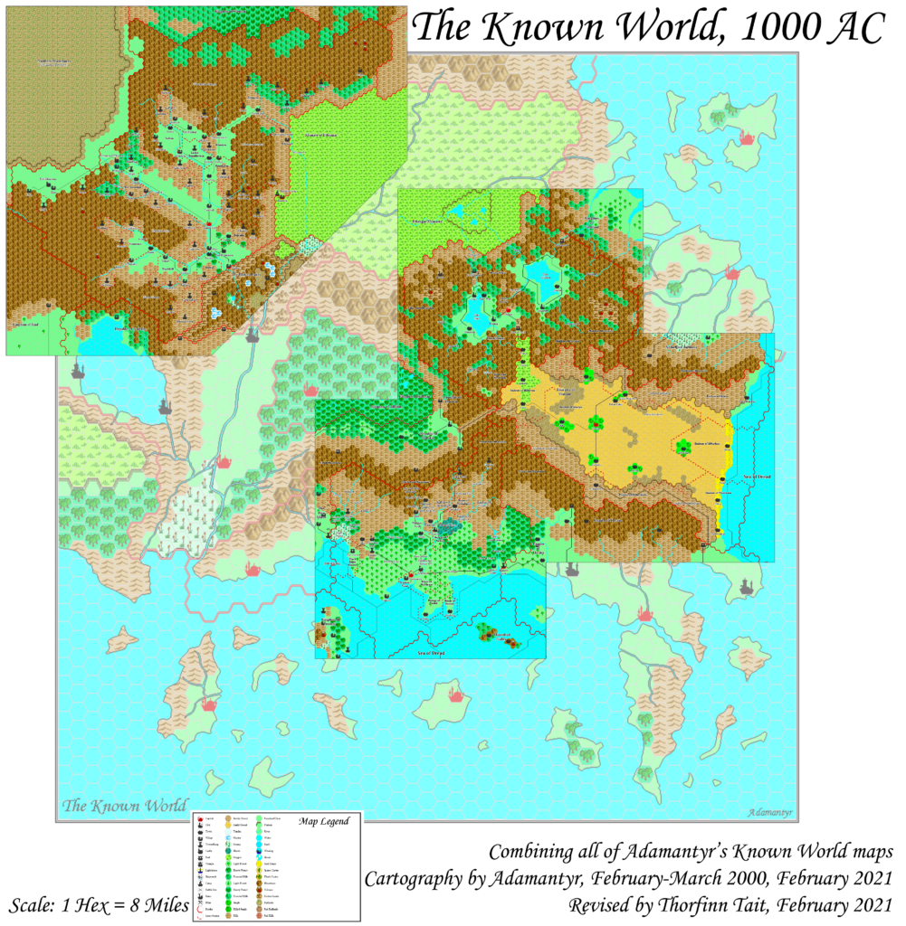
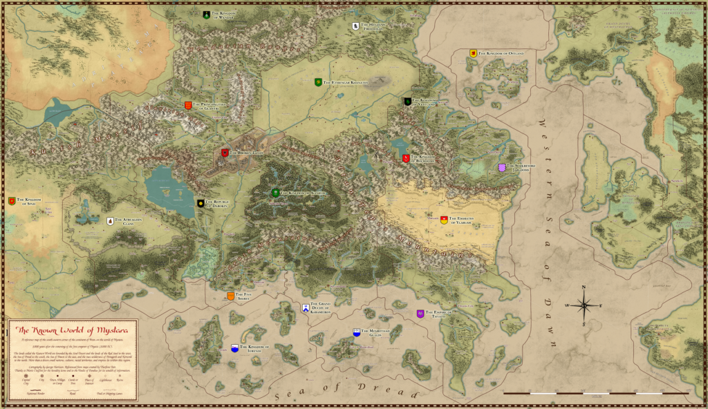
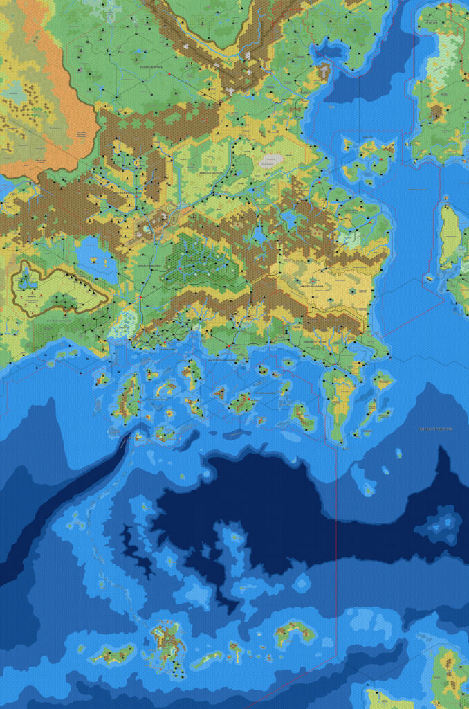
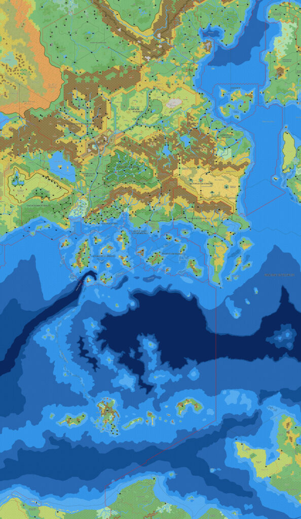
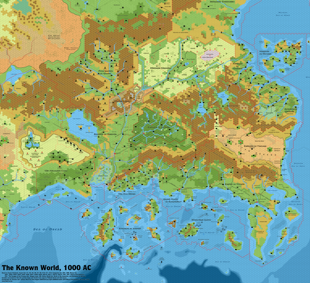
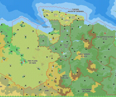
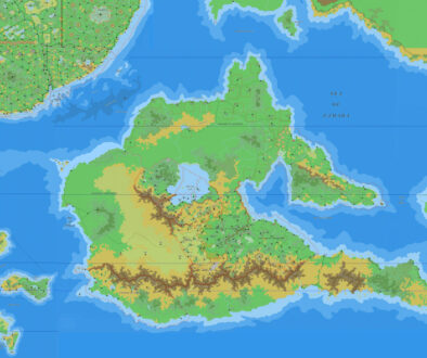
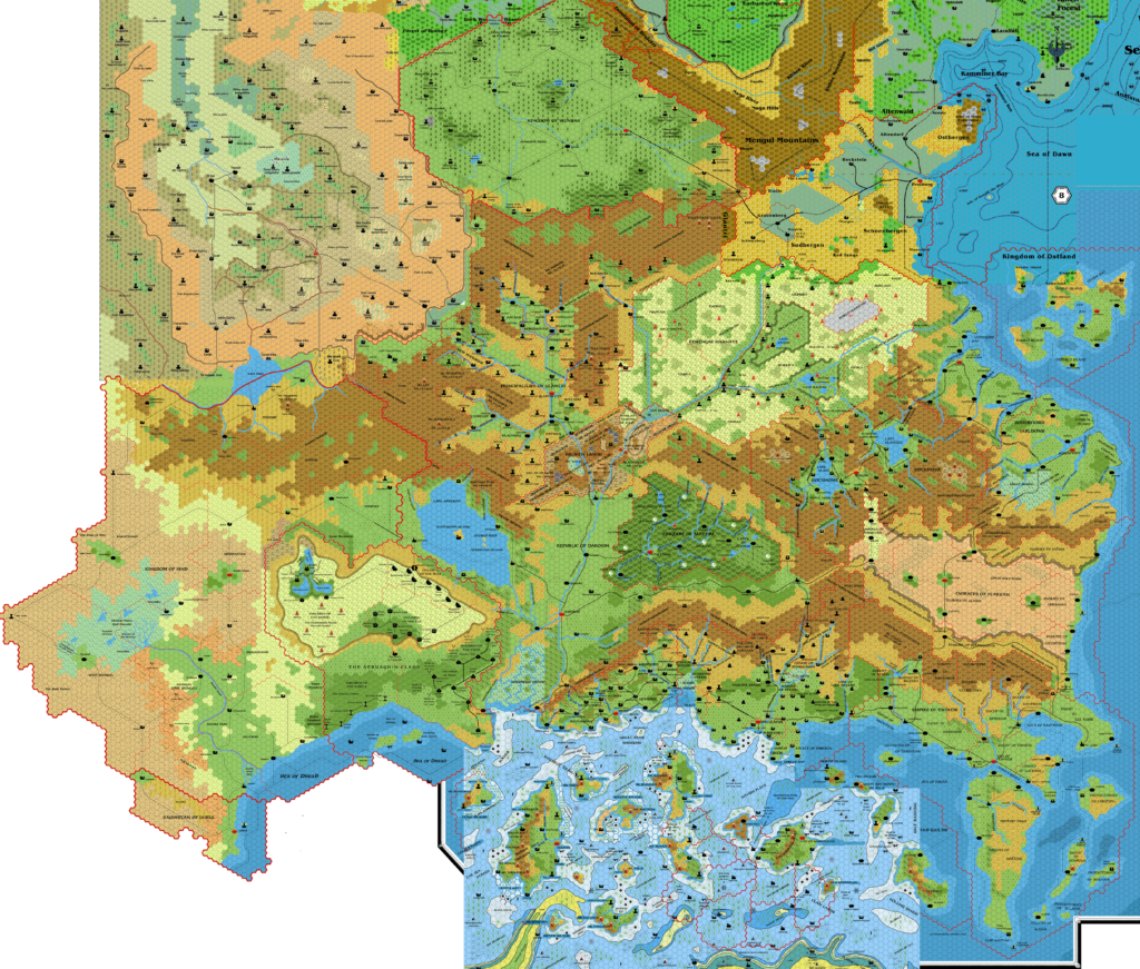
Sturm’s Known World, 8 miles per hex v2
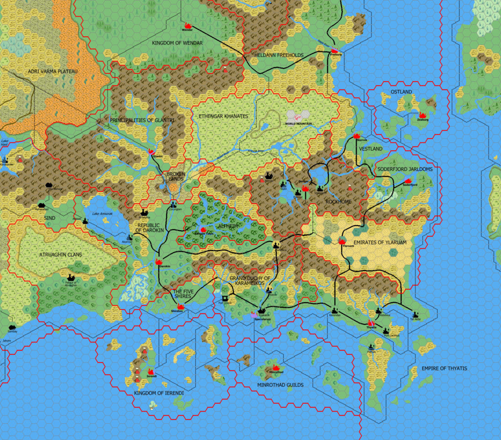
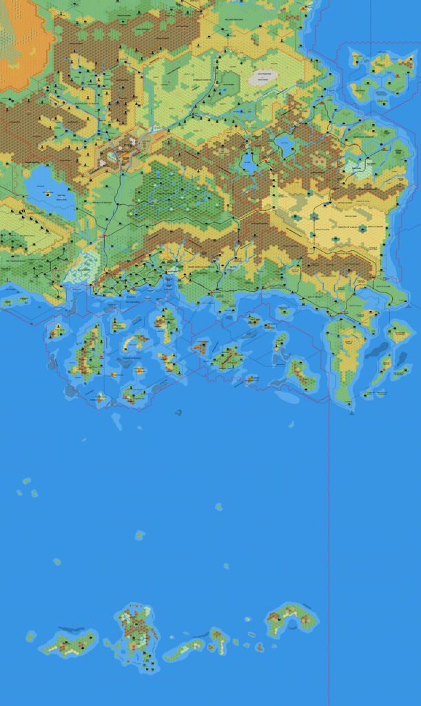
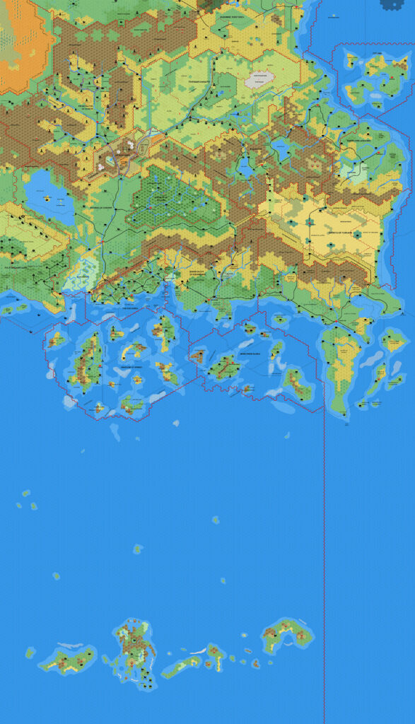
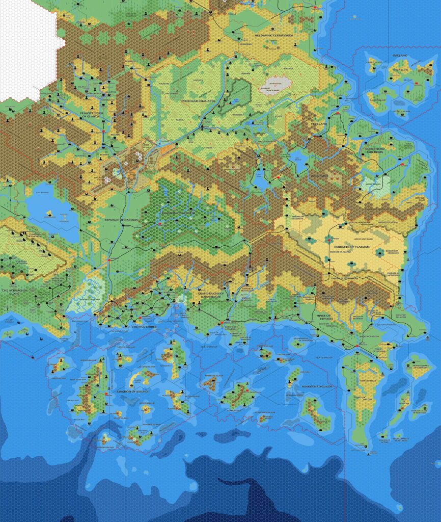
When he posted his Known World, 8 miles per hex v1 map in March 2013, Francesco’s stated aim was to use it as a base for further development of the Known World. As mentioned in the previous map’s post, he actually began this process, although he didn’t get very far with it.
This map, from just a few days after the original, is the product of his efforts, and it’s also largely as far as he took the project.
There are two major areas of addition: he added a lot of settlements to Karameikos, likely based on his Karameikos, 3.2 miles per hex v2 map, the development of which was still ongoing; and he filled in all the strange gaps of Rockhome with a scattering of villages throughout the nation.
While Karameikos has seen a massive amount of development over the years, the same cannot be said for Rockhome. The significance of this map to the overall scheme of things therefore lies in the additions to Rockhome. Sadly, the new villages did not receive names.
Fan-made Map by Francesco Defferrari (March 2013)
This is an original map created by one of Mystara’s excellent fan cartographers. For more information on the cartographer, including a gallery of all their maps, see also Appendix M: Mappers of Mystara.
Sources
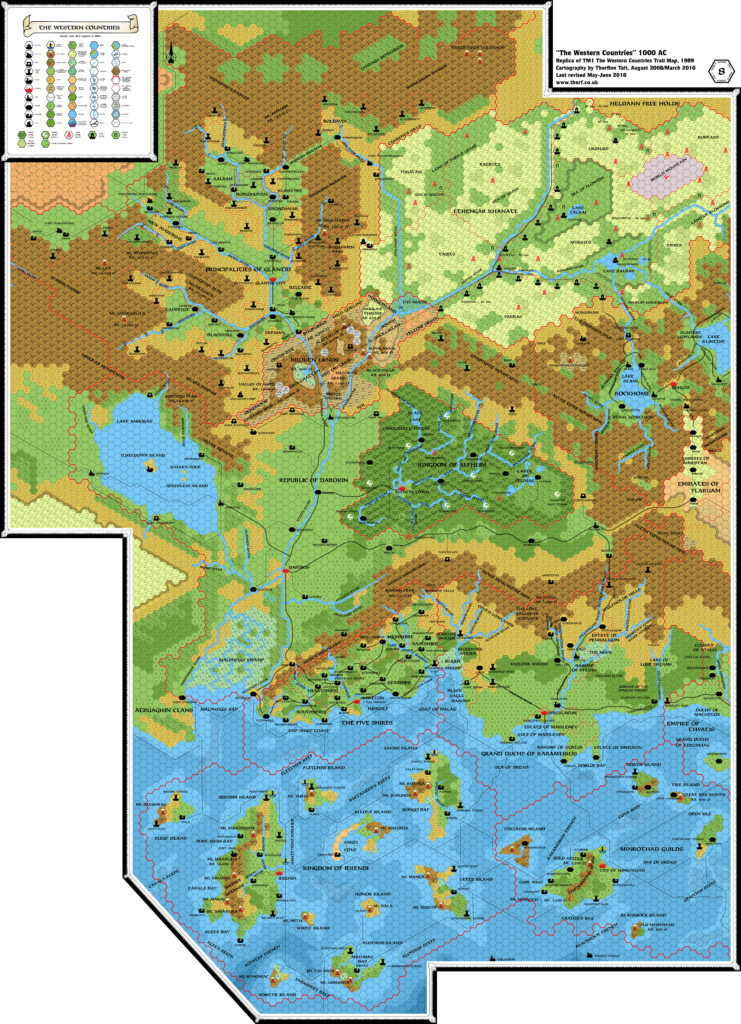
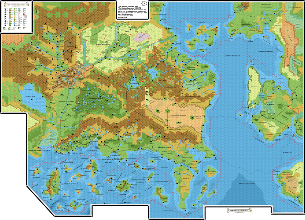
- TM1 The Western Countries (1989) (PDF at DriveThruRPG)
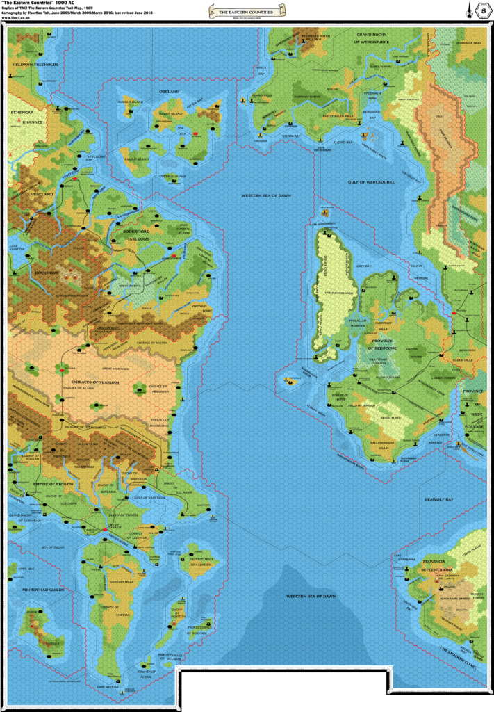
- TM2 The Eastern Countries (1989) (PDF at DriveThruRPG)
- PC3 The Sea People (1990) (PDF at DriveThruRPG)
- GAZ14 The Atruaghin Clans (1991) (PDF at DriveThruRPG)
Fan Sources
- Atlas of Mystara (2005-present)
- Sturm’s Adri Varma Plateau, 8 miles per hex (2006)
- JTR’s Denagoth, 8 miles per hex (2006)
- JTR’s Heldann, 8 miles per hex (2007)
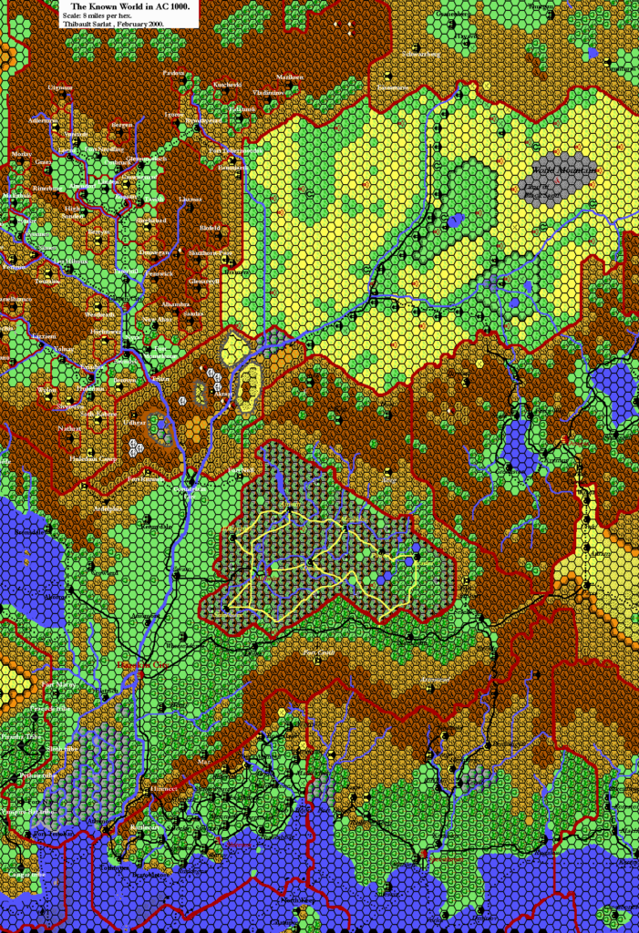
- Sturm’s Known World, 8 miles per hex v1 (2013)
References
- All of Francesco’s maps at the Atlas of Mystara
- Francesco’s entry in Appendix M: Mappers of Mystara (upcoming)
- Francesco’s author page at the Vaults of Pandius
- The (Un)Known World trail map thread at The Piazza (March 2013)
- The (Un)Known World trail map at the Vaults of Pandius
Chronological Analysis
This is a fan-made map. It was published in March 2013. The updated Atlas version of this map is not yet available. See also Appendix C for annual chronological snapshots of the area. For the full context of this map in Mystara’s publication history, see the upcoming Let’s Map Mystara 2013. (Please note that it may be some time before the project reaches this point.)
The following lists are from the Let’s Map Mystara project. Additions are new features, introduced in this map. Revisions are changes to previously-introduced features. Hex Art & Fonts track design elements. Finally, Textual Additions are potential features found in the related text. In most cases, the Atlas adopts these textual additions into updated and chronological maps.
Under Construction! Please check back again soon for updates.

