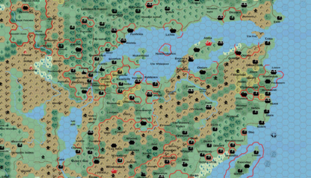
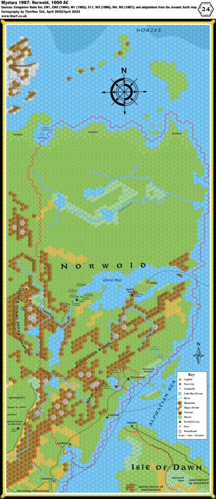
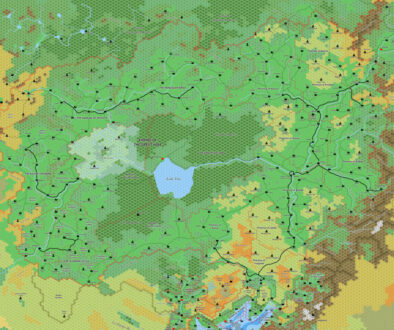
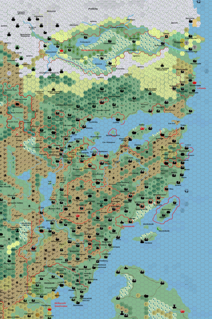
Sturm’s Norwold, 24 miles per hex
Francesco shared this map of Norwold from his campaign in June 2011, as part of a discussion of taiga in northern Norwold at The Piazza.
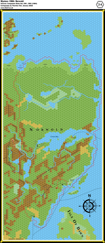
Using Andrea Francolini’s map as a base, he added all the official and fan-made details he could find. This included Kaarjala, Littonia, and a myriad of dominions throughout Norwold. He also changed the lands north of the Great Bay, replacing some of the forests with grasslands and adding tundra all around Kaarjala. The terrain itself is close to Andrea’s — especially the mountains — but Francesco added extensive forested hills throughout Norwold. He also made some major tweaks to the Heldann/Denagoth area. In essence, he took Andrea’s terrain and added a whole host of new details.
The skill and attention to detail in this map hints strongly at what Francesco was about to do next.
Fan-made Map by Francesco Defferrari (June 2011)
This is an original map created by one of Mystara’s excellent fan cartographers. For more information on the cartographer, including a gallery of all their maps, see also Appendix M: Mappers of Mystara.
Sources
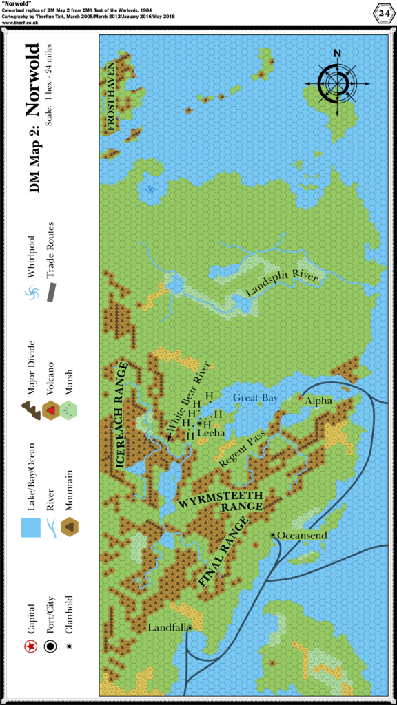
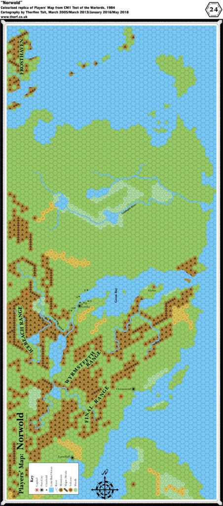
- CM1 Test of the Warlords (1984) (PDF at DriveThruRPG)
Fan Sources
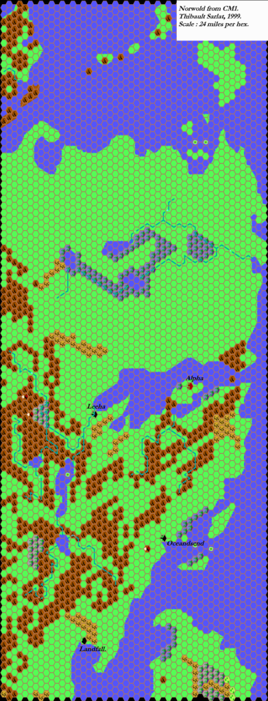
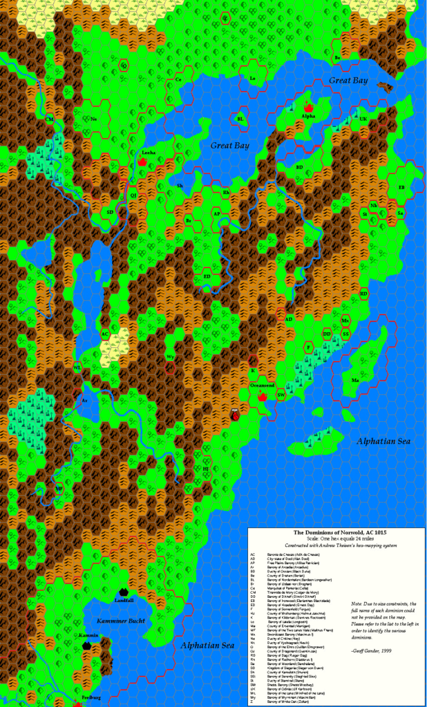
- Geoff’s Norwold, 24 miles per hex (1999)
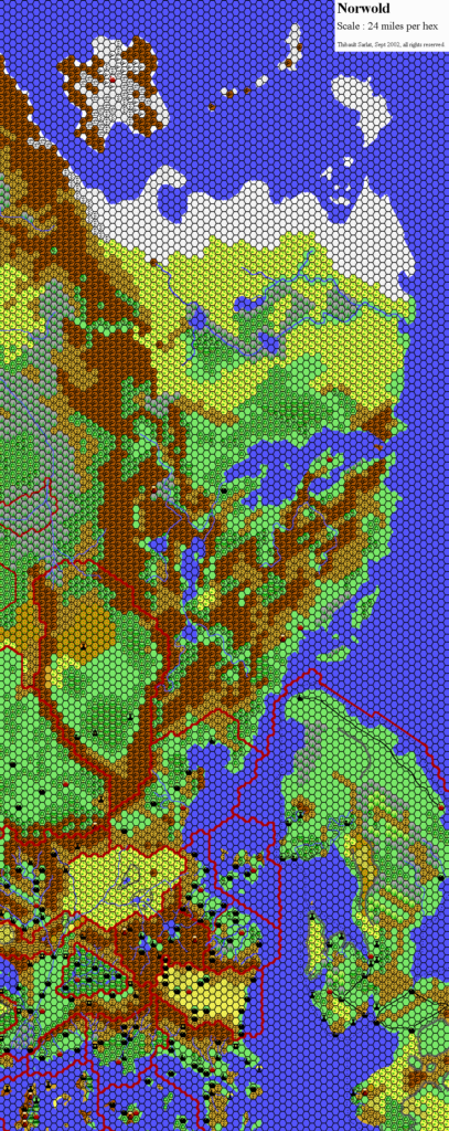
- Thibault’s Norwold, 24 miles per hex (2002)
- Kal’s Brun South, 24 miles per hex (2005)
- JTR’s Kaarjala, 8 miles per hex (2008)
- JTR’s Itämaa, 8 miles per hex (2008)
References
- All of Francesco’s maps at the Atlas of Mystara
- Francesco’s entry in Appendix M: Mappers of Mystara (upcoming)
- Francesco’s author page at the Vaults of Pandius
- Taiga in Northern Norwold thread at The Piazza (June 2011)
- Map of Northern Norwold, 1000 AC thread at The Piazza (September 2011)
Chronological Analysis
This is a fan-made map. It was published in June 2011. The updated Atlas version of this map is not yet available. See also Appendix C for annual chronological snapshots of the area. For the full context of this map in Mystara’s publication history, see the upcoming Let’s Map Mystara 2011. (Please note that it may be some time before the project reaches this point.)
The following lists are from the Let’s Map Mystara project. Additions are new features, introduced in this map. Revisions are changes to previously-introduced features. Hex Art & Fonts track design elements. Finally, Textual Additions are potential features found in the related text. In most cases, the Atlas adopts these textual additions into updated and chronological maps.
Under Construction! Please check back again soon for updates.

