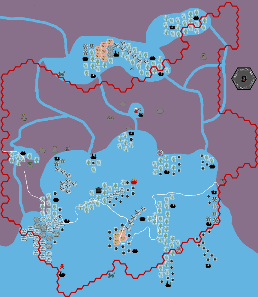
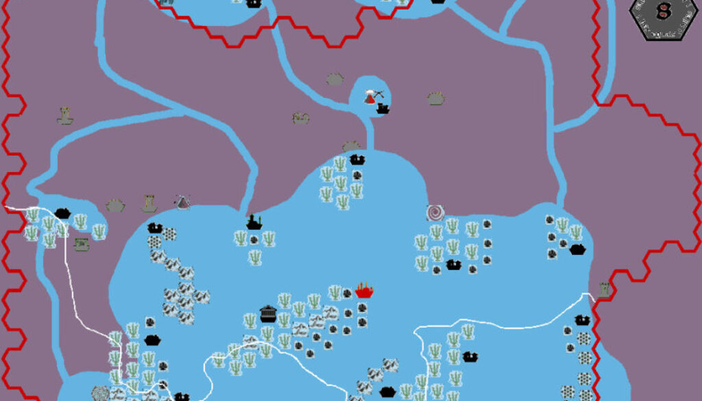
Sturm’s Wiassian, 8 miles per hex
For the full story behind this map and its companions in the Karameikos Underdeep series, see Sturm’s Fyarash, 8 miles per hex. See also the second map, Sturm’s Actoian, 8 miles per hex.
This is the third map in the series, depicting the water nation of Wiassian. This is in fact just a small part of the vast, continent-spanning Wiassian Empire, which sits about 75 miles beneath the surface world. Although it’s an orderly society, it’s also rather expansionist, seeking to flood the whole underdeep and turn it into a paradise for water-based lifeforms. There are a few more details in Francesco’s original post at The Piazza.
This map has a rather interesting unique point: it’s the only map of Mystara thus far that is both underwater as well as underground.
Fan-made Map by Francesco Defferrari (April 2013)

This is an original map created by one of Mystara’s excellent fan cartographers. For more information on the cartographer, including a gallery of all their maps, see also Appendix M: Mappers of Mystara.
Work in progress map: This map is incomplete. It appears here in the most recent state available, but it may be missing certain elements.
Sources
- None
Fan Sources
- Karameikos developing thread at The Piazza, starting at this post (18th April 2013)
- Details of Wiassian are in this post (10th May 2013)
References
- All of Francesco’s maps at the Atlas of Mystara
- Francesco’s entry in Appendix M: Mappers of Mystara (upcoming)
- Francesco’s author page at the Vaults of Pandius
Chronological Analysis
This is a fan-made map. It was published in April 2013. The updated Atlas version of this map is not yet available. See also Appendix C for annual chronological snapshots of the area. For the full context of this map in Mystara’s publication history, see the upcoming Let’s Map Mystara 2013. (Please note that it may be some time before the project reaches this point.)
The following lists are from the Let’s Map Mystara project. Additions are new features, introduced in this map. Revisions are changes to previously-introduced features. Hex Art & Fonts track design elements. Finally, Textual Additions are potential features found in the related text. In most cases, the Atlas adopts these textual additions into updated and chronological maps.
Under Construction! Please check back again soon for updates.


