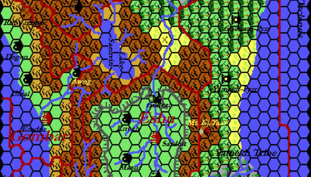
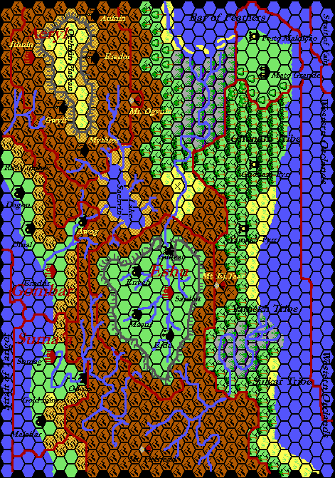
Thibault’s Arm of the Immortals, 24 miles per hex
Twice in September 1999 Thibault mentioned this map on the MML, and the terrain file dates to later that month, but I can’t find a record of precisely when it was posted. The black hex grid first appeared in August 2000, so this is likely a later updated version of the map.
Thibault abandoned Grid’s built-in road and river feature in mid-September 1999, just before he worked on this map. So this is likely one of the first he did with his new system, drawing the line-work manually in Paint Shop Pro. He used this technique to draw not just the roads, rivers, and borders, but also the coastlines and plateaus. The only problem with this was that it ended up deleting parts of the hex grid. I have touched up these parts where possible using the original terrain files.
The map itself is an accurate reproduction of Dragon 200’s map using Thibault’s art style of the time. He never produced an updated version beyond this one, although newer versions of the area with upright hex art are visible in some of his later area and world maps.
Fan-made Map by Thibault Sarlat (c. September 1999)
This is an original map created by one of Mystara’s excellent fan cartographers. For more information on the cartographer, including a gallery of all their maps, see also Appendix M: Mappers of Mystara.
Sources
- The Known World Grimoire: Lords of the skies, Dragon 200 (December 1993)
References
- All of Thibault’s maps at the Atlas of Mystara
- Thibault’s entry in Appendix M: Mappers of Mystara (upcoming)
- Thibault’s author page at the Vaults of Pandius
Chronological Analysis
This is a fan-made map. It was published in 1999. The updated Atlas version of this map is not yet available. See also Appendix C for annual chronological snapshots of the area. For the full context of this map in Mystara’s publication history, see the upcoming Let’s Map Mystara 1999. (Please note that it may be some time before the project reaches this point.)
The following lists are from the Let’s Map Mystara project. Additions are new features, introduced in this map. Revisions are changes to previously-introduced features. Hex Art & Fonts track design elements. Finally, Textual Additions are potential features found in the related text. In most cases, the Atlas adopts these textual additions into updated and chronological maps.
Coming Soon


