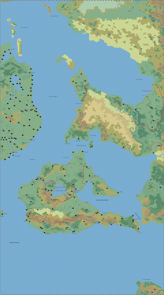
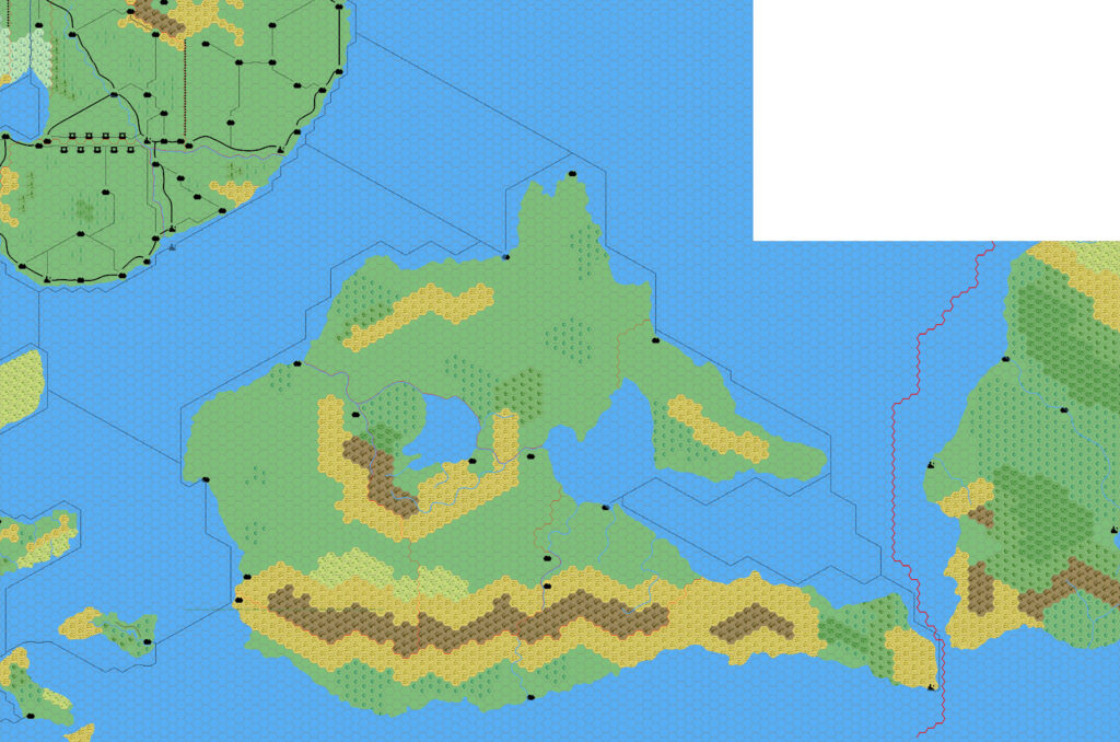
Thibault’s Bellissaria, 24 miles per hex v1
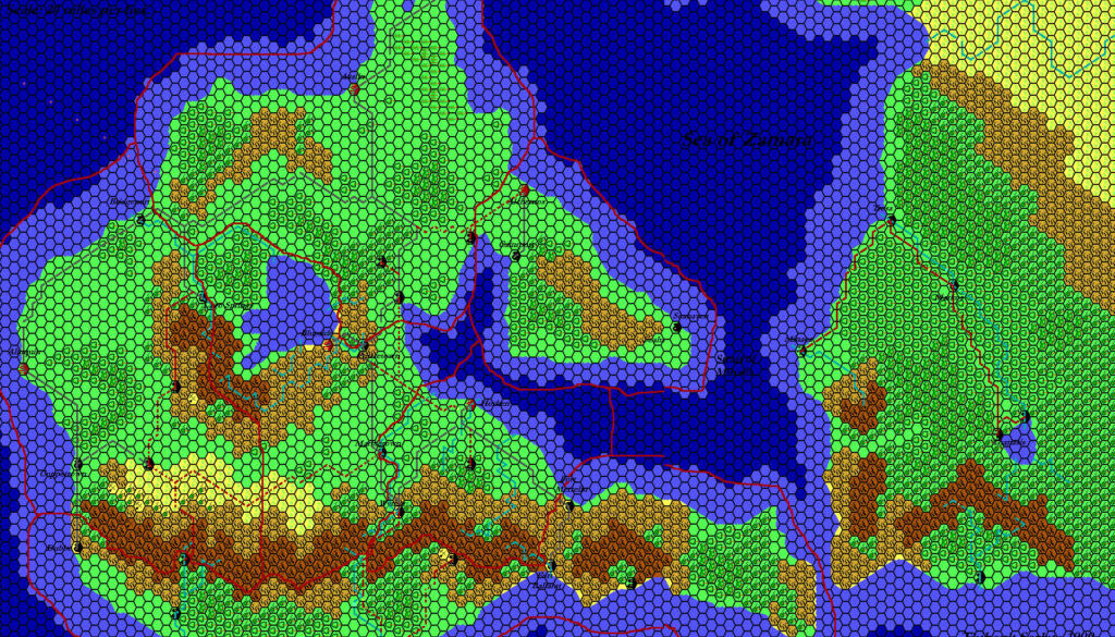
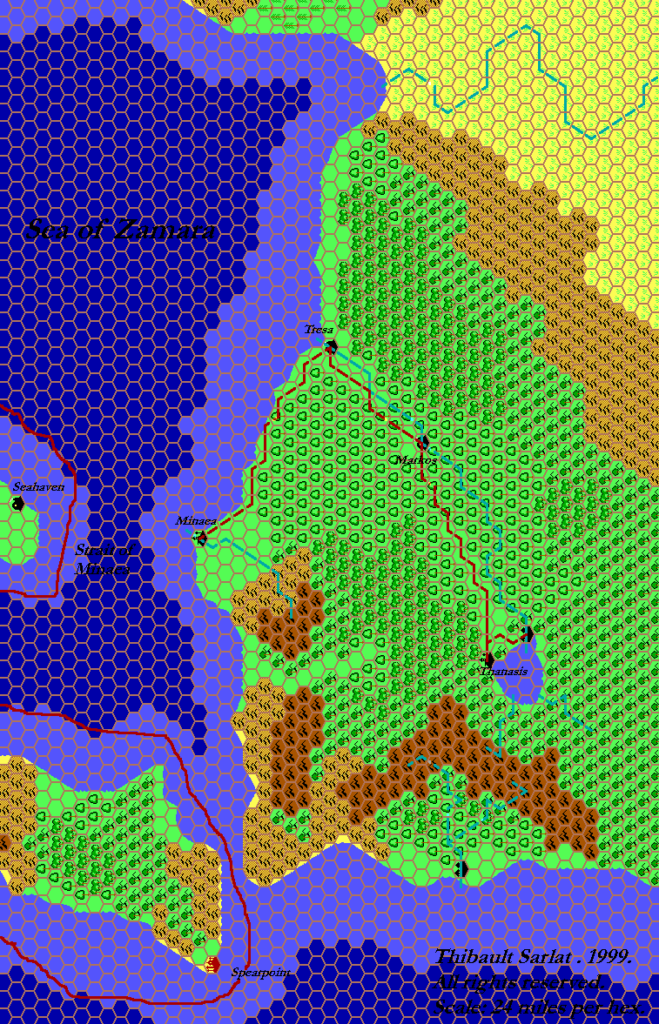
In September 1999, Thibault posted something quite amazing: the first ever 24 mile per hex map of Bellissaria. He split it into two parts, east and west. The rivers and roads used Grid’s angular system, but the borders were one of the first examples of Thibault’s new technique, drawn in manually in Paint Shop Pro. The maps included labels, too.
These maps took Dawn of the Emperors and Poor Wizard’s Almanac III’s 72 mile per hex maps and adapted them to 24 miles per hex, using a technique that Thibault had just detailed a few weeks earlier. This would be key to many of his maps moving forward, and he became very skilled at it.
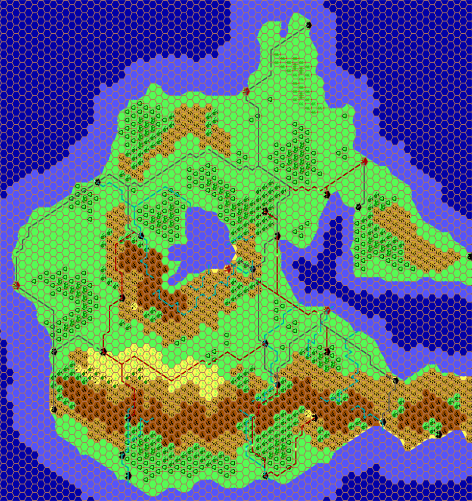
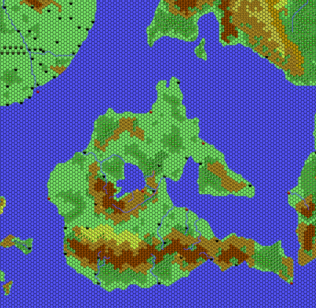
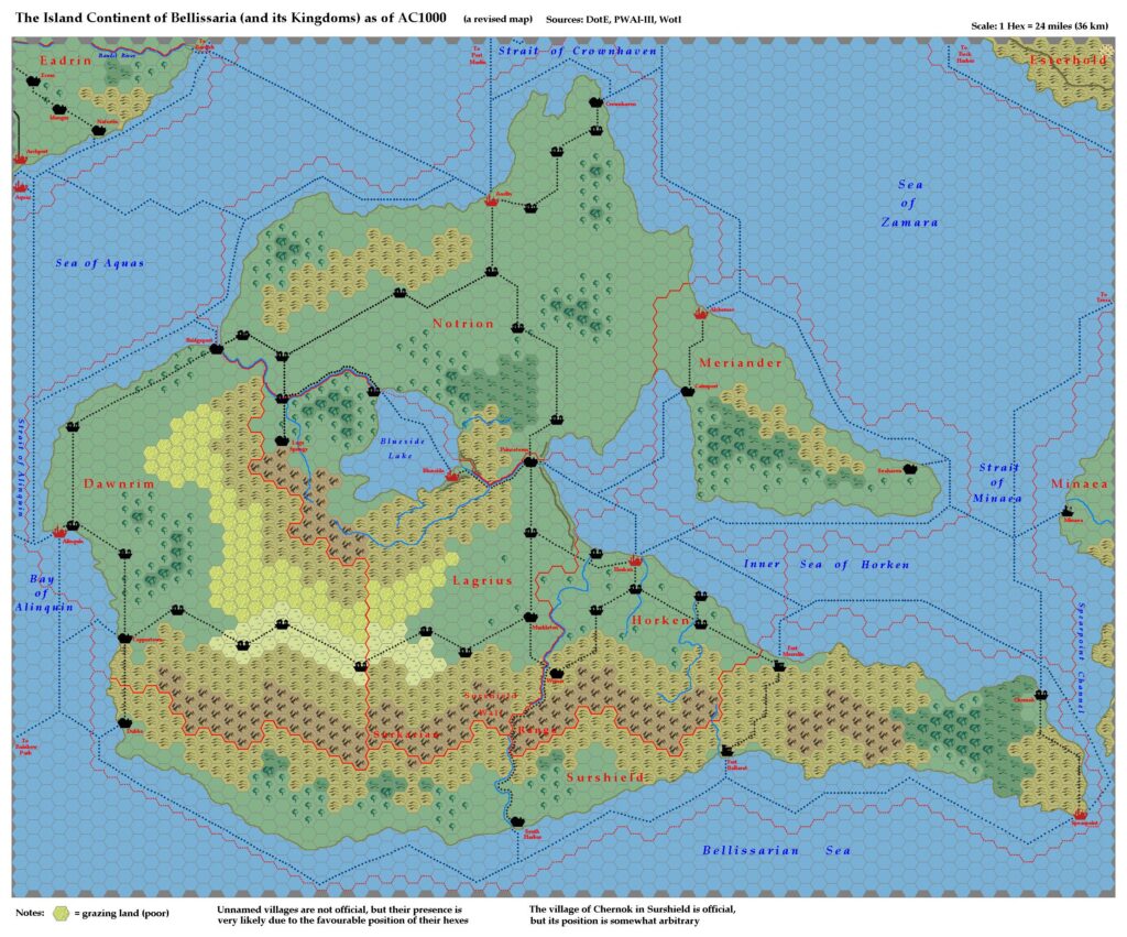
Unfortunately, the original Bellissaria West file is lost to us; I have included a surviving work-in-progress version without the labels and borders. The revised version combining both maps is still available, and I present it below. Thibault combined the maps and changed the hex grid from grey to black in November 2000.
Bellissaria seems to have been one of Thibault’s most favoured regions, as it saw not one but two different later versions.
Fan-made Map by Thibault Sarlat (November 2000)
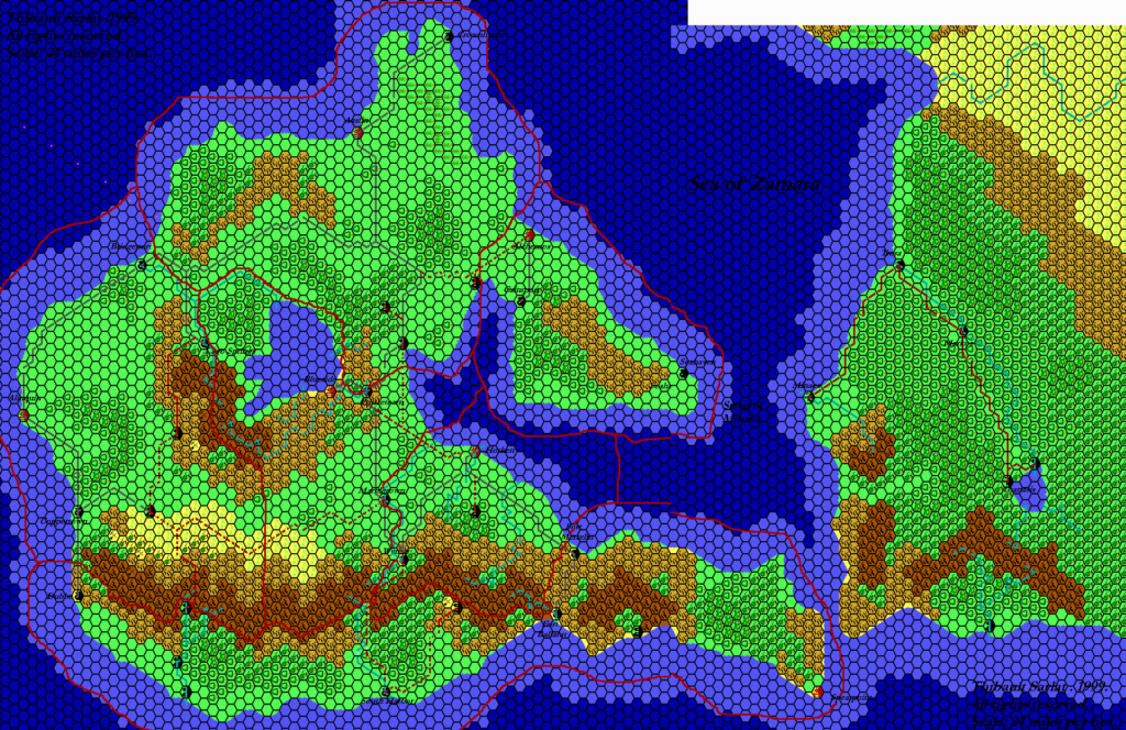
Fan-made Maps by Thibault Sarlat (September 1999)
This is an original map created by one of Mystara’s excellent fan cartographers. For more information on the cartographer, including a gallery of all their maps, see also Appendix M: Mappers of Mystara.
Sources
- Dawn of the Emperors (1989) (PDF at DriveThruRPG)
- Poor Wizard’s Almanac III (1994) (PDF at DriveThruRPG)
References
- All of Thibault’s maps at the Atlas of Mystara
- Thibault’s entry in Appendix M: Mappers of Mystara (upcoming)
- Thibault’s author page at the Vaults of Pandius
Chronological Analysis
These are fan-made maps. They were published in September 1999 and November 2000. The updated Atlas version of this map is not yet available. See also Appendix C for annual chronological snapshots of the area. For the full context of this map in Mystara’s publication history, see the upcoming Let’s Map Mystara 1999 and 2000. (Please note that it may be some time before the project reaches this point.)
The following lists are from the Let’s Map Mystara project. Additions are new features, introduced in this map. Revisions are changes to previously-introduced features. Hex Art & Fonts track design elements. Finally, Textual Additions are potential features found in the related text. In most cases, the Atlas adopts these textual additions into updated and chronological maps.
Coming Soon

