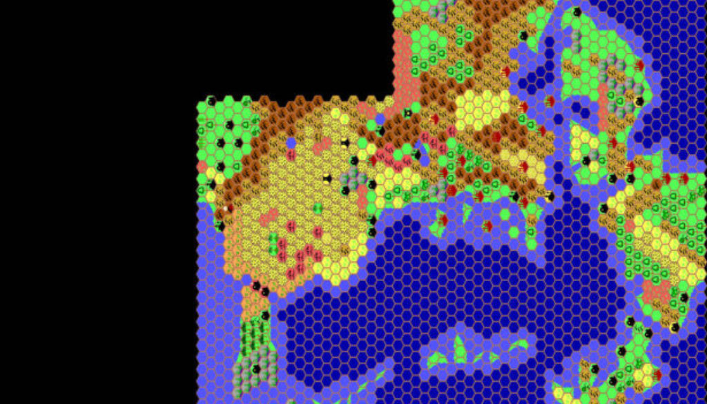
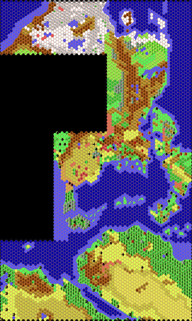
Thibault’s Brun area, 72 miles per hex 1999
Before working on Skothar, Thibault revised his 72 mile per hex map of the core Known World area, which had used hex rows instead of columns. Thus, this was his first regular map of the Known World at this scale.
For the first time, he also included lands north as far as Hyborea, and indeed he named the Grid file “Hyborea”, likely because it was the new part of the map. Borea, however, did not appear yet. Nor did the Savage Coast or anywhere else in western Brun.
Finally, instead of expanding east to Skothar, he instead remapped northwestern Davania, tweaking quite a lot of things, although it’s unclear if the revisions were deliberate or accidental — in many cases, both look like equally valid choices.
By the time he returned to the 72 mile per hex scale, Thibault had completely revised his hex art to allow upright symbols. As a result, this map represents the full extent of his coverage of the area in his initial style.
Fan-made Map by Thibault Sarlat (August 1999)
This is an original map created by one of Mystara’s excellent fan cartographers. For more information on the cartographer, including a gallery of all their maps, see also Appendix M: Mappers of Mystara.
Sources
- Dawn of the Emperors (1989) (PDF at DriveThruRPG)
- Poor Wizard’s Almanac (1992)
- Poor Wizard’s Almanac II (1993) (PDF at DriveThruRPG)
- Poor Wizard’s Almanac III (1994)
References
- All of Thibault’s maps at the Atlas of Mystara
- Thibault’s entry in Appendix M: Mappers of Mystara (upcoming)
- Thibault’s author page at the Vaults of Pandius
Chronological Analysis
This is a fan-made map. It was published in 1999. The updated Atlas version of this map is not yet available. See also Appendix C for annual chronological snapshots of the area. For the full context of this map in Mystara’s publication history, see the upcoming Let’s Map Mystara 1999. (Please note that it may be some time before the project reaches this point.)
The following lists are from the Let’s Map Mystara project. Additions are new features, introduced in this map. Revisions are changes to previously-introduced features. Hex Art & Fonts track design elements. Finally, Textual Additions are potential features found in the related text. In most cases, the Atlas adopts these textual additions into updated and chronological maps.
Coming Soon


