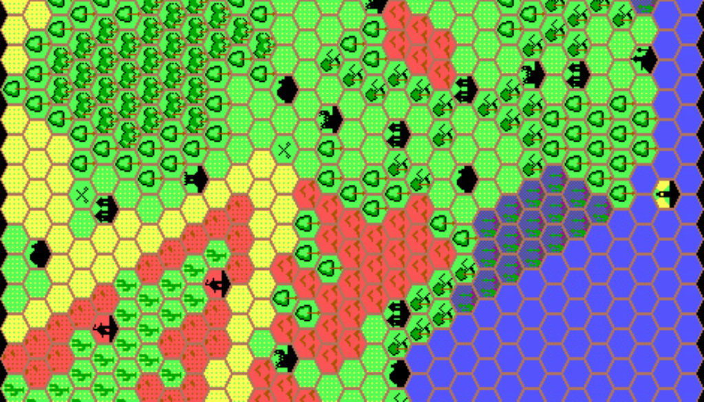
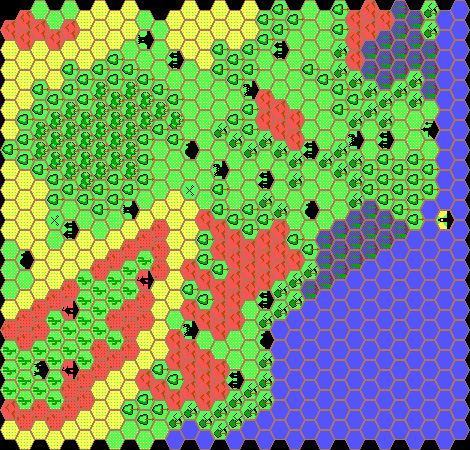
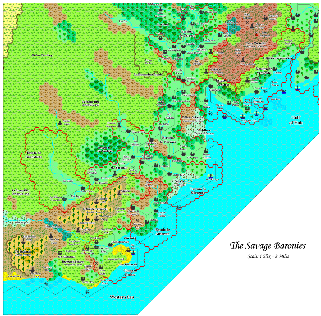
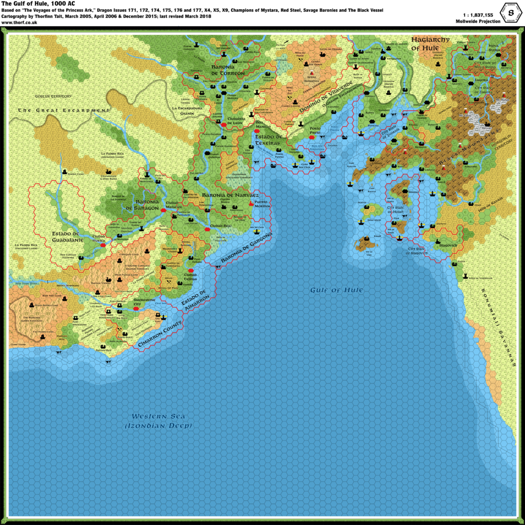
Thibault’s Dragon 175 Savage Baronies, 8 miles per hex
While Renardy, 8 miles per hex was Thibault’s first posted map, it was far from the only map he had made by that point, in June 1999. Indeed, he commented that he had been working with Grid for two years already. This map from December 1997 is the earliest remaining file from his archives, and the only one with a 1997 timestamp. That doesn’t necessarily mean that this was the first map he made; there is much evidence to point to extensive mapping work earlier in 1997. But it’s the earliest one remaining.
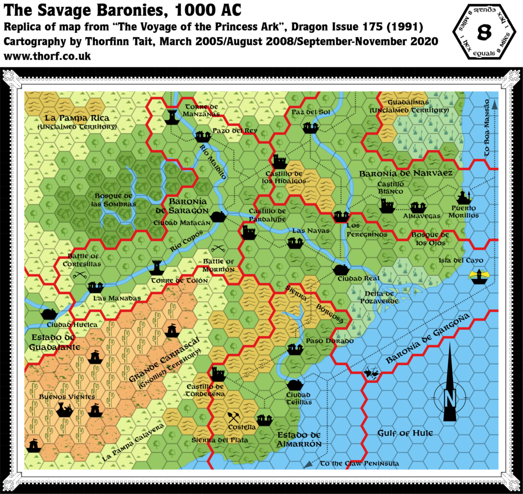
It’s a pretty straight conversion of Dragon 175’s Savage Baronies map — very clearly still a work in progress, as it is still missing labels, rivers, roads, etc. Thibault was also still working out how to do irregular coasts, so the coasts are just regular hexagons.
One fun point of interest is the castle symbol, which has a little tower jutting out to the right. Otherwise, the hexes of course point to the left, as with all of Thibault’s early Grid maps.
Fan-made Map by Thibault Sarlat (December 1997)
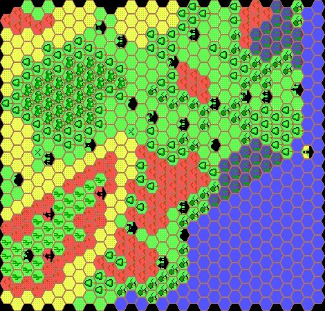
by Thibault Sarlat, December 1997
This is an original map created by one of Mystara’s excellent fan cartographers. For more information on the cartographer, including a gallery of all their maps, see also Appendix M: Mappers of Mystara.
Sources
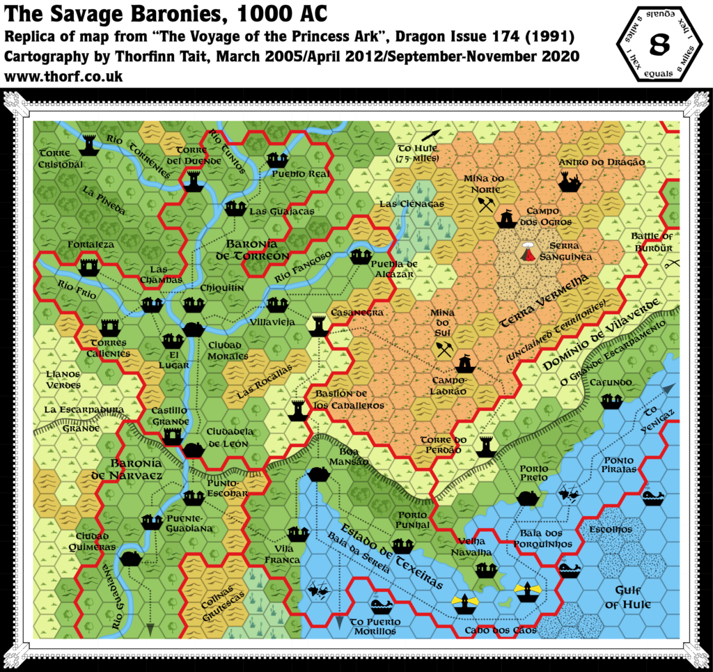
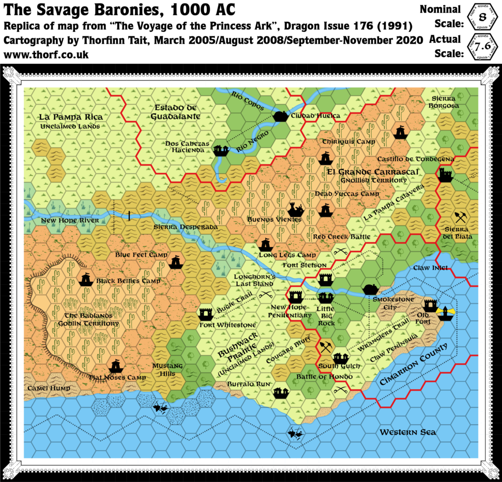
- The Voyage of the Princess Ark Part 22: Arsenic and old mantillas, Dragon 175 (November 1991)
References
- All of Thibault’s maps at the Atlas of Mystara
- Thibault’s entry in Appendix M: Mappers of Mystara (upcoming)
- Thibault’s author page at the Vaults of Pandius
Chronological Analysis
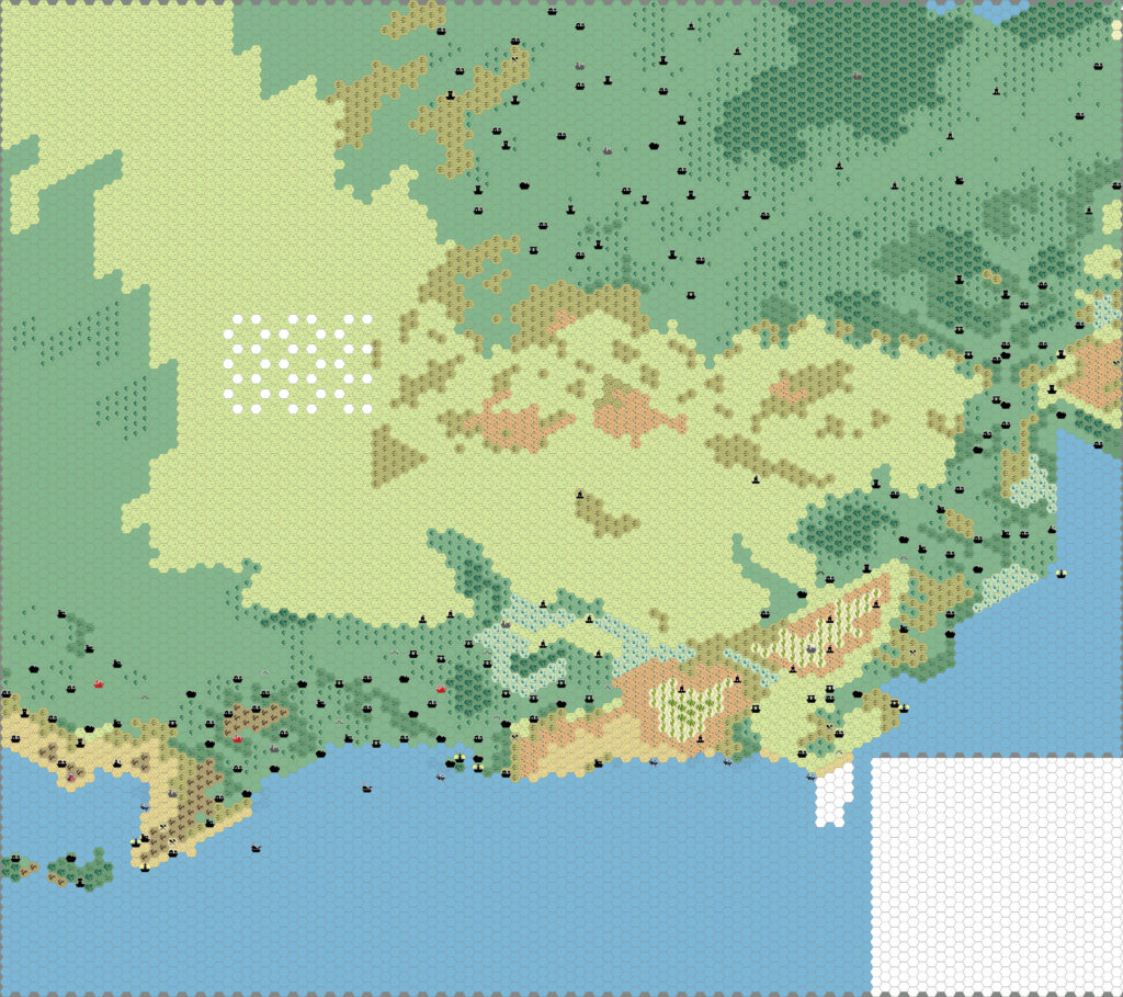
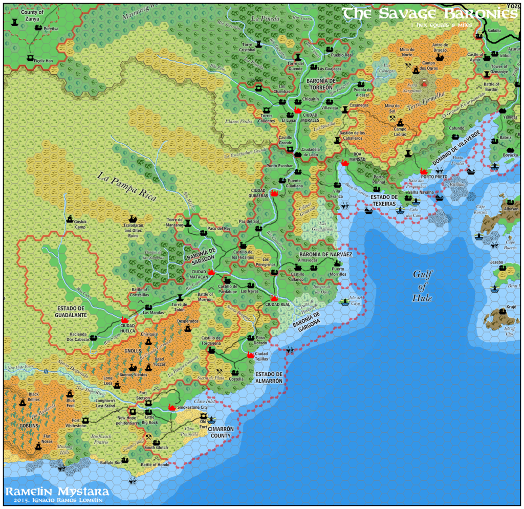
This is a fan-made map. It was published in December 1997. The updated Atlas version of this map is Gulf of Hule, 8 miles per hex. See also Appendix C for annual chronological snapshots of the area. For the full context of this map in Mystara’s publication history, see the upcoming Let’s Map Mystara 1997.
The following lists are from the Let’s Map Mystara project. Additions are new features, introduced in this map. Revisions are changes to previously-introduced features. Hex Art & Fonts track design elements. Finally, Textual Additions are potential features found in the related text. In most cases, the Atlas adopts these textual additions into updated and chronological maps.
Coming Soon

