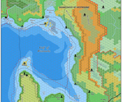
Thibault’s Eastern Brun, 24 miles per hex
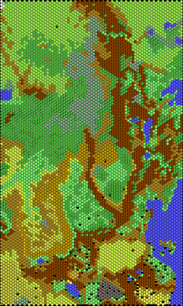
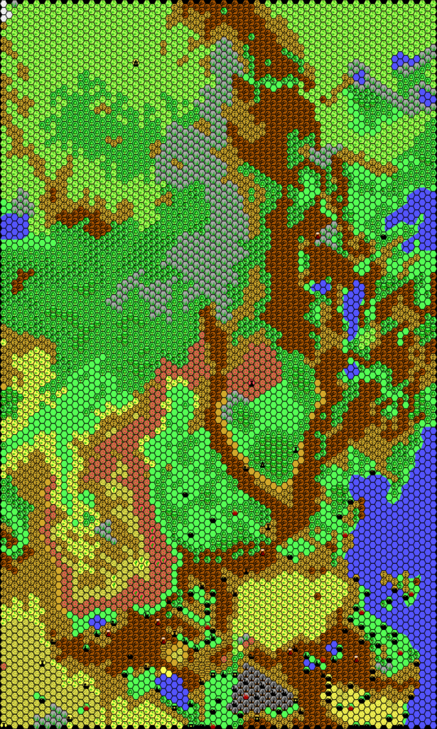
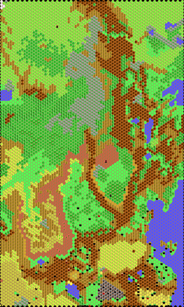
Thibault labelled the filename for this map “the north”, as it shows the area bordering on the north of the Known World — and beyond. In fact, it shows an extensive section of terrain, encompassing half of the Known World as well as large parts of Norwold, the Adri Varma, Wendar & Denagoth, and the Midlands west of Norwold. With such a large area, the name is rather hard to pin down.
The map originated in May 2000, with two minor palette upgrades thereafter: first changing to a black hex grid in January 2001, then a full palette change in September the same year. Otherwise, all three versions are functionally identical.
The significance of this map lies in its coverage of the areas west of Norwold and northwest of the Known World: the Adri Varma and the lands beyond. None of this area ever appeared on an official hex map, and thus these areas can be problematic to map. Thibault made a great effort here to begin this process, adapting the base terrain from the existing rather vague designs, and sculpting it into a flowing landscape to match the more established parts of the map.
Fan-made Map by Thibault Sarlat (September 2001)
Fan-made Maps by Thibault Sarlat (January 2001, May 2000)
This is an original map created by one of Mystara’s excellent fan cartographers. For more information on the cartographer, including a gallery of all their maps, see also Appendix M: Mappers of Mystara.
Sources
- Hollow World Campaign Set (1990) (PDF at DriveThruRPG)
- Outer World Planetary Map
References
- All of Thibault’s maps at the Atlas of Mystara
- Thibault’s entry in Appendix M: Mappers of Mystara (upcoming)
- Thibault’s author page at the Vaults of Pandius
Chronological Analysis
This is a fan-made map. It was published in 2000 and revised in 2001. The updated Atlas version of this map is not yet available. See also Appendix C for annual chronological snapshots of the area. For the full context of this map in Mystara’s publication history, see the upcoming Let’s Map Mystara 2000 and 2001. (Please note that it may be some time before the project reaches this point.)
The following lists are from the Let’s Map Mystara project. Additions are new features, introduced in this map. Revisions are changes to previously-introduced features. Hex Art & Fonts track design elements. Finally, Textual Additions are potential features found in the related text. In most cases, the Atlas adopts these textual additions into updated and chronological maps.
Coming Soon

