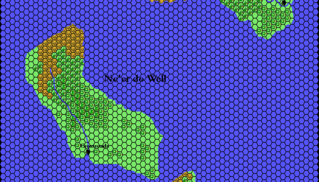
Thibault’s Gaity and Ne’er-do-well, 8 miles per hex
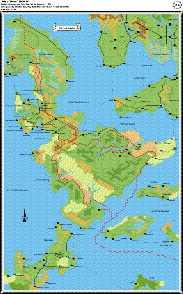
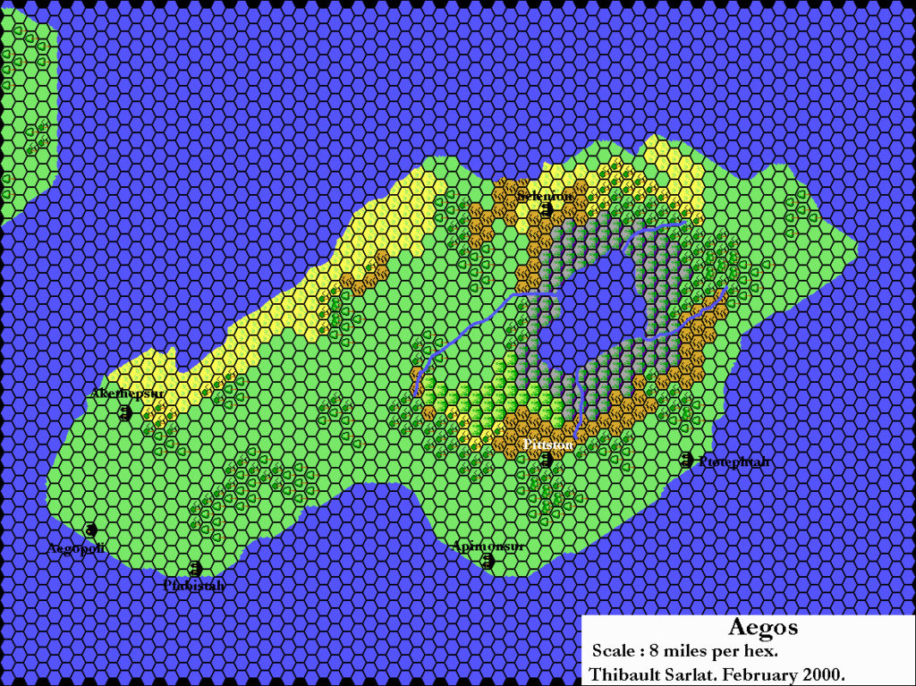
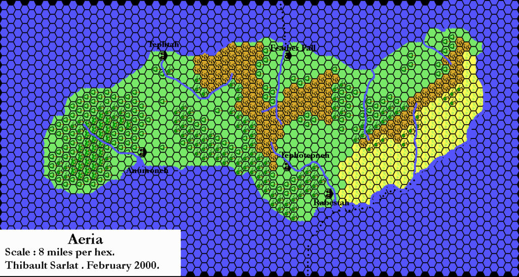
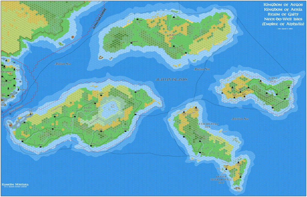
Thibault’s Alatian Island maps were a continuation of his work converting 24 mile per hex (and smaller scaled) maps to 8 miles per hex. They followed right on the heels of his initial map of the Isle of Dawn, in early February 2000. This also placed them mere months before he changed to upright hex art. He updated them in July 2002 with a black hex grid; both versions are presented below. Although he never released individual versions with his later upright hex art, he did work up the terrain to include in his final Isle of Dawn maps.
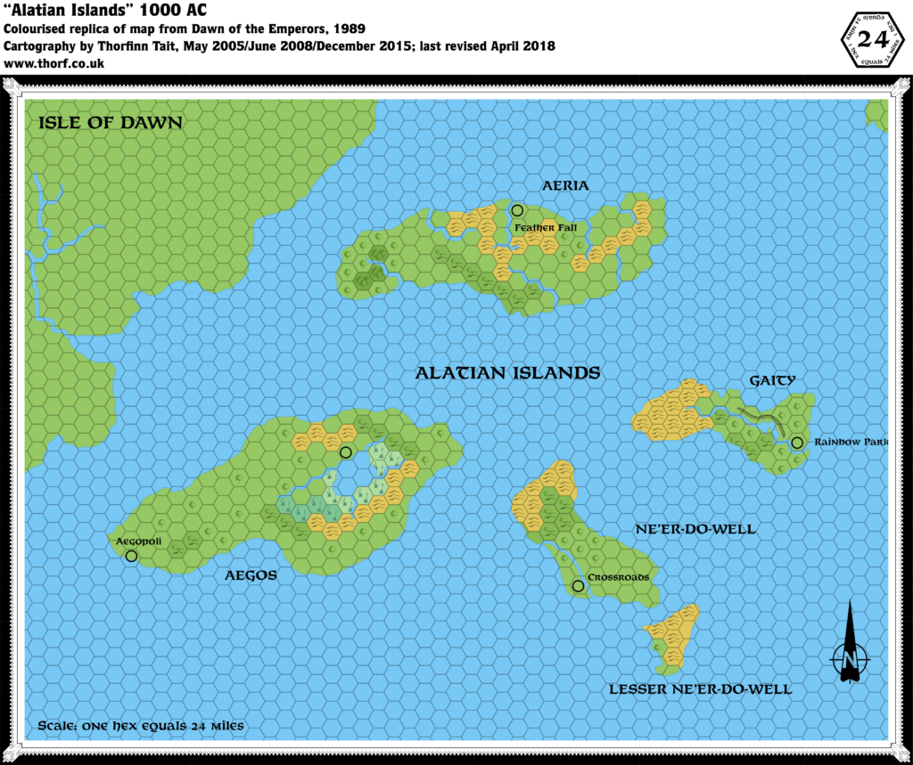
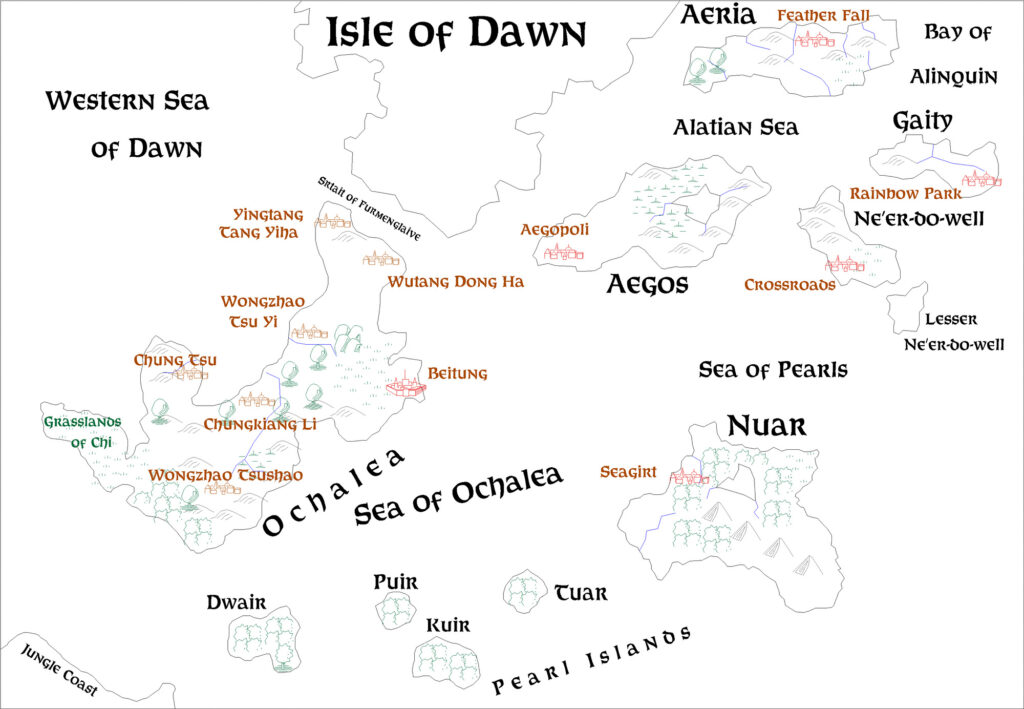
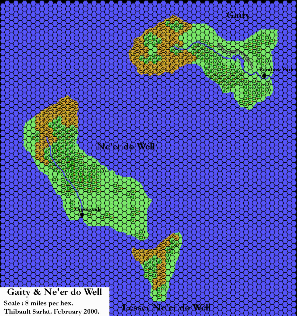
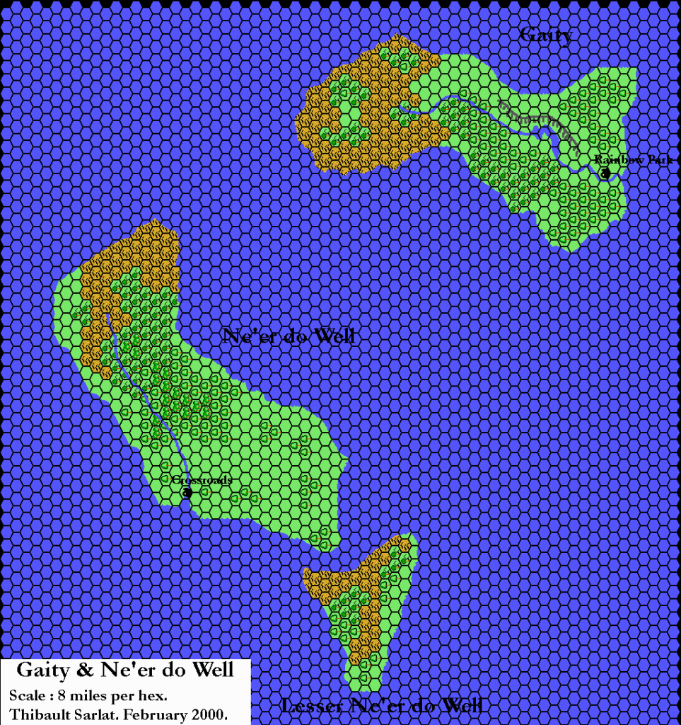
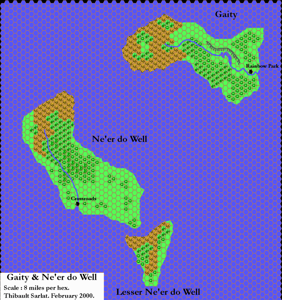
This is the third and final map of the set, presenting the three smallest islands of the Alatians: Gaity, Ne’er-do-well, and Lesser Ne’er-do-well. The most significant added detail is on Gaity, where Thibault changed the part of the river that runs at the bottom of the plateau into a long, thin section of lake.
Fan-made Map by Thibault Sarlat (July 2002)
Fan-made Map by Thibault Sarlat (February 2000)
This is an original map created by one of Mystara’s excellent fan cartographers. For more information on the cartographer, including a gallery of all their maps, see also Appendix M: Mappers of Mystara.
Sources
- Dawn of the Emperors (1989) (PDF at DriveThruRPG)
- Wrath of the Immortals (1992) (PDF at DriveThruRPG)
References
- All of Thibault’s maps at the Atlas of Mystara
- Thibault’s entry in Appendix M: Mappers of Mystara (upcoming)
- Thibault’s author page at the Vaults of Pandius
Chronological Analysis
This is a fan-made map. It was published in February 2000 and revised in July 2002. The updated Atlas version of this map is not yet available. See also Appendix C for annual chronological snapshots of the area. For the full context of this map in Mystara’s publication history, see the upcoming Let’s Map Mystara 2000.
The following lists are from the Let’s Map Mystara project. Additions are new features, introduced in this map. Revisions are changes to previously-introduced features. Hex Art & Fonts track design elements. Finally, Textual Additions are potential features found in the related text. In most cases, the Atlas adopts these textual additions into updated and chronological maps.
Coming Soon

