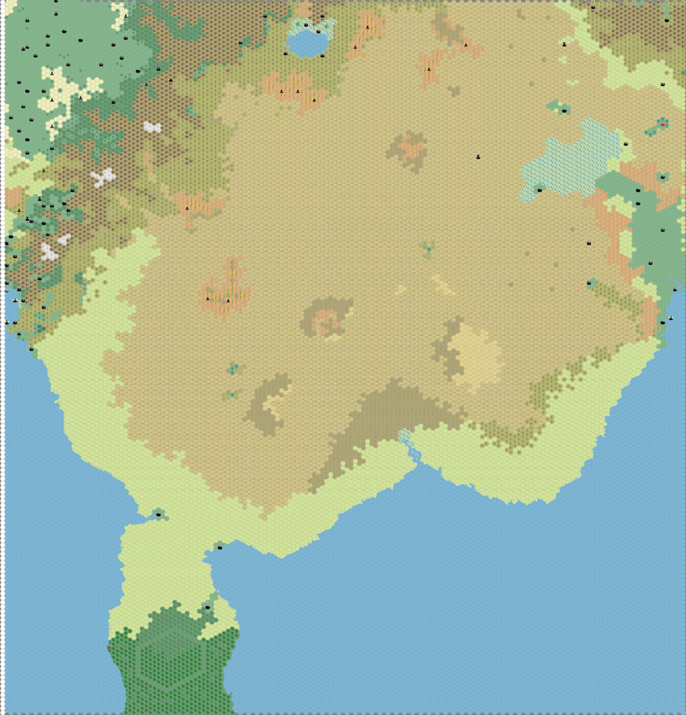
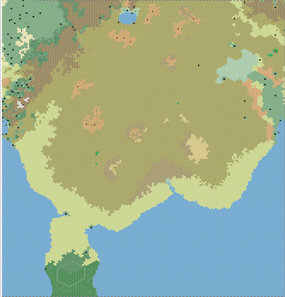
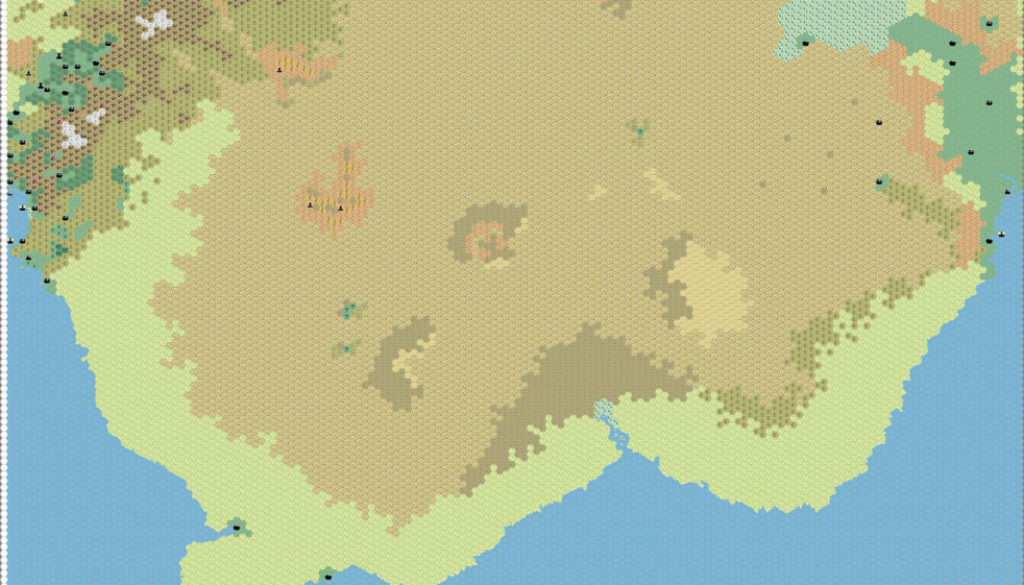
Thibault’s Great Waste, 8 miles per hex
Thibault had previously created 8 mile per hex maps of Sind and the eastern Great Waste, as well as Hule and the western edges of the desert. But this was his first time putting together a map linking these two areas, and in so doing enabling the Known World trail maps to be joined up with those of the Savage Coast. This is a huge achievement, and indeed a longtime dream of many a Mystara fan.
The first versions of this map come from early summer 2004, when Thibault was also working on the neighbouring map of Hule, the Savage Baronies, and the City States. He then came back to the area a year later, by which point he had replaced the rocky desert symbol with a lighter shade. There were two other main alterations: he tweaked the mountains of Sind in the northeastern corner of the map, moving them a hex to the southeast; and he added a lot of detail to the Black Mountains in the northwest of the map.
In terms of significance, this was the first time that anyone had mapped the entire Great Waste at this scale. It suffers from the usual problem with vast deserts, which are by definition pretty featureless, and yet require features to make large scale maps at all meaningful. Thibault did a pretty good job of adding detail in a restrained kind of way, leaving vast tracts of desert blank while putting in smaller areas of detail. The balance seems about right.
He never got as far as adding the rivers and other linework, nor the labels. But the base terrain alone was a major achievement.
Fan-made Map by Thibault Sarlat (July 2005)

Fan-made Map by Thibault Sarlat (June 2004)

This is an original map created by one of Mystara’s excellent fan cartographers. For more information on the cartographer, including a gallery of all their maps, see also Appendix M: Mappers of Mystara.
Sources
- X4 Master of the Desert Nomads (1983) (PDF at DriveThruRPG)
- The Voyage of the Princess Ark Part 16: Conspiracies within conspiracies, Dragon #169 (May 1991)
- The Voyage of the Princess Ark Part 18: The Slagovich affair, Dragon #171 (July 1991)
- The Voyage of the Princess Ark Part 19: Hule!, Dragon #172 (August 1991)
- Champions of Mystara (1993) (PDF at DriveThruRPG)
Fan Sources
- Thibault’s Hule, 8 miles per hex (July-August 2001)
- Thibault’s Sind, 8 miles per hex (February 2000)
References
- All of Thibault’s maps at the Atlas of Mystara
- Thibault’s entry in Appendix M: Mappers of Mystara (upcoming)
- Thibault’s author page at the Vaults of Pandius
Chronological Analysis
This is a fan-made map. It was begun in June 2004 and revised in July 2005. The updated Atlas version of this map is not yet available. See also Appendix C for annual chronological snapshots of the area. For the full context of this map in Mystara’s publication history, see the upcoming Let’s Map Mystara 2004 and 2005.
The following lists are from the Let’s Map Mystara project. Additions are new features, introduced in this map. Revisions are changes to previously-introduced features. Hex Art & Fonts track design elements. Finally, Textual Additions are potential features found in the related text. In most cases, the Atlas adopts these textual additions into updated and chronological maps.
Coming Soon


