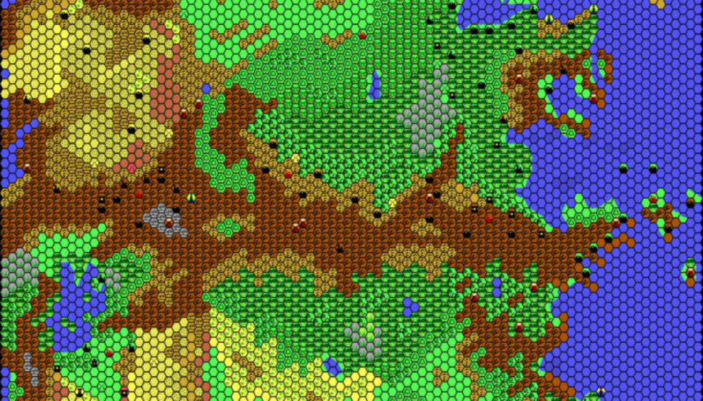
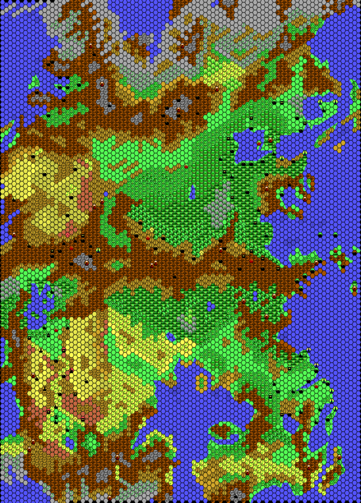
Thibault’s Iciria, 40 miles per hex
Thibault mapped out four fifths of Iciria back in June 2000, but it wasn’t until April of the next year that he completed the eastern fifth and posted the full completed map.
This was the first attempt by anyone to merge Northern and Southern Iciria into a single map. The only major problem area is the Traldar Kingdoms/Merry Pirate Seas, which differ slightly on each map, and Thibault went with a slightly different solution to what I did four years later. Either way is equally valid.
Fan-made Map by Thibault Sarlat (April 2001)
This is an original map created by one of Mystara’s excellent fan cartographers. For more information on the cartographer, including a gallery of all their maps, see also Appendix M: Mappers of Mystara.
Sources
- Hollow World Campaign Set (1990) (PDF at DriveThruRPG)
References
- All of Thibault’s maps at the Atlas of Mystara
- Thibault’s entry in Appendix M: Mappers of Mystara (upcoming)
- Thibault’s author page at the Vaults of Pandius
Chronological Analysis
This is a fan-made map. It was published in 2001. The updated Atlas version of this map is Hollow World, 40 miles per hex. See also Appendix C for annual chronological snapshots of the area. For the full context of this map in Mystara’s publication history, see the upcoming Let’s Map Mystara 2001. (Please note that it may be some time before the project reaches this point.)
The following lists are from the Let’s Map Mystara project. Additions are new features, introduced in this map. Revisions are changes to previously-introduced features. Hex Art & Fonts track design elements. Finally, Textual Additions are potential features found in the related text. In most cases, the Atlas adopts these textual additions into updated and chronological maps.
Coming Soon


