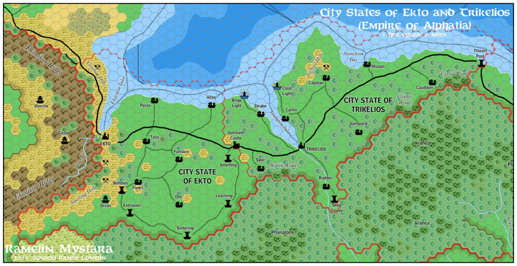
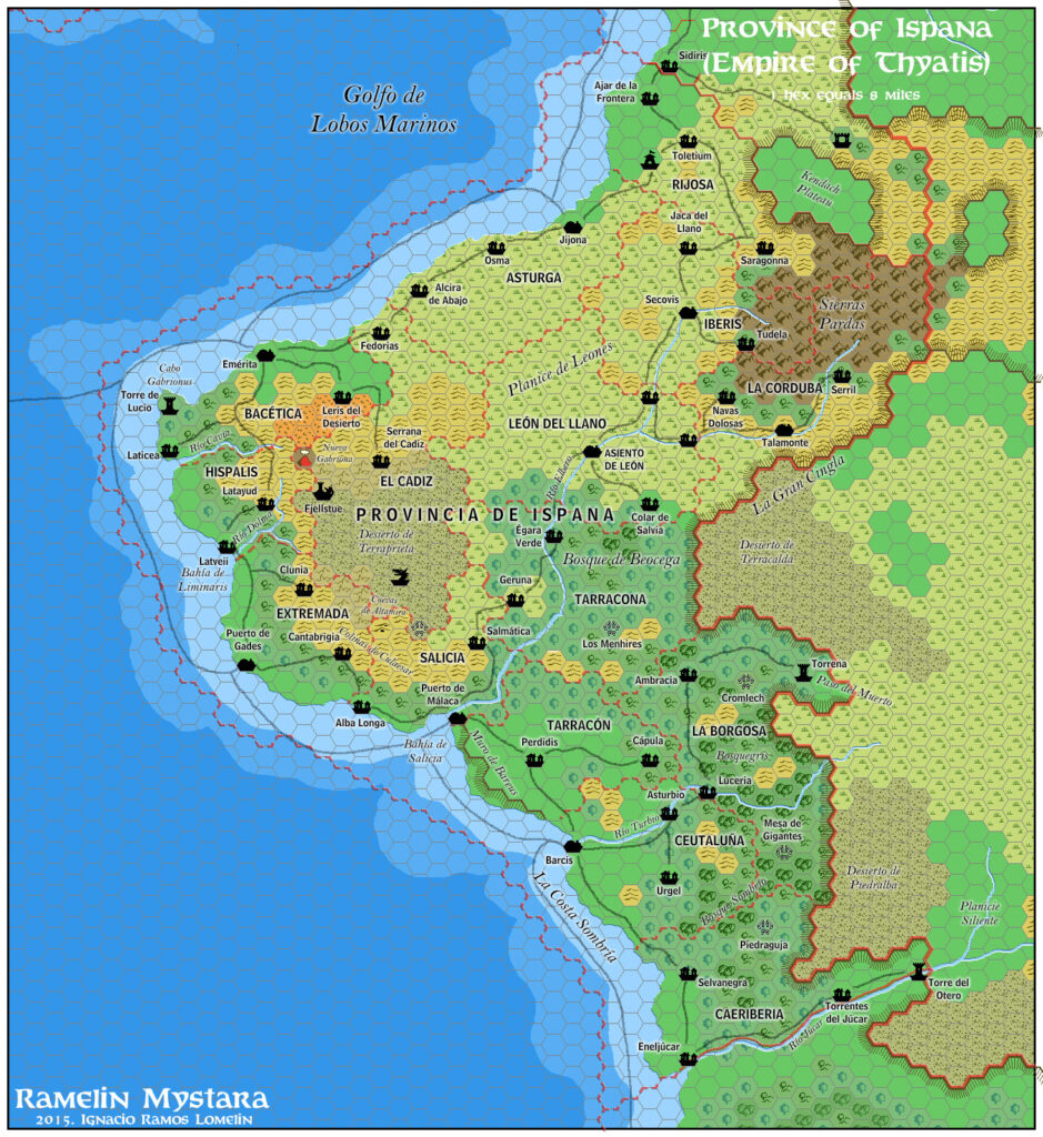
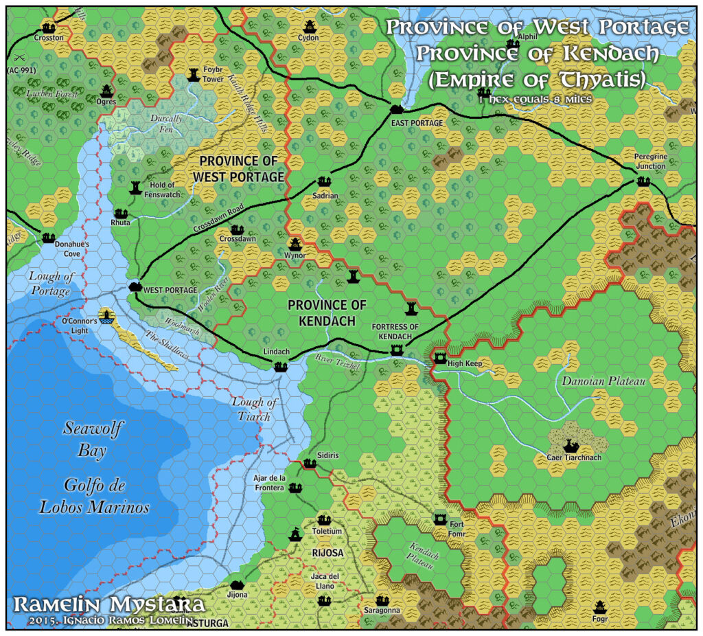
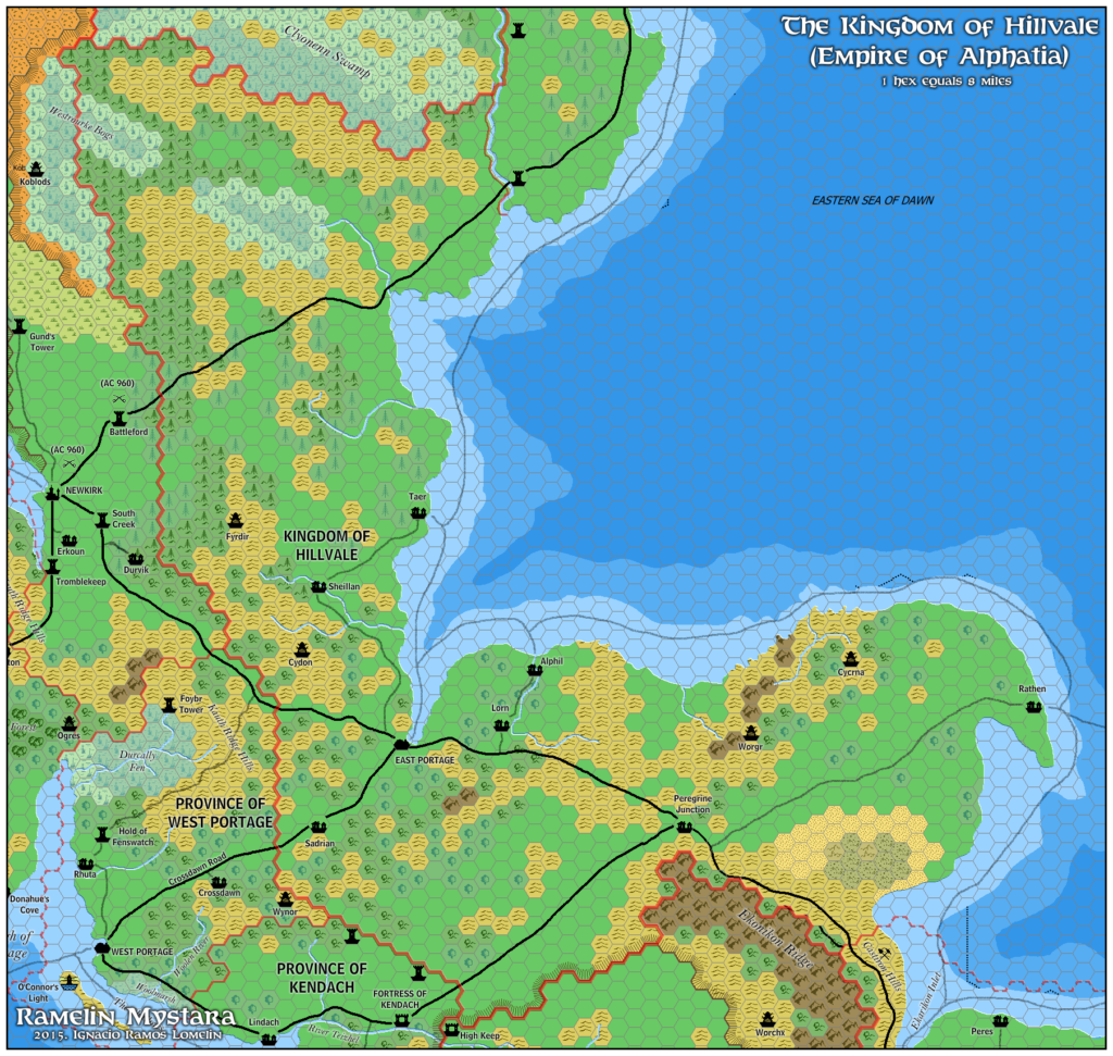
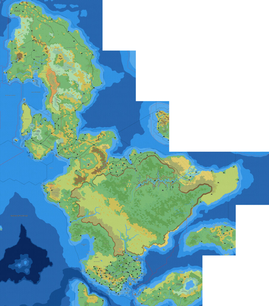
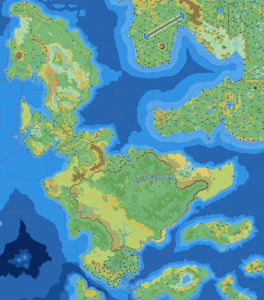
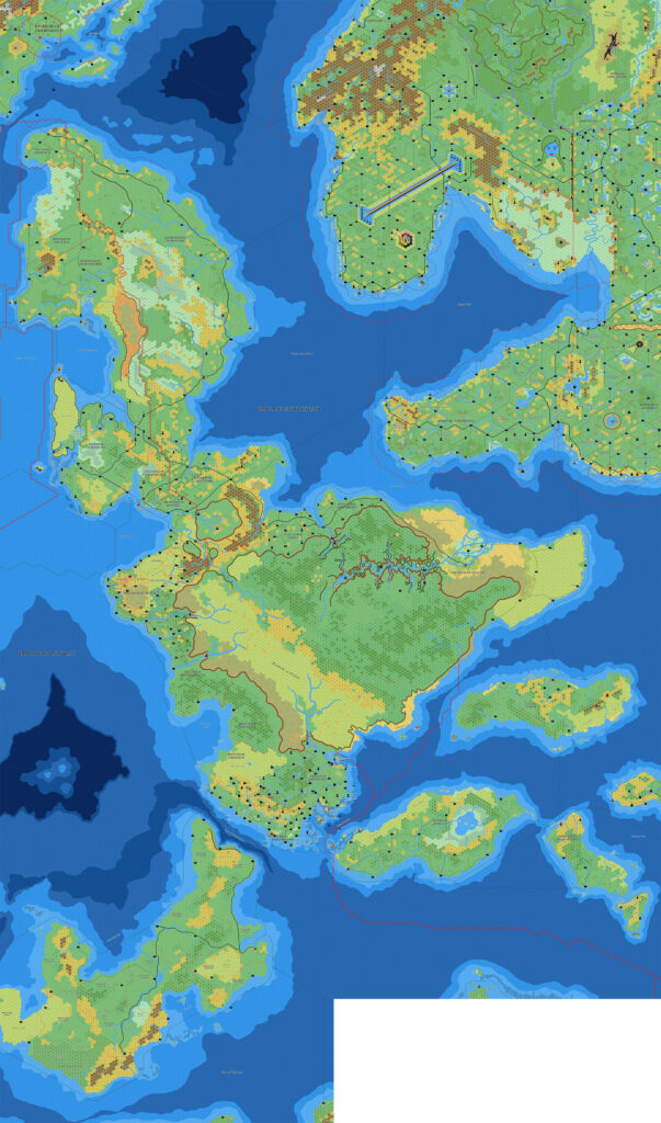
Thibault’s Isle of Dawn, 8 miles per hex 1998
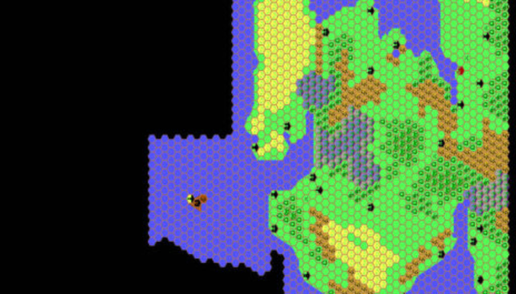
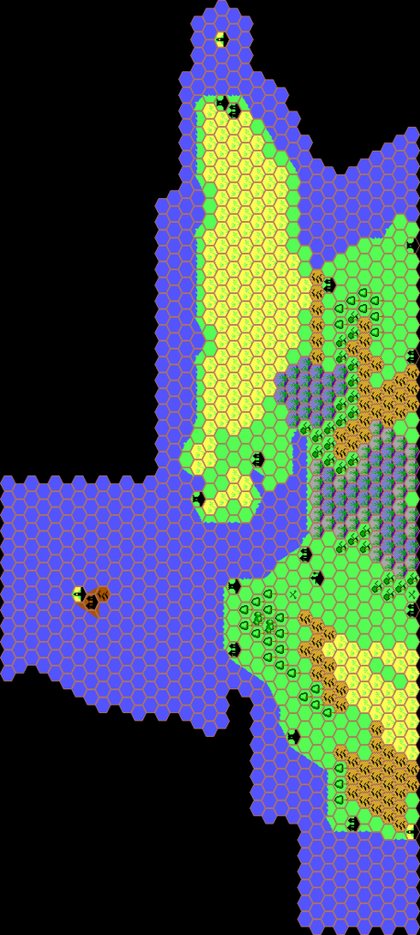
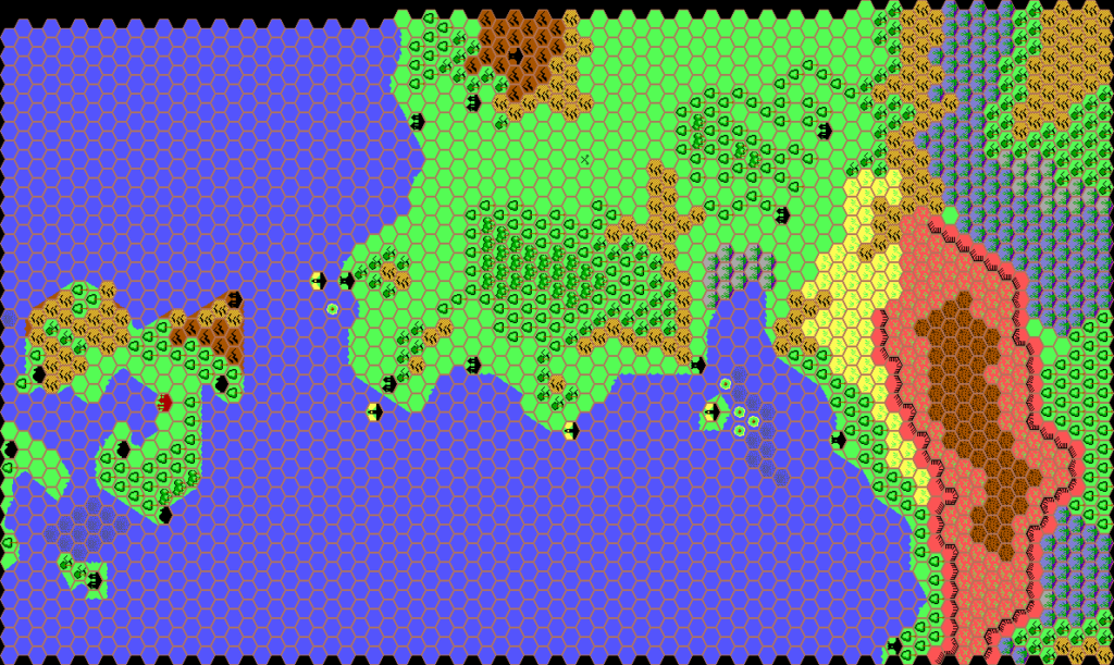
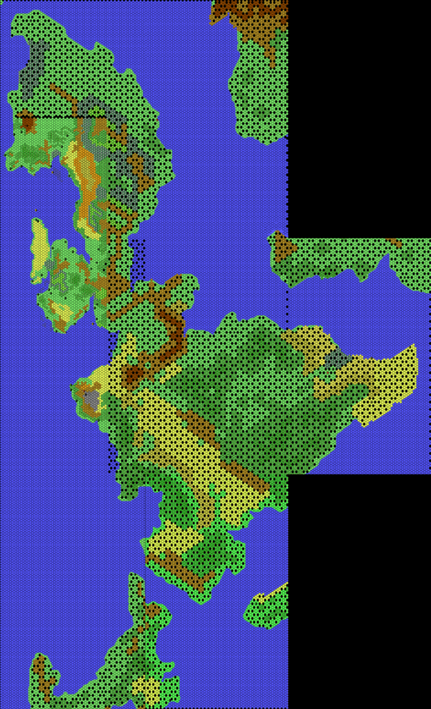
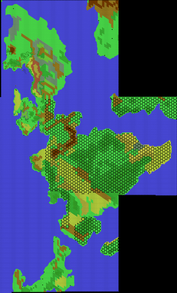
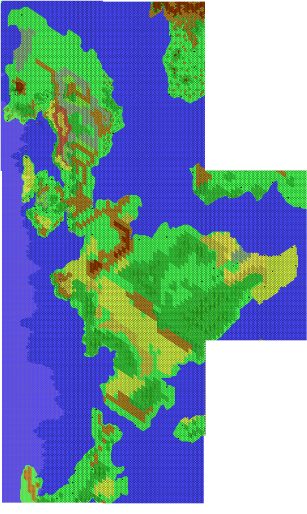
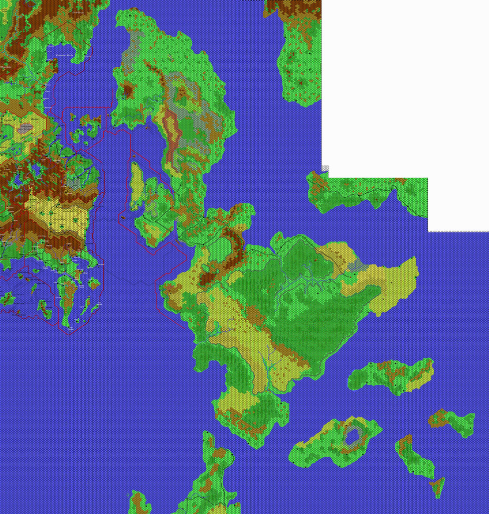
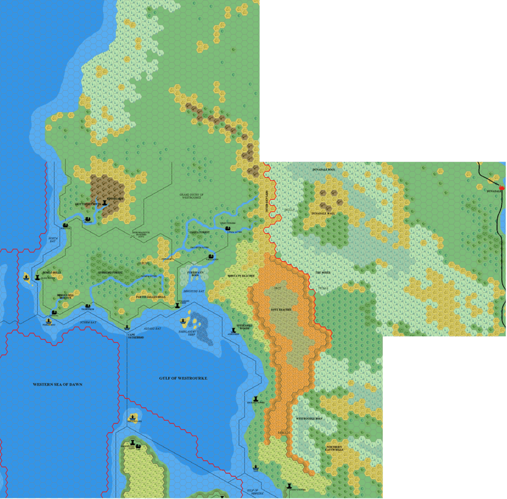
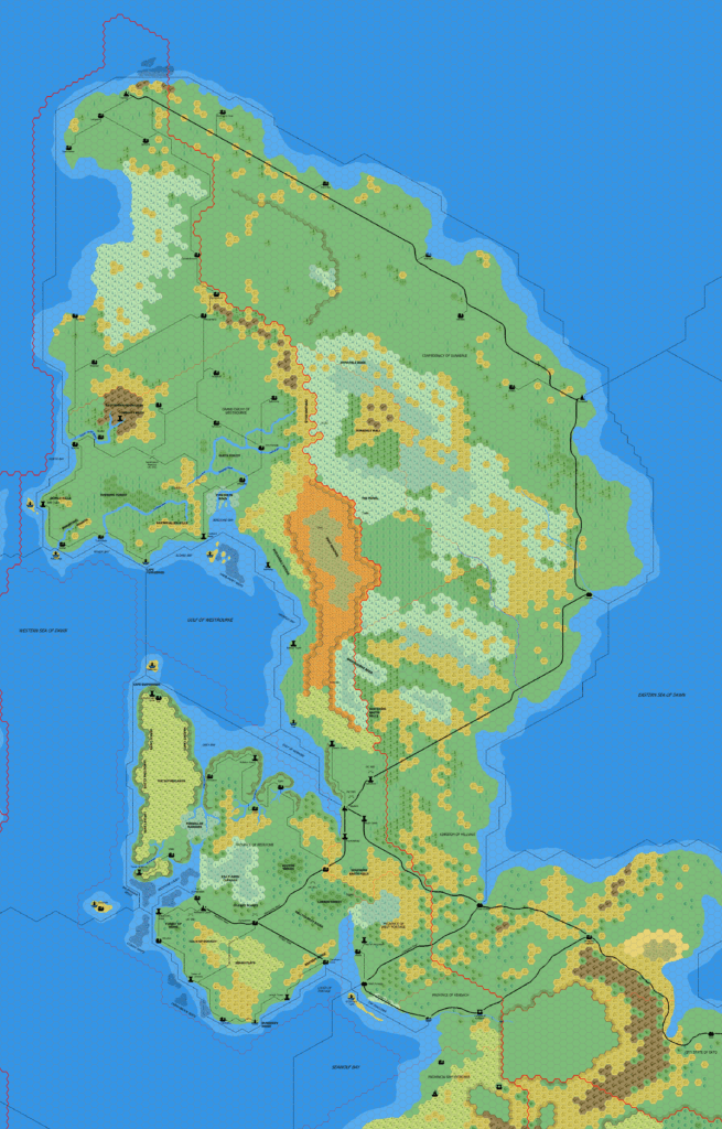
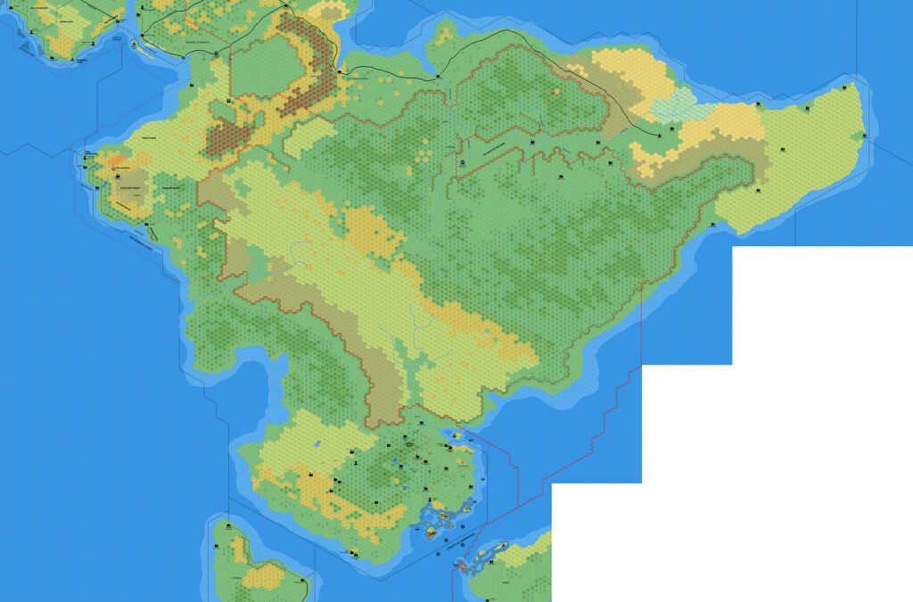
The Isle of Dawn was one of three areas that Thibault worked on in 1997, at the very beginning of his mapping projects. He completed the whole section shown in TM2, split into three separate maps (available below). The palette and symbols are of course among the earliest versions he used.
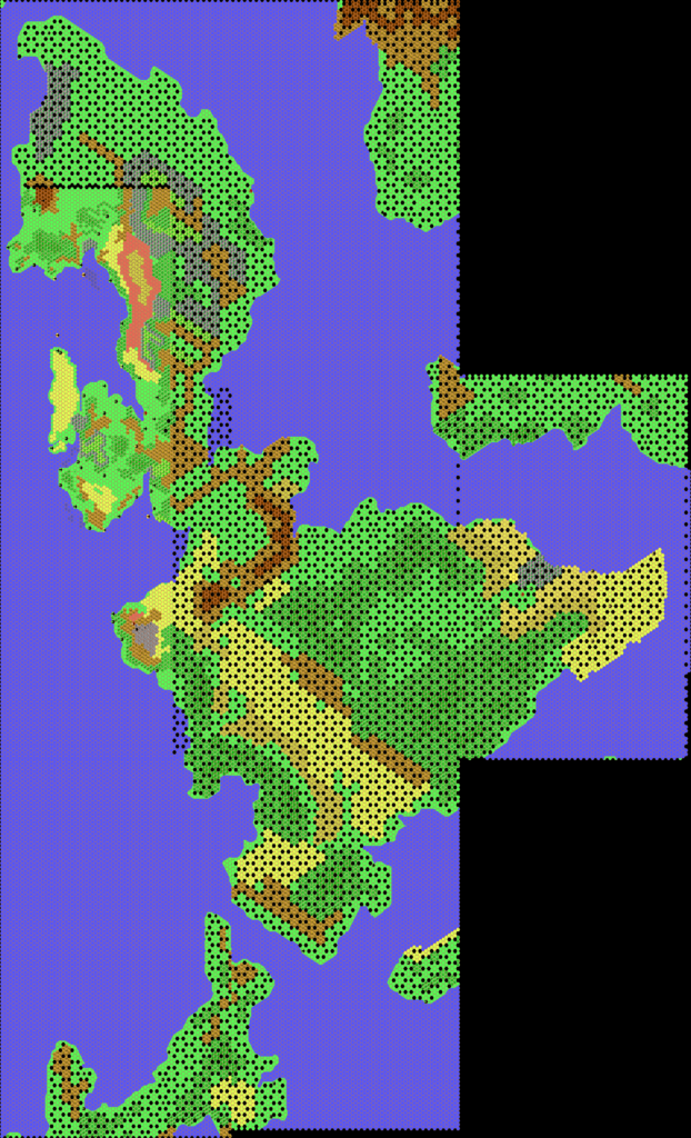
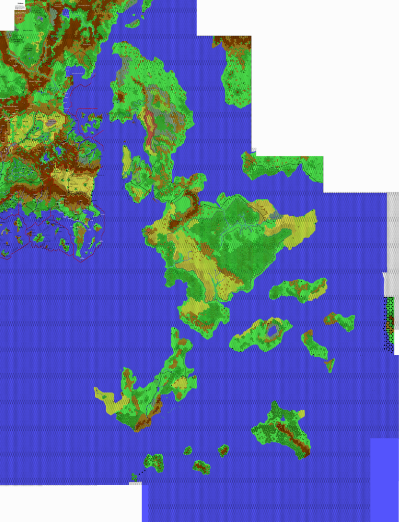
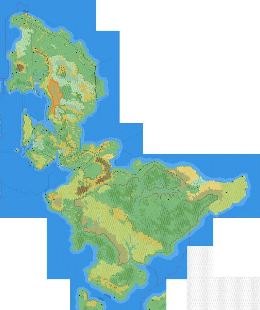
I have combined the three sections into a single map, showing the extent of Thibault’s coverage of the Isle of Dawn in January 1998. As you can see, he had all the terrain in place, minus the rivers and roads. He was working on a solution for coasts and plateaus, both of which appear as works in progress; his solution was to have a large selection of pre-built hexes to choose from to define an irregular coast.
This was to be the first of many maps of the Isle of Dawn, to which Thibault returned repeatedly during his time mapping Mystara.
Combining Fan-made Maps by Thibault Sarlat (July 2021)
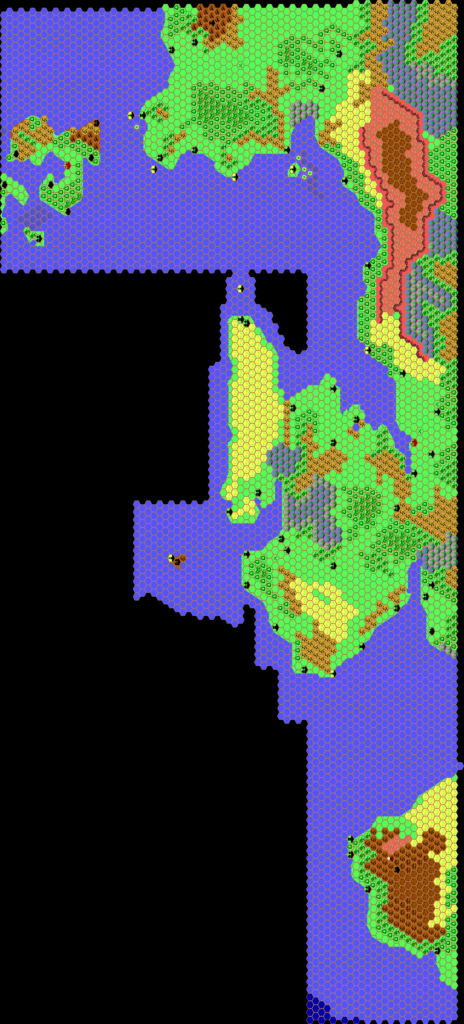
This is a composite of original maps created by one of Mystara’s excellent fan cartographers. For more information on the cartographer, including a gallery of all their maps, see also Appendix M: Mappers of Mystara.
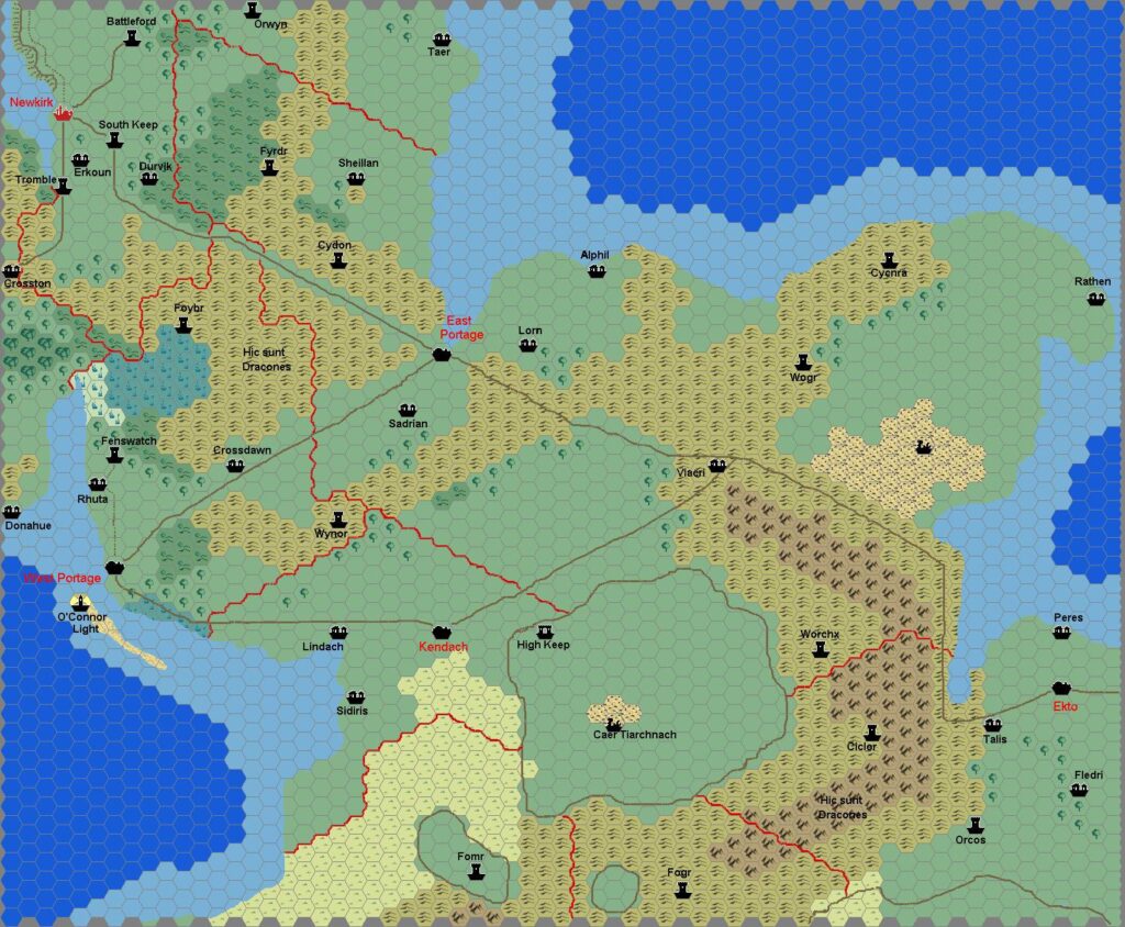
Fan-made Maps by Thibault Sarlat (January 1998)
This is an original map created by one of Mystara’s excellent fan cartographers. For more information on the cartographer, including a gallery of all their maps, see also Appendix M: Mappers of Mystara.
Sources
- TM2 The Eastern Countries (1989) (PDF at DriveThruRPG)
References
- All of Thibault’s maps at the Atlas of Mystara
- Thibault’s entry in Appendix M: Mappers of Mystara (upcoming)
- Thibault’s author page at the Vaults of Pandius
Chronological Analysis
This is a fan-made map. It was published in 1998. The updated Atlas version of this map is not yet available. See also Appendix C for annual chronological snapshots of the area. For the full context of this map in Mystara’s publication history, see the upcoming Let’s Map Mystara 1998. (Please note that it may be some time before the project reaches this point.)
The following lists are from the Let’s Map Mystara project. Additions are new features, introduced in this map. Revisions are changes to previously-introduced features. Hex Art & Fonts track design elements. Finally, Textual Additions are potential features found in the related text. In most cases, the Atlas adopts these textual additions into updated and chronological maps.
Coming Soon

