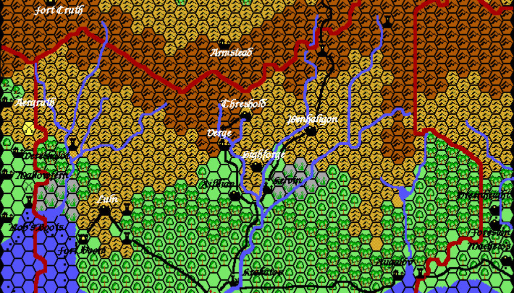
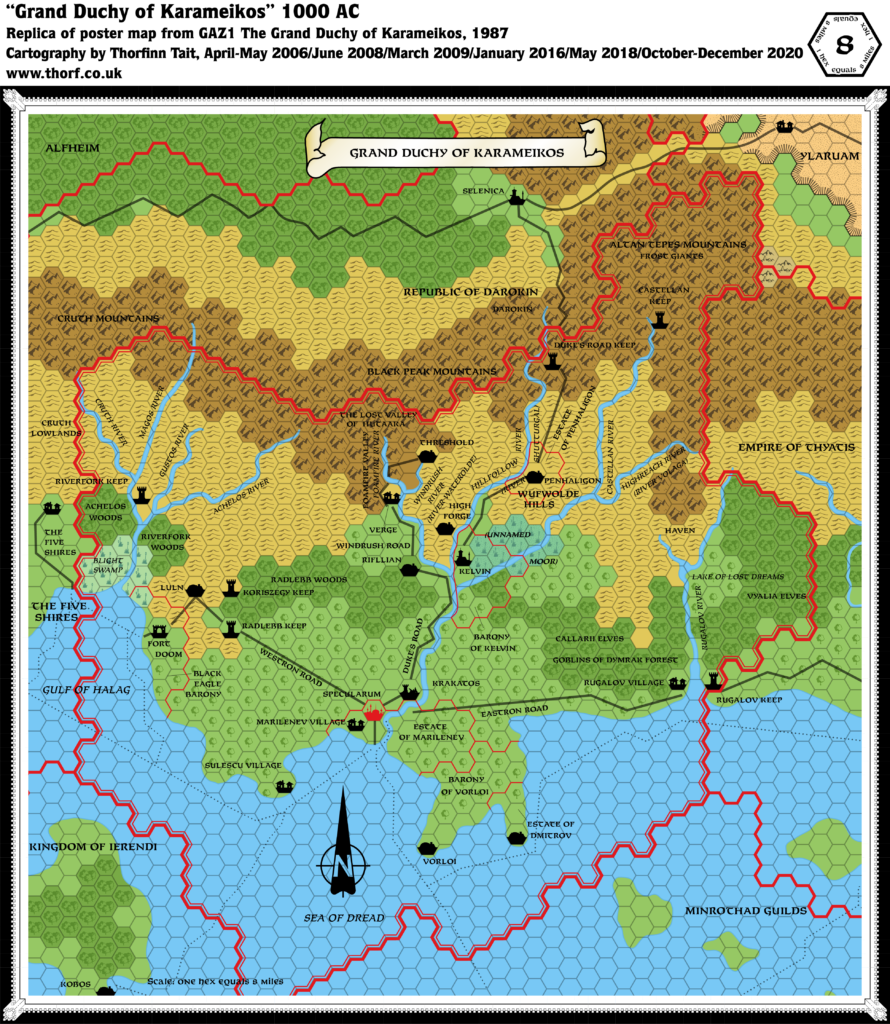
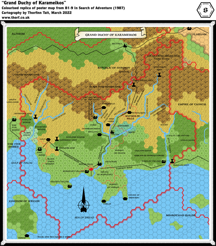
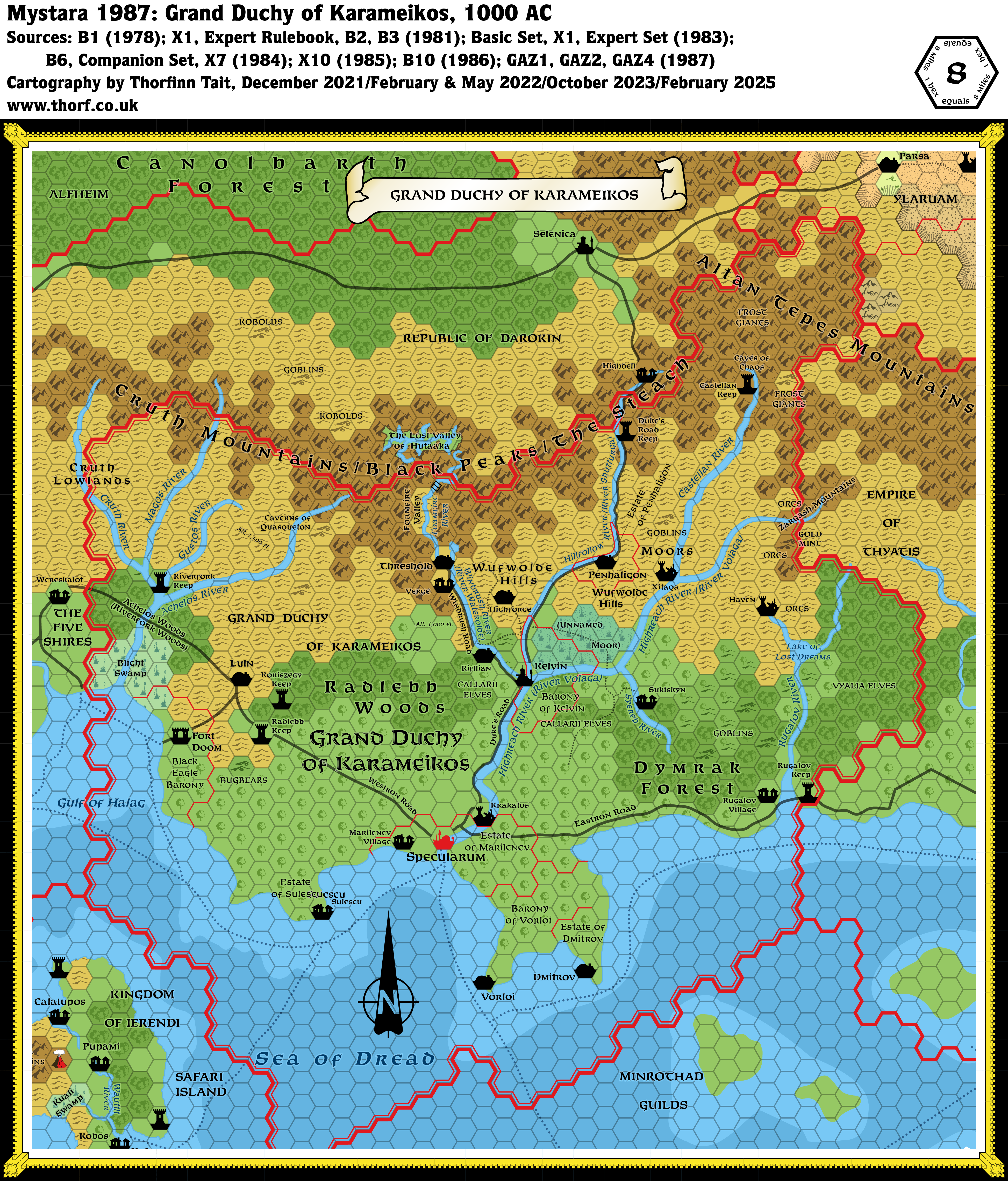
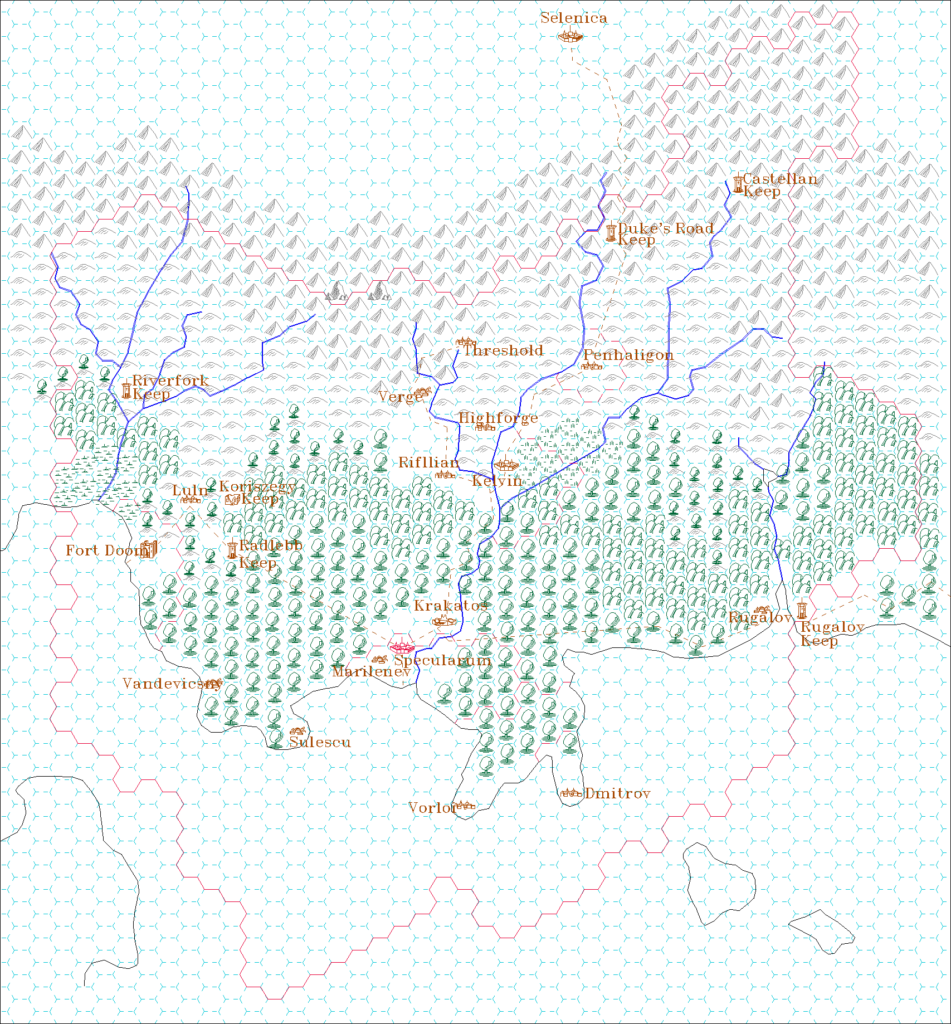
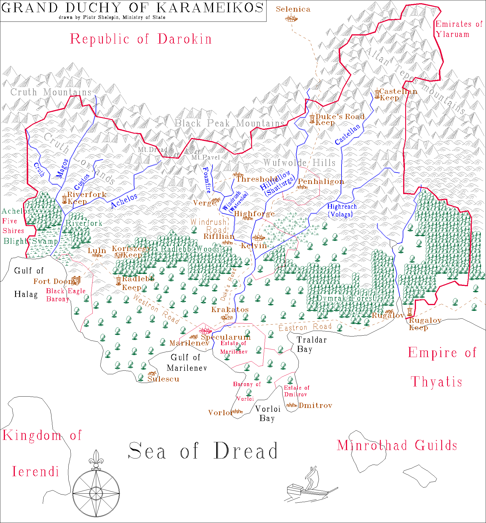
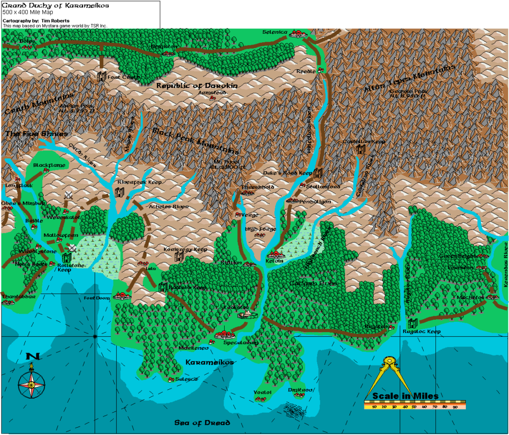
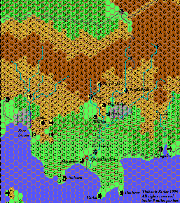
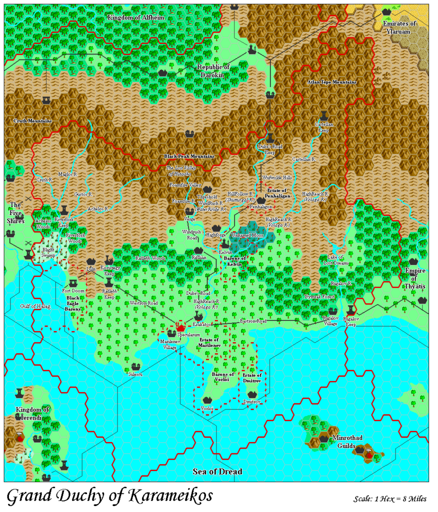
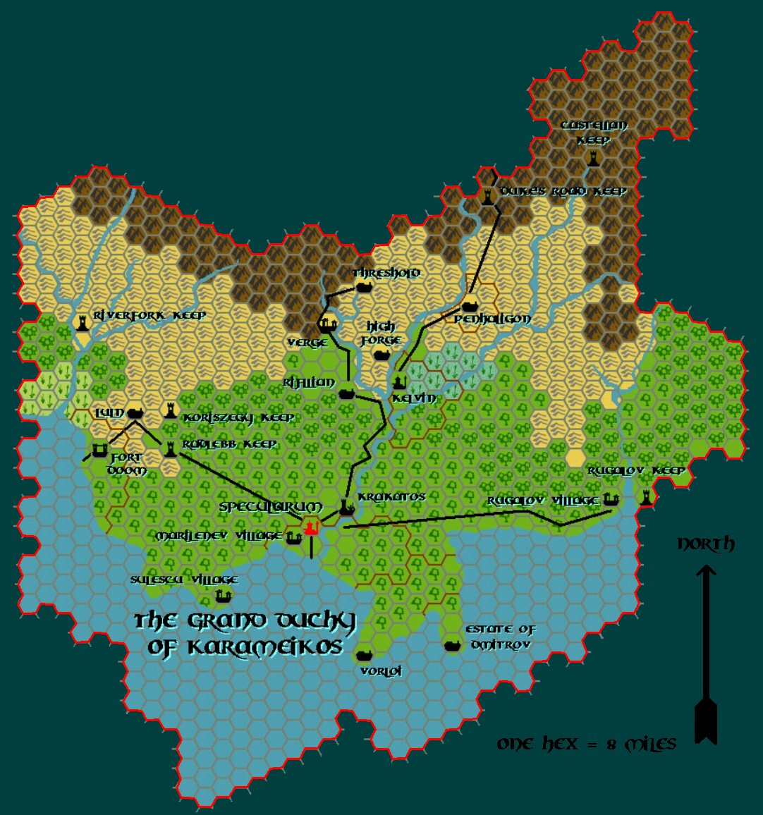
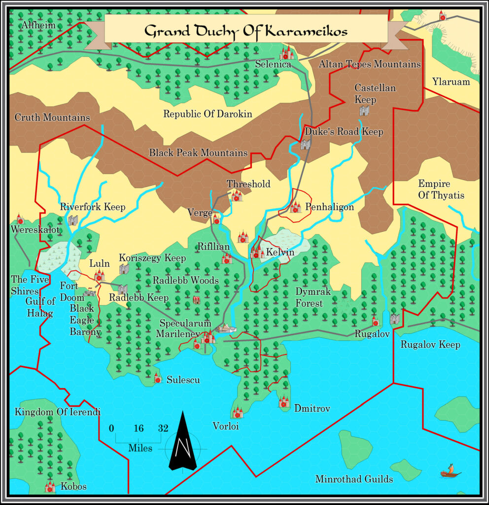
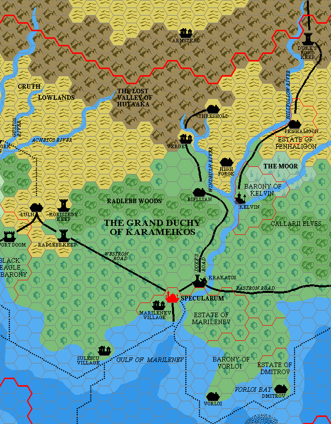
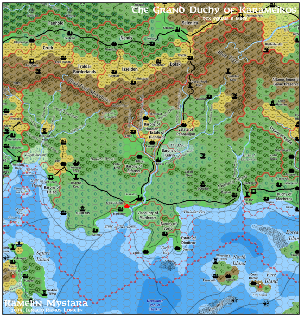
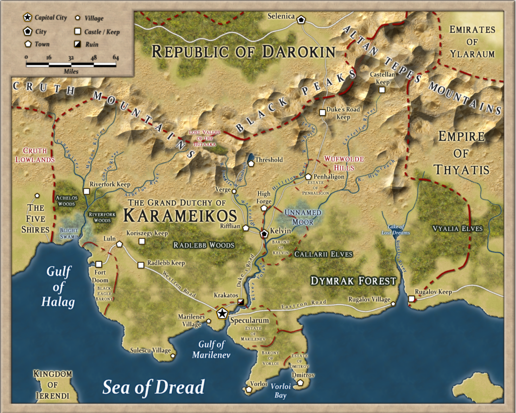
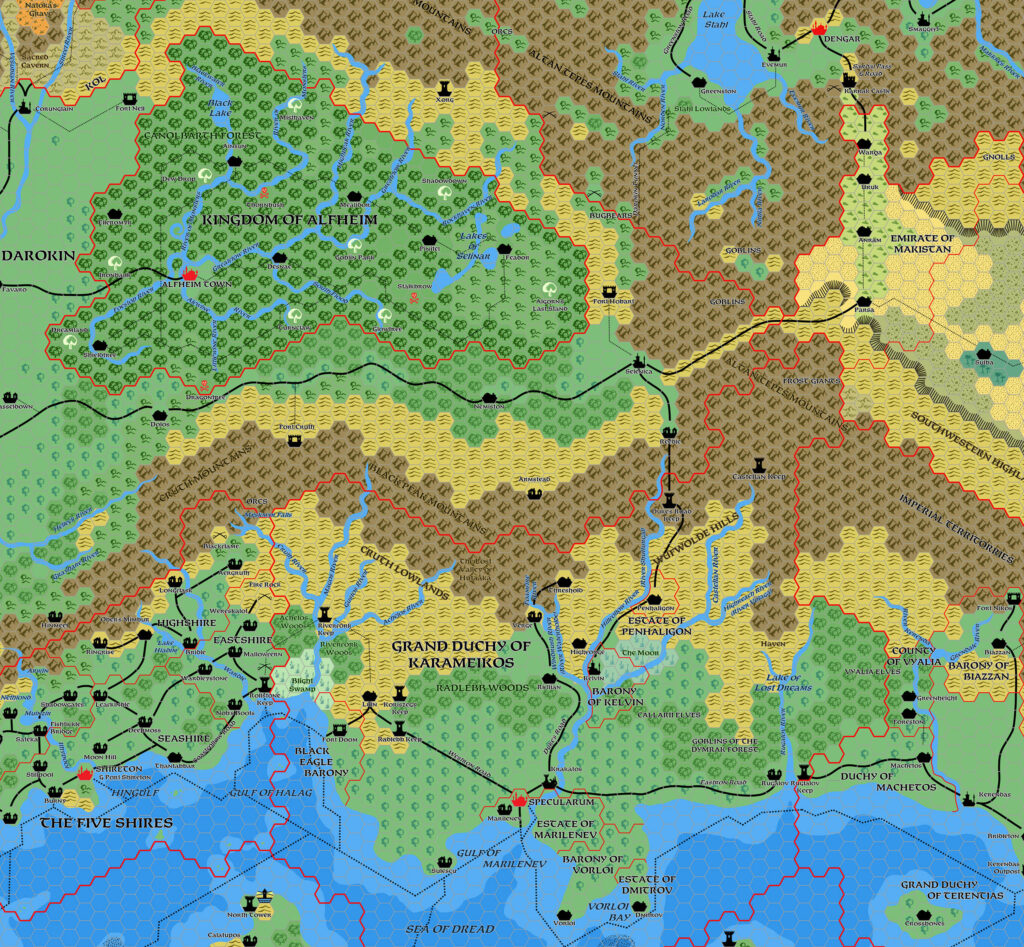
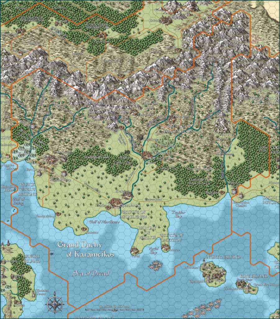
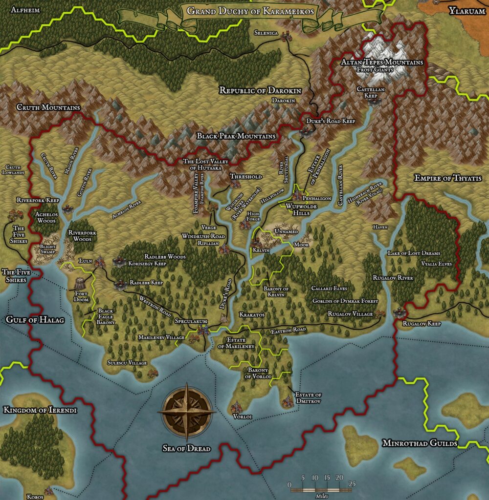
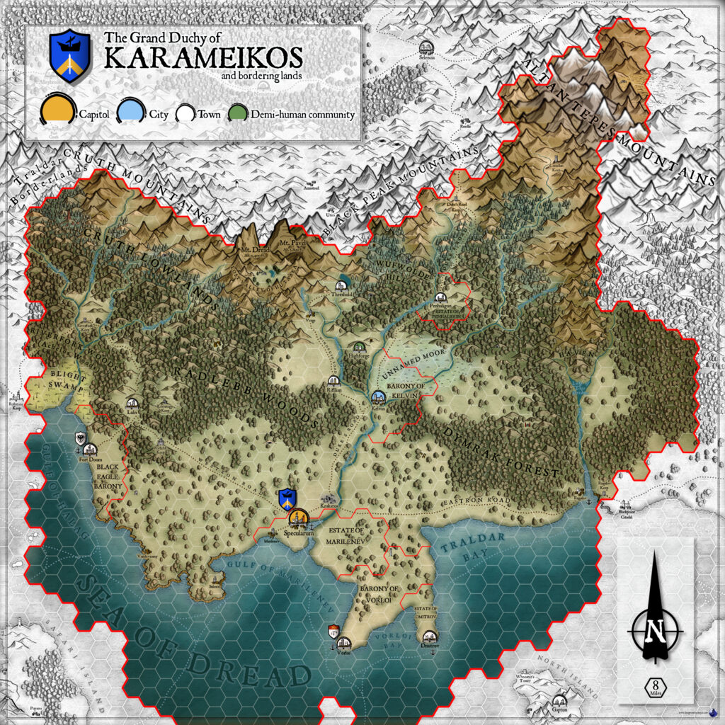
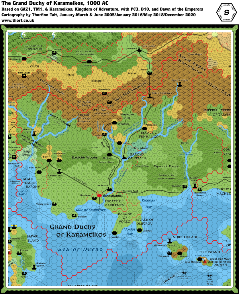
Thibault’s Karameikos, 8 miles per hex v2
March 2000 marked a turning point for Thibault’s mapping, as he made a major upgrade to his mapping system. For almost three years, he had been working with a system based on regular hex rows rather than Mystara’s usual regular hex rows, resulting in all of Thibault’s hex symbols being rotated 90º anticlockwise. No more! With the help of fellow Mystara fan Michael Grootenboer, this problem had finally been solved, and from this point on all of Thibault’s maps would feature upright hex symbols.
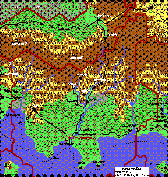
Somewhat fittingly, the first map Thibault published in this new style was a revised version of his Karameikos map. Aside from the new upright hex art, it also featured revised Great Home Trees as well as Good and Bad Magic Points. He also prepared a version without the Great Home Trees art, and that was the style he ultimately chose for the Alfheim map — though it seems he never substituted in the revised art on this map.
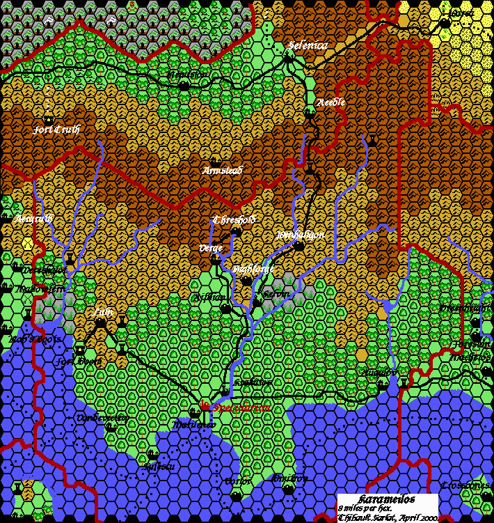
The first posted version of the map appeared in April 2000, though Thibault revised it with a black hex grid in October of the same year, then added Vandevicsny from Karameikos: Kingdom of Adventure at a later date. (The earliest version of this file I can find is dated 2004, though the edit may have occurred somewhat earlier.)
From here, Thibault would go on to redo the whole Known World in quick succession.
Fan-made Map by Thibault Sarlat (May 2004)
Fan-made Map by Thibault Sarlat (April 2000)
This is an original map created by one of Mystara’s excellent fan cartographers. For more information on the cartographer, including a gallery of all their maps, see also Appendix M: Mappers of Mystara.
Sources
- GAZ1 The Grand Duchy of Karameikos (1987) (PDF at DriveThruRPG)
- Karameikos: Kingdom of Adventure (1994) (PDF at DriveThruRPG)
References
- All of Thibault’s maps at the Atlas of Mystara
- Thibault’s entry in Appendix M: Mappers of Mystara (upcoming)
- Thibault’s author page at the Vaults of Pandius
Chronological Analysis
This is a fan-made map. It was published in 2000 and updated in 2001 and 2004. The updated Atlas version of this map is Karameikos, 8 miles per hex. See also Appendix C for annual chronological snapshots of the area. For the full context of this map in Mystara’s publication history, see the upcoming Let’s Map Mystara 2000, 2001 and 2004.
The following lists are from the Let’s Map Mystara project. Additions are new features, introduced in this map. Revisions are changes to previously-introduced features. Hex Art & Fonts track design elements. Finally, Textual Additions are potential features found in the related text. In most cases, the Atlas adopts these textual additions into updated and chronological maps.
Coming Soon

