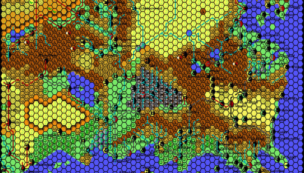
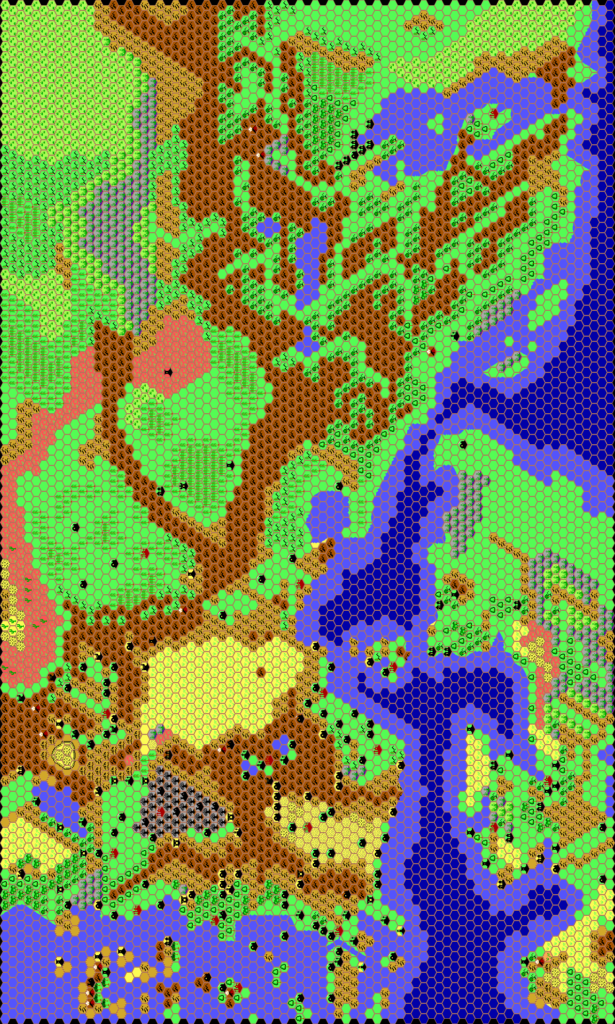
Thibault’s Known World 1010 AC, 24 miles per hex v2
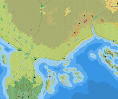
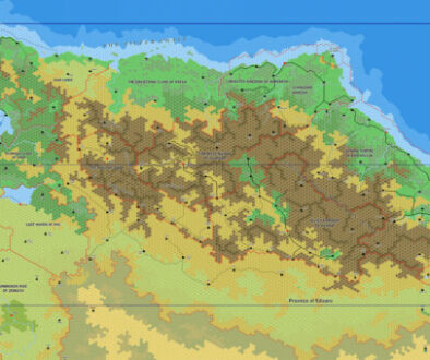
Many of Mystara’s fan-cartographers start out with the Known World, mapping it out thoroughly before moving on to other areas. Others never leave it, devoting all of their energy to the fine details of this most central area of the campaign world.
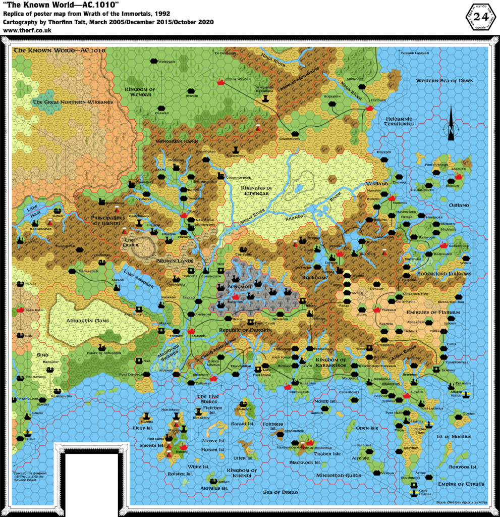
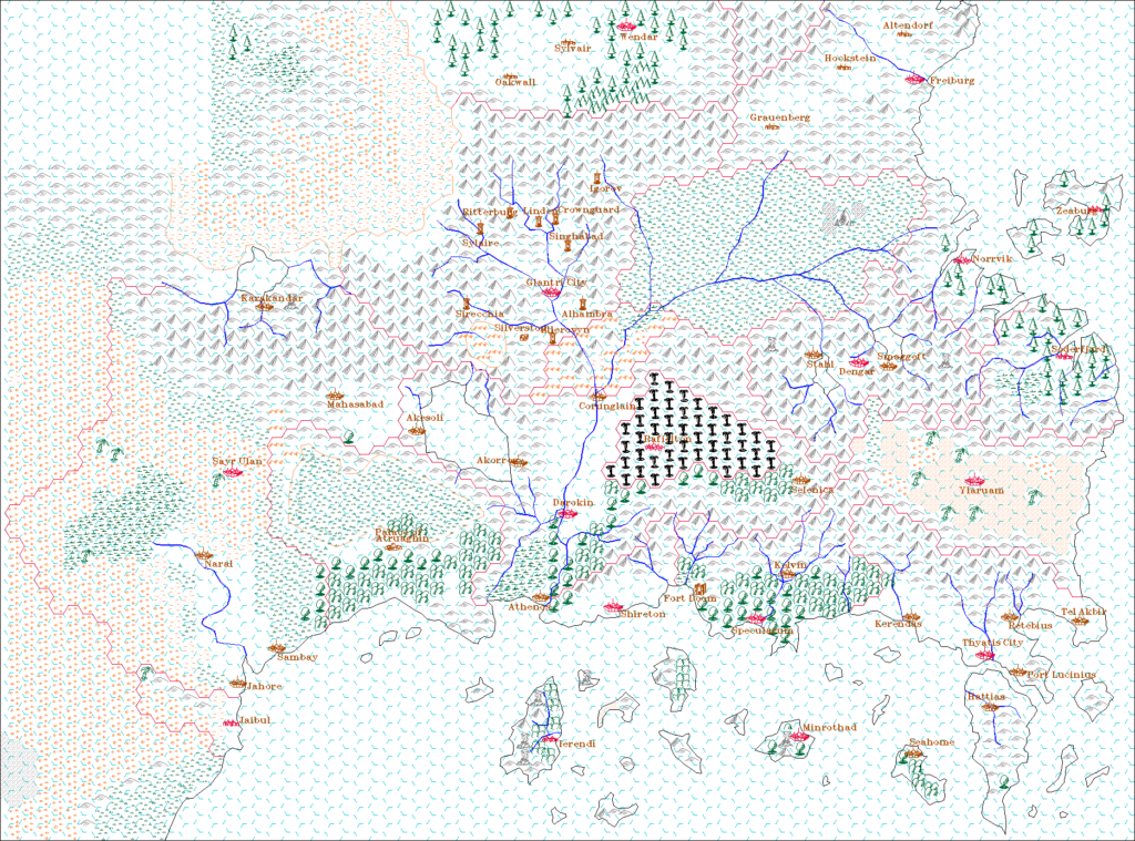
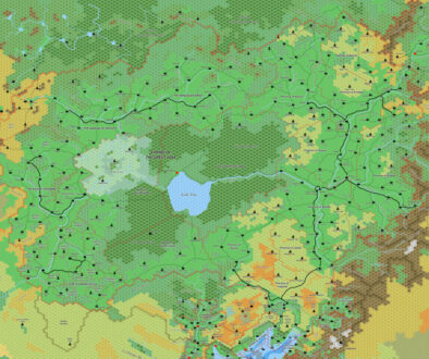
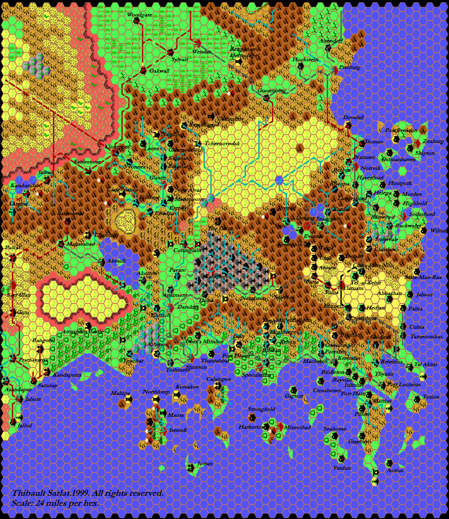
Thibault’s journey was rather different: he started elsewhere, concentrating first on areas that had not been so thoroughly mapped, and only later turned his attention to the Known World. He posted his first map of the area (the second map below) in August 1999, more than two years after he started mapping Mystara. This was just before he changed his mapping style to use manually-drawn line art instead of Grid’s angular lines, so the map includes the latter.
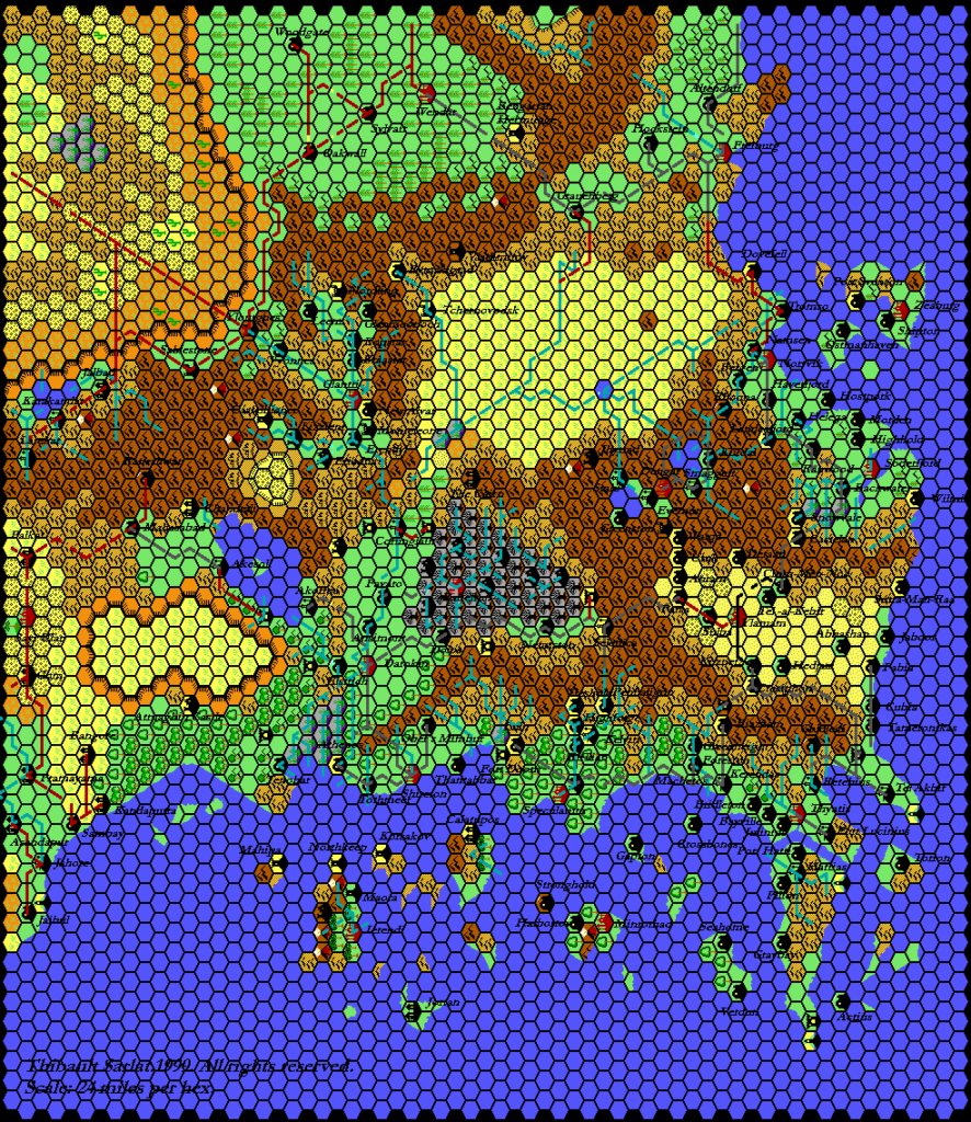
Perhaps unsurprisingly given his focus on other parts of the world, he never came back to produce a revised map of the area in his new style — though of course he did include new versions of it as part of larger maps, such as his continental map of Brun, not to mention his world-spanning 24 mile per hex map. But he did update it partially, applying his revised palette and giving it a black hex grid (the first map below).
Interestingly, he included the larger-sized Atruaghin plateau, despite his 8 mile per hex maps from around the same time going with GAZ14’s shrunken version.
Fan-made Map by Thibault Sarlat (June 2001)
Fan-made Map by Thibault Sarlat (August 1999)
This is an original map created by one of Mystara’s excellent fan cartographers. For more information on the cartographer, including a gallery of all their maps, see also Appendix M: Mappers of Mystara.
Sources
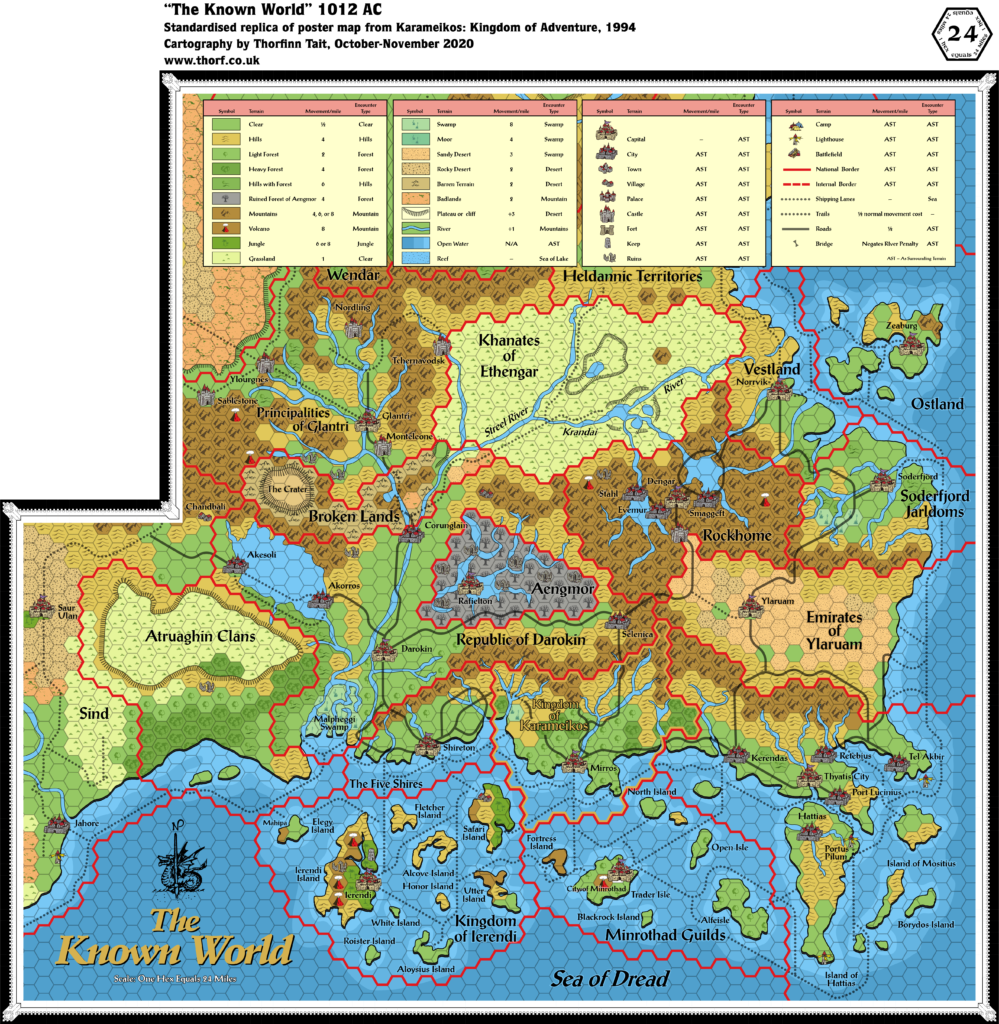
- Wrath of the Immortals (1992) (PDF at DriveThruRPG)
- Karameikos: Kingdom of Adventure (1994) (PDF at DriveThruRPG)
References
- All of Thibault’s maps at the Atlas of Mystara
- Thibault’s entry in Appendix M: Mappers of Mystara (upcoming)
- Thibault’s author page at the Vaults of Pandius
Chronological Analysis
This is a fan-made map. It was first published in August 1999, then updated in June 2001. The updated Atlas version of this map is not yet available. See also Appendix C for annual chronological snapshots of the area. For the full context of this map in Mystara’s publication history, see the upcoming Let’s Map Mystara 1999 and 2001. (Please note that it may be some time before the project reaches this point.)
The following lists are from the Let’s Map Mystara project. Additions are new features, introduced in this map. Revisions are changes to previously-introduced features. Hex Art & Fonts track design elements. Finally, Textual Additions are potential features found in the related text. In most cases, the Atlas adopts these textual additions into updated and chronological maps.
Coming Soon

