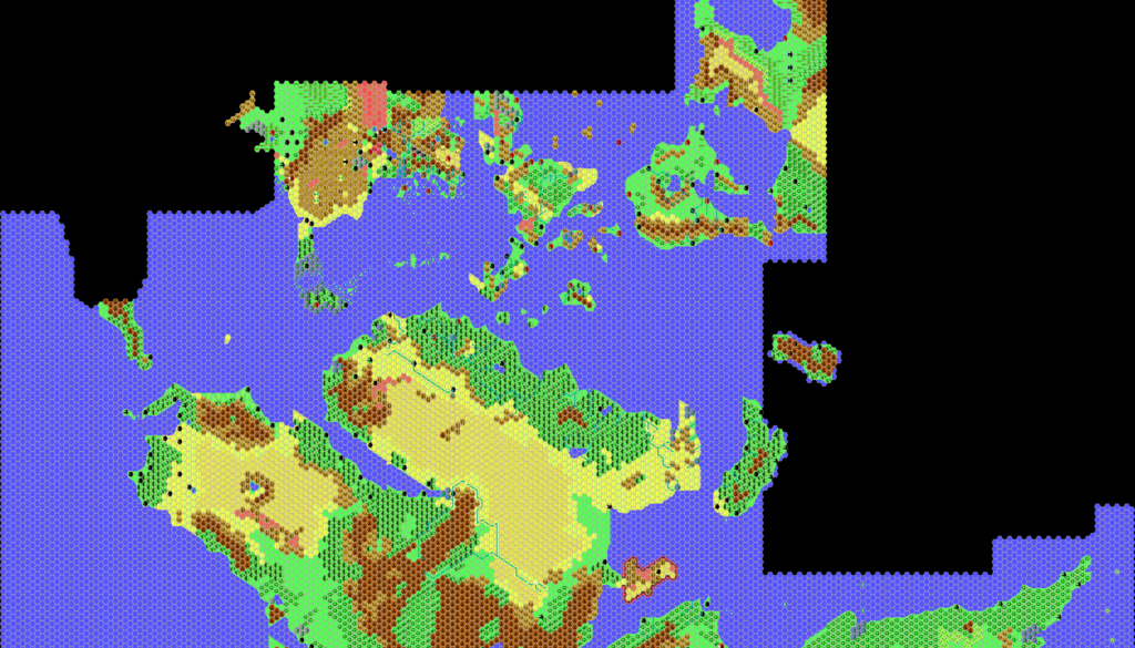
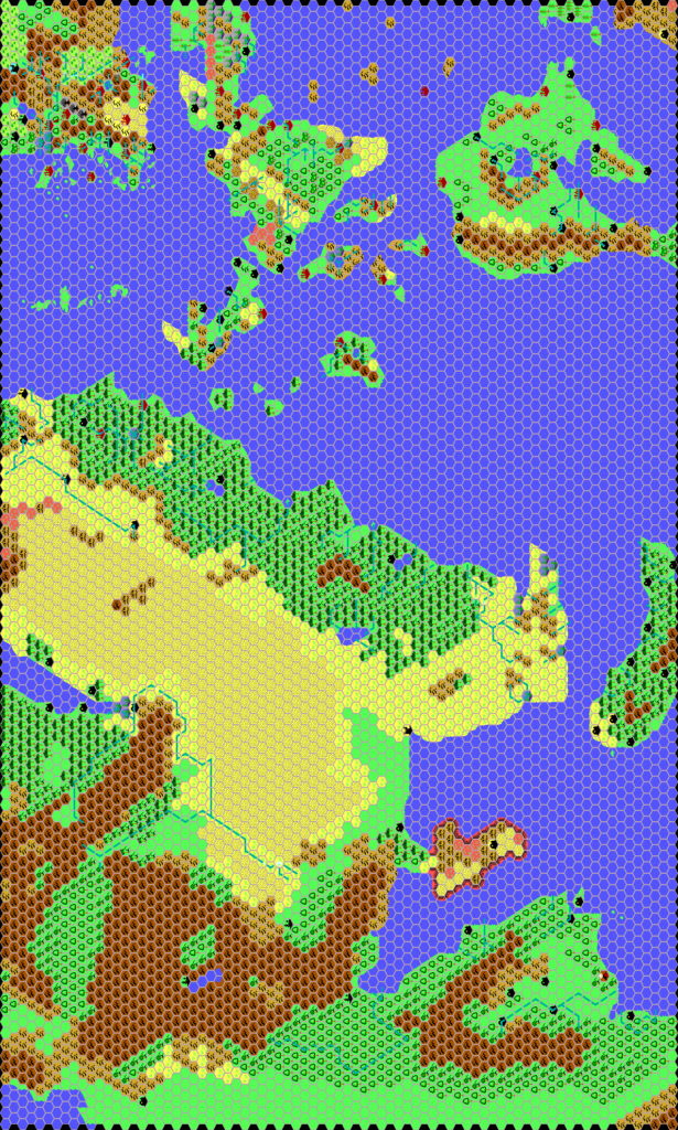
Thibault’s Mystara, 72 miles per hex 1998
By the end of 1998, Thibault had assembled most of the southern hemisphere along with key fragments of Brun and Skothar. He based his work on official 72 mile per hex maps, adding Geoff’s Davania map to complete coverage of the southern continent.
The parts of the world not present are somewhat telling, as they include most of the lining up problems endemic to Mystara’s maps. Norwold is missing, as is the Savage Coast — and the latter is particularly interesting given Thibault’s focus on it in other maps of the time. The precise configurations needed to connect these areas have now been documented in the Let’s Map Mystara project (1984 for Norwold, 1985 for the Savage Coast), but in 1998 there was no way for even the most dedicated fan cartographer to take into account things such as rotations or scaling problems.
Accordingly, Thibault worked with what he had available, joining up hex maps to fit things together. He faithfully reproduced his sources, adding a little more detail to Geoff’s Davania in places, and this would be his model going forwards.
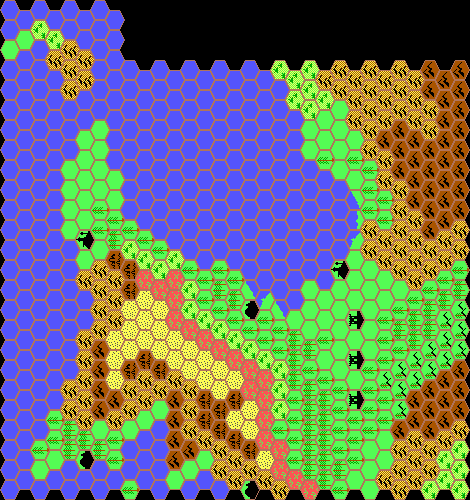
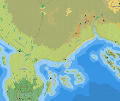
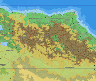
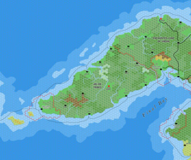
Combining Fan-made Maps by Thibault Sarlat (July 2021)
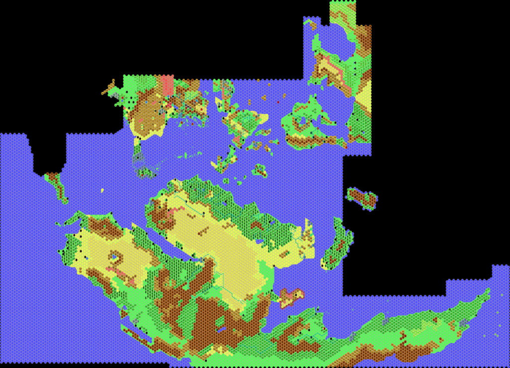
This is a composite of original maps created by one of Mystara’s excellent fan cartographers. For more information on the cartographer, including a gallery of all their maps, see also Appendix M: Mappers of Mystara.
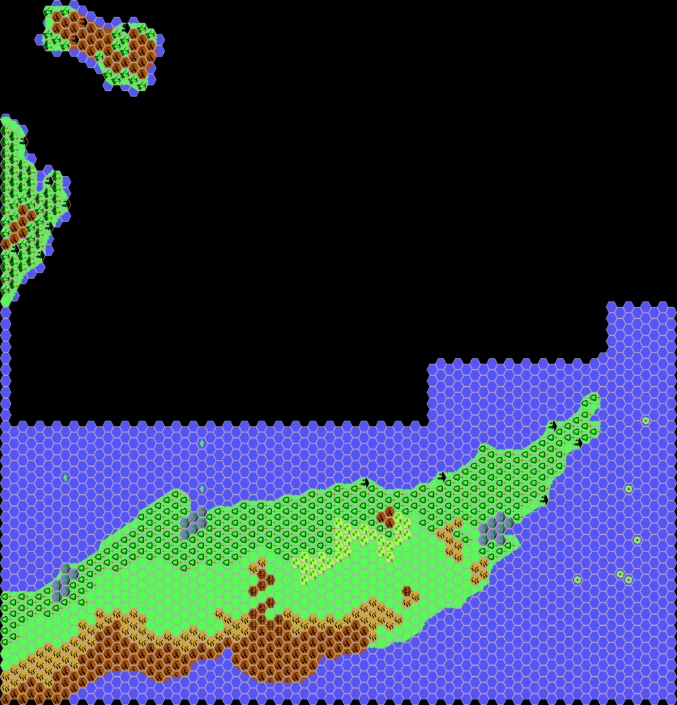
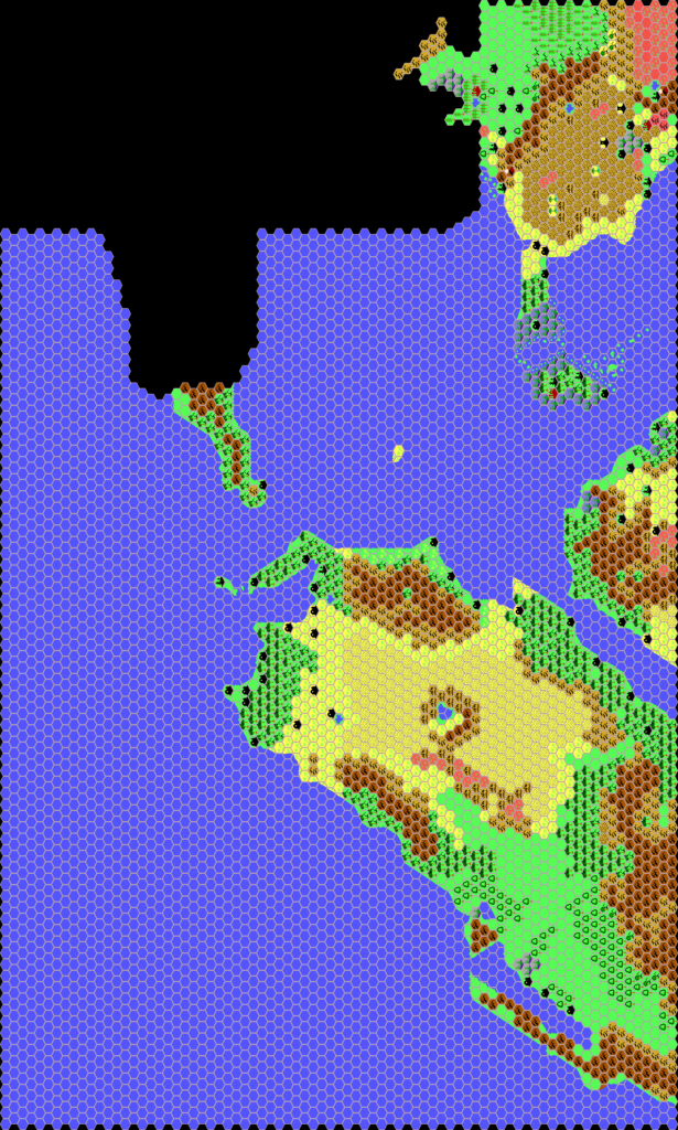
Fan-made Maps by Thibault Sarlat (January-December 1998)
This is an original map created by one of Mystara’s excellent fan cartographers. For more information on the cartographer, including a gallery of all their maps, see also Appendix M: Mappers of Mystara.
Sources
- Dawn of the Emperors (1989) (PDF at DriveThruRPG)
- Poor Wizard’s Almanac (1992)
- Poor Wizard’s Almanac II (1993) (PDF at DriveThruRPG)
- Poor Wizard’s Almanac III (1994)
- Geoff’s Davania, 72 miles per hex
References
- All of Thibault’s maps at the Atlas of Mystara
- Thibault’s entry in Appendix M: Mappers of Mystara (upcoming)
- Thibault’s author page at the Vaults of Pandius
Chronological Analysis
This is a fan-made map. It was published in 1998. The updated Atlas version of this map is not yet available. See also Appendix C for annual chronological snapshots of the area. For the full context of this map in Mystara’s publication history, see the upcoming Let’s Map Mystara 1998. (Please note that it may be some time before the project reaches this point.)
The following lists are from the Let’s Map Mystara project. Additions are new features, introduced in this map. Revisions are changes to previously-introduced features. Hex Art & Fonts track design elements. Finally, Textual Additions are potential features found in the related text. In most cases, the Atlas adopts these textual additions into updated and chronological maps.
Coming Soon

