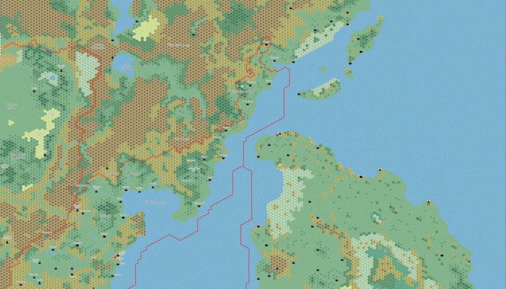
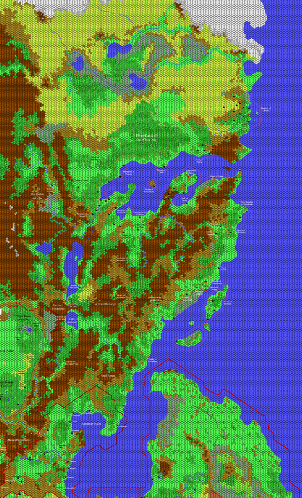
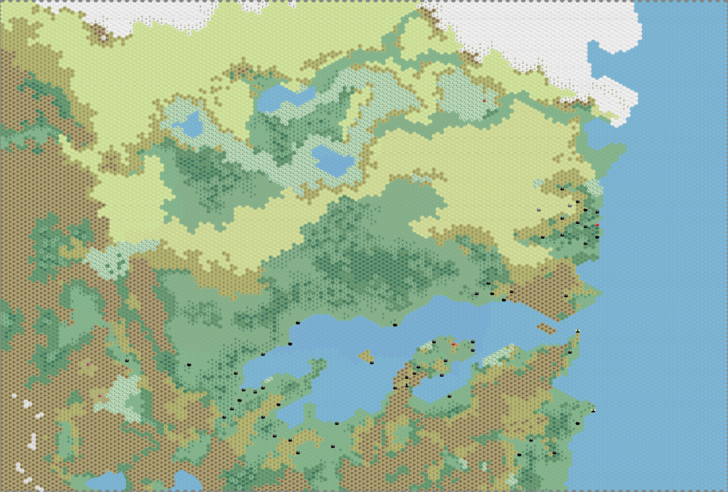
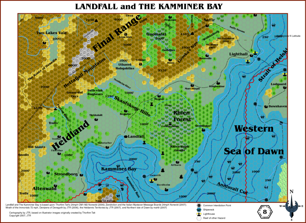
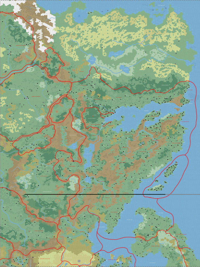
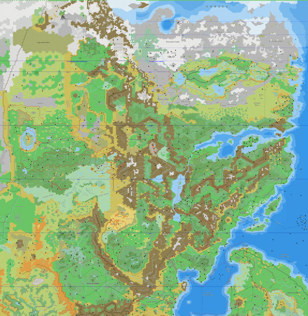
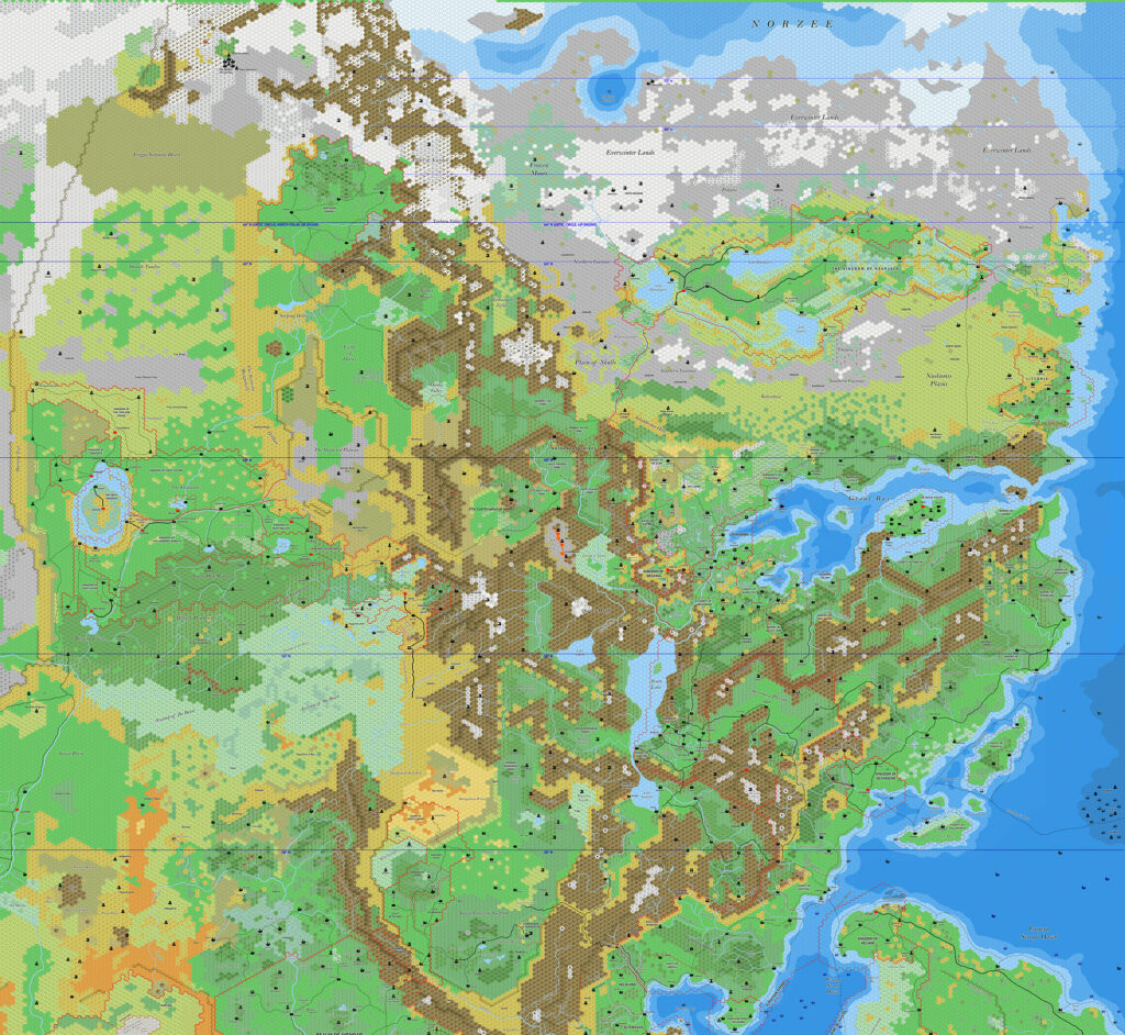
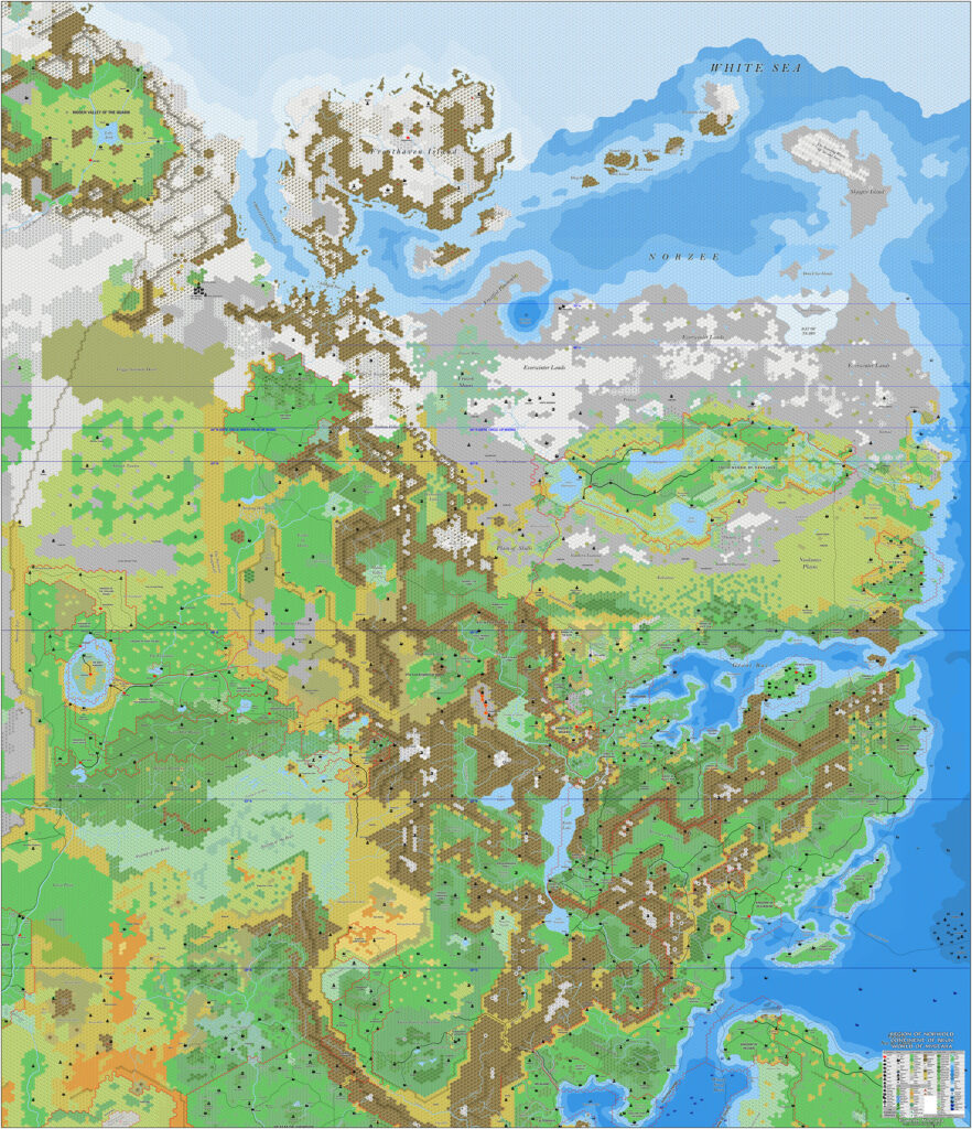
Thibault’s Norwold South, 8 miles per hex
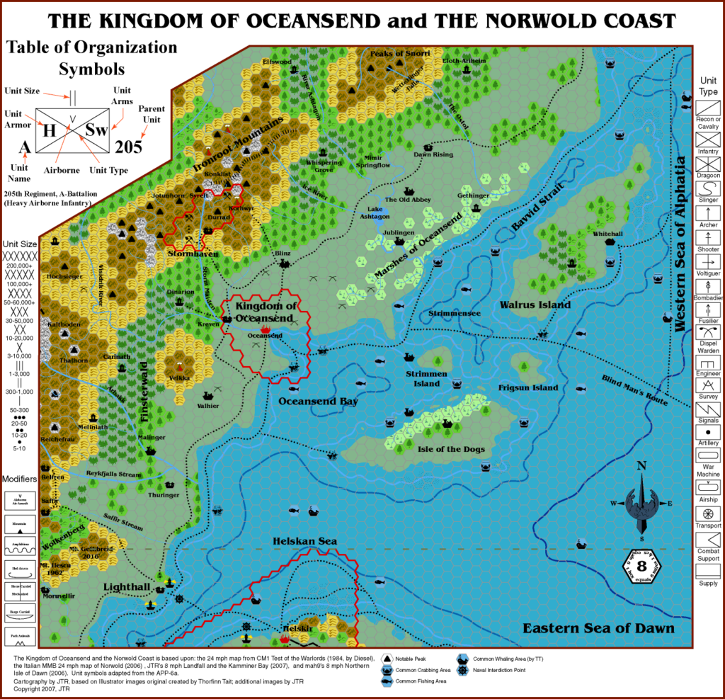
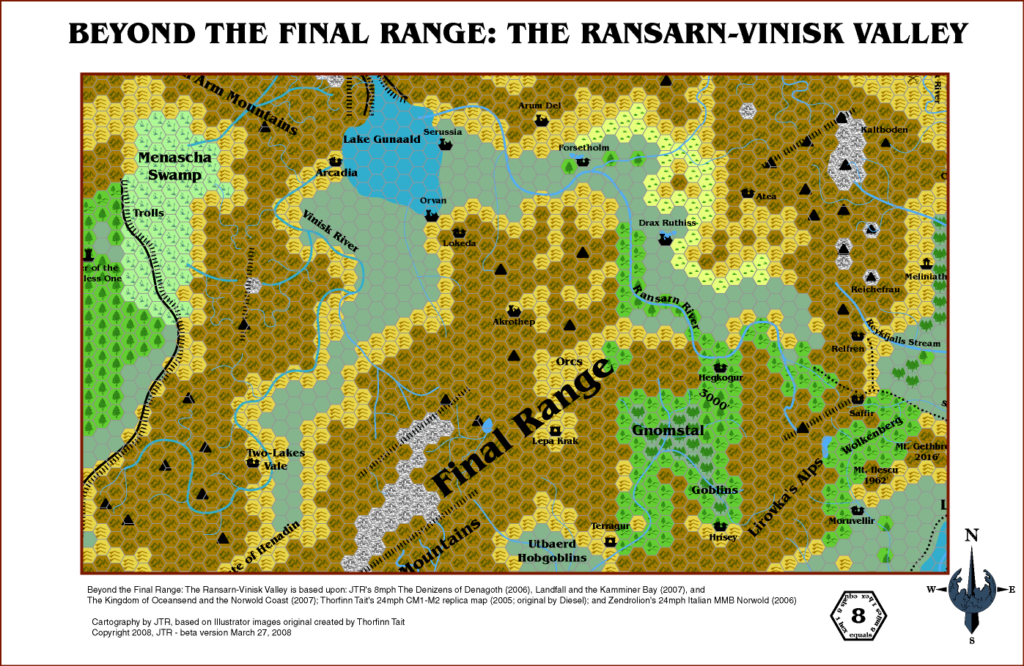
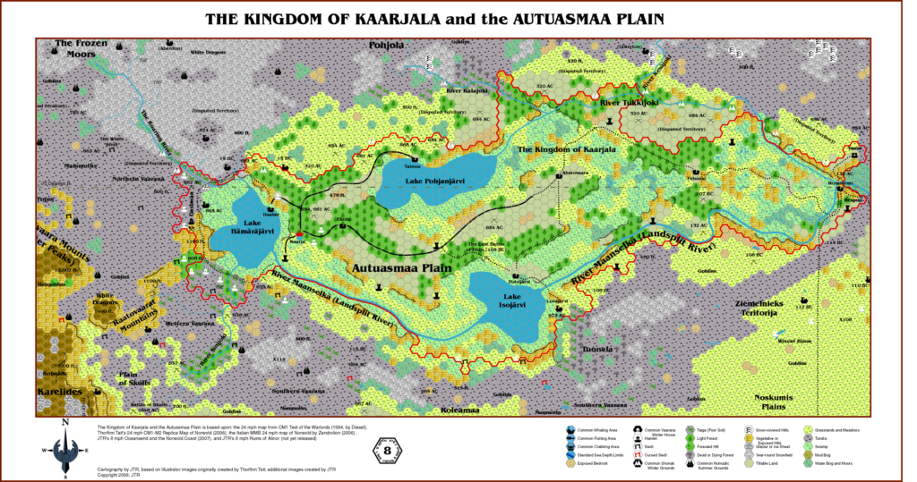
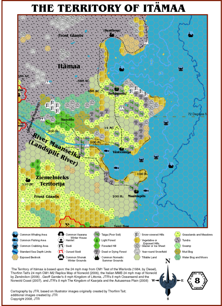
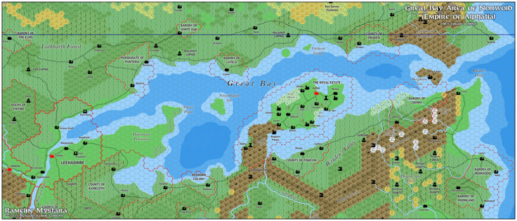
A few months after finishing Heldann, Thibault expanded the map to include southern Norwold and the northern tip of the Isle of Dawn. Together with the upcoming northern section, this map would then cover the whole of Norwold.
The Heldann portion is identical to the Heldann map, but the other areas are new to Thibault’s Hexmapper series. Though of course they are based on his previous Grid maps of those areas.
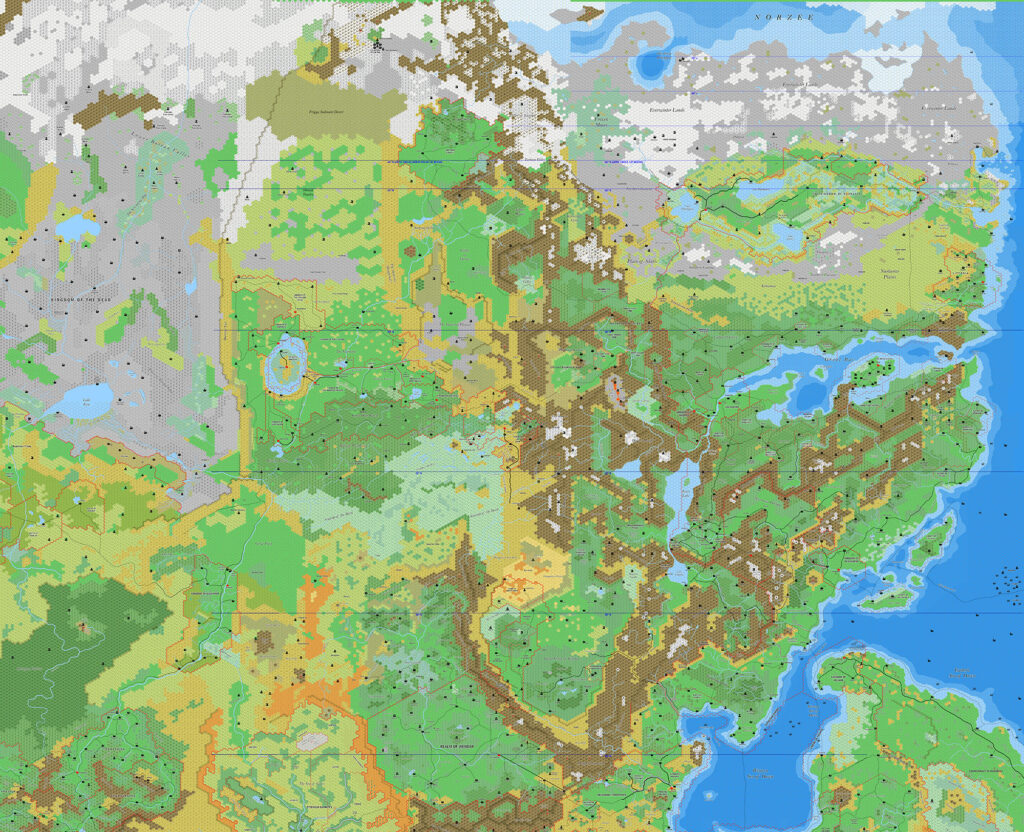
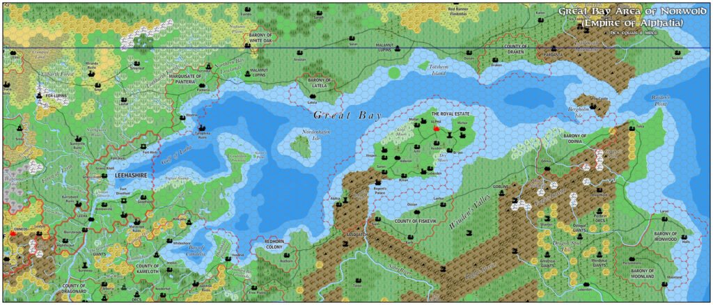
Beneath the final map is a work-in-progress version from a week or two earlier, showing where Geoff Gander had suggested settlements on the Isle of Dawn. These are present on Thibault’s finished map, but the labels were not, so I have included it here for reference.
November 2024 Update: I have added Geoff’s additional labels, along with two missing settlements (which I presumed to be towns). This combined version appears first below.
Fan-made Map by Thibault Sarlat, edited by Thorfinn Tait (November 2024)
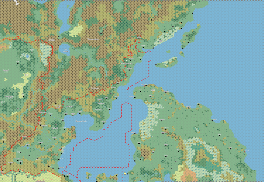
(edited by Thorfinn Tait to include Geoff Gander’s additions, November 2024)
Fan-made Map by Thibault Sarlat (January 2005)
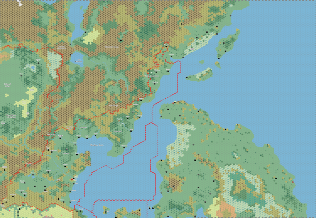
Fan-made Map by Thibault Sarlat (January 2005)
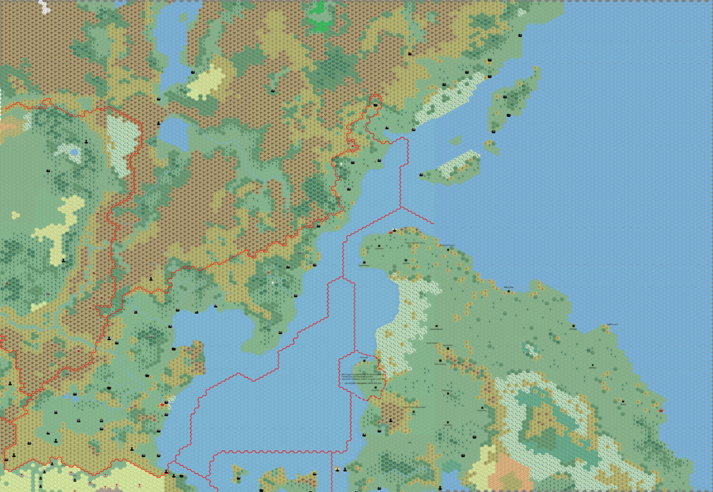
by Thibault Sarlat (with mark-up by Geoff Gander), January 2005
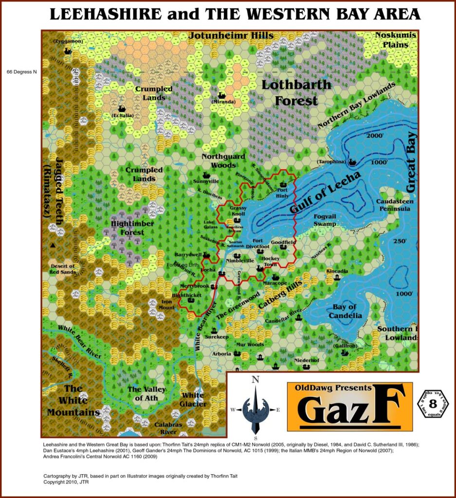
This is an original map created by one of Mystara’s excellent fan cartographers. For more information on the cartographer, including a gallery of all their maps, see also Appendix M: Mappers of Mystara.
Sources
- CM1 Test of the Warlords (1984) (PDF at DriveThruRPG)
- etc
Fan Sources
- Thibault’s CM1 Norwold, 24 miles per hex (1999)
- Thibault’s Brun, 24 miles per hex (2001)
- Thibault’s Mystara, 24 miles per hex (2002)
- Thibault’s Norwold, 24 miles per hex (2002)
- Thibault’s Norwold, 8 miles per hex (2002)
- Thibault’s Heldann, 8 miles per hex v4 (2004)
References
- All of Thibault’s maps at the Atlas of Mystara
- Thibault’s entry in Appendix M: Mappers of Mystara (upcoming)
- Thibault’s author page at the Vaults of Pandius
Chronological Analysis
This is a fan-made map. It was published in January 2005, with an edited version added in November 2024. The updated Atlas version of this map is not yet available. See also Appendix C for annual chronological snapshots of the area. For the full context of this map in Mystara’s publication history, see the upcoming Let’s Map Mystara 2005. (Please note that it may be some time before the project reaches this point.)
The following lists are from the Let’s Map Mystara project. Additions are new features, introduced in this map. Revisions are changes to previously-introduced features. Hex Art & Fonts track design elements. Finally, Textual Additions are potential features found in the related text. In most cases, the Atlas adopts these textual additions into updated and chronological maps.
Under Construction! Please check back again soon for updates.
Additions
- Settlements —

