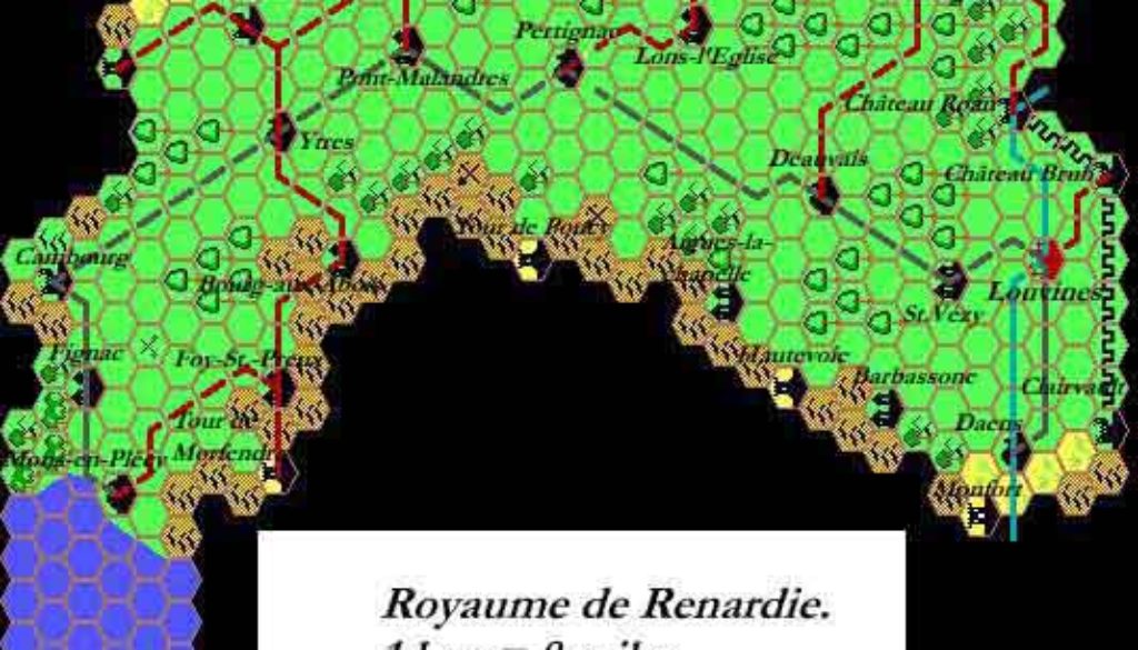
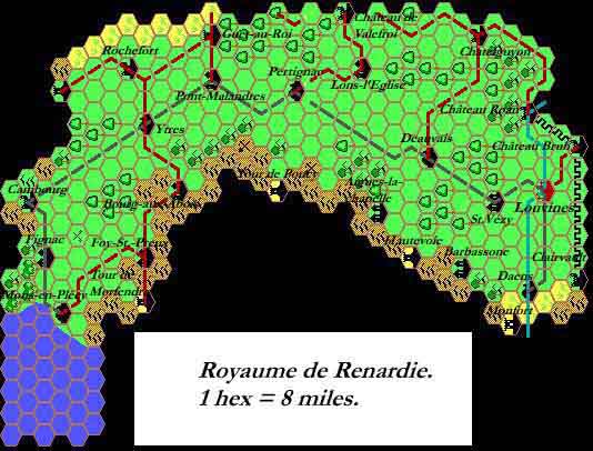
Thibault’s Renardy, 8 miles per hex
This little piece was Thibault “Clenarius” Sarlat’s first posted map, which he announced on the Mystara Mailing List back in June 1999.
It’s a rendition of The Kingdom of Renardy from Dragon 179, using the Grid cartography program that would soon become Thibault’s trademark mapping style. It is indicative of his early Grid maps, with rotated icons, a light grey hex grid, and angular rivers, roads, trails, and borders. As he continued to make maps after this, he slowly upgraded his system to improve all of these aspects.
The map isn’t the best quality, and this is also characteristic of its time: since most people still accessed the Internet through dial-up modems at this stage, transfer speeds were a real problem, and so the map is a heavily compressed JPEG.
Although he went on to map out most of the world, and revisited many areas more than once, Thibault never came back to Renardy after this — although he did incorporate it into his Savage Coast maps posted soon afterwards.
Fan-made Map by Thibault Sarlat (June 1999)
This is an original map created by one of Mystara’s excellent fan cartographers. For more information on the cartographer, including a gallery of all their maps, see also Appendix M: Mappers of Mystara.
Sources
- The Voyage of the Princess Ark Part 26: A glass of wine and a shaggy dog story, Dragon 179 (March 1992)
References
- All of Thibault’s maps at the Atlas of Mystara
- Thibault’s entry in Appendix M: Mappers of Mystara (upcoming)
- Thibault’s author page at the Vaults of Pandius
Chronological Analysis
This is a fan-made map. It was published in 1999. The updated Atlas version of this map is not yet available. See also Appendix C for annual chronological snapshots of the area. For the full context of this map in Mystara’s publication history, see the upcoming Let’s Map Mystara 1999. (Please note that it may be some time before the project reaches this point.)
The following lists are from the Let’s Map Mystara project. Additions are new features, introduced in this map. Revisions are changes to previously-introduced features. Hex Art & Fonts track design elements. Finally, Textual Additions are potential features found in the related text. In most cases, the Atlas adopts these textual additions into updated and chronological maps.
Coming Soon


