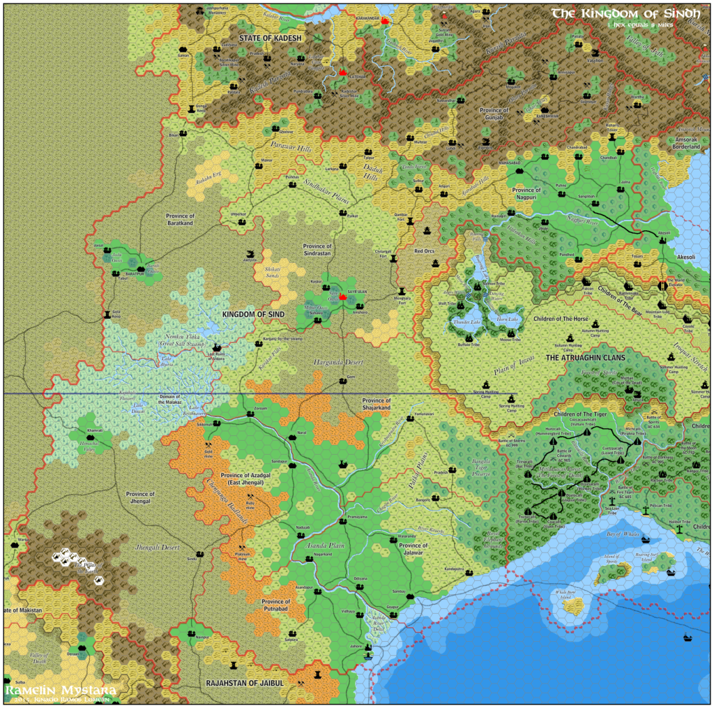
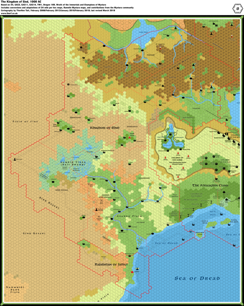
Thibault’s Sind, 8 miles per hex v1
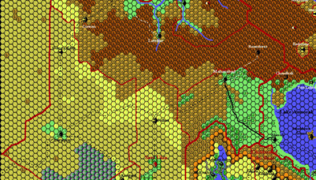
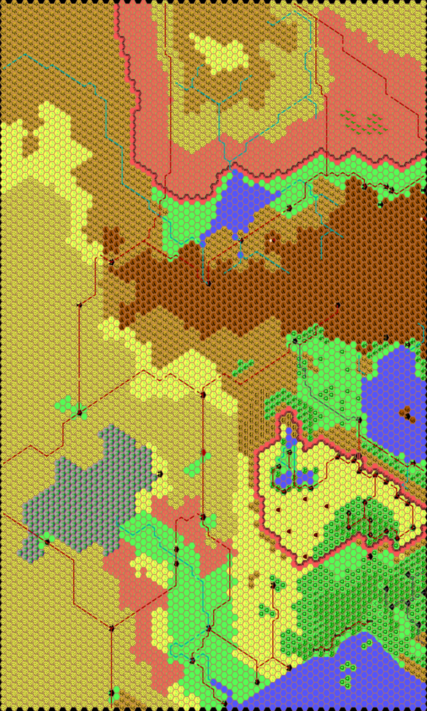
In August 1999, Thibault posted his first draft map of the Kingdom of Sind and notified the Mystara Mailing List. At this stage, it was already fully formed, with angular rivers and roads according to his style of the time, but without labels. He made a couple of very minor revisions in December of the same year, altering a few hexes and expanding a road on the Adri Varma Plateau.
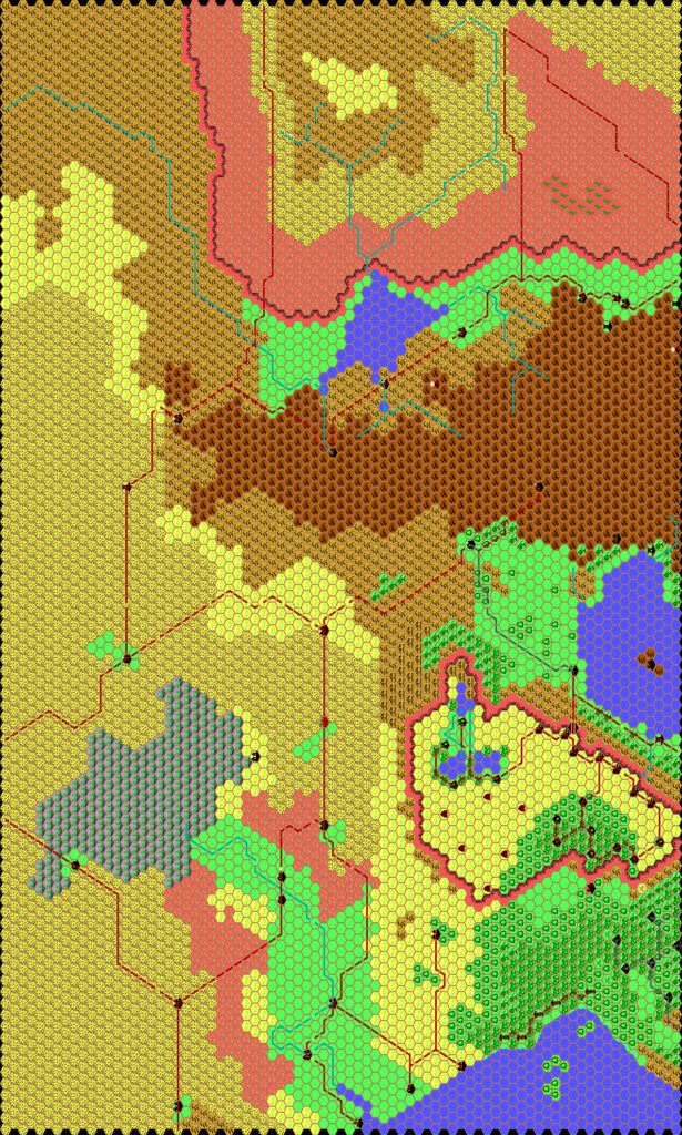
In the meantime his style changed quite a bit, and he changed from Grid’s angular line-work to manual painting in Paint Shop Pro. Thus it was that the final version, in February 2000, adapted this new style.
More significantly, as Thibault remarked on the MML at the time, he revised the eastern edge of the map to match the Known World map properly, reducing the eastern edge of the Adri Varma and altering Darokin to fit. Unfortunately he did not revise the Atruaghin Plateau; that would not come until Cthulhudrew’s Atruaghin in 2004.
Regardless, this was the first map of Sind produced at this iconic scale, and it is a great work indeed. Thibault took the rather featureless area of the 24 mile per hex map and began to add small details. Then he added more details for the final version of the map.
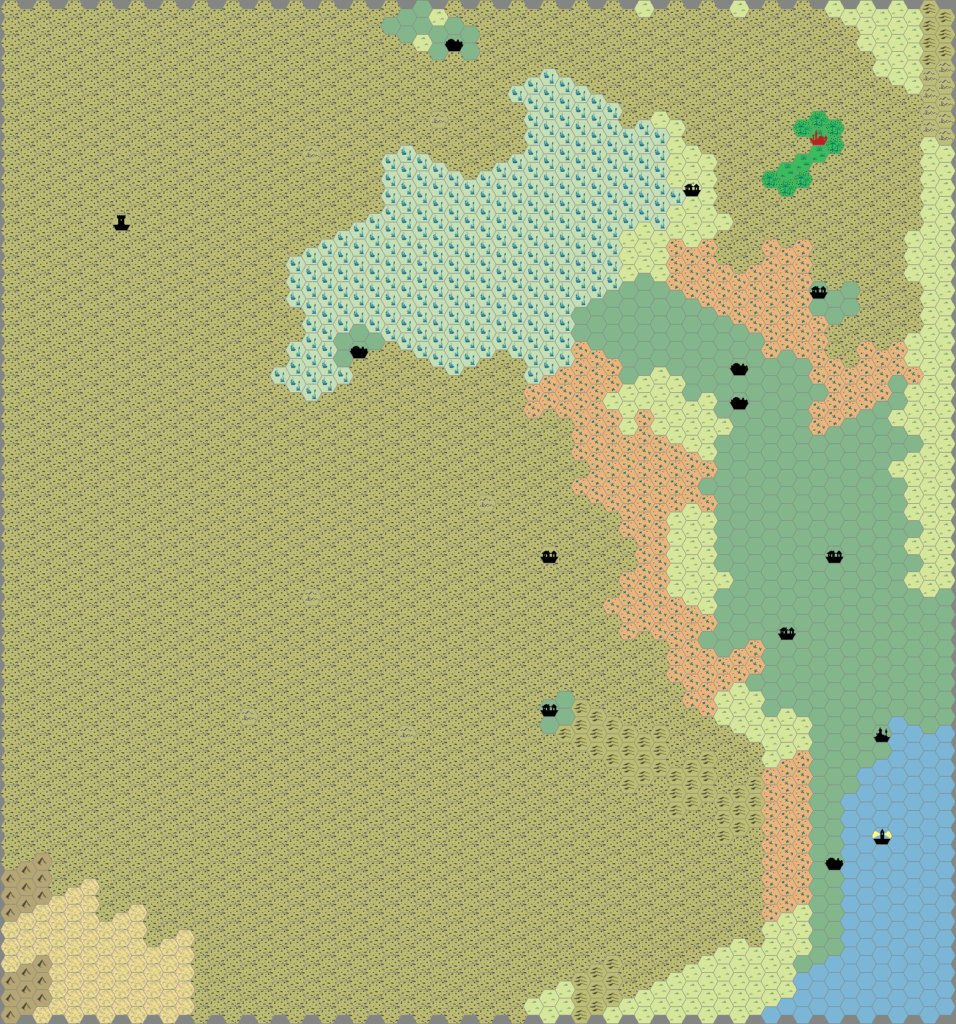
Sadly, he never produced a version with his revised Grid art. On the other hand, he did produce a Hexmapper version in 2005, part of a larger trail map of the Known World and the Great Waste.
Fan-made Map by Thibault Sarlat (February 2000)
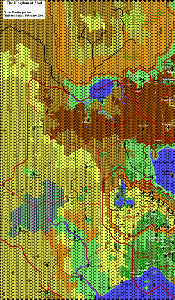
Fan-made Maps by Thibault Sarlat (August and December 1999)
This is an original map created by one of Mystara’s excellent fan cartographers. For more information on the cartographer, including a gallery of all their maps, see also Appendix M: Mappers of Mystara.
Sources
- The Voyage of the Princess Ark Part 16: Conspiracies within conspiracies, Dragon #169 (May 1991)
- Champions of Mystara (1993) (PDF at DriveThruRPG)
References
- All of Thibault’s maps at the Atlas of Mystara
- Thibault’s entry in Appendix M: Mappers of Mystara (upcoming)
- Thibault’s author page at the Vaults of Pandius
Chronological Analysis
These are fan-made maps. They were published in August & December 1999 and February 2000. The updated Atlas version of this map is Sind, 8 miles per hex. See also Appendix C for annual chronological snapshots of the area. For the full context of this map in Mystara’s publication history, see the upcoming Let’s Map Mystara 1999 and 2000. (Please note that it may be some time before the project reaches this point.)
The following lists are from the Let’s Map Mystara project. Additions are new features, introduced in this map. Revisions are changes to previously-introduced features. Hex Art & Fonts track design elements. Finally, Textual Additions are potential features found in the related text. In most cases, the Atlas adopts these textual additions into updated and chronological maps.
Coming Soon

