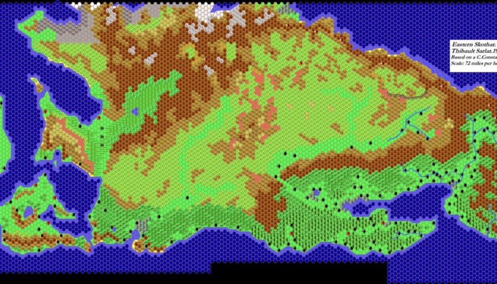
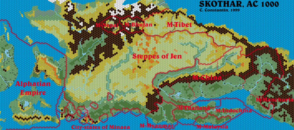
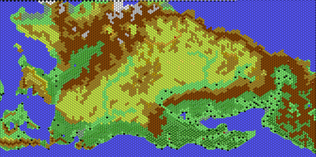
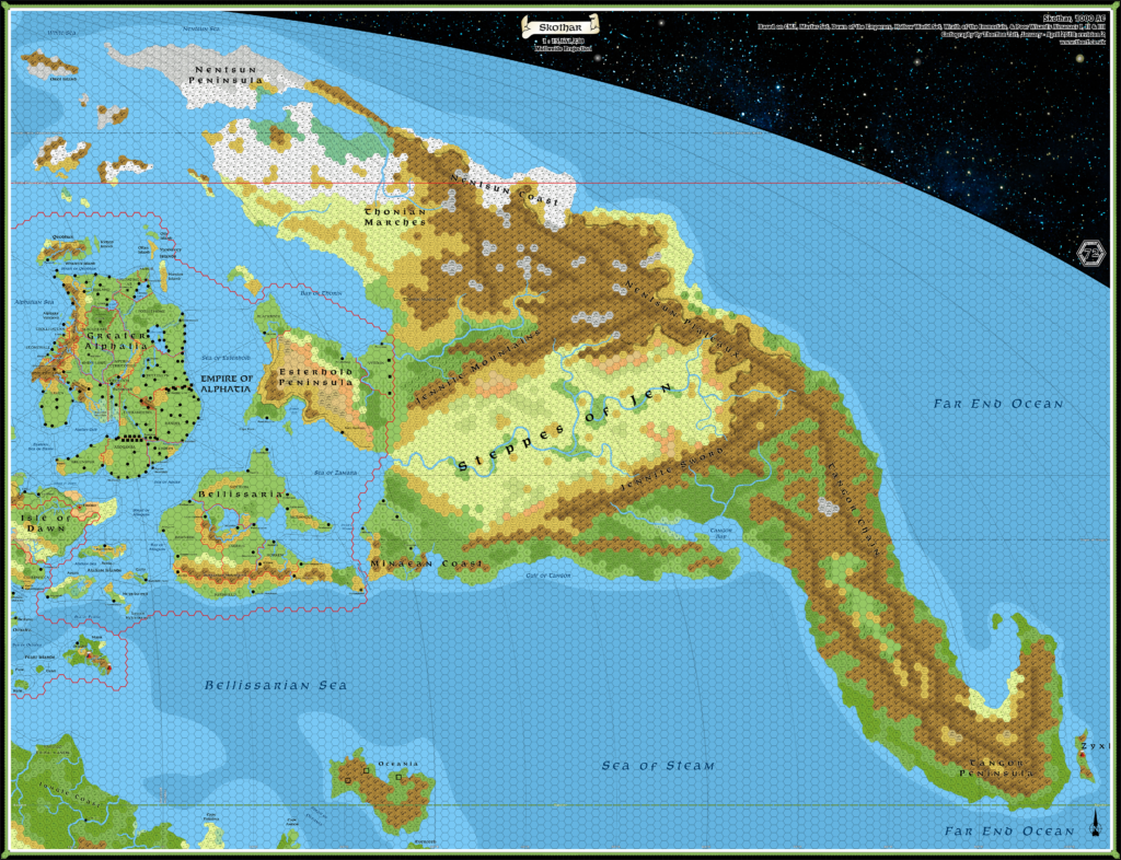
Thibault’s Skothar, 72 miles per hex 1999
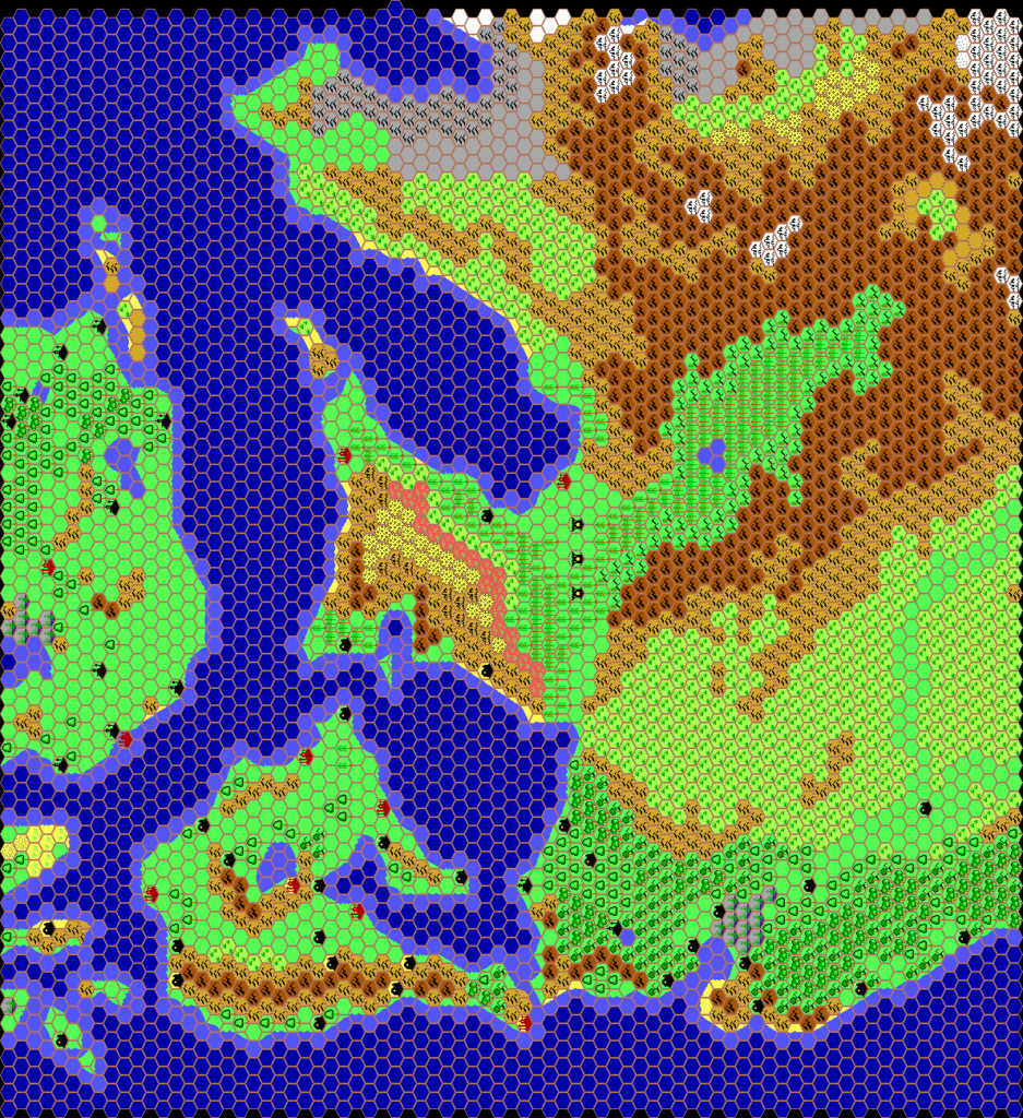
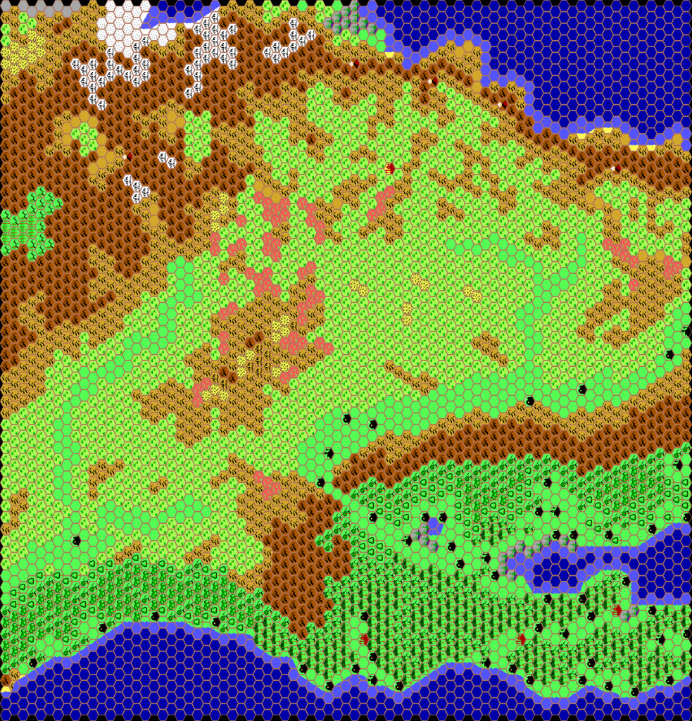
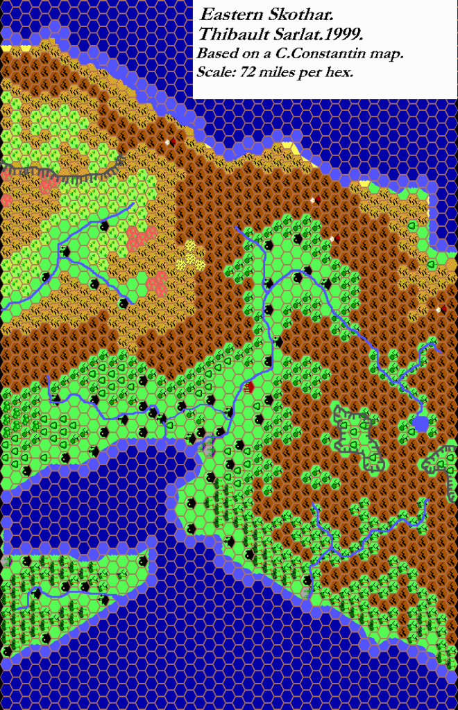
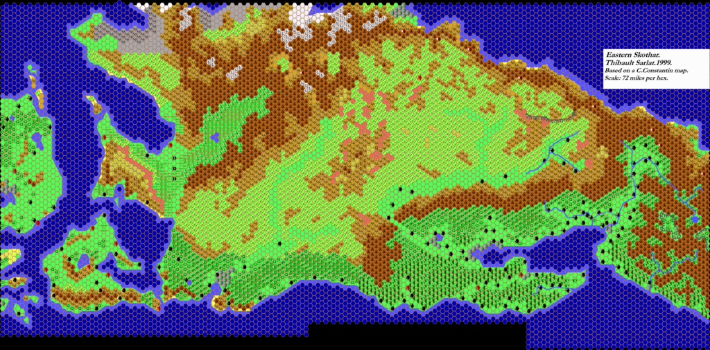
Thibault created this map of Skothar, closely based on Christian Constantin’s map. He made it in three sections, which I have assembled here. Unfortunately, the western and central parts have since been lost; only the eastern section remains in its finished form, with rivers and plateaus added. Thankfully, the Grid files for these were in Thibault’s archives, so I have presented them below in lieu of the original maps.
Just after he worked up these maps, Thibault began to use a new technique for line work, abandoning Grid’s built-in feature in favour of adding them manually in Paint Shop Pro. It’s not quite clear at what stage he added the rivers and plateaus to the base terrain, but it seems likely these were an upgrade to the original maps posted in September 1999.
He later recreated the whole area with upright hex art, as well as expanding much of it to 24 miles per hex. But this was the only version to include rivers and plateaus at this scale.
Combining Fan-made Maps by Thibault Sarlat (July 2021)
This is a composite of original maps created by one of Mystara’s excellent fan cartographers. For more information on the cartographer, including a gallery of all their maps, see also Appendix M: Mappers of Mystara.
Fan-made Maps by Thibault Sarlat (September 1999)
Skothar, 72 miles per hex by Thibault Sarlat, September 1999
This is an original map created by one of Mystara’s excellent fan cartographers. For more information on the cartographer, including a gallery of all their maps, see also Appendix M: Mappers of Mystara.
Sources
- Hollow World Campaign Set (1990) (PDF at DriveThruRPG)
- Poor Wizard’s Almanac II (1993) (PDF at DriveThruRPG)
- Poor Wizard’s Almanac III (1994) (PDF at DriveThruRPG)
Fan Sources
References
- All of Thibault’s maps at the Atlas of Mystara
- Thibault’s entry in Appendix M: Mappers of Mystara (upcoming)
- Thibault’s author page at the Vaults of Pandius
Chronological Analysis
This is a fan-made map. It was published in September 1999. The updated Atlas version of this map is not yet available. See also Appendix C for annual chronological snapshots of the area. For the full context of this map in Mystara’s publication history, see the upcoming Let’s Map Mystara 1999. (Please note that it may be some time before the project reaches this point.)
The following lists are from the Let’s Map Mystara project. Additions are new features, introduced in this map. Revisions are changes to previously-introduced features. Hex Art & Fonts track design elements. Finally, Textual Additions are potential features found in the related text. In most cases, the Atlas adopts these textual additions into updated and chronological maps.
Coming Soon

