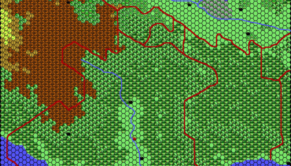
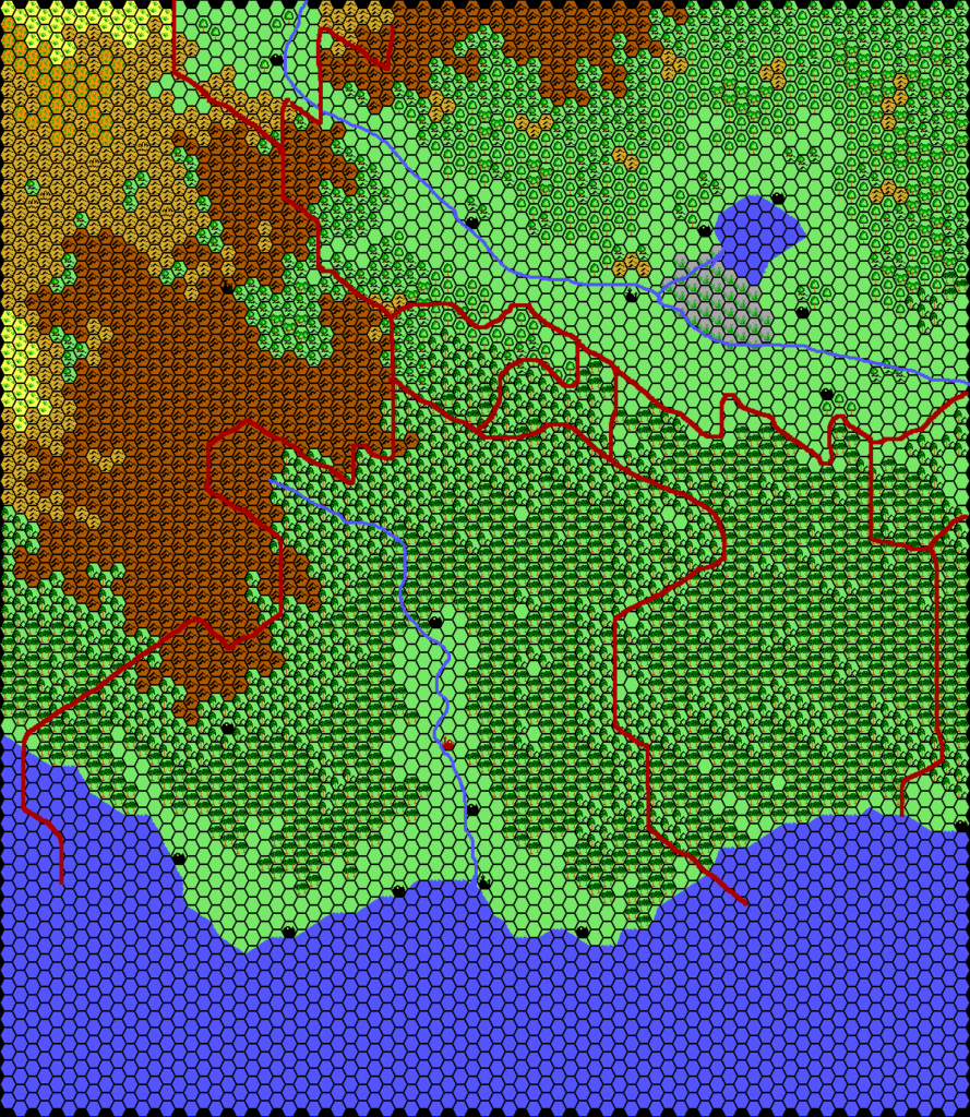
Thibault’s Tangor, 24 miles per hex
Having worked up two sections of Minaea in December 2000, Thibault turned his attention once again to the southern coast of Skothar in March 2001. After completing the terrain, he added rivers and borders, then posted the final map in May.
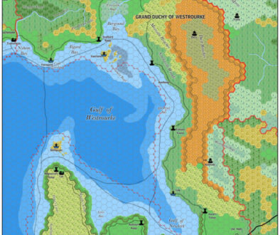
In the credits, Thibault listed TSR, Christian Constantin, and Giulio Caroletti, whose Tangor Gazetteer is available at the Vaults of Pandius on the Skothar page. Although this map is unlabelled, it clearly corresponds to another map, an altered crop of Christian Constantin’s Skothar map with added labels and other details.
The large nation on the southwest and central coast is Tangor, with Lleweryn to the east, and various smaller nations to the north. It’s worth noting that “Tangor” is a recurring name on Skothar, covering an utterly vast spread of the continent, but in terms of this map it refers to the country.
This is a good example of the kind of collaboration that Thibault pursued more and more as his projects went on. He had often talked about this in his posts to the Mystara Mailing List, and in the later years of his mapping his focus changed to primarily collaborative projects like this.
It goes without saying that this was the first such detailed view of this part of Skothar, and it remains the only 24 mile per hex map of the area to date.
Fan-made Map by Thibault Sarlat (May 2001)
This is an original map created by one of Mystara’s excellent fan cartographers. For more information on the cartographer, including a gallery of all their maps, see also Appendix M: Mappers of Mystara.
Sources
- Hollow World Campaign Set (1990) (PDF at DriveThruRPG)
- Outer World Planetary Map
Fan Sources
References
- All of Thibault’s maps at the Atlas of Mystara
- Thibault’s entry in Appendix M: Mappers of Mystara (upcoming)
- Thibault’s author page at the Vaults of Pandius
Chronological Analysis
This is a fan-made map. It was published in 2001. The updated Atlas version of this map is not yet available. See also Appendix C for annual chronological snapshots of the area. For the full context of this map in Mystara’s publication history, see the upcoming Let’s Map Mystara 2001. (Please note that it may be some time before the project reaches this point.)
The following lists are from the Let’s Map Mystara project. Additions are new features, introduced in this map. Revisions are changes to previously-introduced features. Hex Art & Fonts track design elements. Finally, Textual Additions are potential features found in the related text. In most cases, the Atlas adopts these textual additions into updated and chronological maps.
Coming Soon


